- Mountains-to-Sea Trail
-
Mountains-to-Sea Trail 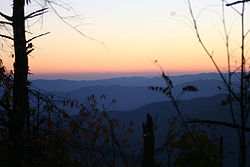
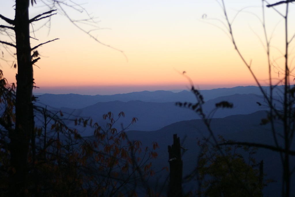
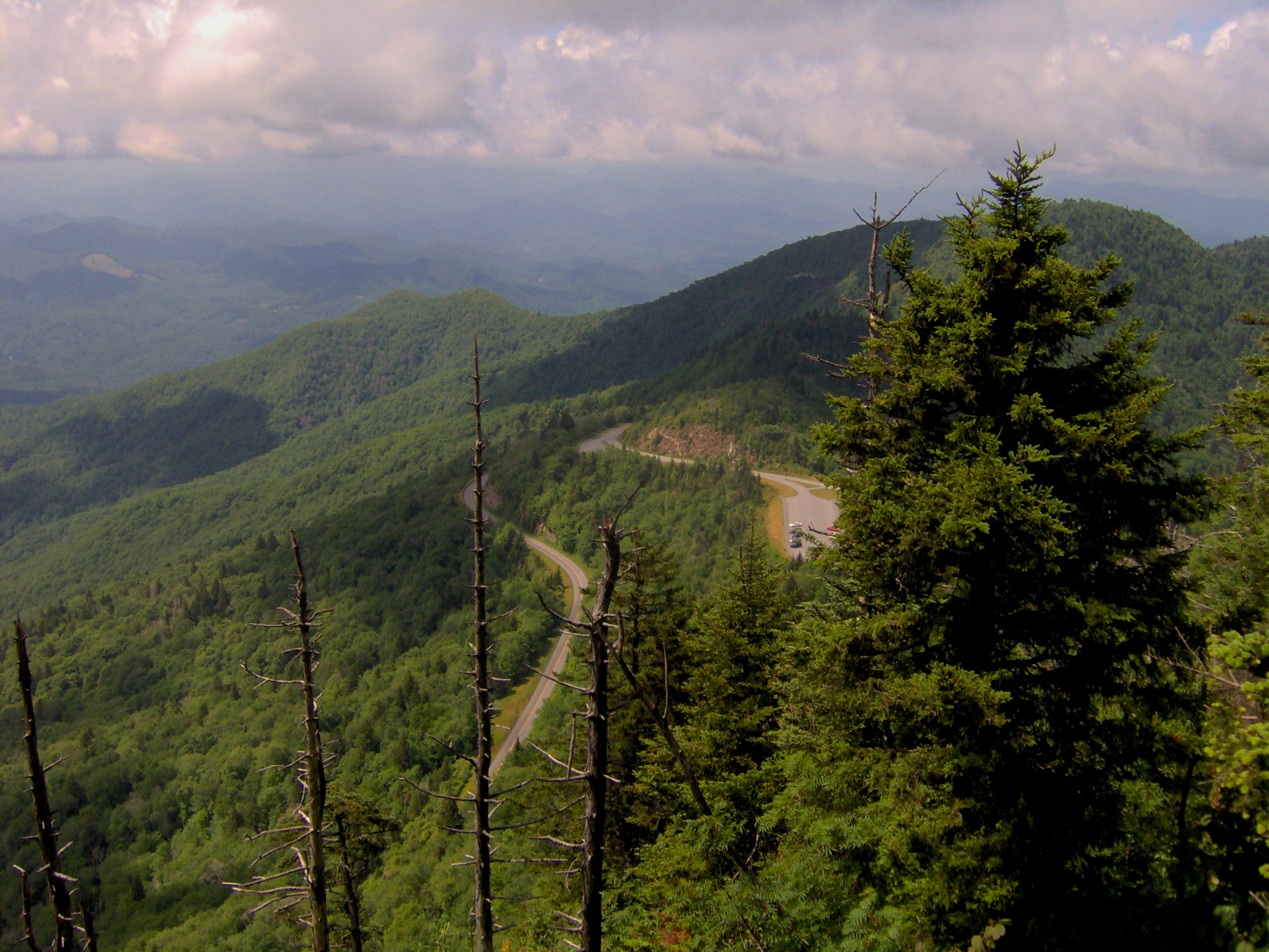
Sunset view from Clingman's Dome, the Western terminus of the trail Length appx 1000 mi (planned)
530 mi (designated & completed)Location North Carolina, United States Designation National Recreation Trail
North Carolina State TrailTrailheads Jockey's Ridge, Clingman's Dome Use Hiking Elevation Change 6,684 ft (2,037 m) Highest point Mount Mitchell Lowest point Pamlico Sound Trail difficulty Moderate to Strenuous Sights Appalachian Mountains
Sauratown Mountains
Multiple rivers
Outer BanksHazards American Alligator
American Black Bear
Biting flies
Chiggers
Diarrhea from water
Dog attacks
Limited water
Mosquitos
Poison ivy
Severe weather
Steep grades
Tick-borne diseases
Traffic collisions
Venomous snakes
YellowjacketsSurface natural, sand, gravel, boardwalk, asphalt Website http://www.ncmst.org/ The Mountains-to-Sea Trail (MST) is a long-distance trail, for hiking and backpacking, that runs across North Carolina from the Great Smoky Mountains to the Outer Banks. The trail's western endpoint is at Clingman's Dome, where it connects to the Appalachian Trail in the Great Smoky Mountains National Park. Its eastern endpoint is in Jockey's Ridge State Park on the tallest sand dune on the east coast. The trail is envisioned as a scenic backbone of an interconnected trail system spanning the state. As such, the trail's route attempts to connect as many trail systems and natural scenic areas as practicable. A little over half of the trail is complete in multiple, disconnected segments across the state.
The Mountains-to-Sea State Park Trail was made an official land-based unit of the state park system by the General Assembly on August 2, 2000. Since that time, the State Trail unit has grown to encompass 691 acres in three tracks. Each of these tracks is leased to local governments for management as nature parks, under the guidance of the NC Division of Parks and Recreation (NCDPR). The vast majority of the foot trail is located on lands not directly managed as part of its associated state park unit.
The trail is a part of the North Carolina State Trails Program which is a section of NCDPR, and as of January 2011, 530 miles of trail has been designated as a part of the MST by NCDPR.
The segments of MST along the Blue Ridge Parkway were designated as National Recreation Trail in 2005.
The MST has the distinction of being the highest elevation, long-distance trail in the eastern United States, where it crosses Mount Mitchell at 6,684 feet (2,037 meters).
Contents
Incorporated trails
The MST incorporates several other notable trails as part of its route.
- The MST shares several miles of its route with the Appalachian Trail near the MST's western trail-head.
- Art Loeb Trail
- The MST follows most of the Tanawha Trail's length.
- The MST shares most of the Sauratown Trail's route, which is the only bridle trail that connects two NC state parks and is the longest trail on private owned lands in the state.
- A recent addition to the trail is the Haw River Trail which begins at Haw River State Park in Guilford and Chatham Counties and continues to Cane Creek in southern Alamance County.
- The MST follows the entire length of the Neusiok Trail.
Camping
Hikers should be aware that the Mountains-To-Sea Trail does contain camping restrictions across its route. Hikers should research and follow all rules and regulations for camping, as the MST does cross through lands managed by various public and private land agencies & individuals.
In the mountain section, starting in the Great Smoky Mountains National Park, camping is allowed at permissible campsites with a back-country permit. Please contact the GSMNP back-country office for permit and reservation information.
Camping within the Blue Ridge Parkway corridor is prohibited except for permissible parkway campgrounds (Doughton Park, Julian Price Park, Linville Falls, Crabtree Meadows, and Mt. Pisgah). In some areas, hikers can cross the BRP boundary lines into the Nantalhala and Pisgah National Forests to camp at well-established campsites. Planning is being done to create designated, private campsites for the MST on parkway land; however, the only backpack site currently open is in Julian Price Park.
On the North Carolina Piedmont section of the MST, camping is not permitted along the Sauratown Trail section (from Pilot Mountain to Hanging Rock State Parks) since the trail is managed and maintained on land leased from private landowners. A list of nearby campgrounds and lodging is maintained on the Sauratown Trails Association Website. There are three privately managed campgrounds a short distance off the Sauratown Trail.
Camping inside the North Carolina State Parks are only allowed at permissible camping sites and campgrounds. Large sections of the Falls Lake State Recreation Area, and neighboring public lands managed by the Army Corps of Engineers, also prohibit camping.
Stealth camping or any illegal camping along the MST is highly discouraged. Possible citations and fines may be enforced if such camping is found by the managing land agency.
Park lands
The MST as a State Trail unit of the state park system encompasses 691 acres of land in three tracks. The NC Division of Parks and Recreation (NCDPR) leases each of these tracks to local governments for operation as nature parks. Currently, only one of the tracks is open to the public, located in Alamance County. The two unopened tracks are in Guilford County and Johnston County.
Shallow Ford Natural Area
Shallow Ford Natural Area is the only land track of the State Trail currently open to the public. It consists of 191 acres located in Alamance County along the banks of the Haw River, and it is managed by the Alamance County Recreation and Parks Department. The natural area has a small, volunteer built trail network, which includes the MST, a few primitive campsites, a canoe access and a picnic area. The natural area was acquired to help fill in a gap in the MST.
Richardson-Taylor Preserve
The Richardson-Taylor Preserve, formally known as the Morton-Richardson Tract, is a new 440 acre nature preserve that was jointly acquired by the Guilford County Open Space Program and the State of North Carolina. The preserve was acquired in two parts, the Taylor Tract and the Richardson Tract. The 196 acre Taylor Tract was bought by the state park system from the Morton family, who also sold Grandfather Mountain to the state. The Richardson Tract was bought by Guilford County, partly using grants from the state. Both tracts were intended to be managed together as a buffer for the Greensboro Watershed and as a corridor for the MST to reach Haw River State Park from the watershed trails. The Greensboro Parks & Recreation Department will manage the preserve with guidance from the Guildford County Open Space Committee and the NC Division of Parks and Recreation. Planning for the preserve's facilities is still ongoing, and it is not open to the public.
List of destinations
The trail currently or is planned to pass through several notable natural areas in North Carolina. This list notes them from west to east:
- Great Smoky Mountains National Park (Location of western trail-head)
- The Blue Ridge Parkway (The trail roughly follows the parkway throughout the mountains.)
- Nantahala National Forest
- Middle Prong Wilderness
- Pisgah National Forest
- Mount Pisgah Recreation Area (Blue Ridge Parkway)
- Bent Creek Experimental Forest
- Craggy Gardens Recreation Area (Blue Ridge Parkway)
- Mount Mitchell State Park
- Lake James State Park (connected via designated spur trail)
- Linville Gorge Wilderness
- Harper Creek Wilderness Study Area
- Lost Cove Wilderness Study Area
- Grandfather Mountain State Park
- Julian Price Memorial Park (Blue Ridge Parkway)
- Moses H. Cone Memorial Park (Blue Ridge Parkway)
- E. B. Jeffress Park (Blue Ridge Parkway)
- Doughton Park (Blue Ridge Parkway)
- Stone Mountain State Park
- Pilot Mountain State Park
- Hanging Rock State Park
- Greensboro Watershed
- Richardson-Taylor Preserve (Part of the State Park Trail)
- Haw River State Park
- Shallow Ford Natural Area (Part of the State Park Trail)
- Occoneechee Mountain State Natural Area
- Eno River State Park
- Falls Lake State Recreation Area
- Cliffs of the Neuse State Park
- Cherry Branch – Minnesott Ferry
- Croatan National Forest
- Cedar Island National Wildlife Refuge
- Cedar Island – Ocracoke Ferry
- Cape Hatteras National Seashore
- Hatteras – Ocracoke Ferry
- Pea Island National Wildlife Refuge
- Jockey's Ridge State Park (Location of eastern trail-head)
Photo gallery
These are images of or along the MST going from west to east:
-
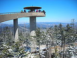
The western trail head, Clingman's Dome, on a snowy day.
-
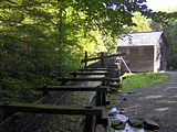
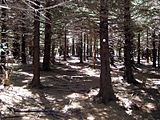
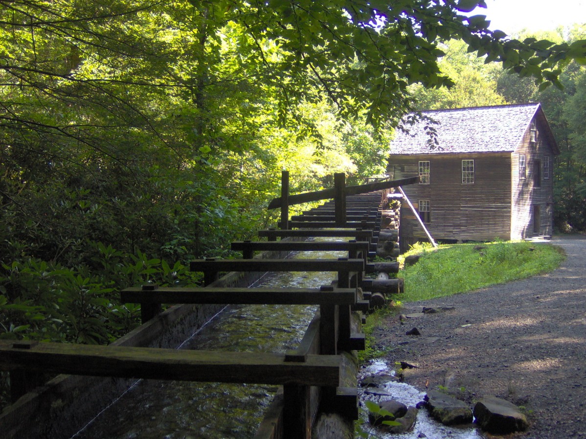
Mingus mill in the Great Smoky Mountains National Park.
-
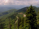
Waterrock Knob on the Blue Ridge Parkway.
-
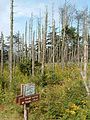
Near the Blue Ridge Parkway in Pisgah National Forest, the MST shares a short stretch with the Art Loeb Trail
-
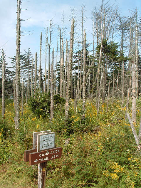
The MST follows the Camp Alice Trail through Mount Mitchell State Park.
-
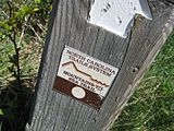
A MST sign post on the Blue Ridge Parkway.
-

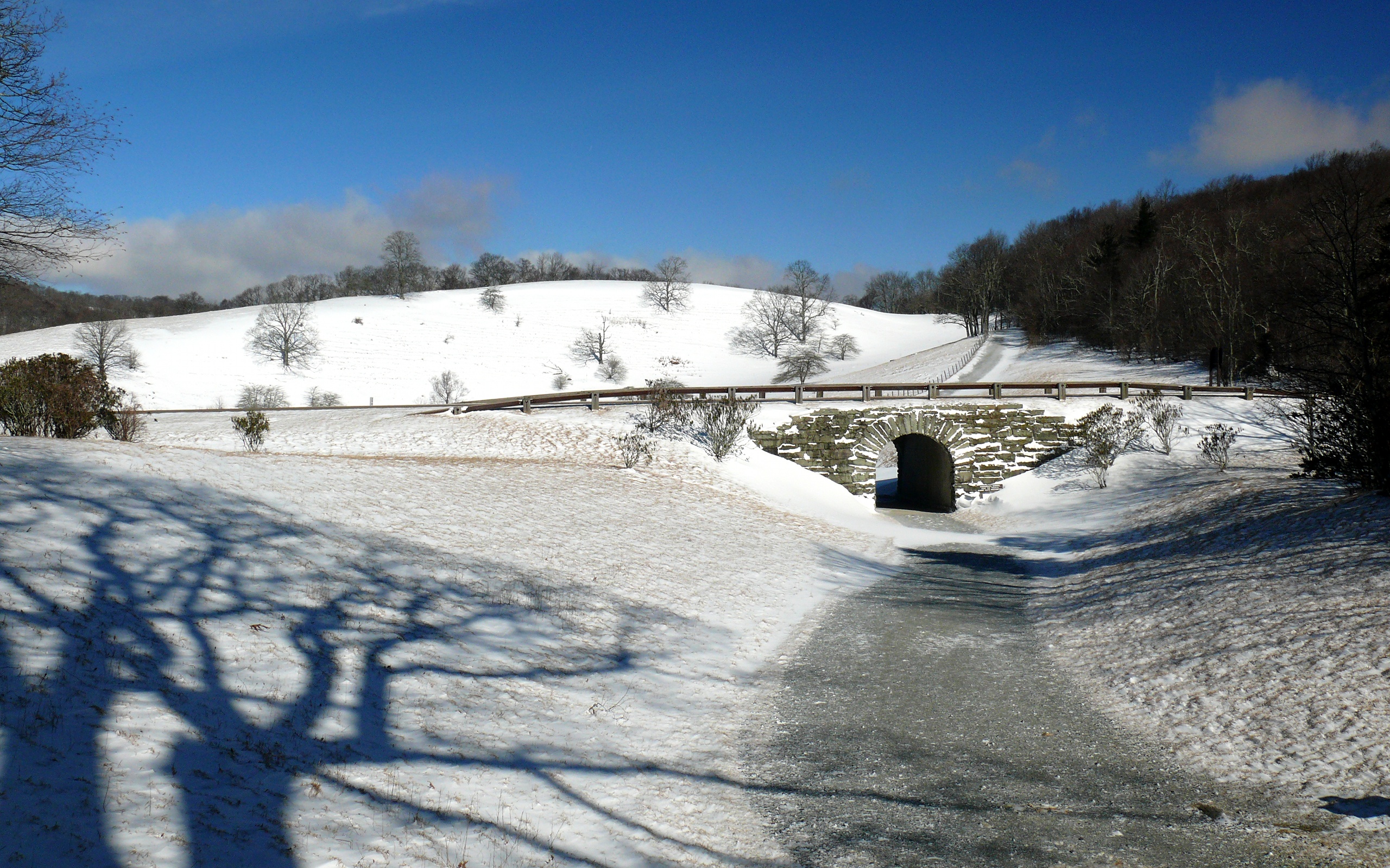
The MST crossing under a snowy Blue Ridge Parkway in Moses H. Cone Memorial Park.
-
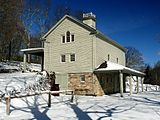
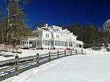
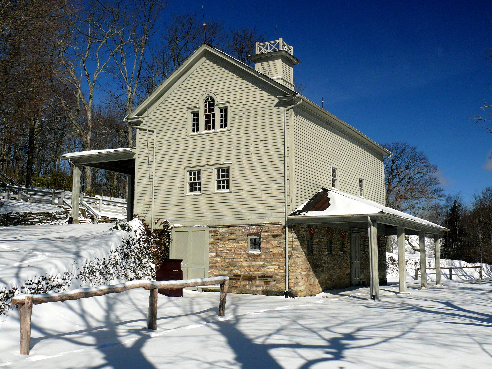
The carriage house at Moses H. Cone Memorial Park, which the trail passes by.
-
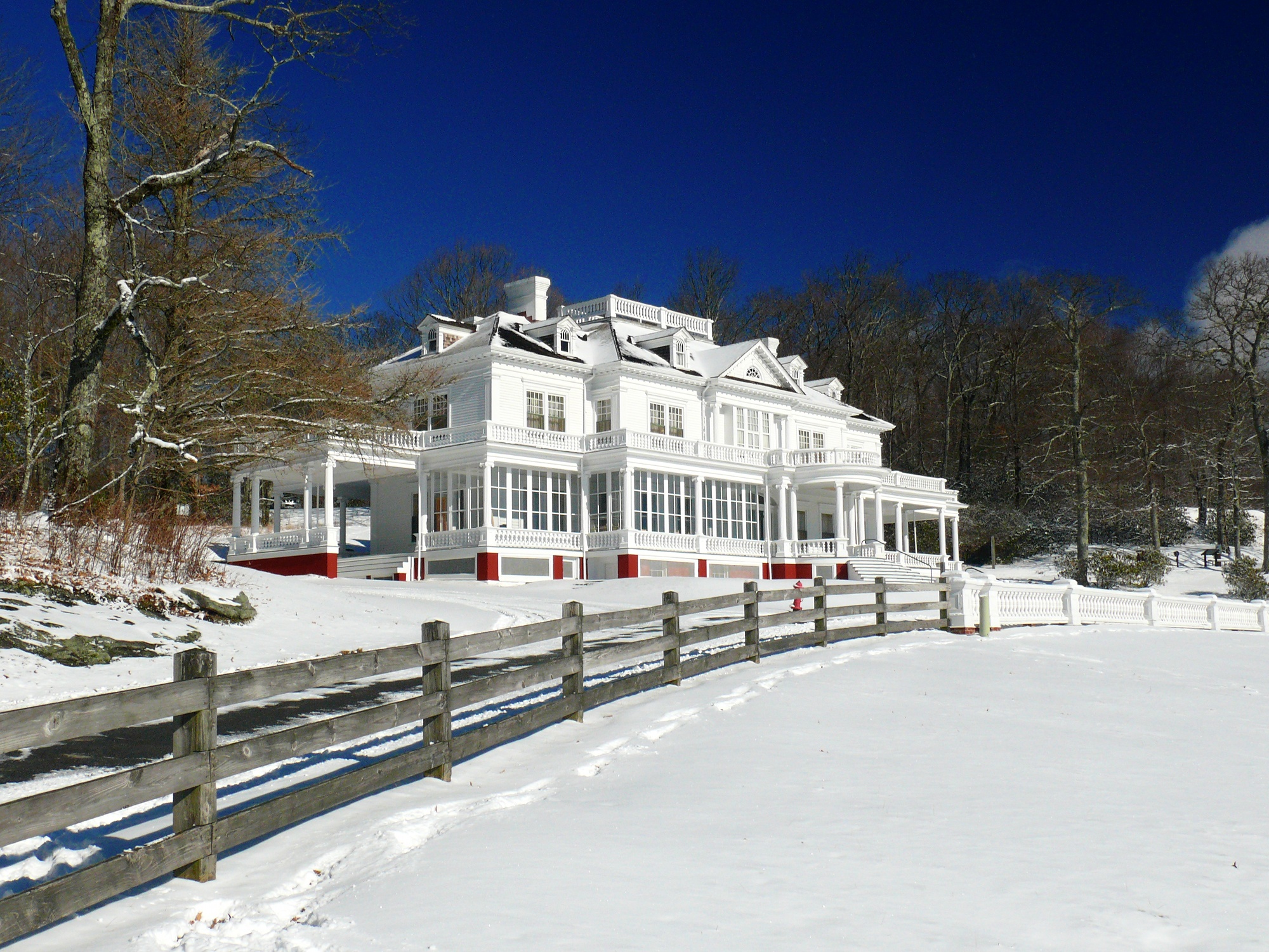
The trail switchbacks near Flat Top Manor at Moses H. Cone Memorial Park.
(The trail is not visible from this angle.) -
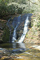
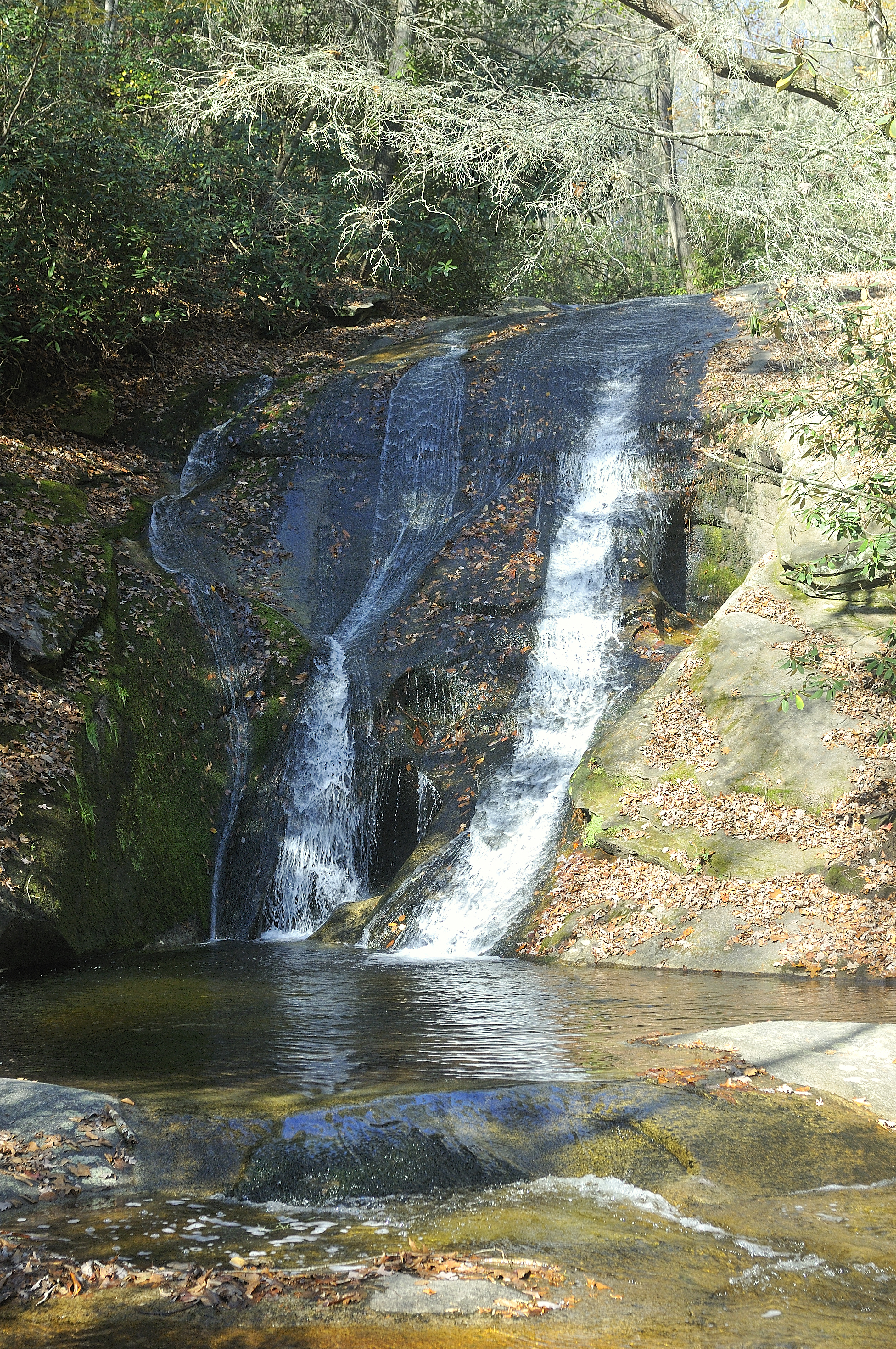
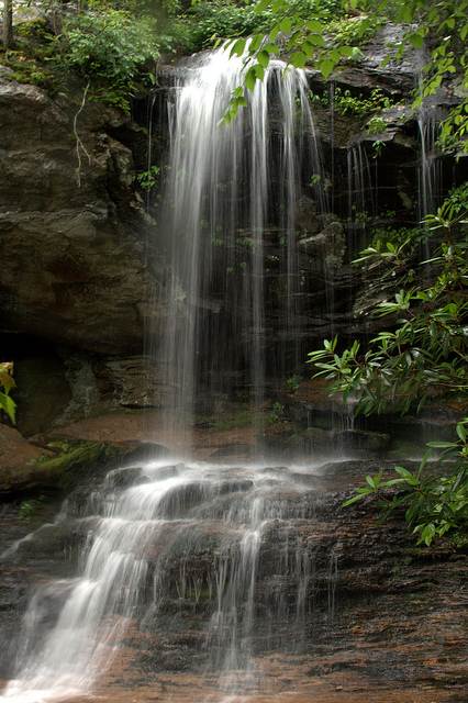
Widow Creek Falls in Stone Mountain State Park is a short spur walk off the trail.
-
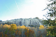
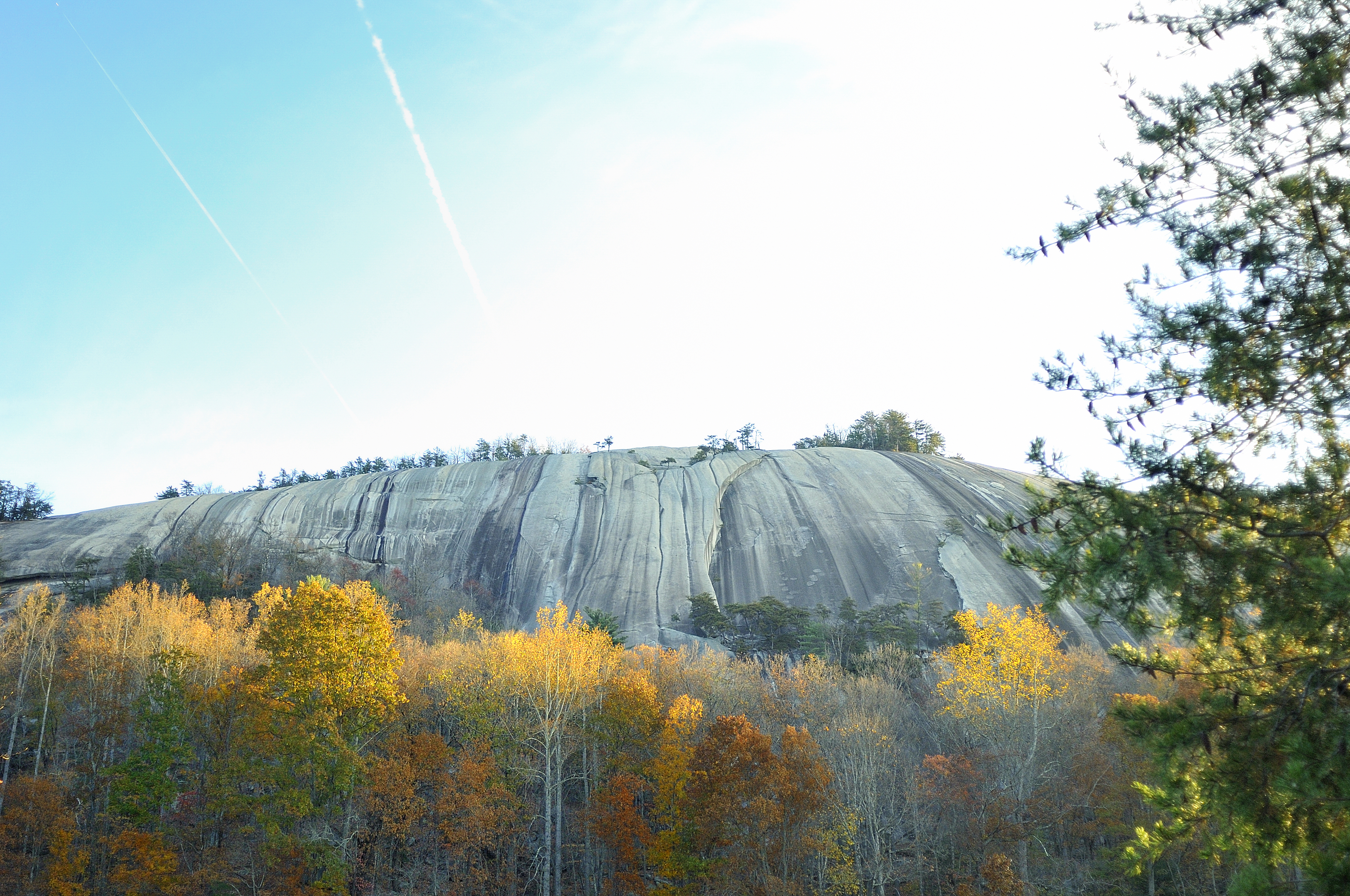
Stone Mountain of Stone Mountain State Park.
-
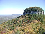
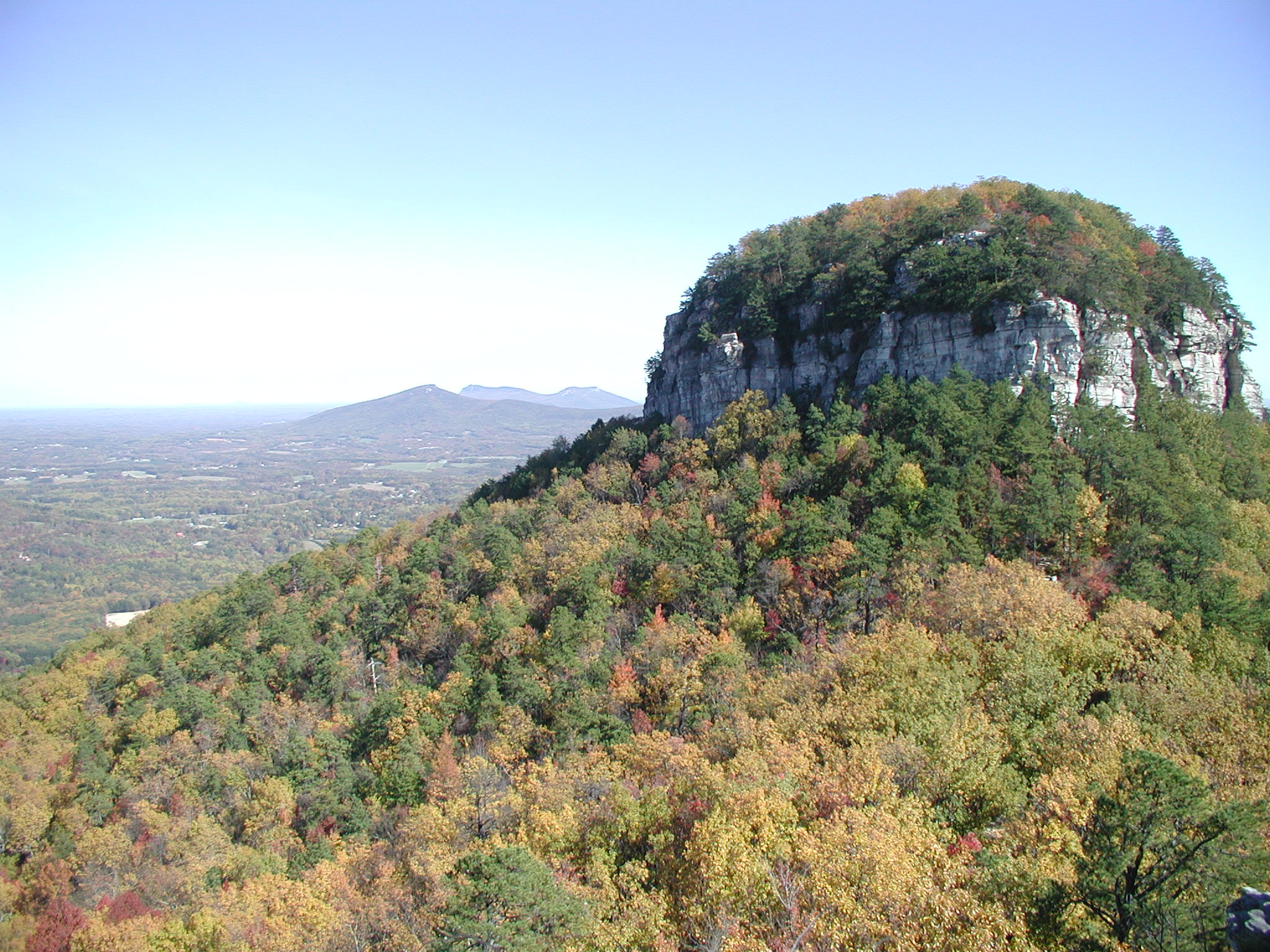
View from the Little Pinnacle at Pilot Mountain State Park. The MST follows the Sauratown Trail from the Pilot to the mountains seen in the distance.
-

Lower drop of Window Falls at Hanging Rock State Park.
-

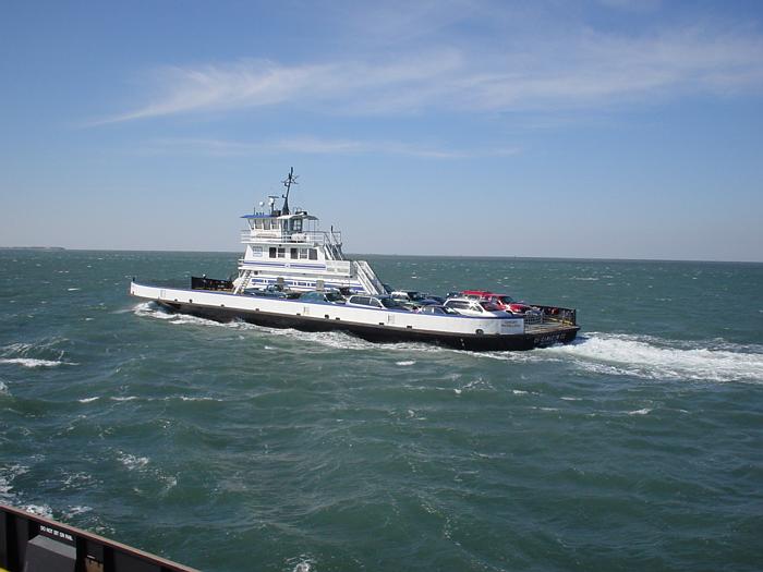
A ferry on the Hatteras – Ocracoke ferry route, which the MST utilizes.
-
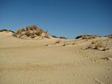
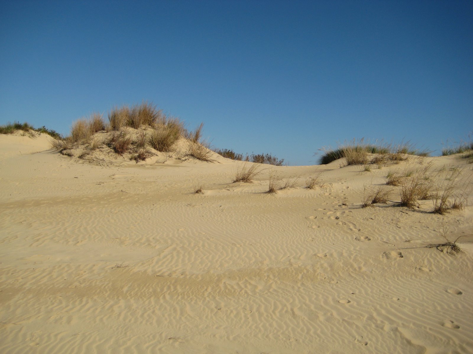
Jockey's Ridge State Park, the eastern trail head.
External links
- Friends of the Mountains to Sea Trail — Non-profit organization that maintains, builds and promotes the trail.
- North Carolina State Trails Program
- Session Law 2000-157 made the MST a state park.
- Shallow Ford Natural Area Website
American Tobacco • Appalachian • Art Loeb • Bartram • Benton MacKaye • Cape Fear River • Capital Area Greenway • Dunn-Erwin • East Coast Greenway • Eastern Continental • Foothills • Haw River • Mountains-to-Sea • Neusiok • Overmountain Victory • Sauratown • South Tar River • Tanawha • Uwharrie Trail

The Outer Banks of North Carolina Landforms Places Currituck County · Dare County · Hyde County · Carteret County
Carova Beach · Corolla · Duck · Southern Shores · Kitty Hawk · Kill Devil Hills · Nags Head · Manteo · Wanchese · Rodanthe · Waves · Salvo · Avon · Buxton · Frisco · Hatteras · Ocracoke · PortsmouthWaterways Lighthouses Protected areas Transportation History Piedmont Triad Location 
Cities Greensboro • Winston-Salem • High Point
Asheboro • Burlington • Clemmons • Eden • Graham • Kernersville • Lexington • Reidsville • ThomasvilleCounties Newspapers Greensboro News & Record • Winston-Salem Journal • High Point Enterprise • Burlington Times-News • Thomasville Times • Archdale-Trinity NewsHigher education Wake Forest University • Salem College • Winston-Salem State University • University of North Carolina School of the Arts • High Point University • Guilford College • University of North Carolina at Greensboro • Greensboro College • Bennett College • North Carolina Agricultural and Technical State University • Elon UniversityProtected areas Blue Ridge Parkway • Deep River State Trail • Guilford Courthouse National Military Park • Hanging Rock State Park • Haw River State Park • Mayo River State Park • Mountains-to-Sea Trail • Overmountain Victory National Historic Trail • Pilot Mountain State Park • Rendezvous Mountain Educational State Forest • Stone Mountain State Park • Uwharrie National Forest • Yadkin River State TrailTransportation I-40 • I-85 • I-73 • I-74 • Bus I-40 • Bus I-85 • US 29 • US 52 • US 64 • US 220 • US 311 • US 421 • Piedmont Triad International Airport • Greensboro Urban Loop • Winston-Salem BeltwayCategories:- Hiking trails in North Carolina
- Hiking trails in the Great Smoky Mountains National Park
- Long-distance trails in the United States
- Mountains-to-Sea Trail
- National Recreation Trails of the United States
- North Carolina state parks
- Protected areas established in 2000
- Croatan National Forest
- Nantahala National Forest
- Pisgah National Forest
- Blue Ridge Parkway
- North Carolina geography stubs
- United States trail stubs


Wikimedia Foundation. 2010.