- Great Craggy Mountains
-
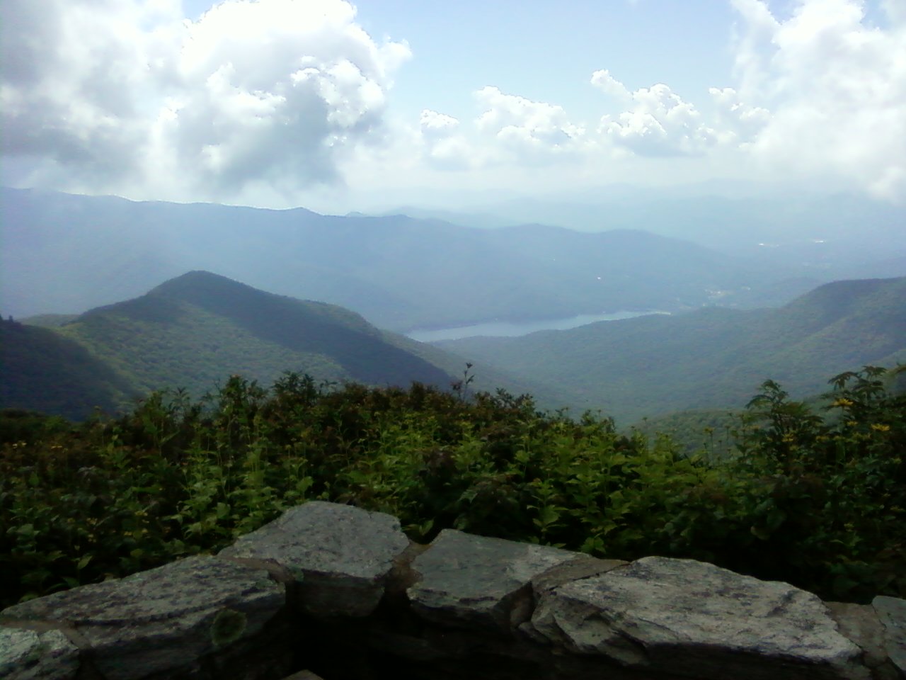
Great Craggy Mountains  View from atop Craggy Pinnacle overlooking Montreat and Black Mountain
Country United States State North Carolina Part of Blue Ridge Mountains Borders on Black Mountains Highest point Craggy Dome - elevation 6,105 ft (1,861 m) - coordinates 35°42′21″N 82°22′0″W / 35.70583°N 82.366667°W Orogeny Alleghenian The Great Craggy Mountains, commonly called the Craggies, are a mountain range in western North Carolina, United States. They are a subrange of the Blue Ridge Mountains and encompass an area of approx. 194 sq mi (503 km²). They are situated in Buncombe County, North Carolina, 14 miles northeast of Asheville. The Black Mountains lie to the northeast, opposite Balsam Gap.
The Blue Ridge Parkway runs along its crest. Craggy Gardens, an area of 16 km, is covered with purple rhododendrons in mid-June.
Contents
Habitat
The high slopes of the Great Craggies are dominated by heath bald with rhododendron and blueberry, and northern hardwood forest with beech, buckeye, mountain ash and red oak. The Craggies are in the Pisgah National Forest area.
Peaks
The highest point in the Great Craggy Mountains is Craggy Dome, which rises to an elevation of 6,105 feet (1,861 m).[1]
Peak Name Elevation Prominence Coordinates Easiest route Craggy Dome 6,105 feet (1,861 m) 1,000 feet (305 m) 35°42′21″N 82°22′00″W / 35.70583°N 82.3666667°W[2] Hike Bullhead Mountain 5,899 feet (1,798 m) 320 feet (98 m) 35°42′59″N 82°21′29″W / 35.71639°N 82.35806°W[3] Hike Craggy Pinnacle 5,817 feet (1,773 m) 233 feet (71 m) 35°42′12″N 82°22′40″W / 35.70333°N 82.37778°W[4] Trail Craggy Gardens 5,525 feet (1,684 m) 160 feet (49 m) 35°41′33″N 82°23′05″W / 35.6925°N 82.38472°W[5] Trail Locust Knob 5,429 feet (1,655 m) 35°43′41″N 82°21′02″W / 35.72806°N 82.35056°W[6] Hike Snowball Mountain 5,341 feet (1,628 m) 440 feet (134 m) 35°42′07″N 82°24′26″W / 35.70194°N 82.40722°W[7] Trail Bearpen Knob 5,266 feet (1,605 m) 48 feet (15 m) 35°41′58″N 82°23′38″W / 35.69944°N 82.39389°W[8] Hike Lane Pinnacle 5,194 feet (1,583 m) 590 feet (180 m) 35°40′52″N 82°25′18″W / 35.68111°N 82.42167°W[9] Hike Little Snowball Mountain 4,692 feet (1,430 m) 320 feet (98 m) 35°43′12″N 82°25′50″W / 35.72°N 82.43056°W[10] Trail Frosty Knob 4,236 feet (1,291 m) 1,126 feet (343 m) 35°44′31″N 82°28′45″W / 35.74194°N 82.47917°W[11] Hike Beaucatcher Mountain 2,694 feet (821 m) 35°36′19″N 82°32′17″W / 35.60528°N 82.53806°W[12] Auto Road Sources
- ^ "Great Craggy Mountains." Merriam-Webster's Geographical Dictionary, 3rd ed. 2001. (ISBN 0-87779-546-0) Springfield, MA: Merriam-Webster Inc., p. 442.
- ^ "Craggy Dome". Geographic Names Information System, U.S. Geological Survey. http://geonames.usgs.gov/pls/gnispublic/f?p=gnispq:3:::NO::P3_FID:1019839. Retrieved 2011-09-22.
- ^ "Bullhead Mountain". Geographic Names Information System, U.S. Geological Survey. http://geonames.usgs.gov/pls/gnispublic/f?p=gnispq:3:::NO::P3_FID:1019400. Retrieved 2011-09-22.
- ^ "Craggy Pinnacle". Geographic Names Information System, U.S. Geological Survey. http://geonames.usgs.gov/pls/gnispublic/f?p=gnispq:3:::NO::P3_FID:1019841. Retrieved 2011-09-22.
- ^ "Craggy Gardens". Geographic Names Information System, U.S. Geological Survey. http://geonames.usgs.gov/pls/gnispublic/f?p=gnispq:3:::NO::P3_FID:1010554. Retrieved 2011-09-22.
- ^ "Locust Knob". Geographic Names Information System, U.S. Geological Survey. http://geonames.usgs.gov/pls/gnispublic/f?p=gnispq:3:::NO::P3_FID:1021257. Retrieved 2011-09-22.
- ^ "Snowball Mountain". Geographic Names Information System, U.S. Geological Survey. http://geonames.usgs.gov/pls/gnispublic/f?p=gnispq:3:::NO::P3_FID:1022690. Retrieved 2011-09-22.
- ^ "Bearpen Knob". Geographic Names Information System, U.S. Geological Survey. http://geonames.usgs.gov/pls/gnispublic/f?p=gnispq:3:::NO::P3_FID:1019010. Retrieved 2011-09-22.
- ^ "Lane Pinnacle". Geographic Names Information System, U.S. Geological Survey. http://geonames.usgs.gov/pls/gnispublic/f?p=gnispq:3:::NO::P3_FID:1012677. Retrieved 2011-09-22.
- ^ "Little Snowball Mountain". Geographic Names Information System, U.S. Geological Survey. http://geonames.usgs.gov/pls/gnispublic/f?p=gnispq:3:::NO::P3_FID:1021240. Retrieved 2011-09-22.
- ^ "Frosty Knob". Geographic Names Information System, U.S. Geological Survey. http://geonames.usgs.gov/pls/gnispublic/f?p=gnispq:3:::NO::P3_FID:1011401. Retrieved 2011-09-22.
- ^ "Beaucatcher Mountain". Geographic Names Information System, U.S. Geological Survey. http://geonames.usgs.gov/pls/gnispublic/f?p=gnispq:3:::NO::P3_FID:1019023. Retrieved 2011-09-22.
- "Great Craggy Mountains". Peakbagger.com. http://www.peakbagger.com/range.aspx?rid=16441.
- Great Craggy Mountains description
External links
Categories:- Southern Sixers
- Protected areas of Buncombe County, North Carolina
- Blue Ridge Mountains
- Blue Ridge Parkway
- Mountains-to-Sea Trail
Wikimedia Foundation. 2010.