- Mount Mitchell State Park
-
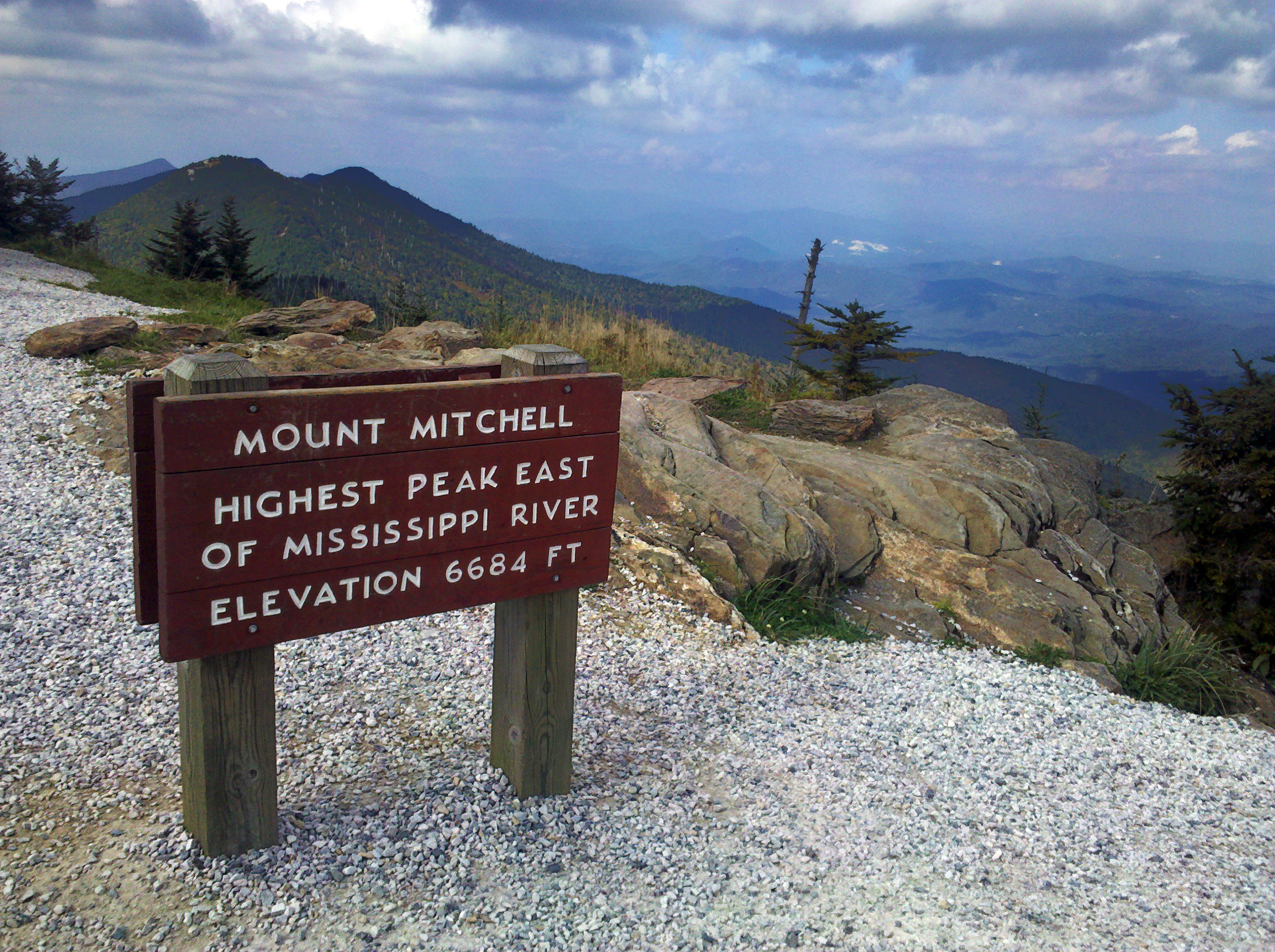
Mount Mitchell State Park North Carolina State Park Natural Monument (IUCN III) 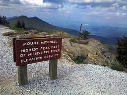 A view from the summit of Mount Mitchell
Named for: Mount Mitchell Country United States State North Carolina County Yancey Location - coordinates 35°46′13″N 82°15′48″W / 35.77028°N 82.26333°WCoordinates: 35°46′13″N 82°15′48″W / 35.77028°N 82.26333°W - elevation 6,366 ft (1,940.4 m) Area 1,946 acres (787.5 ha) Highest point Mount Mitchell - coordinates 35°45′53″N 82°15′55″W / 35.76472°N 82.26528°W - elevation 6,684 ft (2,037 m) Founded 1915 Managed by North Carolina Department of Environment and Natural Resources 
 Location of Mount Mitchell State Park in North Carolina
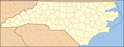
Website : Mount Mitchell State Park Mount Mitchell State Park is a North Carolina state park in Yancey County, North Carolina in the United States. Established in 1915 by the state legislature, it became the first state park of North Carolina. By doing so, it also established the North Carolina State Parks System within the same bill.
Located off of NC 128 and the Blue Ridge Parkway near Burnsville, North Carolina, it includes the peak of Mount Mitchell, the highest peak east of the Mississippi River. From the parking lot you can take a short hike to the summit which includes an observation tower and the grave of Elisha Mitchell, the professor who first noted the mountain's height. The old observation tower was torn down in Early October 2006. The trail leading to the summit has been paved, and a new observation platform was constructed and opened to the public in January 2009. The summit also features an exhibit hall with information about the mountain's natural, cultural and historical heritage.
In addition to Mount Mitchell itself, the park encompasses several other peaks which top out at over 6000' in elevation, including Mount Hallback, Mount Craig (just 37 feet (11 m) shy of Mount Mitchell in Elevation and the second highest peak east of the Mississippi River), Big Tom and Balsam Cone. Trails lead to all these summits save Mount Hallback, and their exploration takes visitors away from the crowds on Mount Mitchell but to places similarly spectacular. About 8 miles (13 km) of trails exist within the park in all.
Another popular destination reachable by trail within the park is Camp Alice, at an elevation of 5800' south of the summit of Mount Mitchell. This historic site is the location of a logging and, later, Civilian Conservation Corps tourist camp at the terminus of the old Mount Mitchell toll road. Lower Creek flows across the main trail at this point and it is one of the highest elevation perennial streams in the Appalachians, flowing through the Spruce-Fir forest. Openings here in the forest surrounded by evergreens resemble such openings near treeline in higher mountain ranges.
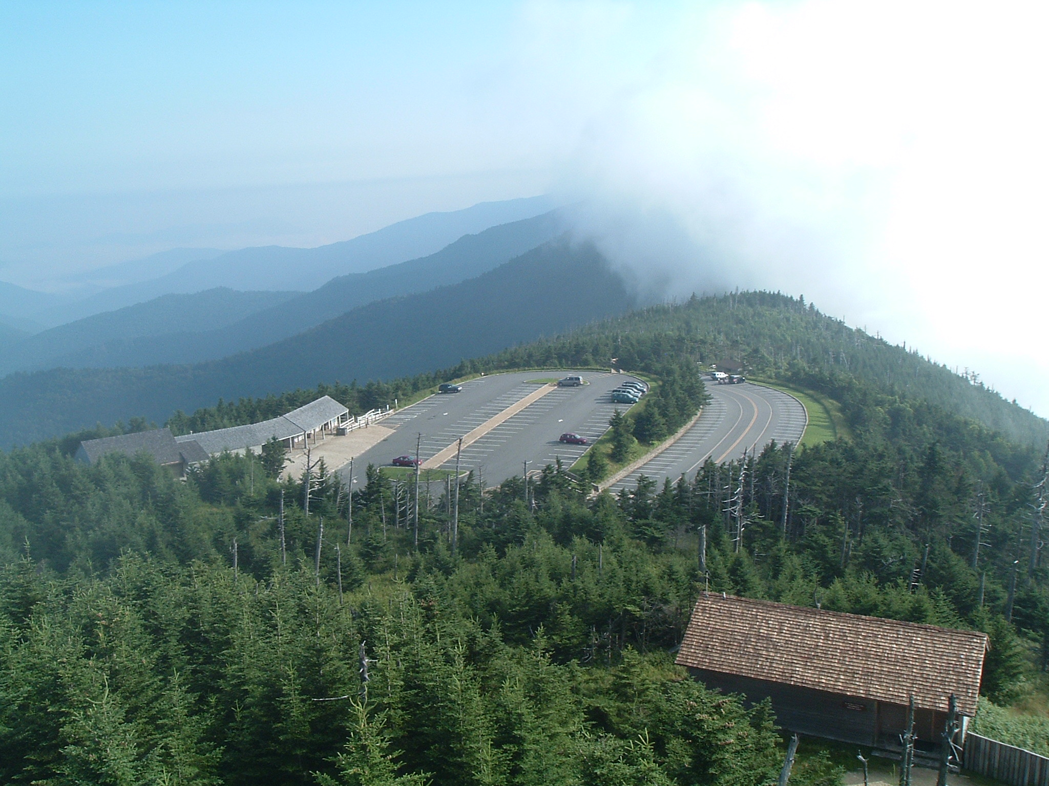
 A view from the observation tower.
The park also serves as the finish line for The Assault on Mount Mitchell and the midpoint for the Mount Mitchell Challenge ultramarathon.
References
See also
- Mount Mitchell
External links
- Park home page
- Mount Mitchell Challenge home page
- Detailed information about the park
- Hiking trail info for Mt. Mitchell
Categories:- North Carolina state parks
- Blue Ridge Mountains
- Protected areas of Yancey County, North Carolina
- Southern Sixers
- Protected areas established in 1915
- Museums in Yancey County, North Carolina
- Natural history museums in North Carolina
- Open air museums in the United States
- Civilian Conservation Corps in North Carolina
- Mountains-to-Sea Trail

Wikimedia Foundation. 2010.