- Corolla, North Carolina
-
 Location of Corolla, North Carolina
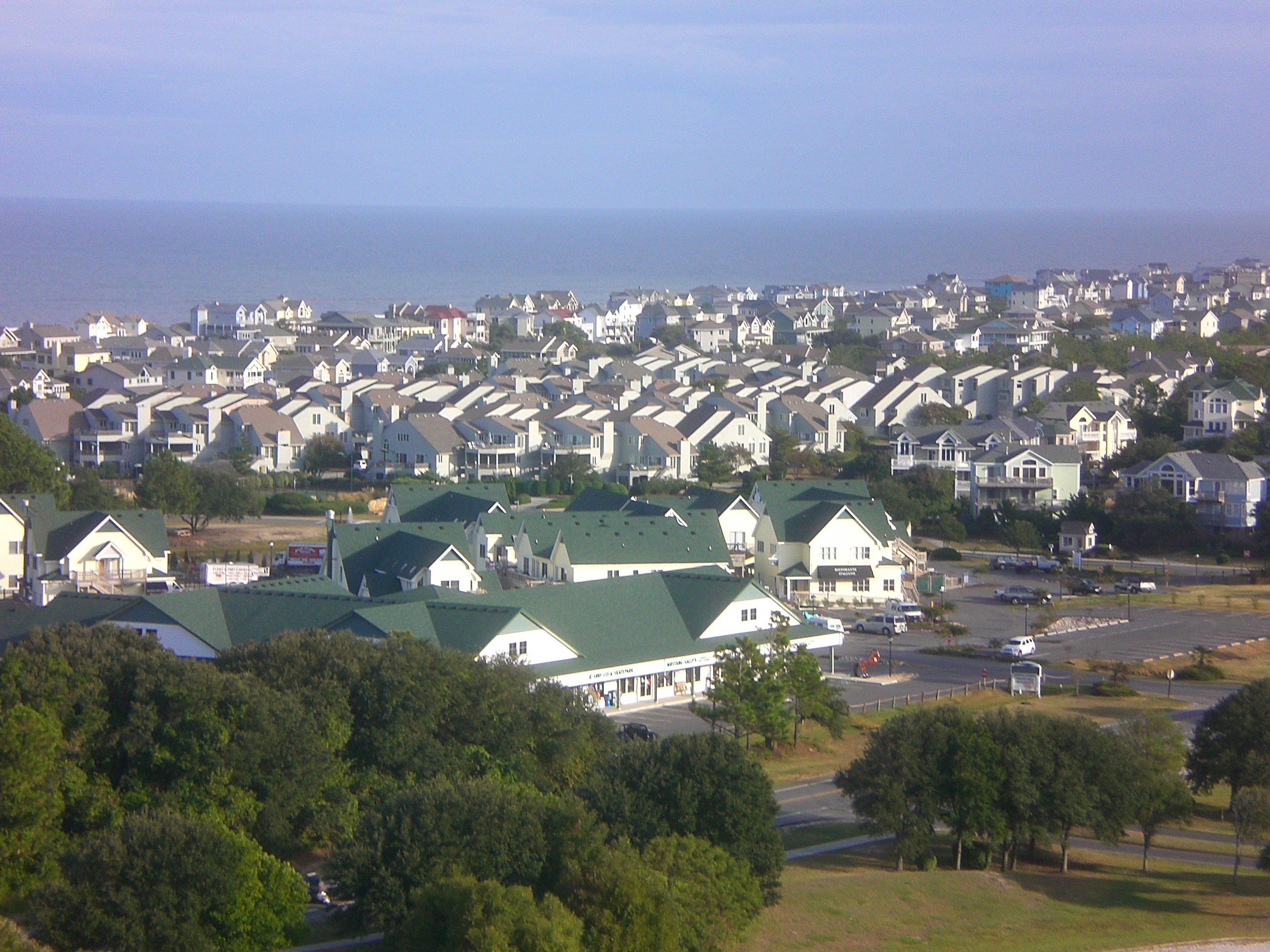
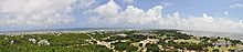 Corolla as viewed from the Currituck Lighthouse
Corolla (pronunciation: /kəˈrɑːlə/) is an unincorporated community located in Poplar Branch township,[1] Currituck County, North Carolina along the northern Outer Banks. It has a permanent population of approximately 500 people; during the summer vacation season, the population surges into the thousands. Corolla is home to the Currituck Beach Lighthouse, one of the seven North Carolina coastal lighthouses.
Corolla is home to about 119 feral Banker horses. They are located on a 12,000-acre (49 km²) animal sanctuary situated north of the populated areas of Corolla. The Corolla Wild Horse Fund is a public charity whose mission is to protect and preserve the herd.
Contents
Pronunciation
The usual pronunciation of local residents stresses the second syllable like all (Kuh-RAH-Luh, /kəˈrɑːlə/), however many outsiders pronounce Corolla the same as they pronounce the name of the car, the Toyota Corolla, where the second syllable sounds like roe (Kuh-ROE-Luh, /kəˈroʊlə/).
Parks and nature preserves
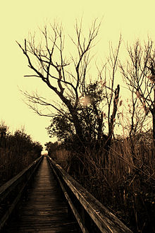
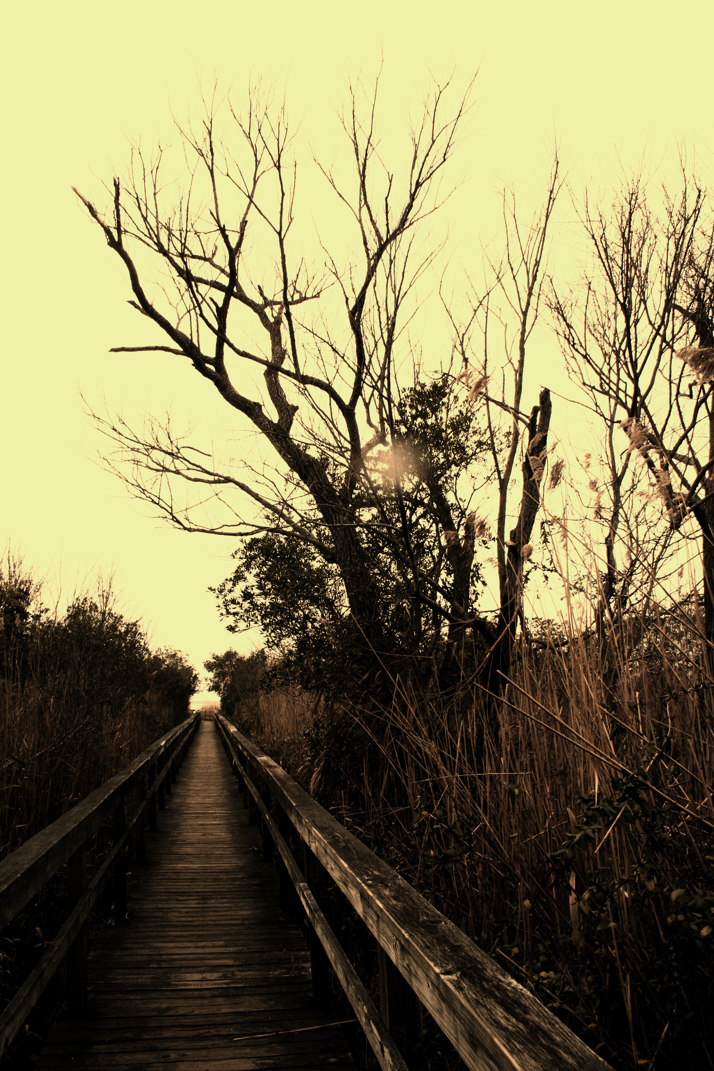
Corolla is home to the Outer Banks Center for Wildlife Education, located in Currituck Heritage Park.[2] The park has a boardwalk through wetlands. It is listed as an eBird hotspot, with at least 80 species recorded in the park.[3] Less than a mile north of Corolla is the Currituck Banks North Carolina National Estuarine Research Reserve.[4]
History
 Corolla, as viewed from the Currituck Beach Lighthouse
The community of Corolla began as a European development on American Indian hunting grounds. Tribes including the Chowanoke and Poteskeet hunted along the barrier reef.[citation needed]
The European-American town of Corolla was first called Jones Hill, after an early settler. It was also known as Whalehead or Currituck Beach. Early settlers made a living from fishing and hunting, as well as from salvage from shipwrecks and serving as guides to hunters.
Construction of the Currituck Beach Lighthouse resulted in a stabilization of the economy with a new influx of jobs.
Currituck was derived from an American Indian term, Carotank, meaning land of the wild geese. On the Atlantic migratory flyway, the area at the time had a large wild geese population. Overhunting in the late 19th century caused numbers to severely drop.
The town officially took the name Corolla in 1895 when a post office opened in the community. The name was chosen to refer to the botanic term for the petals of a flower.
 Banker horses of Corolla
Development of Currituck's Northern Outer Banks began in 1967 when investors from Sandbridge, Virginia, put together an investment group to purchase undeveloped land. The first subdivision plotted was Carova with 1,993 lots. The lots were originally priced in the early 1970's at $8,000; as of 2006, some of these lots are worth up to $500,000.[citation needed]
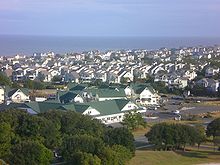
 Currituck Heritage Park which houses the Outer Banks Center for Wildlife Education
The investors planned for a road to come through from Virginia Beach, Virginia, to allow access to the lots; however, these plans were abandoned in 1973 when the Back Bay National Wildlife Refuge south of Sandbridge was closed to all vehicular traffic, except by permit. Development pushed south through the 1970s, creating well over 1,000 additional lots in several subdivisions. In 1984 the residents of Corolla succeeded in their attempts to gain a public access road from the south. The state began paving the extension of NC-12 toward the north.
References
- ^ Map of Currituck @ wikimedia.org
- ^ [1]
- ^ eBird. 2010. eBird: An online database of bird distribution and abundance (web application). Version 2. eBird, Ithaca, New York. Available: http://www.ebird.org. (Accessed: Jan. 24, 2010).
- ^ North Carolina Coastal Reserve: Currituck Banks NC Coastal Reserve and National Estuarine Research Reserve, Retrieved Jan. 24, 2010.
External links
- Corolla Beach Stories and Notes
- Corolla Guide - A History of Corolla on the Outer Banks of North Carolina
- Outer Banks Center for Wildlife Education
Coordinates: 36°22′53″N 75°49′59″W / 36.38139°N 75.83306°W
Municipalities and communities of Currituck County, North Carolina Unincorporated
communitiesBarco | Carova Beach | Coinjock | Corolla | Currituck | Grandy | Gregory | Harbinger | Knotts Island | Jarvisburg | Mamie | Maple | Moyock | Point Harbor | Poplar Beach | Poplar Branch | Powells Point | Sanderling | Shawboro | Sligo | Spot | Waterlily

The Outer Banks of North Carolina Landforms Places Currituck County · Dare County · Hyde County · Carteret County
Carova Beach · Corolla · Duck · Southern Shores · Kitty Hawk · Kill Devil Hills · Nags Head · Manteo · Wanchese · Rodanthe · Waves · Salvo · Avon · Buxton · Frisco · Hatteras · Ocracoke · PortsmouthWaterways Lighthouses Protected areas Transportation History Categories:- Populated places in Currituck County, North Carolina
- Beaches of North Carolina
- Outer Banks
- Unincorporated communities in North Carolina
- Populated places established in 1895


Wikimedia Foundation. 2010.