- Mount Haku
-
For other places of the same name, see Haku.
Mount Haku 白山 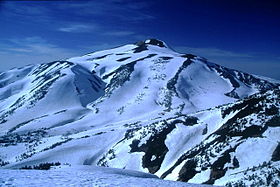
Mount Haku from AburazakanokashiraElevation 2,702.2 m (8,865 ft) [1] Prominence 1,897 m (6,224 ft) [1] Listing • List of mountains and hills of Japan by height
• 100 Famous Japanese Mountains
• List of volcanoes in Japan
• UltraTranslation White Mountain (Japanese) Pronunciation [hakɯsaɴ] Location Location in Japan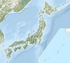
 Mount Haku
Location Gifu Prefecture
Fukui Prefecture
Ishikawa Prefecture
 Japan
JapanRange Ryōhaku Mountains Coordinates 36°09′18″N 136°46′17″E / 36.155°N 136.77139°ECoordinates: 36°09′18″N 136°46′17″E / 36.155°N 136.77139°E[1] Topo map Geographical Survey Institute, 25000:1 白山, 50000:1 白山 Geology Type Stratovolcano (active) Age of rock 300,000–400,000 years Last eruption 1659 Climbing First ascent Taichō in 717 Mount Haku (白山 Haku-san), or Mount Hakusan, is a potentially active volcano. The stratovolcano is located on the borders of Gifu, Fukui and Ishikawa prefectures in Japan. It is thought to have first been active 300,000 to 400,000 years ago, with the most recent eruption occurring in 1659. Along with Mount Tate and Mount Fuji, it is one of Japan's "Three Holy Mountains" (三霊山 Sanreizan).[2]
Contents
Outline
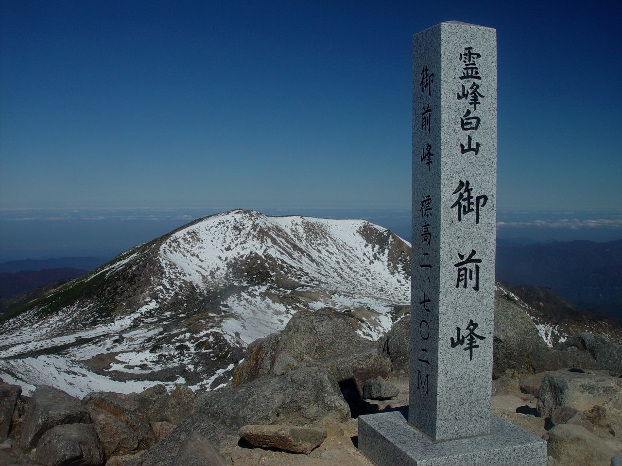
The mountain's tallest peak, Gozengamine (御前峰), is the one that gives the mountain its height of 2,702 m (8,865 ft). Along with Kengamine (剣ヶ峰), which is 2,677 m (8,783 ft), and Ōnanjimine (大汝峰), which is 2,648 m (8,688 ft), the three peaks are considered "Mount Haku's Three Peaks" (白山三峰 Hakusan Sanmine). Mount Bessan and Mount Sannomine are sometimes included and called "Mount Haku's Five Peaks."
Because it is the highest mountain in the Hokuriku region, even after the surrounding mountains have lost their snow, Mount Haku still appears white, which is one explanation for the mountain's name, which means "white mountain." It is also the westernmost mountain in Japan that is over 2,000 m (6,562 ft) in height.
History and culture
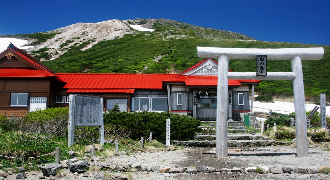
Taichō was the first to climb Mount Haku in 717. For hundreds of years, people have come to Haku for prayers (白山信仰 Hakusan Shinkō). A branch shrine of Shirayama Hime Shrine, which served as the supreme shrine for Kaga Province, is on the mountain. The Shirayama Hime Shrine is the main shrine (総本社 sō-honsha) of approximately 2,000 Hakusan shrines (白山神社 Hakusan jinja) in Japan. In 1980 an area of 48,000 ha was designated a UNESCO Man and the Biosphere Reserve.[3]
Nature
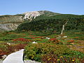
Mount Haku was designated as a quasi-national park in 1955. It became a national park in 1962[2] and was renamed Hakusan National Park. Because the central part of the mountain has much precipitous terrain, there are very few roads and, as a result, little human intrusion into the area. Also limiting human intrusion is the designation of the park as a Wildlife Protection Area, covering over 38,061 ha. The park stretches beyond the mountain's borders into Toyama Prefecture, also.[2]
Geological features
The area surrounding Mount Haku is one of the few areas in Japan that contains outcroppings from the Jurassic period of the Mesozoic era. Many of Japan's typical examples of dinosaur fossils were found in this area. One of the major rock outcrops is in the Kuwashima area and is known as the "Kuwashima Fossil Wall" (桑島化石壁 Kuwashima Kasekikabe).
Because the mountain is a dormant volcano, it is also well-known for its many onsen.
Plant life
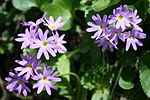
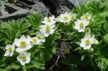
Mount Haku is known for its diverse plant life. When hiking up the Sabō Trail, after passing the Jinnosuke Lodge, various types of alpine plants can be found, including the chocolate lily, which is Ishikawa's prefectural plant.
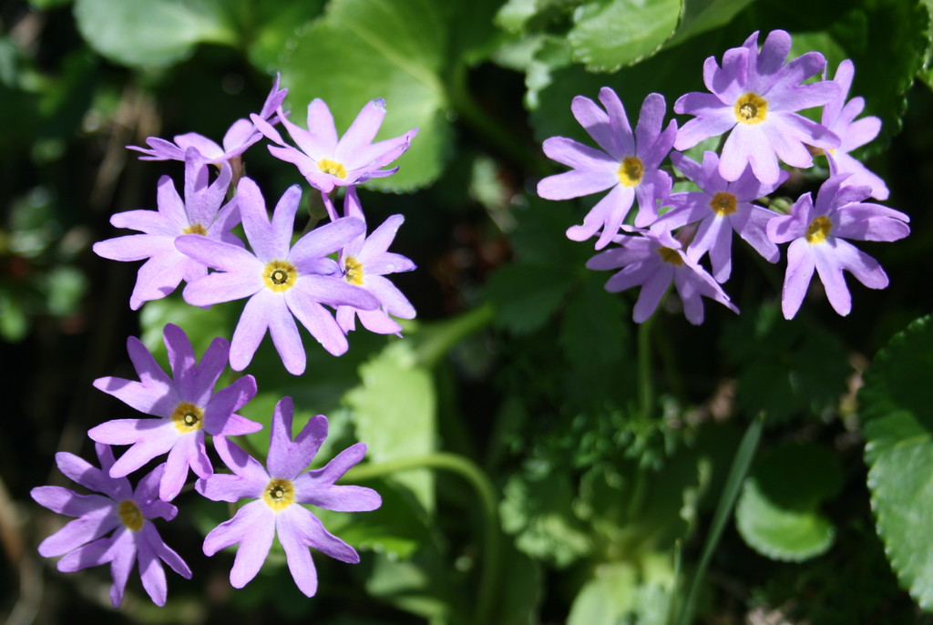
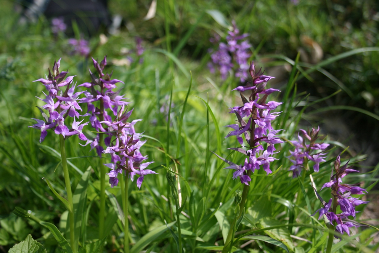
There are many alpine plants which have Hakusan in their name. These plants include: Primula cuneifolia (Hakusan Kozakura), Anemone narcissiflora (Hakusan Ichige), Dactylorhiza (Hakusan Chidori), Geranium yesoemse (Hakusan Fuuro) and Rhododendron brachycarpum (Hakusan Shakunage). These plants can be found on many mountains throughout Japan, but they were first discovered and named along the older hiking trails leading to Hakusan Shrine.
Chocolate lily
(Kuro Yuri)Primula cuneifolia
(Hakusan Kozakura)Anemone narcissiflora
(Hakusan Ichige)Dactylorhiza aristata
(Hakusan Chidori)

Animals
The Golden Eagle, Ishikawa's prefectural bird, lives on the slopes of Mount Haku. The Rock Ptarmigan, Gifu's prefectural bird,[4] used to live on the slopes as well; however, during the Meiji period, the entire population of Ptarmigan on the mountain once disappeared, however sightings of the grouse have recently been recorded by local residents.
Hiking trails
The three most used hiking trails are the Kankō Trail (観光新道 Kankō Shinmichi), the Sabō Trail (砂防新道 Sabō Shinmichi) and the Hirase Trail (平瀬道 Hirase-dō). Both the Kankō Trail and the Sabō trail originate in the city of Hakusan, Ishikawa Prefecture, but the Hirase Trail starts from the Ōshirakawa Dam (大白川ダム) in Gifu Prefecture.
Because the area is protected as a national park, very few trails have been made on the mountain. Though the trails listed above are easy enough to hike up and down in one day, other trails can take two or three days because of the uncleared trails and rough terrain.
Gallery
-

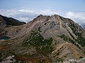
Top of Gozengamine (Mount Haku) and Ōnanjimine
-
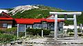
Hakusan Shrine at Murodo and Gozengamine
-

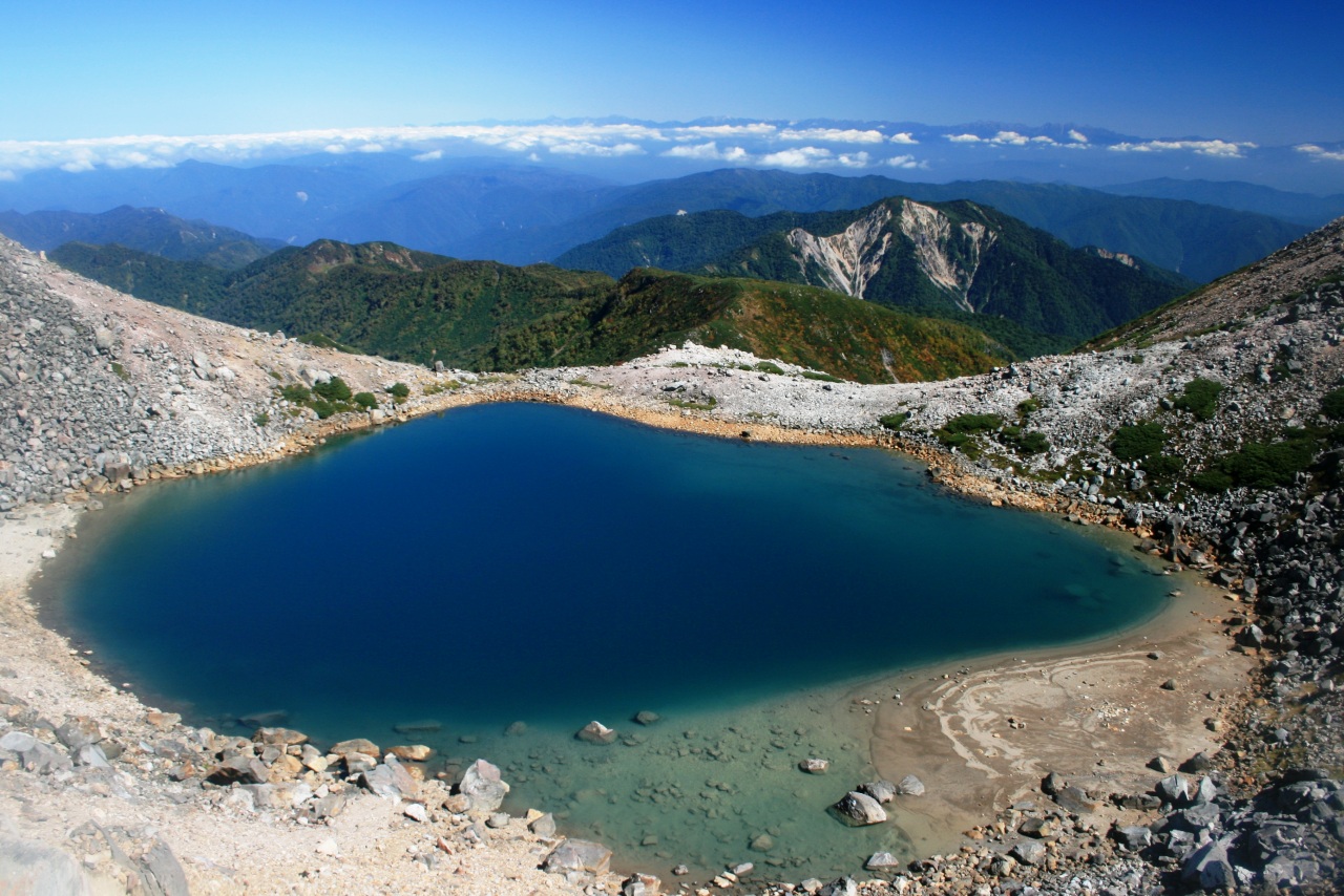
Volcanic crater (Midoriga-ike)
-
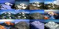
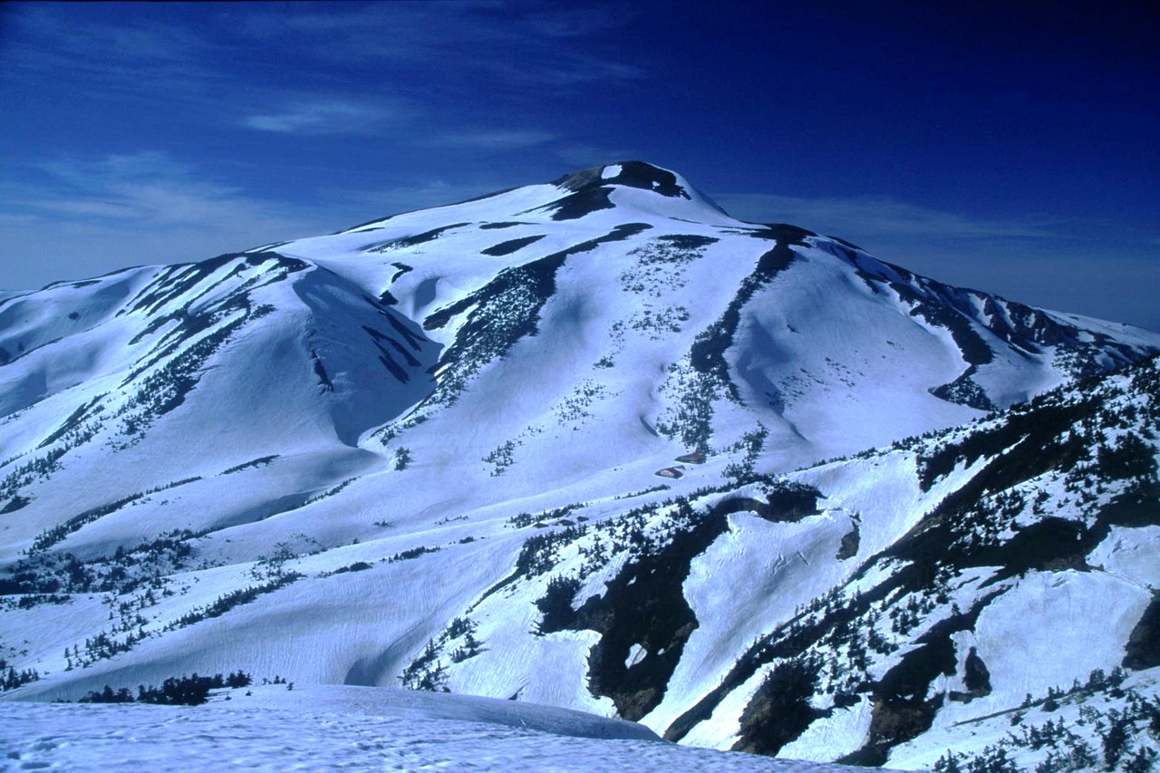
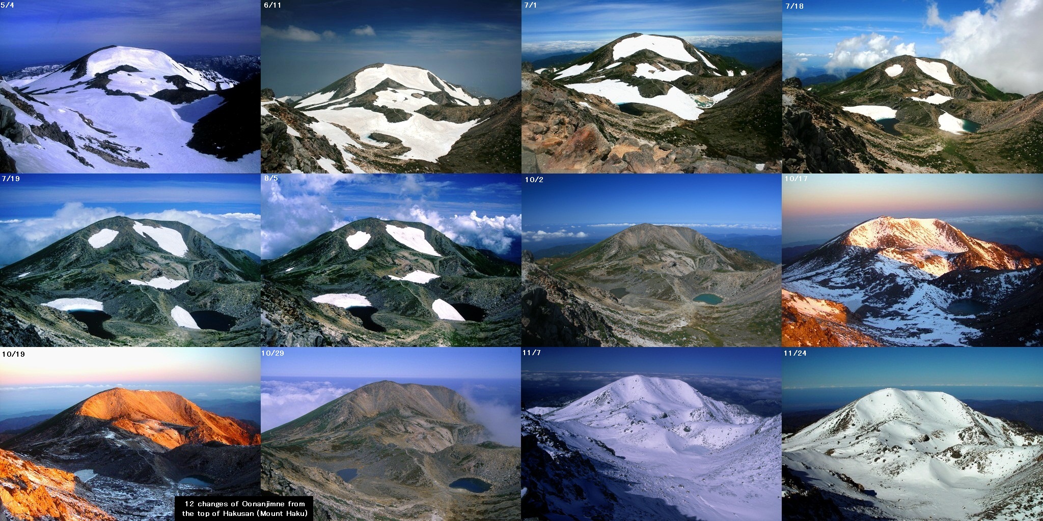
Mount Haku in each season
-
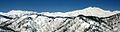
Mount Haku from Midagahara
-
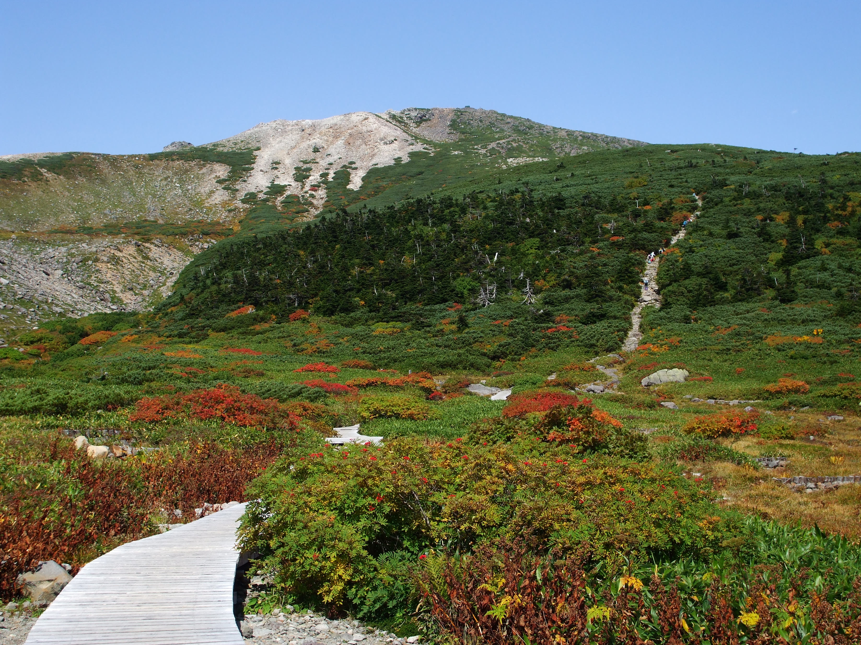
Kengamine Peak from Gozengamine Peak
-
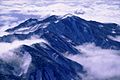
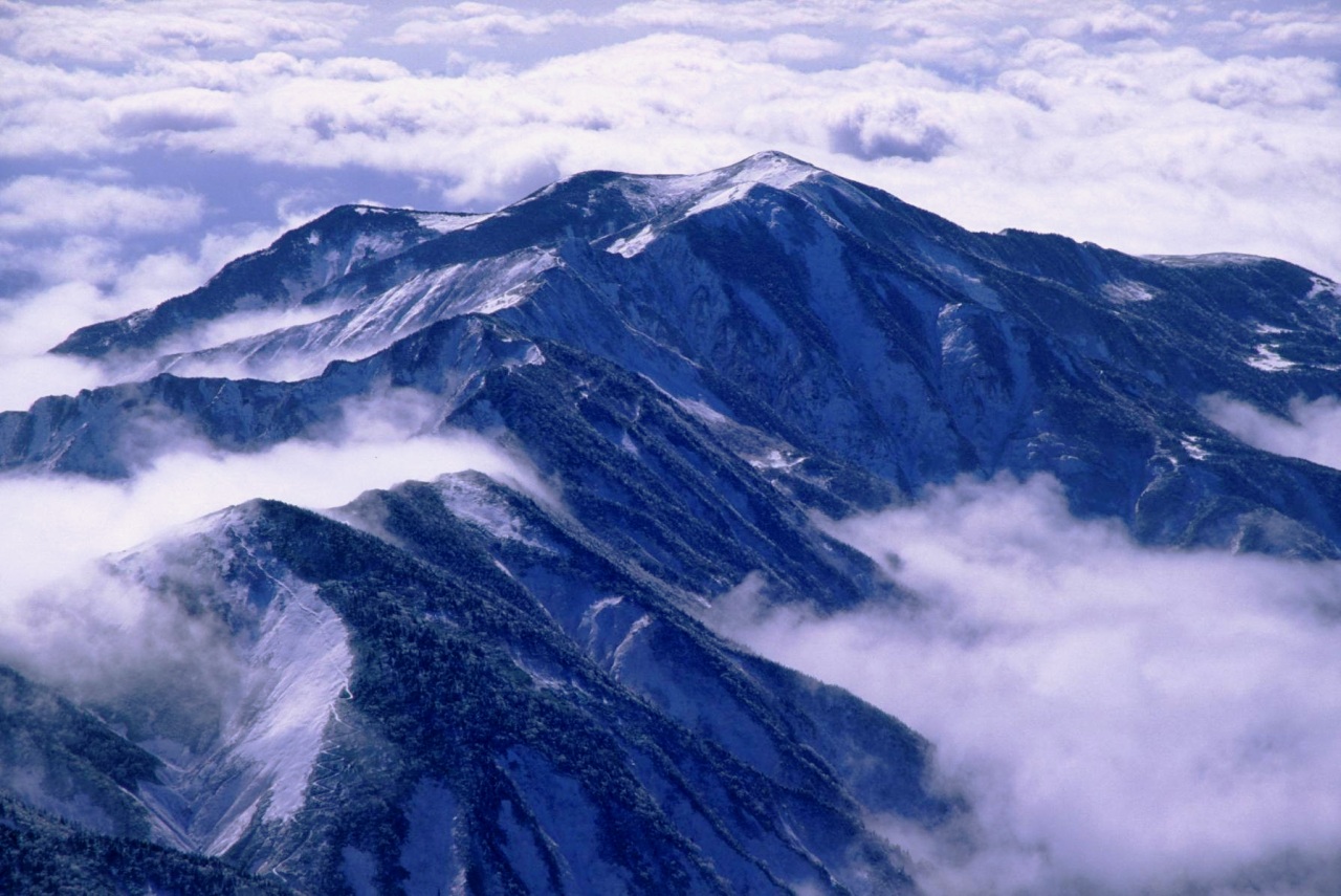
Mount Haku from east of Mount Hideri
-
Mount Bessan from the top of Gozengamine
See also
References
- ^ a b c http://www.peaklist.org/WWlists/ultras/japan.html
- ^ a b c UNESCO Biosphere Reserve Information: Mount Hakusan. UNESCO. Accessed May 16, 2008.
- ^ "Biosphere Reserve Information - Mount Hakusan". UNESCO. http://www.unesco.org/mabdb/br/brdir/directory/biores.asp?code=JPN+01&mode=all. Retrieved 29 April 2011.
- ^ A Statistical Guide to Gifu Prefecture 2007. Gifu Prefecture. Accessed May 16, 2008.
External links
Categories:- Mountains of Gifu Prefecture
- Mountains of Ishikawa Prefecture
- Mountains of Fukui Prefecture
- Visitor attractions in Gifu Prefecture
- Visitor attractions in Ishikawa Prefecture
- Visitor attractions in Fukui Prefecture
- Biosphere reserves of Japan
- Volcanoes of Honshū
- Pleistocene volcanoes
- Potentially active volcanoes
-


Wikimedia Foundation. 2010.