Mount Ōdaigahara

Mount Ōdaigahara
Ōdaigahara-san
大台ケ原

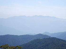
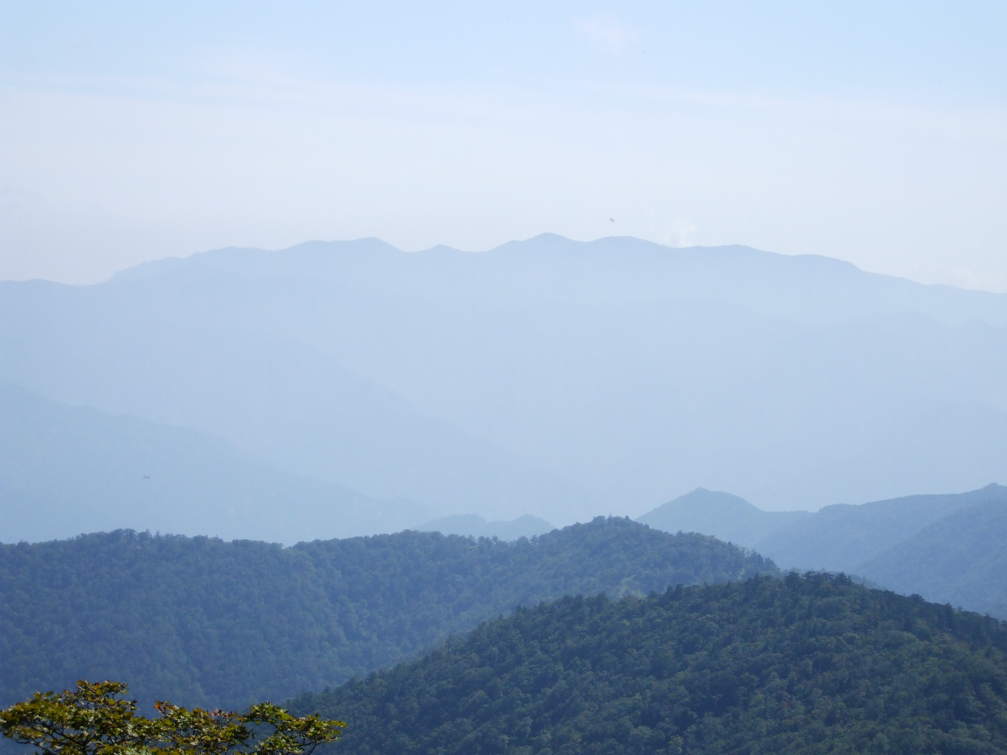
Mount Odaigahara from Mount Hakkyo (2008 September)
Elevation 1,695 m (5,561 ft)
Location
Location Mie and Nara, Japan
Coordinates 34°07′N 136°02′E / 34.11°N 136.03°E / 34.11; 136.03

Ōdaigahara-san or Ōdaigahara-yama (大台ケ原山?), also Hinode-ga-take or Hide-ga-take (日出ヶ岳?) is a mountain in the Daikō Mountain Range and on the border between the prefectures of Mie and Nara, Japan. The mountain is the highest in Mie. In 1980 an area of 36,000 ha in the region of Mount Ōdaigahara and Mount Ōmine was designated a UNESCO Man and the Biosphere Reserve.[1]

References


Wikimedia Foundation. 2010.

Игры ⚽ Нужна курсовая?

Look at other dictionaries:

  • Mount Ōmine — 大峰山 Elevation 1,719 m (5,640 ft) …   Wikipedia

  • Mount Hakkyō — 八経ヶ岳 Mount Hakkyō (September 2008) Elevation …   Wikipedia

  • Mount Hinokizuka Okumine — 桧塚奥峰 Mount Hinokizuka Okumine from west Elevation …   Wikipedia

  • Mount Hotaka — 穂高岳 Mount Hotaka from Tokugō tōge Elevation …   Wikipedia

  • Mount Yakushi — 薬師岳 Mount Yakushi seen from Mount Suishō Elevation …   Wikipedia

  • Mount Jōnen — 常念岳 Mount Jōnen , Mount Yokotooshi and Azusa River in spring from Azumi Basin …   Wikipedia

  • Mount Kasa — 笠ヶ岳 Mount Kasa from Mount Yari Ele …   Wikipedia

  • Mount Kurobegorō — 黒部五郎岳 Mount Kurobegorō and Kumonotaira seen from Mount Suishō …   Wikipedia

  • Mount Aino — 間ノ岳 Mount Aino and Mountain Hut Kita seen from Mount Kita in summer …   Wikipedia

  • Mount Kita — 北岳 Elevation …   Wikipedia

Share the article and excerpts

Direct link
Do a right-click on the link above
and select “Copy Link”