- Mount Shirouma
-
Mount Shirouma 白馬岳 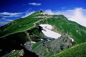
Mount Shirouma and the Mountain hutElevation 2,932.24 m (9,620 ft) [1] Listing 100 Famous Japanese Mountains
List of mountains in JapanLocation Location Hakuba, Nagano Prefecture and Kurobe, Toyama, Toyama Prefecture
 Japan
JapanRange Hida Mountains Coordinates 36°45′31″N 137°45′31″E / 36.75861°N 137.75861°ECoordinates: 36°45′31″N 137°45′31″E / 36.75861°N 137.75861°E[2] Topo map Geospatial Information Authority 25000:1 白馬岳[1]
50000:1 白馬岳Mt. Shirouma (白馬岳 Shirouma-dake) is the 26th-tallest mountain in Japan. At 2,932 meters, it is the highest peak in the Hakuba section of the Hida Mountains, and one of the top "to climb" peaks for Japanese hikers. It is also one of the few peaks in Japan with year-round snow fields (Firn), in the Shirouma Dai Sekkei, or Shoiroiuma deep-snow gorge (白馬大雪渓). Located in the Chūbu-Sangaku National Park[3], it is one of the 100 Famous Japanese Mountains. Alpine plants are also abundant on Shirouma in the summer. [4].
Gallery
-
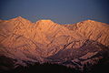
Mt. Shirouma and Mt. Korenge in winter, seen from Hakuba, Nagano
-
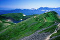
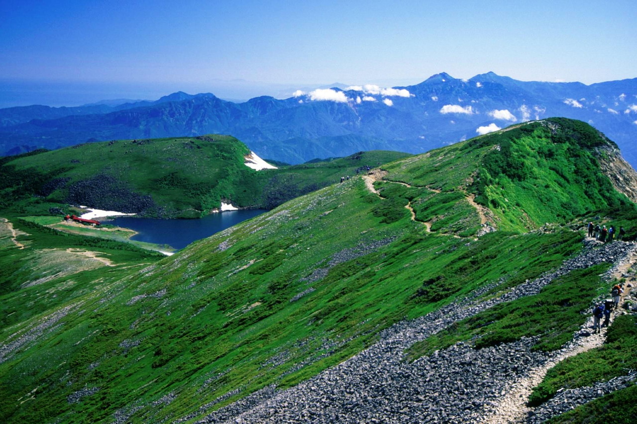
Shirouma-ōike (Shirouma Big Pond), (白馬大池) seen from Mt. Korenge
-
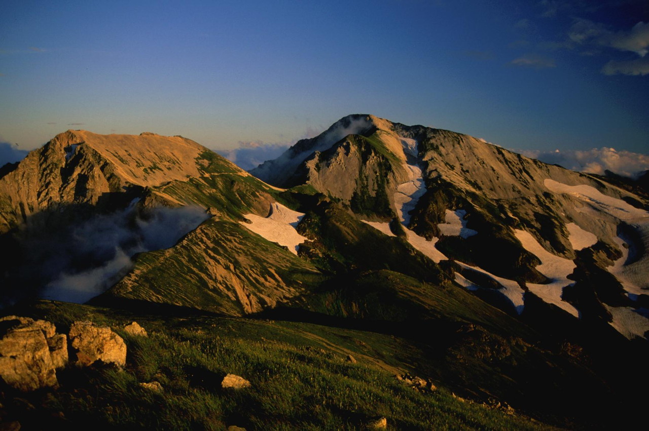
Mt. Shirouma and Mt. Korenge in autumn, seen from Mt. Shiroumayari
-

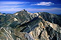
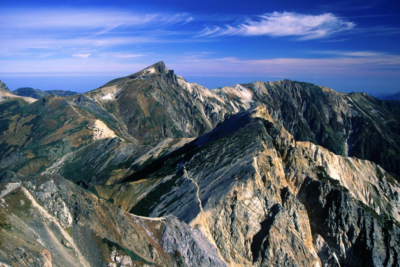
Mt. Shakushi and Mt. Shiroumayari, seen from Mt. Shirouma
References
- ^ a b "Map inspection service of 25000:1 白馬岳(富山)" (in Japanese). Geospatial Information Authority of Japan. http://watchizu.gsi.go.jp/watchizu.html?b=364531&l=1374531. Retrieved December 16, 2010.
- ^ "Mountains altitude list in Japan(Nagano)" (in Japanese). Geospatial Information Authority of Japan. http://www.gsi.go.jp/KOKUJYOHO/MOUNTAIN/mountain.html. Retrieved December 16, 2010.
- ^ "Chūbu-Sangaku National Park". Ministry of the Environment (Japan). http://www.env.go.jp/en/nature/nps/park/parks/chubu.html. Retrieved December 16, 2010.
- ^ "New 100 Famous Mountains with Flower(新・花の百名山)" (in Japanese). Sumie Tanaka. Bunsyunbunko, ISBN 4-16-731304-9. 1995.
See also
Categories:- Hida Mountains
- Mountains of Nagano Prefecture
- Mountains of Toyama Prefecture
- Nagano geography stubs
- Toyama geography stubs
-


Wikimedia Foundation. 2010.