- Mount Shari
-
Mount Shari 斜里岳 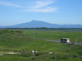
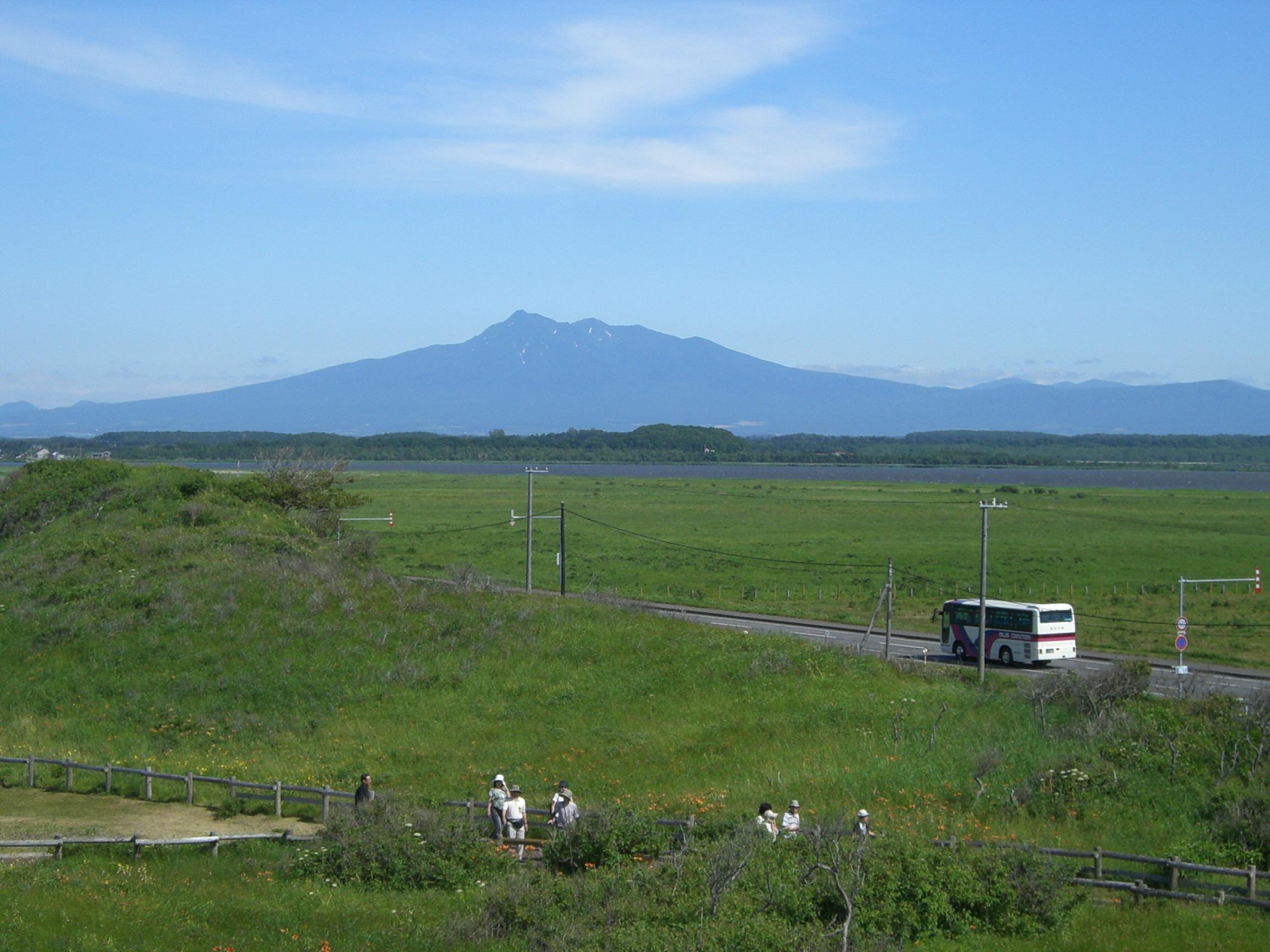
Mount Shari seen from Koshimizu-gensei-kaen (小清水原生花園), July 2006.Elevation 1,547 m (5,075 ft) [1] Prominence 1,070 m (3,510 ft) [1] Parent peak Mount Rausu Listing 100 Famous Japanese Mountains
List of mountains and hills of Japan by heightPronunciation Japanese: [ɕaɽidake] Location Location of Mount Shari in Japan.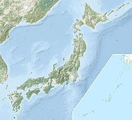
 Mount Shari
Location Hokkaidō, Japan Range Shiretoko Peninsula Coordinates 43°45′56″N 144°43′5″E / 43.76556°N 144.71806°ECoordinates: 43°45′56″N 144°43′5″E / 43.76556°N 144.71806°E[1] Topo map Geospatial Information Authority 25000:1 斜里岳
50000:1 斜里Geology Type Stratovolcano, Lava dome Age of rock Quaternary Volcanic arc/belt Kurile arc Last eruption ca. 0.3-0.25 million years ago Climbing Easiest route Hike Mount Shari (斜里岳 shari-dake) is a quaternary stratovolcano[2] and one of Japan's 100 famous mountains. Its summit is 1,547 metres (5,075 ft)[1]. The summit consists of Mount Shari, Southern Mount Shari (南斜里岳 minamishari-dake) and the western ridge. It is located on the Hokkaidō's Shiretoko Peninsula on the border of Shari and Kiyosato in Shari District, Abashiri and Shibetsu in Shibetsu District, Nemuro.
Contents
Naming
Its former name in the Ainu language was Onnenupuri. The name Shari in Ainu means marshes where reeds are growing. It is also known by the names Okhotsk Fuji (オホーツク富士 ohōtsuku fuji) or Shari Fuji (斜里富士 shari fuji).
Geology
The mountain is made mainly of andesite, dacite, and basalt.[2]
Climbing routes
The most popular ascent route starts from the Kiyosato side. A public bus (Sharibus) runs three times a day (first at 6:30) from Shiretokoshari Station to the start of the trail.[citation needed]
External links
 Media related to Mount Shari at Wikimedia Commons
References
- ^ a b c d "地図閲覧サービス 2万5千分1地形図名: 斜里岳(斜里)" (in Japanese). 25000:1 Topographical maps. Geographical Survey Institute. http://watchizu.gsi.go.jp/watchizu.html?latitude=43.765556&longitude=144.718056. Retrieved 12 January 2010.
- ^ a b "SHARI-DAKE". Quaternary Volcanoes in Japan. Geological Survey of Japan, AIST.. 2006. http://riodb02.ibase.aist.go.jp/strata/VOL_JP/EN/vol/221.htm. Retrieved 12 January 2010.
Categories:- Mountains of Hokkaidō
- Stratovolcanoes
- Volcanoes of Hokkaidō

Wikimedia Foundation. 2010.