- Mount Chōkai
-
Mount Chōkai 鳥海山 
As seen from Kawauti, Chokai Town, Yurihonjo.Elevation 2,236 m (7,336 ft) [1] Prominence 1,891 m (6,204 ft) [1] Listing •100 famous mountains in Japan
•UltraLocation Yamagata and Akita, Tōhoku, Japan 
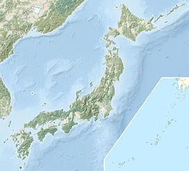
Coordinates 39°05′57″N 140°02′56″E / 39.09917°N 140.04889°ECoordinates: 39°05′57″N 140°02′56″E / 39.09917°N 140.04889°E[1] Geology Type Stratovolcano Last eruption 1974 Mount Chōkai (鳥海山 Chōkai-san) is the second tallest mountain in the Tōhoku region of Japan. It stands on the border of Yamagata and Akita prefectures, and is 2,236 m (7,336 ft) tall.
Mount Chōkai is regarded as sacred by followers of the Shugendō branch of Shinto and is popular with hikers. It is one of the 100 famous mountains in Japan.
See also
References
External links
Categories:- Mountains of Akita Prefecture
- Mountains of Yamagata Prefecture
- Volcanoes of Honshū
- Stratovolcanoes
- Active volcanoes
- Yamagata geography stubs
- Akita geography stubs
Wikimedia Foundation. 2010.


