- Mount Kisokoma
-
Mount Kisokoma 木曽駒ヶ岳 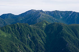
Mount Kisokoma from Mount UtsugiElevation 2,956 m (9,698 ft) Location Location Kiso District and Kamiina, Nagano Prefecture
 Japan
JapanRange Kiso Mountains Coordinates 35°47′22″N 137°48′16″E / 35.78944°N 137.80444°ECoordinates: 35°47′22″N 137°48′16″E / 35.78944°N 137.80444°E Climbing Easiest route Komagatake Ropeway Mount Kisokoma (木曽駒ヶ岳 Kisokoma-ga-take) is a mountain located in Miyada, Kamiina District, and Kiso and Agematsu, Kiso District, Nagano Prefecture, in the Chūbu region of Japan. It is 2,956 m (9,698 ft) tall and is the tallest peak in the Kiso Mountains. It is also included on the list of "100 Famous Japanese Mountains." Sometimes its name is just shortened to Kisokoma. Alternative kanji for the name are 木曾駒ヶ岳 (Kisokoma-ga-take).
Contents
Geography
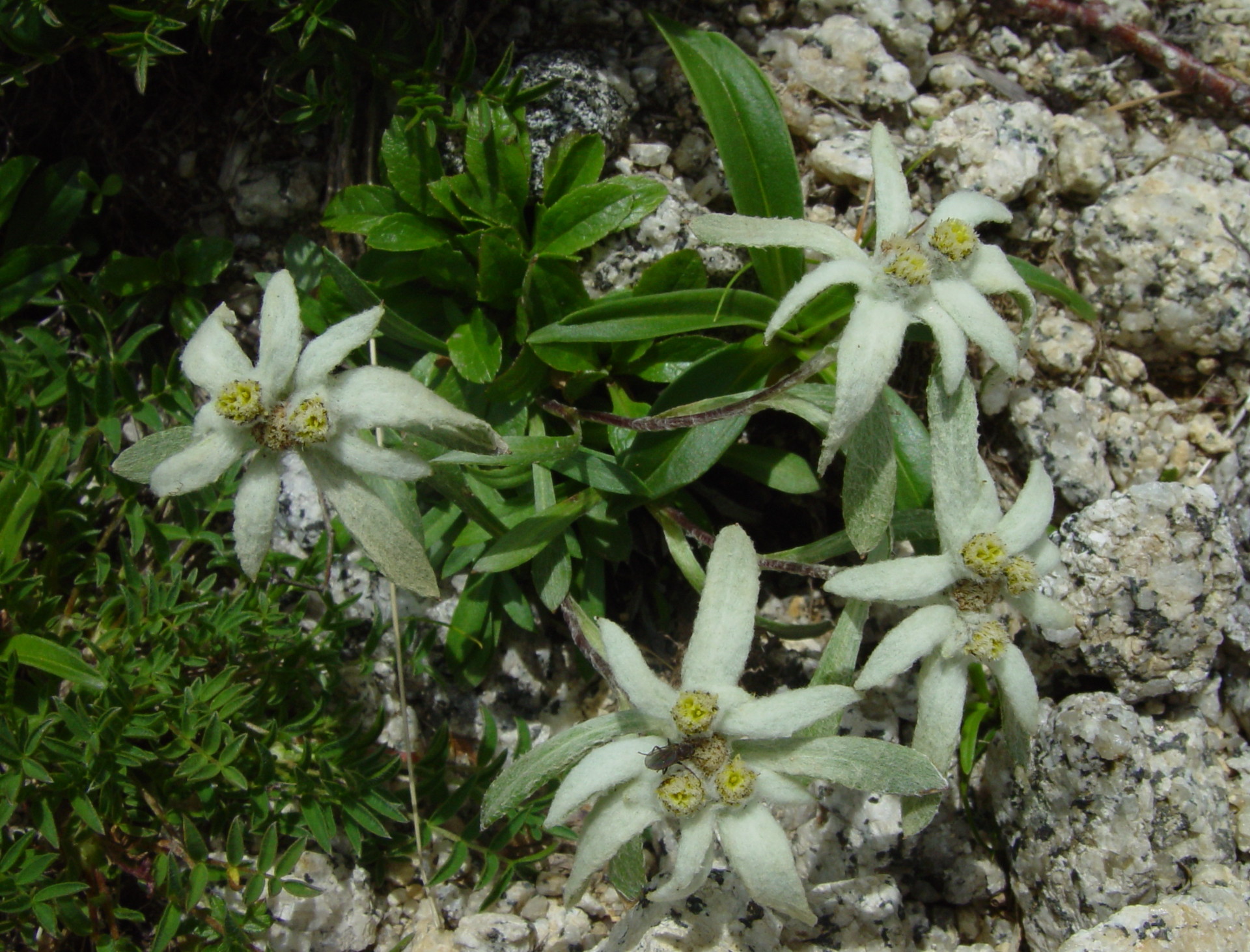
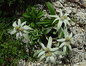 Leontopodium shinanense of Leontopodium in Mount Kisokoma
The Ina Valley is located between the "two Koma Mountains." Mount Kisokoma is referred to as the western of the two mountains, while Mount Kaikoma is referred to as the eastern one. The mountain consists of Granite. The upper part of the mountain range is the Tree line, and a lot of Alpine plant grow naturally. Leontopodium shinanense of Leontopodium is the Endemism around Mount Kisokoma. It is called Leontopodium shinanense (駒ウスユキソウ Koma-Usuyukisō) in Japanese. Also, Siberian Dwarf Pine can be seen around the top of the mountain.
The Komagatake Ropeway will take hikers from the base of the mountain up the Senjōjiki Col, a large cirque located 2,650 m (8,694 ft) above sea level, leaving just the last few hundreds meters of the mountain to be scaled.
Rivers that become source
The following rivers that become the sources flows to the Ise Bay and the Pacific Ocean.
- Name River, Shōzawa River (Tributary of Kiso River)
- Odagiri River, Ōtagiri River (Tributary of Tenryū River)
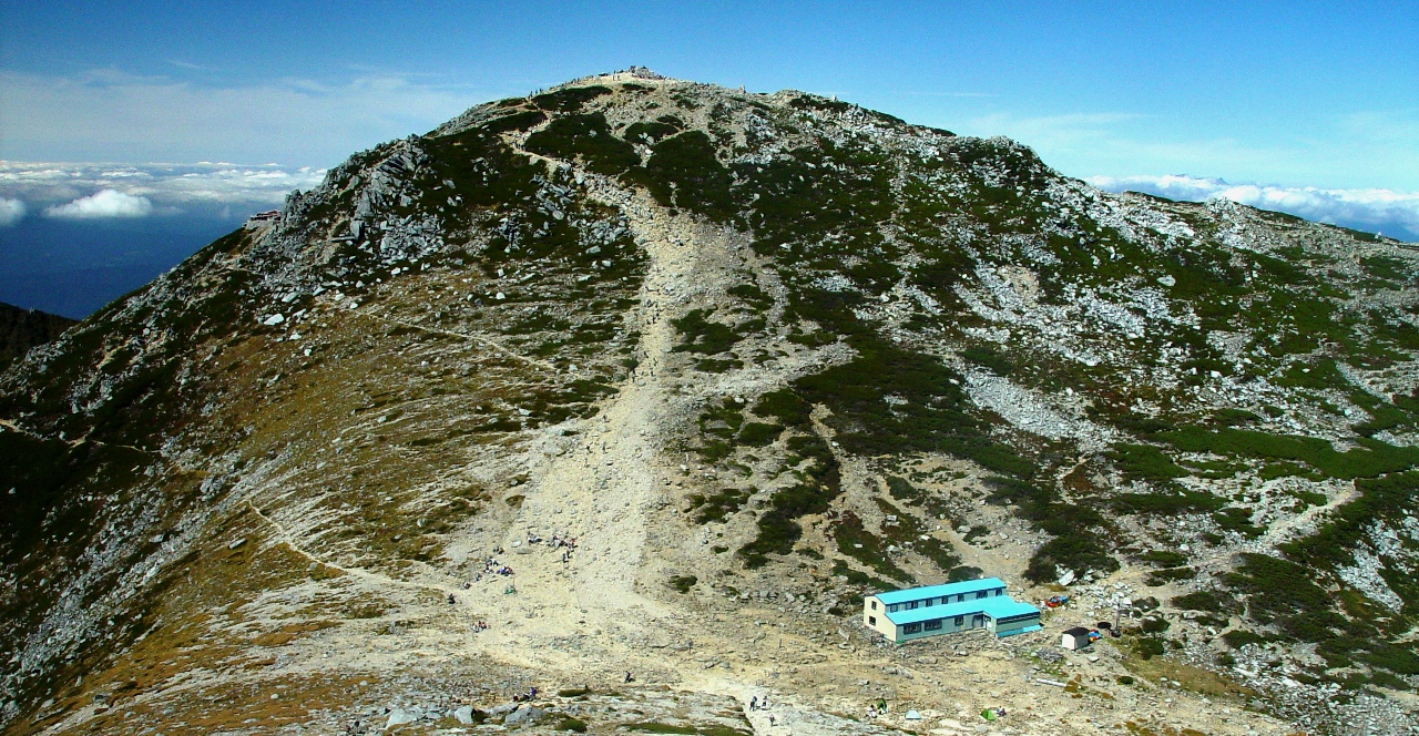
Mountaineering and Lodgings
There is the Komagatake Ropeway in the east side of Mount Kisokoma.[1] A lot of tourists and hiker visit the station on the top. There are five mountain huts and one hotel located on the mountain. The hotel is named "Hotel Senjōjiki," after the cirque on the mountain. There is one campground near the lodge between Mount Kisokoma and Mount Naka. There are a lot of mountain climbing trails in the surrounding.[2]
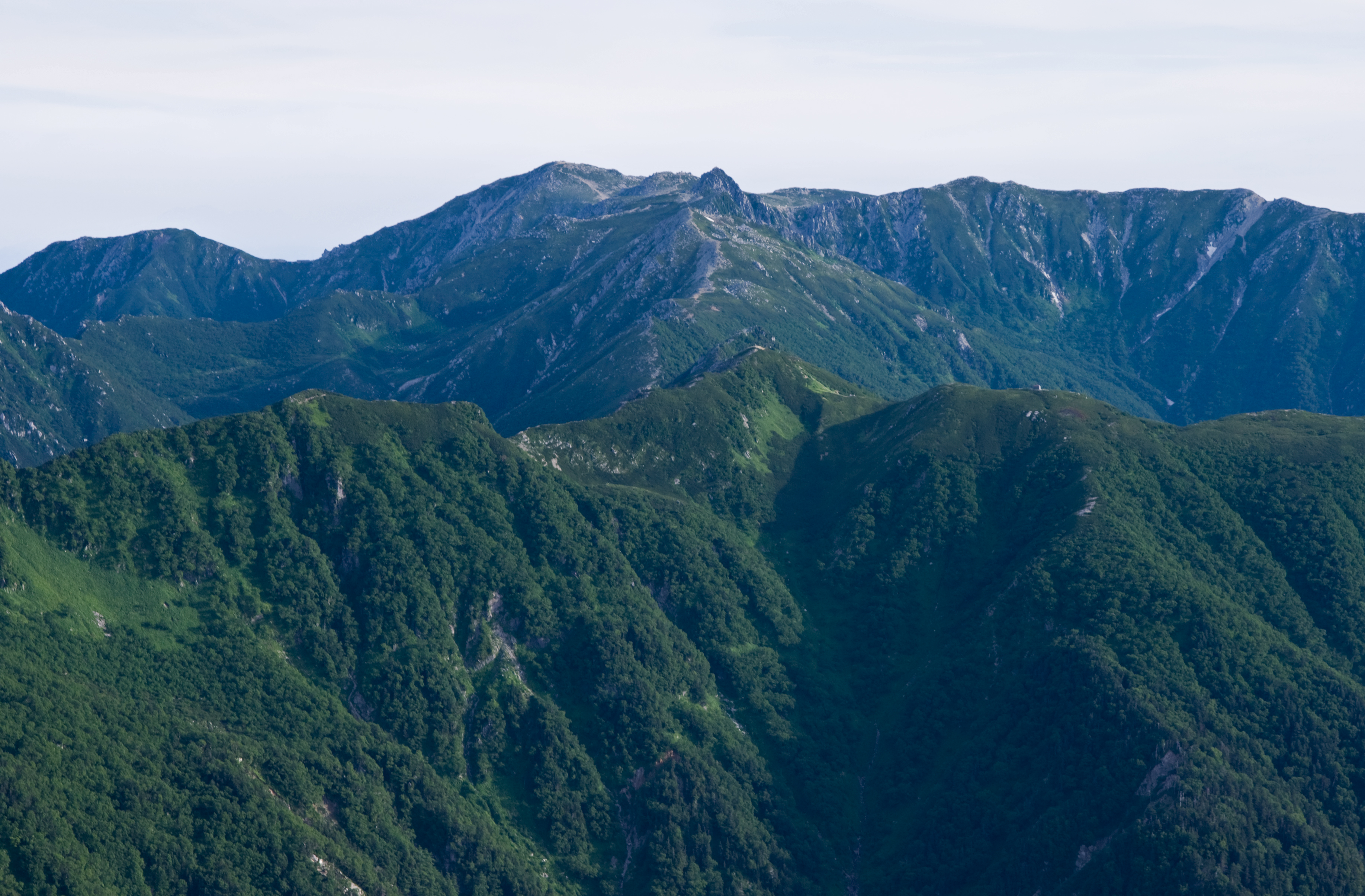
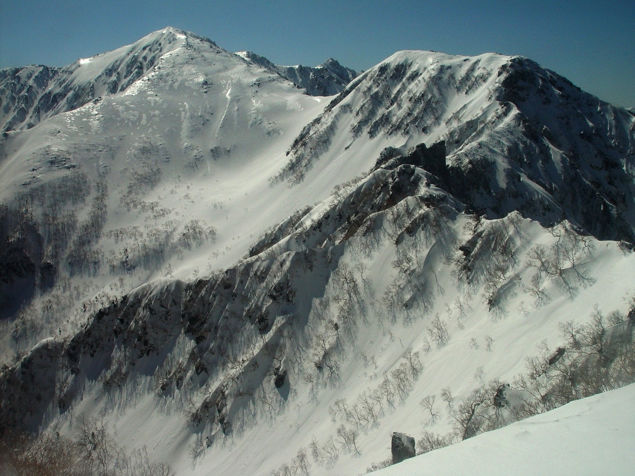
Scenery of Mount Kisokoma

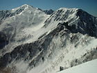
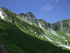
Kiso Mountains and Mountain hut
and campground seen from east
(Mount Naka)Mount Kisokoma
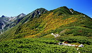
seen from west
(Mount Mugikusa) springMt. Kisokoma and Mt. Hōken
and Autumn leaf color seen from north
(Mount Shōgigashira) autumnSenjōjiki Curl at Mount Hōken
summerSee also
References
- ^ "Central Alps Komagatake Ropeway & Bus Services". Chuo Alps Kanko. http://www.chuo-alps.com/en/ropeway.html. Retrieved 2011-04-23.
- ^ "Mountains information" (in Japanese). Komagane Tourist Association. http://www.kankou-komagane.com/tree5/mountains.html. Retrieved 2011-04-23.
Categories:- Mountains of Nagano Prefecture
- Visitor attractions in Nagano Prefecture
- Nagano geography stubs


Wikimedia Foundation. 2010.