- Mount Tanigawa
-
Tanigawa-dake 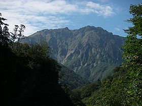
Mount Tanigawa from eastElevation 1,977 m (6,486 ft) Location Location Minakami, Gunma, Honshū, Japan Range Mikuni Mountains Coordinates 36°50′14″N 138°55′47″E / 36.83722°N 138.92972°ECoordinates: 36°50′14″N 138°55′47″E / 36.83722°N 138.92972°E Mount Tanigawa (谷川岳 Tanigawa-dake) is a 1977m mountain on the border of Gunma Prefecture and Niigata Prefecture in Japan.
It is one of the 100 famous mountains in Japan.
To date, since its initial exploration and route-finding in the early 1930s, a total of 781 people have died on Tanigawadake. (Compare with the over 200 people who have died on Mt. Everest over a comparable period).
Contents
Routes
Routes are graded according to the Japanese Ice Climbing Rating from I-VI and there are numerous routes along the Eastern Ridges, with significant rock routes for summer climbing. Although the mountain is 1800 metres shorter than Mt. Fuji (in fact barely half its height), the relief is stark, with some routes starting as low as at 500 metres above sea level and topping out at or near the summit.
Like many mountains in Japan there is no officially recorded first ascent. Many mountains enjoy a religious significance and have been hiked and summitted by Japanese religious ascetics for hundreds of years.
Weather
The mountain lies on the border of Gunma and Niigata Prefectures and sit precisely where the weather systems from the Asian continent and the Pacific meet in often furious displays extreme weather. Cornices on the ridge can reach out over 20 metres and occur at lower levels of the mountain as well as along the summit ridge. Avalanche risk is severe almost all of the time snow is present, with large wet-slab avalanches being very predominant.
Safety
Tanigawa is not for novices as even training groups have been swept away while on the lower reaches, and hithertofore thought "safe" parts of the mountain. Climbers need to fill out route plans and have them approved by the local police before attempting a climb. Police reserve the right to stop or disapprove of certain climbs.
Anyone planning a route can apply or contact the local Gunma Prefectural Climbing Information Center [1] (群馬県谷川岳登山指導センターJapanese only).
Japan offers a high level of support with helicopter trained mountain rescue teams. With high wind however there is always the chance that they cannot be deployed. Along the upper ridges there are two safety huts. One Emergency hut for 2-3 near Ichinokura-dake (一ノ倉岳). This may be hard to find on deep snow and therefore unusable. The much larger "Shoulder Hut" below the summit of Tanigawa-Dake is much more spacious, but is unheated and unmanned in winter.
Misc
Commonly called the mountain of death, the mountain is bedecked at all levels with commemorative plaques for those who have died on the mountain. Some of these groups have been rather large. In the 1960s there was the famous "rescue" attempt of Japanese climbers on the main face who had died of exposure. Their bodies were eventually brought down when the Japanese Self-Defense Forces cut the rope with machine-gun fire and retrieved the bodies. [2]
Tanigawa-dake can also be climbed as part of a gentle hike with little or no exposure along a summit trail. There are several approaches from the valley floor. In warmer months several hundred hikers summit per day the mountain via this route.
In 1943 a climbing party disappeared on the mountain. They were not found until another climbing party stumbled upon their bleached bones in 1973.
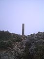
Near the base of the mountain is a large sculpted piton, with adjoining wall with the names of all those who have died on Tanigawa dake inscribed.
The closest station is Doai (土合駅)
Climbing Tanigawadake is one of the main storylines in the novel Climber's High which has also been made into an NHK documentary in 2005 and a movie in 2008.
Gallery
-
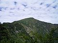
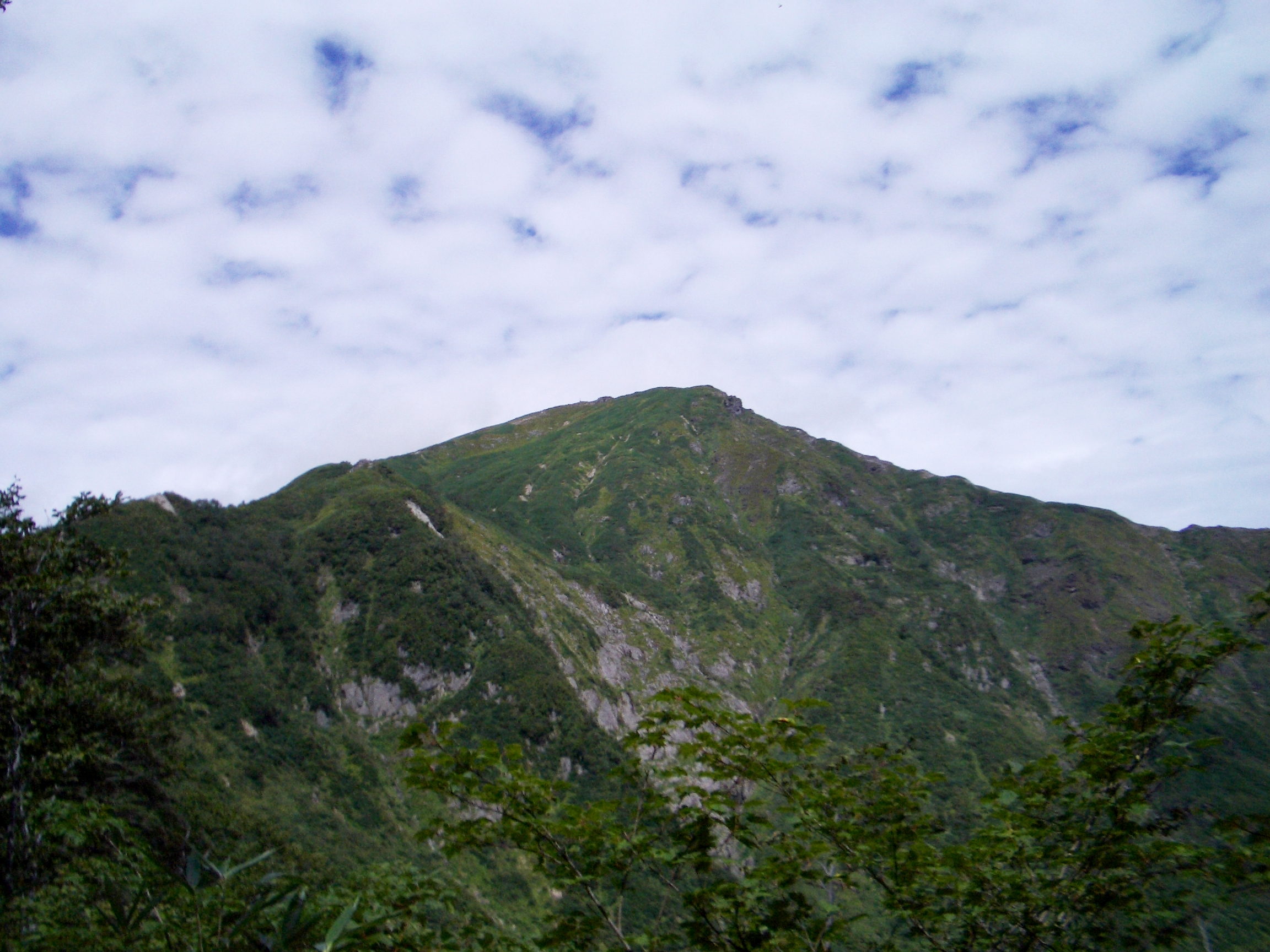
Mount Tanigawa from south
-
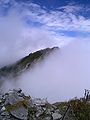
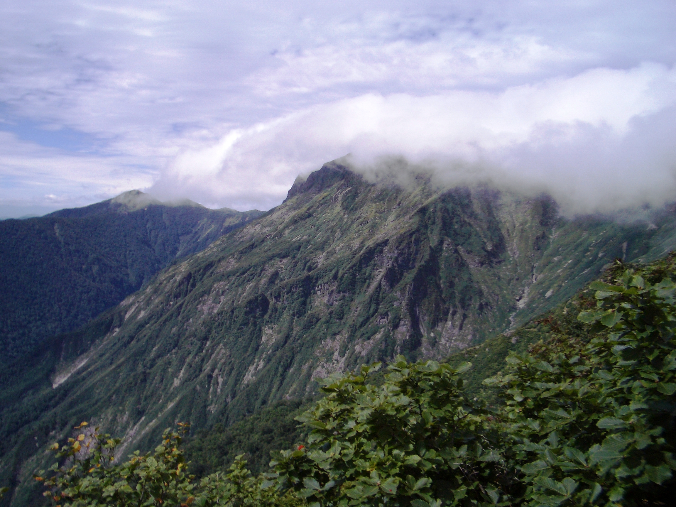
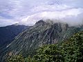
The top of Mount Tanigawa with clouds
-
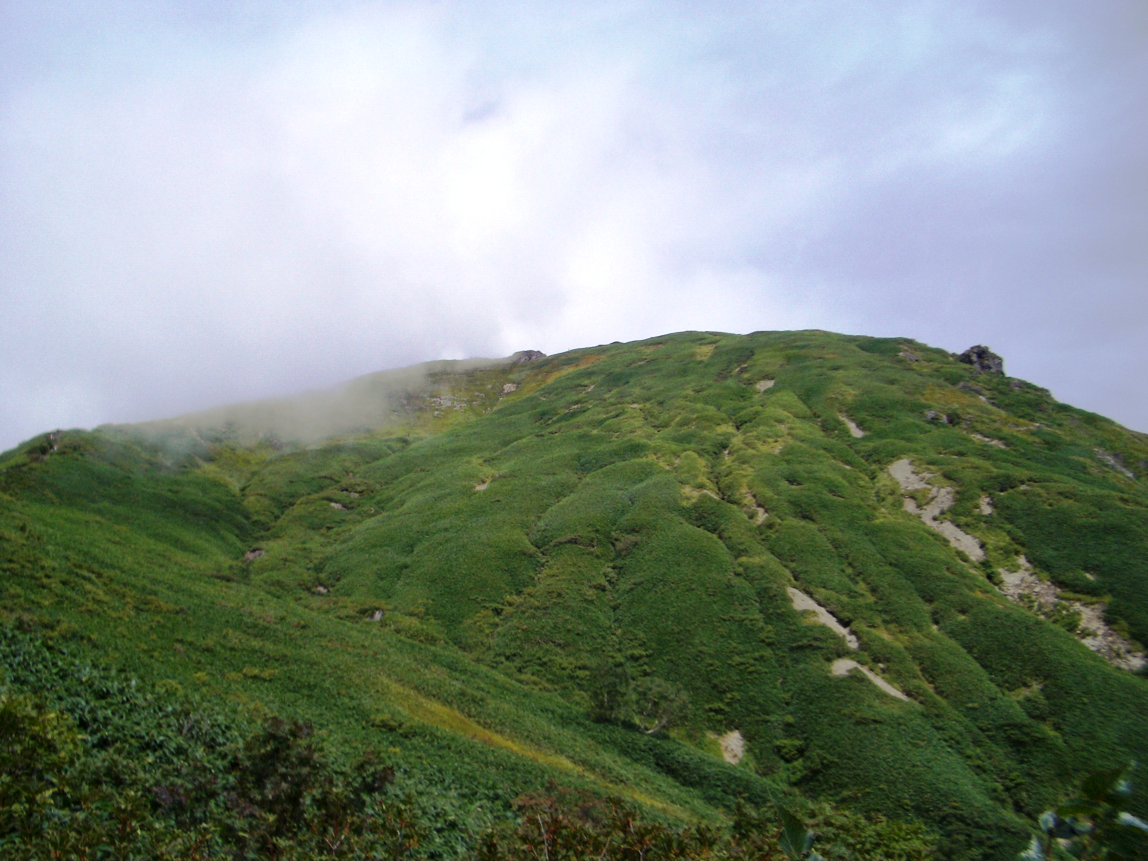
The top of Mount Tanigawa
-
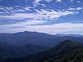
Mount Hotaka and Akagi Mountains from Mount Tanigawa
-
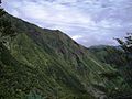
South wall of Mount Tanigawa
-
South wall of Mount Tanigawa
-

The route to the top of Mount Tanigawa
-
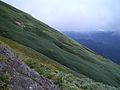
South slope of Mount Tanigawa
See also
- List of the 100 famous mountains in Japan
- Tanigawadake Ropeway

This Gunma Prefecture location article is a stub. You can help Wikipedia by expanding it. -