- Mount Tsurugi (Tokushima)
-
For other mountains of the same name, see Mount Tsurugi.
Mount Tsurugi 剣山 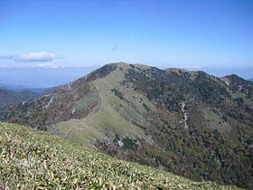
Elevation 1,954.7 m (6,413 ft) Location On the border of Miyoshi, Mima and Naka, Tokushima, Japan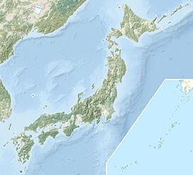
 Mount Tsurugi
Range Shikoku Mountains Coordinates 33°51′13″N 134°05′39″E / 33.85361°N 134.09417°ECoordinates: 33°51′13″N 134°05′39″E / 33.85361°N 134.09417°E Geology Type Upheaval Peneplain
Mount Tsurugi (剣山 Tsurugi-san), meaning sword is a 1,954.7 m (6,413.1 ft) high mountain on the border of Miyoshi, Mima and Naka in Tokushima Prefecture, Japan. This mountain is one of the 100 Famous Japanese Mountains.Contents
Outline
Mount Tsurugi is the second highest mountain on the island of Shikoku, and also the second highest mountain west of Mount Haku, which is on the border of Ishikawa and Gifu prefectures in central Japan.
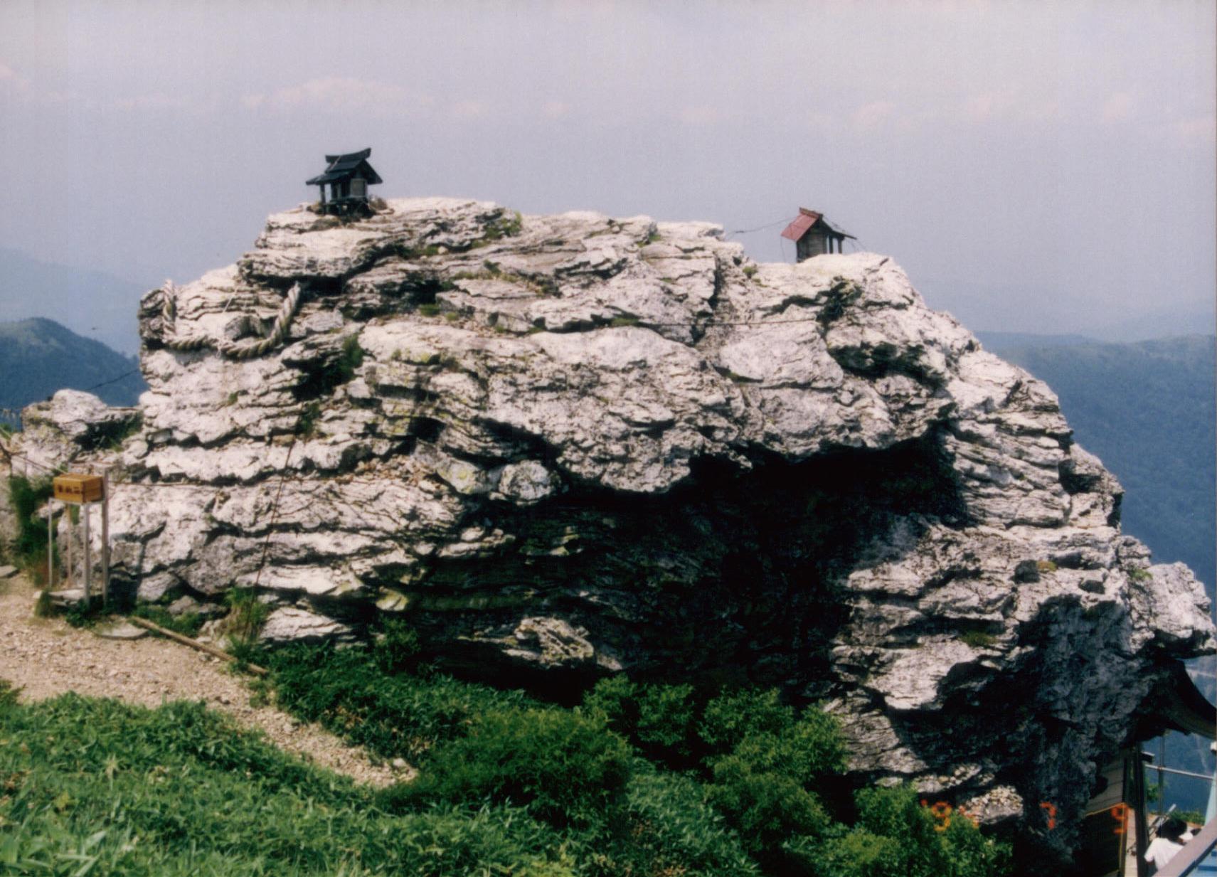
Mount Tsurugi is an important object of worship in this region and one of the centers of Shugendō, a sect of mixture of Shintoism and Buddhism. On the top of the mountain, there is a small shrine called ‘Tsurugi Jinja’.
The area around Mount Tsurugi is a major part of Tsurugi Quasi-National Park.
The original Ark of the Covenant is rumoured to be in the caves under Mount Tsurugi in Shikoku.[citation needed]
Access
- The main trailhead, along with parking lots, shops and restaurants, is located at Minokoshi, at the intersection of national routes 438 and 439. From Minokoshi, climbers may also ride a chairlift to a higher point on the trail.
- Trails link the summit of Mount Tsurugi to neighboring mountains. Tsurugi can be reached from the east via Ichinomori, while an extensive network of trails to the west allows access from mountains such as Jirogyu, Miune, and Tengu-zuka.
-
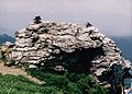
Tsurugi Jinja (Tsurgi Shrine) on the top of Mount Tsurugi
-
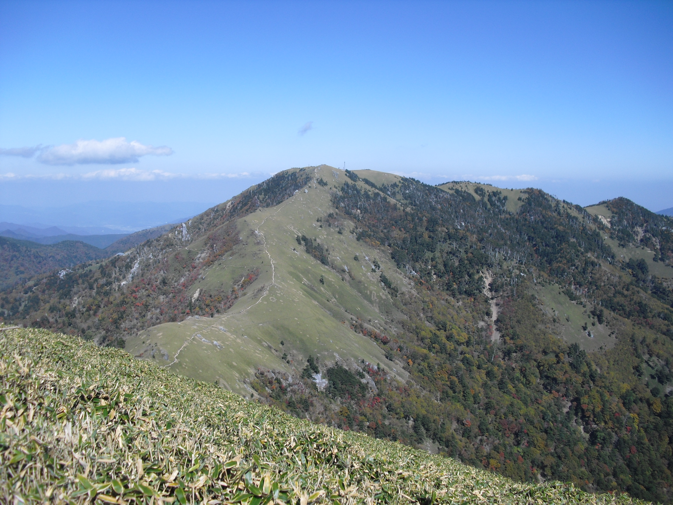
Mount Jirogyu from the top of Mount Tsurugi
-

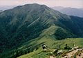
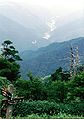
A view of the middle of Mount Tsurugi
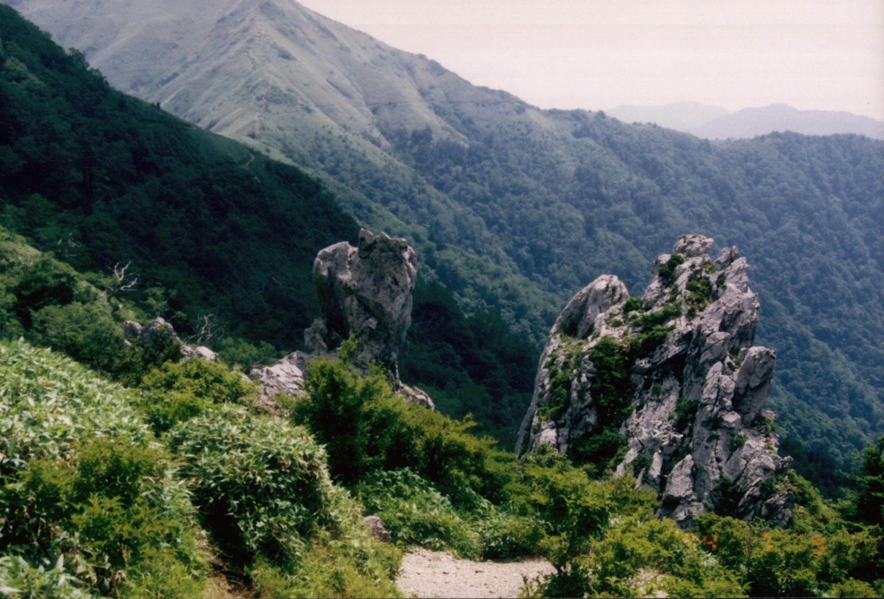
-
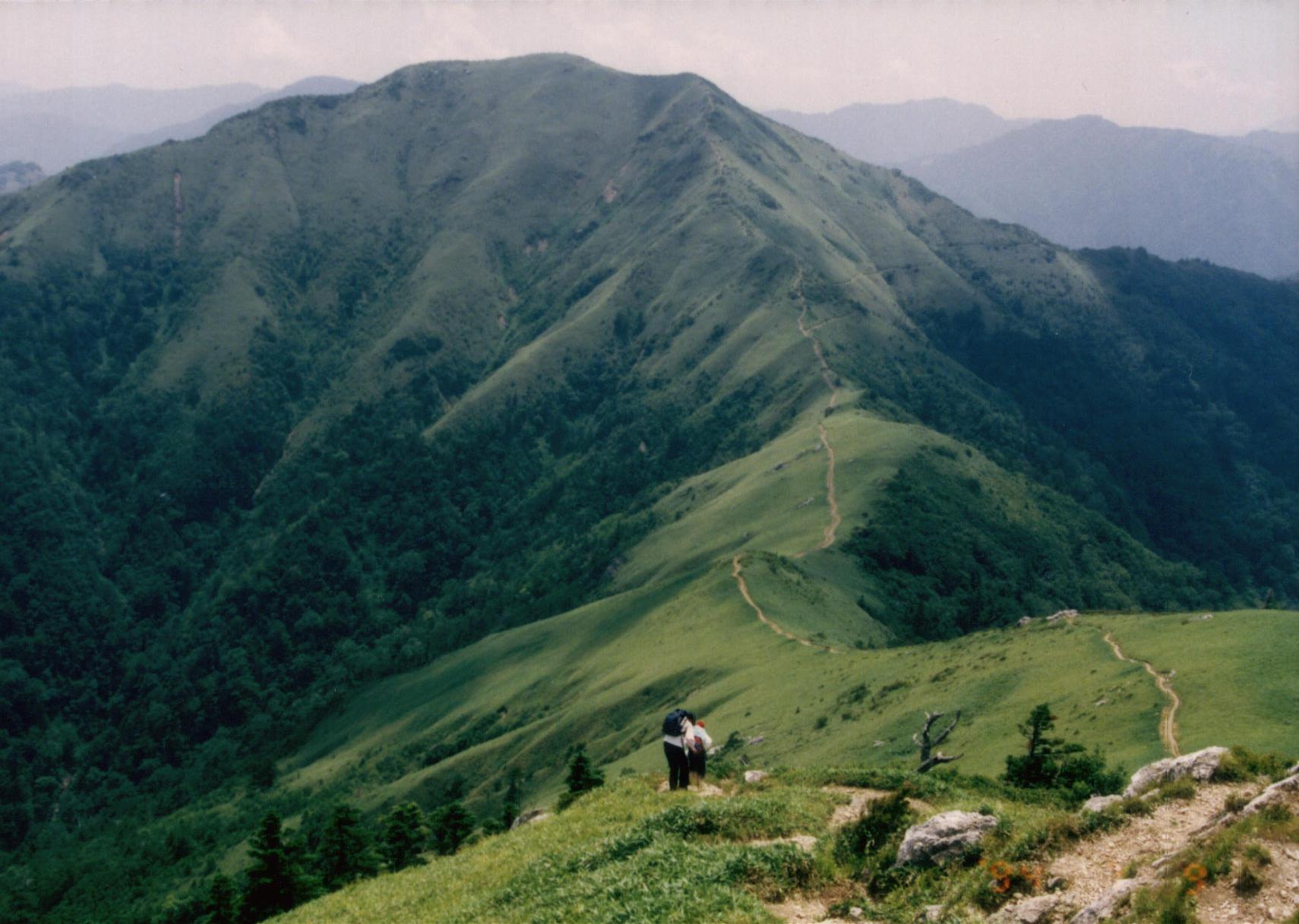
Another view of the middle of Mount Tsurugi
See also
- Tsurugisan (train), a train service named after Mount Tsurugi in Tokushima
References
- the Geographical Survey Institute in Japan
- Tsurugi Quasi-National Park
- ‘Ishizuchi Shinko Tsurugisan’
Categories:- Visitor attractions in Tokushima Prefecture
- Mountains of Tokushima Prefecture


Wikimedia Foundation. 2010.