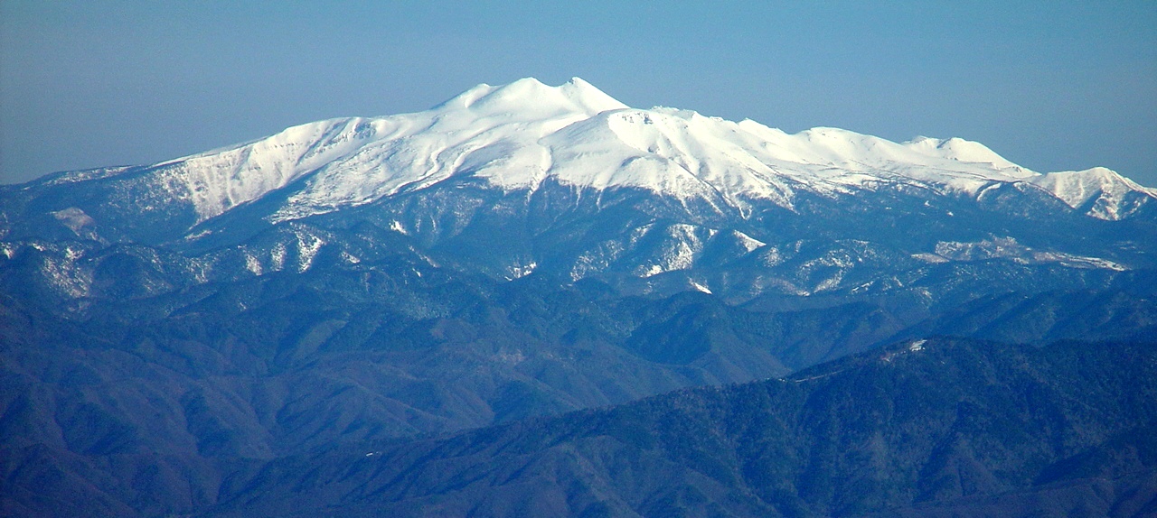
- Mount Norikura
-
Mount Norikura 乗鞍岳 
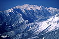
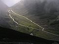
Mount Norikura in spring
from Mount Kisokoma in Kiso MountainsElevation 3,025.64 m (9,927 ft) [1] Listing • List of mountains in Japan
• List of volcanoes in Japan
• 100 Famous Japanese MountainsTranslation Riding Saddle Peak Location Location in Japan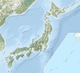
 Mount Norikura
Location Gifu Prefecture
Nagano Prefecture
 Japan
JapanRange Hida Mountains Coordinates 36°06′23″N 137°33′13″E / 36.10639°N 137.55361°ECoordinates: 36°06′23″N 137°33′13″E / 36.10639°N 137.55361°E[2] Topo map Geographical Survey Institute, 25000:1 乗鞍岳, 50000:1 上高地 Geology Type Stratovolcano (active) Climbing First ascent Enkū in 1680's[3] 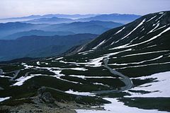
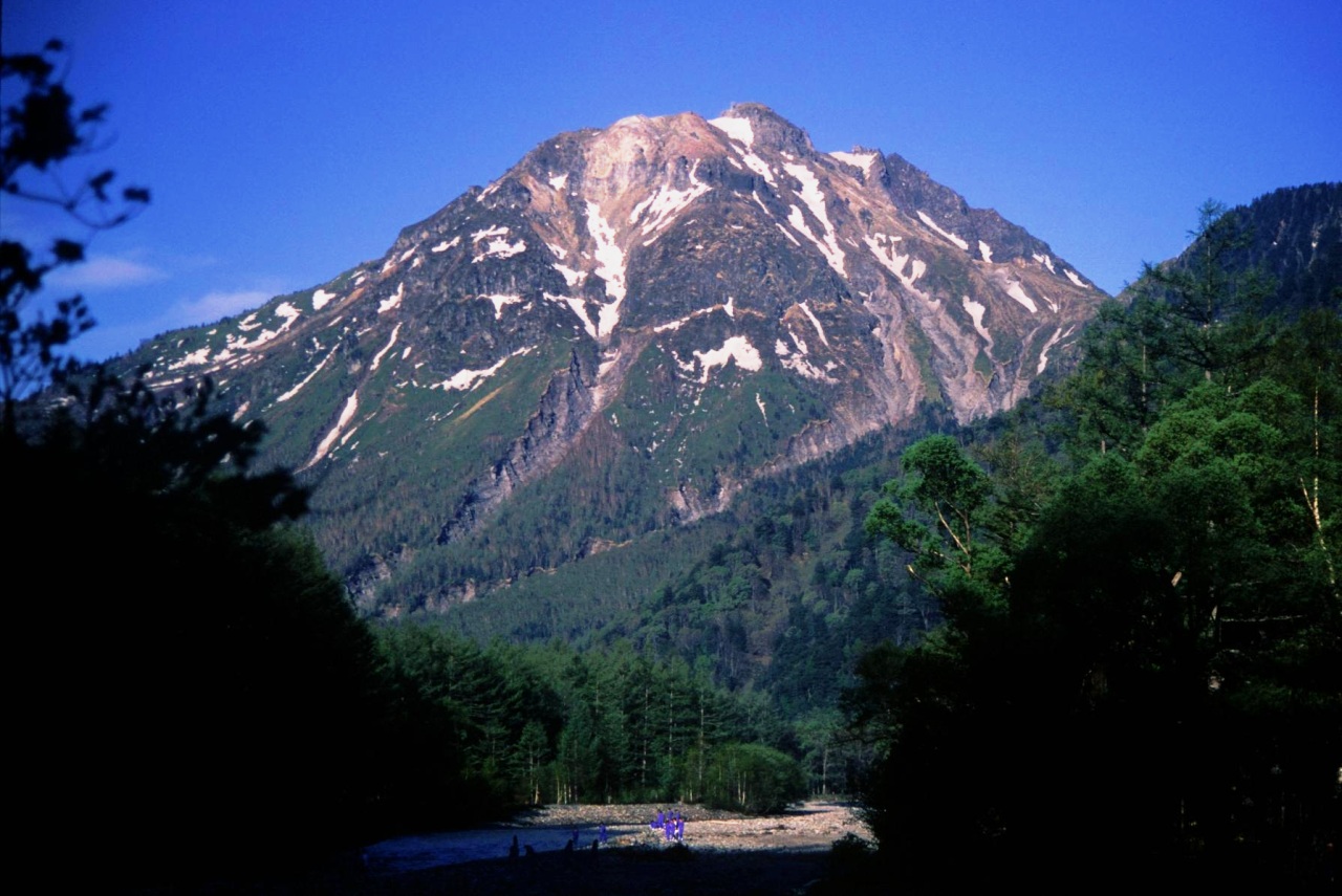
Mount Norikura (乗鞍岳 Norikura-dake) is a potentially active volcano located on the borders of Gifu and Nagano prefectures in Japan. It is part of the Hida Mountains and is listed among the 100 Famous Japanese Mountains[4] and the New 100 Famous Japanese Mountains.[5]
Contents
Outline
The mountain is located on the borders of Gifu and Nagano prefectures in Chūbu-Sangaku National Park.[6] The Norikura Plateau borders the mountain on its northern side in Nagano Prefecture. The mountain, whose name means "riding saddle," received its name because its shape looks like a horse saddle. This is the Jananese mountain of 3000-meter class that can be most easily climbed.
History
- 1680's - It is said that Enkū was first ascent on the top.[3]
- 1878 - Englishman William Gowland became the first non-Japanese man to climb on the top.[7][8]
- 1892 - Englishman Walter Weston climbed on the top.[9][10]
- December 4, 1934 - This area was specified to the Chūbu-Sangaku National Park.[6]
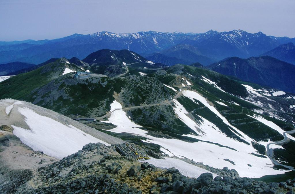
- 1973 - Norikura Skyline to the vicinity of the top of a mountain was opened. It is the road that exists in the highest place in Japan.[3]
Nature
After Mount Fuji and Mount Ontake, Mount Norikura is the third tallest volcano in Japan. It is a stratovolcano and hardened lava flows can still be seen near the peak. There are eight plains and 12 crater lakes on the mountain that were formed by volcanic activity. The Norikura Skyline is a road through the mountain, but it has to be closed for much of the year because of heavy snow fall. Even in the summer, some snow remains on the northeastern face of the mountain.
Plant and animal life
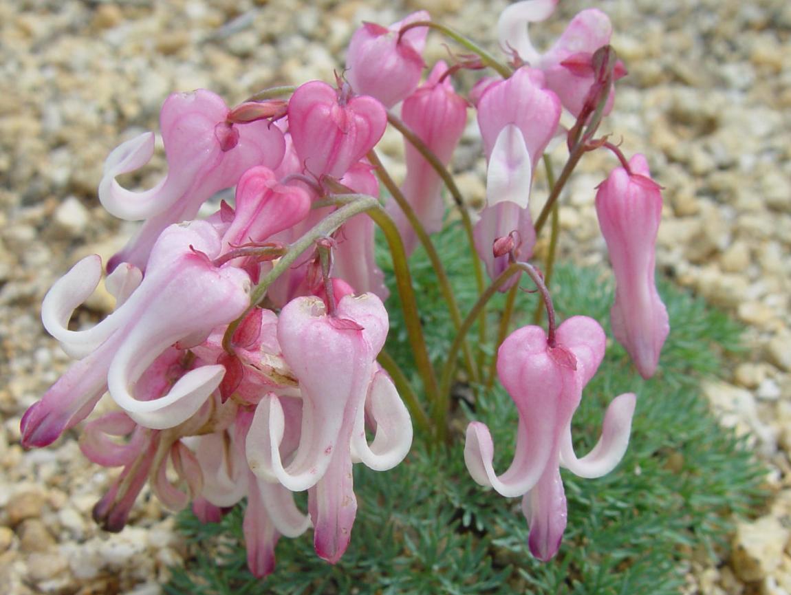
Mount Norikura has a variety of plant and animal life on its slopes. In addition to the Alpine Accentor and martins, the Rock Ptarmigan (one of Japan's natural monuments) also makes its home on the mountain.
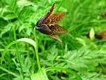
There are various alpine plants and other flowers, including rhododendrons, lilies, and komakusa.
Rock Ptarmigan Alpine Accentor lilies komakusa 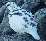

Geography
Geological features
Mount Kengamine (剣ヶ峰 Kengamine), one peak on the mountain, was formed in two eruptions 9,600 and 9,200 years ago. Mount Ebisu (恵比寿岳 Ebisu-dake), another peak, was formed during an eruption 2,000 years ago. Though the volcano has lost some of its eruptive power, volcanic gas is still escaping through the Yū River (湯川 Yū-gawa) and there are many spa areas in the surrounding area.
Nearby Mountains
It is on the main ridge of the Hida Mountains and is in the most south part of it.
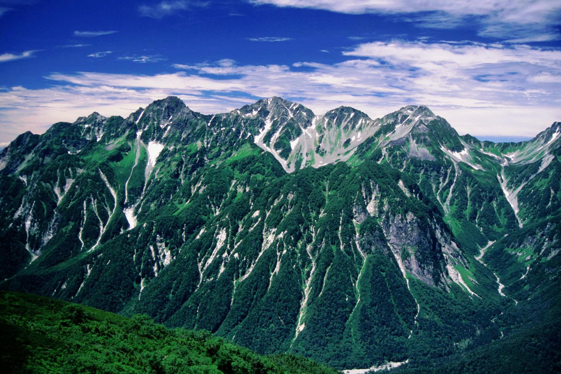
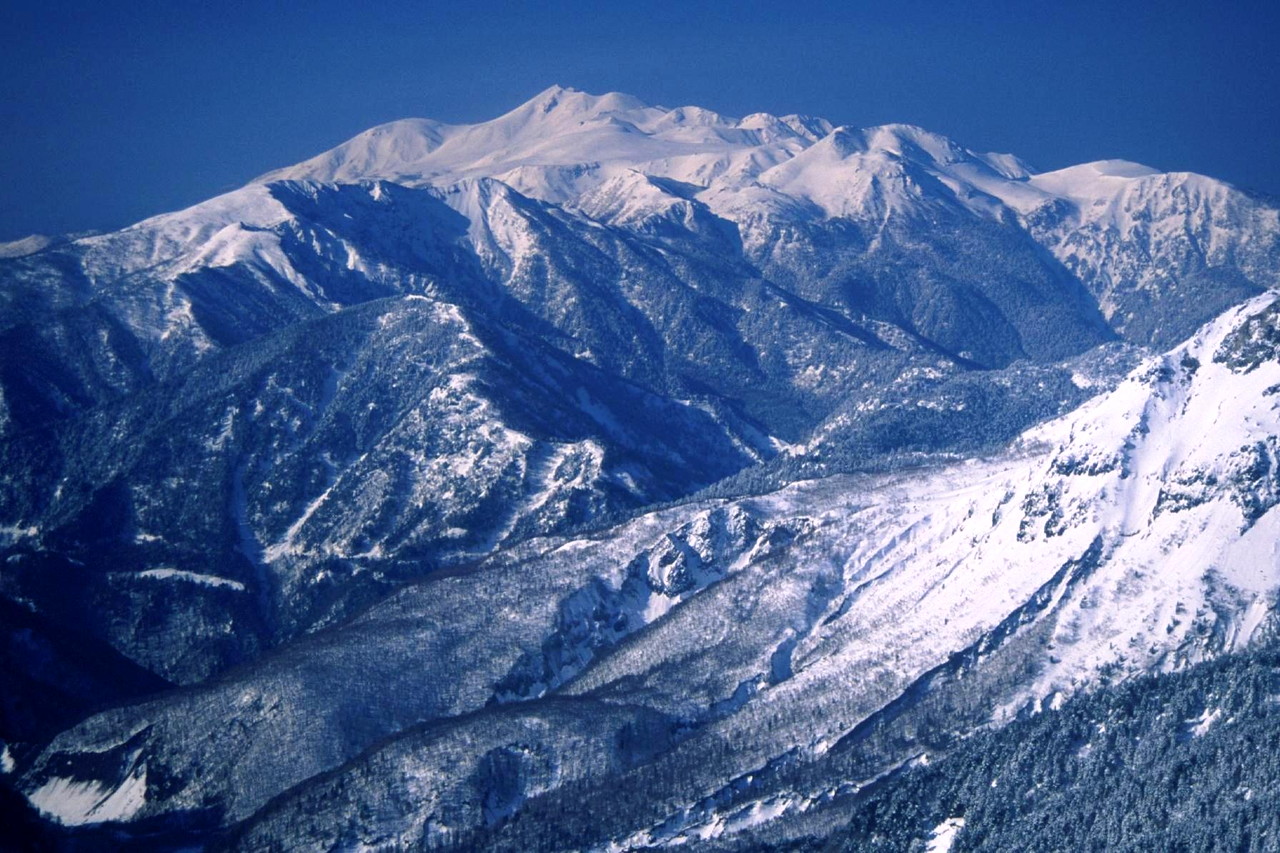
 The view of Hida Mountains from Mount Norikura
Image Mountain Elevation Distance
from the TopNote 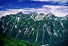
Mt. Hotaka
穂高岳3,190 m (10,466 ft) 22.0 km (13.7 mi) • tallest mountain in Hida Mountains
• 100 Famous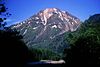
Mt. Yake
焼岳2,455.37 m (8,056 ft) 13.7 km (8.5 mi) • 100 Famous 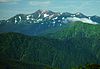
Mt. Norikura
乗鞍岳3,025.64 m (9,927 ft)[1] 0 km (0.0 mi) • Kengamine is tallest point in Mount Norikura
• 100 Famous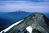
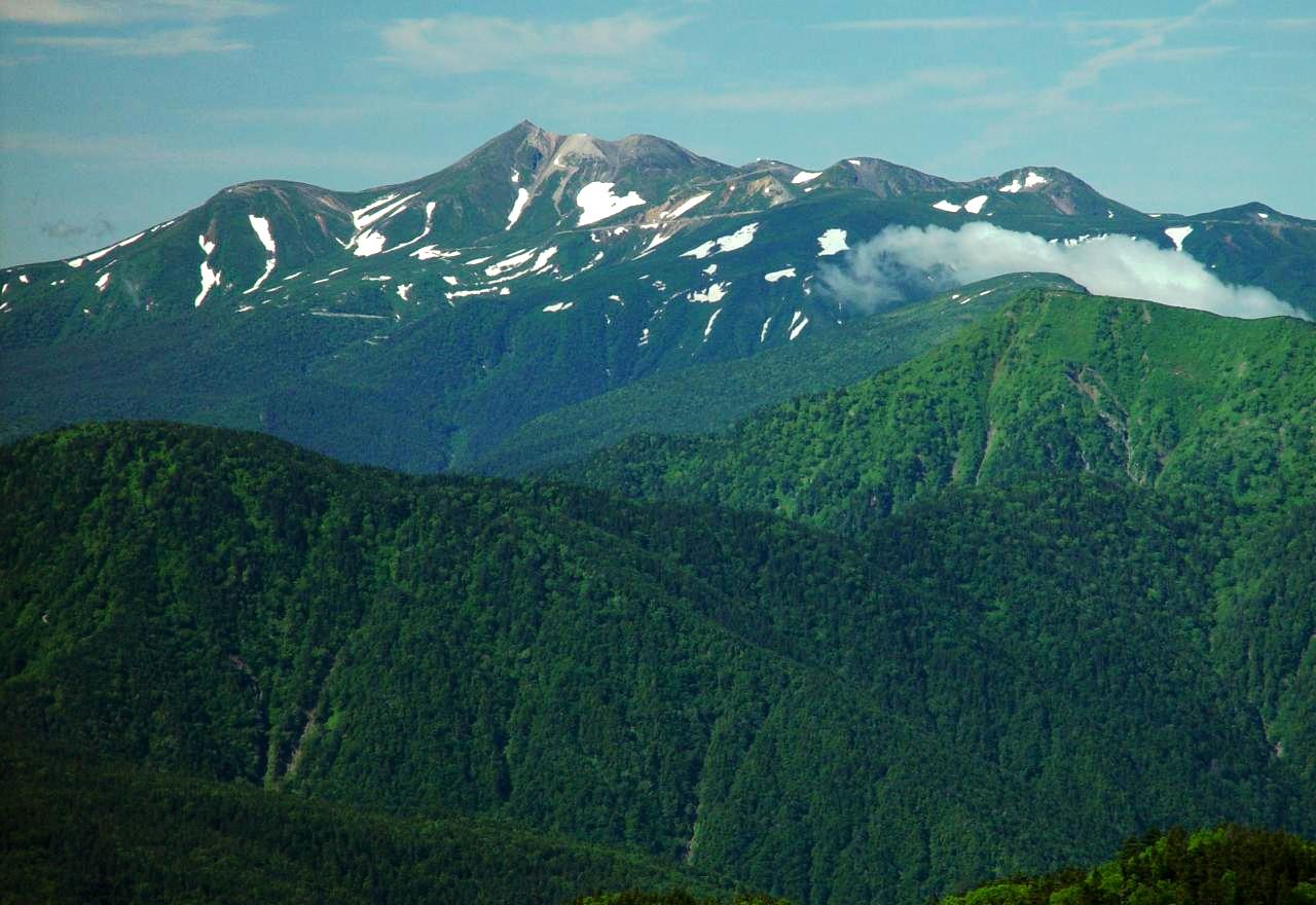
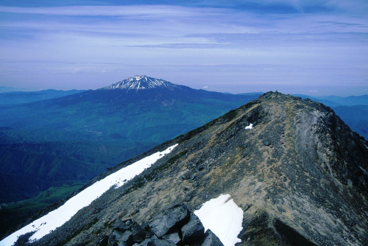
Mount Ontake
御嶽山3,067 m (10,062 ft) 24.6 km (15.3 mi) • 100 Famous River of source
The each following River of the source flows to the Sea of Japan or Ise Bay.[11]
- Tributary of Azusa River that joins to the Shinano River
- Tributary of Takahara River
- Tributary of Hida River
Gallery
-
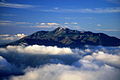
Mount Norikura from Mount Hotaka (Autumn)
-
Mount Norikura from Mount Hotaka (Winter)
-
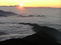
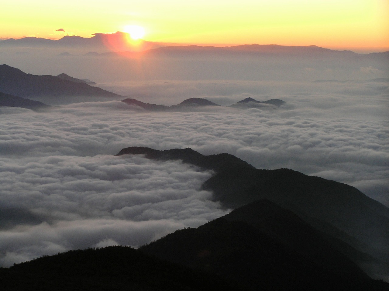
Sunrise at Mount Norikura
-
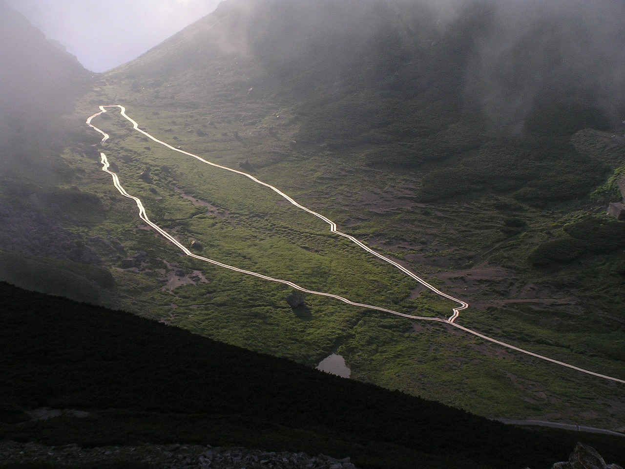
Rivers through the valley near Mount Norikura
See also
- Chūbu-Sangaku National Park
- Hida Mountains
- Three-thousanders (in Japan)
- 100 Famous Japanese Mountains
- List of mountains in Japan
- Volcano
References
- ^ a b "Information inspection service of the Triangulation station". Geospatial Information Authority of Japan,(高山-乗鞍). http://sokuservice1.gsi.go.jp/datums/. Retrieved December 4, 2010.
- ^ "Mountains altitude list in Japan(Gife prefecture)". Geospatial Information Authority of Japan. http://www.gsi.go.jp/KOKUJYOHO/MOUNTAIN/mountain.html. Retrieved December 4, 2010.
- ^ a b c "1000 Japanese Mountains". YAMA-KEI Publishers,ISBN 4-635-09025-6. 1992.
- ^ "100 Famous Japanese Mountains". Kyūya Fukada. The Asahi Shimbun Companyin,ISBN 4-02-260871-4. 1982.
- ^ "New 100 Famous Japanese Mountains". Motoo Iwasaki. YAMA-KEI Publishers,ISBN 4-635-53047-7. 2006.
- ^ a b "Chūbu-Sangaku National Park". Ministry of the Environment (Japan). http://www.env.go.jp/en/nature/nps/park/parks/chubu.html. Retrieved December 4, 2010.
- ^ "Chronology of the climbing mountain history in Japan". YAMA-KEI Publishers,ISBN 4-635-17814-5. 2005.
- ^ "A Hand book for Travellers in Central and Northern Japan". William Gowland. ,ISBN 4-635-53047-7. 1881.
- ^ "Dictionary of name of Japanese mountain(日本山名辞典)". Sanseido,ISBN 4-385-15403-1. 1992.
- ^ "Mountaineeraing and exploration in Japanese alps". Walter Weston, 1896. translated into Japanese (日本アルプスの登山と探検),Iwanami Shoten, ISBN 4-00-334741-2. 2005 new edition.
- ^ "Mountain and plateau map, Norikura Plateau (山と高原地図)". Shobunsha Publications,ISBN 978-4-398-75718-0. 2010.
Independent peak Hida Mountains (Northern Alps) Mt. Okuhotaka - Mt. Yari - Mt. Karasawa - Mt. Kitahotaka - Mt. Ōbami - Mt. Maehotaka - Mt. Naka - Mt. Minami - Mt. Norikura - Mt. TateAkaishi Mountains (Southern Alps) Mt. Kita - Mt. Aino - Mt. Warusawa - Mt. Akaishi - Mt. Arakawa - Mt. NishiNōtori - Mt. Shiomi - Mt. Senjō - Mt. Hijiri100 Famous Japanese Mountains - List of mountains in Japan Categories:- Hida Mountains
- Mountains of Gifu Prefecture
- Mountains of Nagano Prefecture
- Volcanoes of Honshū


Wikimedia Foundation. 2010.