- Shinano River
-
Shinano Gawa Origin Mount Kobushi Mouth Sea of Japan Basin countries Japan Length 367 km (228 miles) Source elevation 2475 m (8120 feet) at source Avg. discharge 514 m³/s
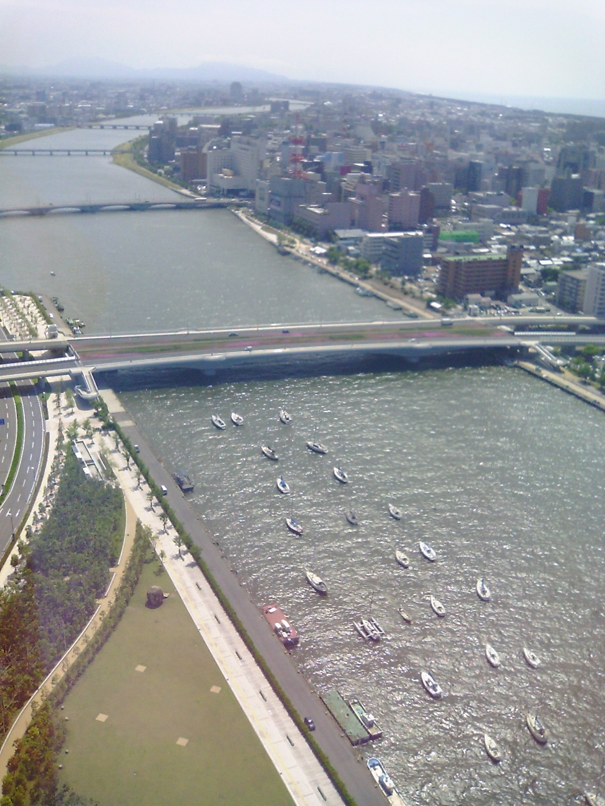
16 km³/yrBasin area 11,900 km² (4,595 square miles)  View from the air
The Shinano River (信濃川 Shinanogawa) is the longest and largest[1] river in Japan. It flows from Nagano Prefecture to Niigata Prefecture. It is called the Chikuma River (千曲川 Chikumagawa) in Nagano Prefecture.
The river rises from Mount Kobushi on the border of Saitama, Yamanashi and Nagano, and flows to the northwest and meets the Sai River from Matsumoto. Kawanakajima (川中島), the junction of the Chikuma and the Sai, is the historic site where the Battles of Kawanakajima broke out. It turns to the northeast and empties into the Sea of Japan at Niigata City.
In 1922, the Ōkōzu Canal (大河津分水路 Ōkōzu Bunsuiro) was built to defend Niigata from floods. It enabled the Niigata Plains to be filled with rich rice fields.
External links
Coordinates: 37°23′17″N 138°48′39″E / 37.38806°N 138.81083°E
Categories:- Rivers of Nagano Prefecture
- Nagano geography stubs
- Niigata geography stubs
Wikimedia Foundation. 2010.