- Mount Bandai
-
Mount Bandai 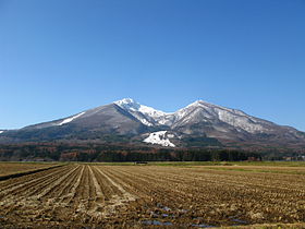
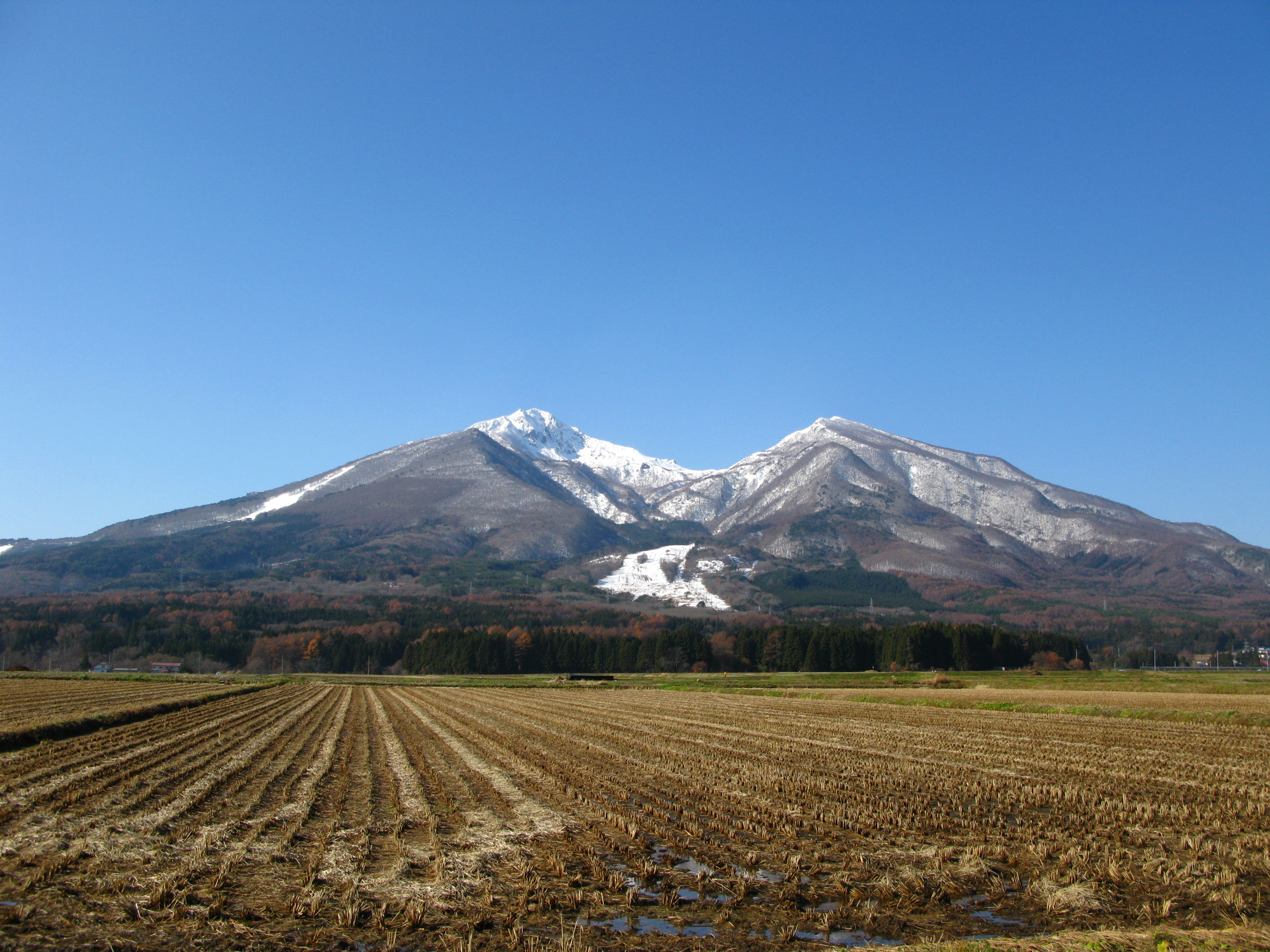
Mount Bandai rises above rice fields.Elevation 1,819 m (5,968 ft) Listing 100 famous mountains in Japan Location Fukushima Prefecture, Tōhoku region, Honshū, Japan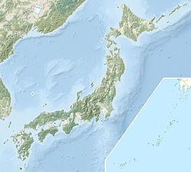
 Mount Bandai
Coordinates 37°36′03″N 140°04′20″E / 37.60083°N 140.07222°ECoordinates: 37°36′03″N 140°04′20″E / 37.60083°N 140.07222°E Geology Type Stratovolcano Last eruption 1888 Climbing Easiest route Hiking Mount Bandai (磐梯山 Bandai-san), also known as Aizu-Bandai-san (会津磐梯山), Aizu-Fuji (会津富士), and Aizu-ne (会津嶺), is a stratovolcano in Fukushima Prefecture, Japan.
In a major eruption on July 15, 1888[1] the north and east parts of the caldera collapsed in a massive landslide, forming two lakes, Hibara-ko and Onogawa-ko, as well as several minor lakes called Goshiki-numa, or the 'Five Coloured Lakes'.
The lake district formed by this cataclysm became known variously as Urabandai or Bandai-kōgen, and has become a tourist destination.
This last eruption was particularly tremendous and completely reshaped its vicinity. All the surrounding villages were destroyed, killing 461 people and burning another 70.[citation needed] Volcanic debris blocking nearby rivers created lakes and ponds.
Contents
Climbing Mount Bandai
There are six major routes up Mount Bandai.
- Inawashiro Tozankō (猪苗代登山口)
- Okinajima Tozankō (翁島登山口)
- Hapōdai Tozankō (八方台登山口)
- Urabandai Tozankō (裏磐梯登山口)
- Kawakami Tozankō (川上登山口)
- Shibutani Tozankō (渋谷登山口)
See also
 Media related to Mount Bandai at Wikimedia Commons
- List of volcanoes in Japan
- List of the 100 famous mountains in Japan
- 1888 Eruption of Mount Bandai
Notes
- ^ Rowthorn C., page 454
References
- "Bandai". Global Volcanism Program, Smithsonian Institution. http://www.volcano.si.edu/world/volcano.cfm?vnum=0803-16=.
- Rowthorn, Chris (2005). Japan. Lonely Planet. ISBN 1740599241
- Fukushima Kenjin of Brazil

This Fukushima Prefecture location article is a stub. You can help Wikipedia by expanding it.