- Mount Nekomadake
-
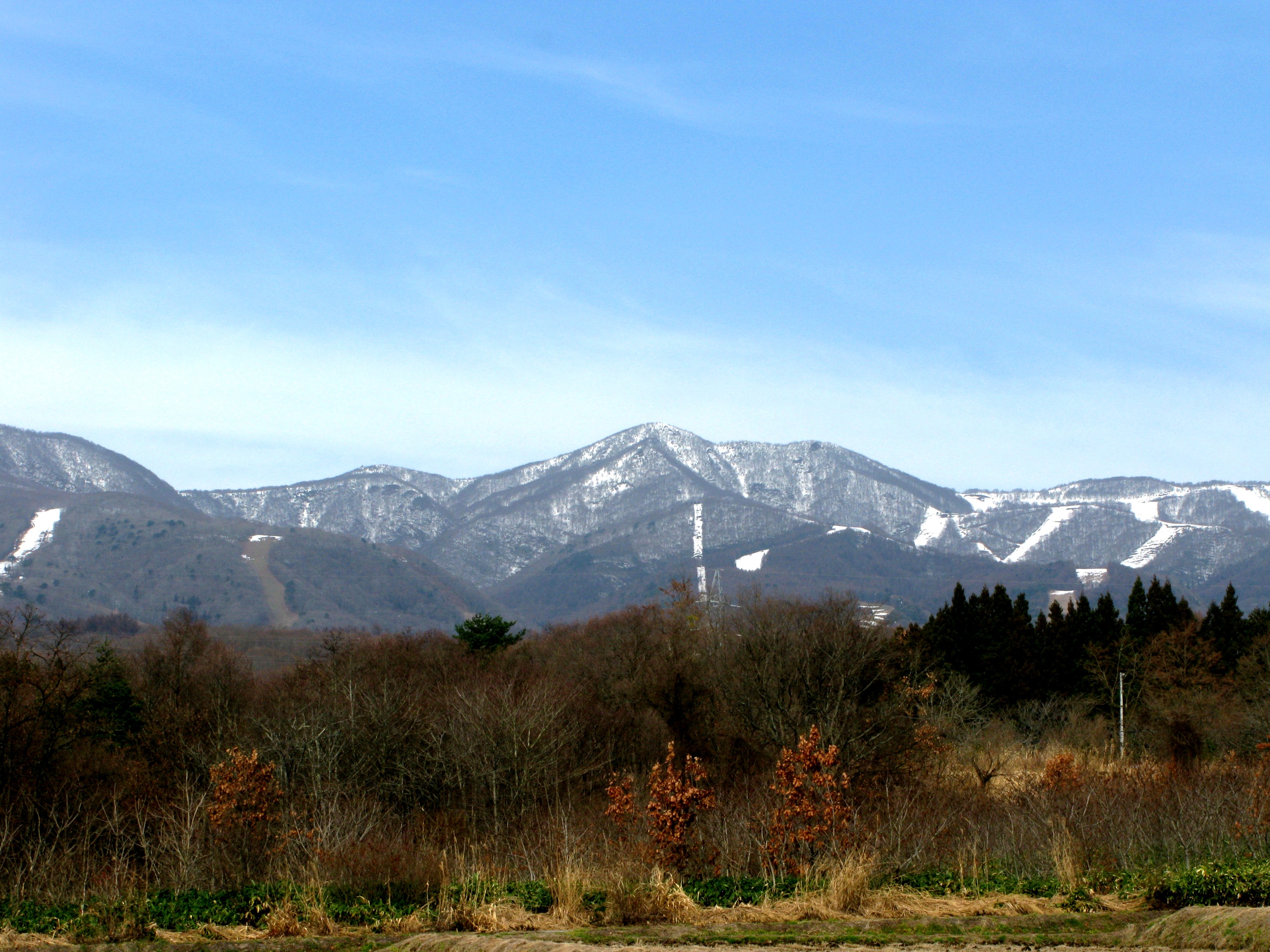
Mount Nekomadake (Mt. Nekomagadake) 猫魔ヶ岳 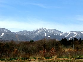
Mt. Nekomagadake in winterElevation 1,403.6 m (4,605 ft) Location Location Honshū, Japan Coordinates 37°36′41.9″N 140°01′42.1″E / 37.611639°N 140.028361°ECoordinates: 37°36′41.9″N 140°01′42.1″E / 37.611639°N 140.028361°E Geology Type Stratovolcano-Caldera Climbing Easiest route Happōdai Tozanguchi
(八方台登山口)Mount Nekomadake (猫魔ヶ岳 Nekoma-dake, Nekoma-gadake) is a stratovolcano located west of Mount Bandai, close to Bandai town and Kitashiobara village in the Fukushima Prefecture, Japan. It is 1,403.6 metres high, and close to Lake Inawashiro and Oguni-numa Pond.

This Fukushima Prefecture location article is a stub. You can help Wikipedia by expanding it.