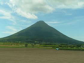
- Kaimondake volcano
-
Kaimondake 開聞岳 
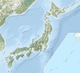
Elevation 924 m (3,031 ft) Location Kyūshū, Japan Coordinates 31°10′48″N 130°31′42″E / 31.18°N 130.52833°ECoordinates: 31°10′48″N 130°31′42″E / 31.18°N 130.52833°E Geology Type stratovolcano Last eruption 885[1] Kaimondake volcano (開聞岳 Kaimondake), also romanized as Kaimon-dake, situated in the Ibusuki volcanic region of southern Kyūshū, Japan, near Ibusuki is an undissected volcano which consists of a basal stratovolcano and a small central volcano. It rises 924 meters above sea level. Also known as 'Fuji of Satsuma'. The last eruption occurred in the year 885.
-
Mt.Kaimon & Lake Ikeda
See also
References
- "Ibusuki Volcanic Field". Global Volcanism Program, Smithsonian Institution. http://www.volcano.si.edu/world/volcano.cfm?vnum=0802-07=.

This Kagoshima Prefecture location article is a stub. You can help Wikipedia by expanding it.


