- Mount Iwaki
-
Mount Iwaki 岩木山 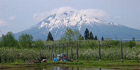
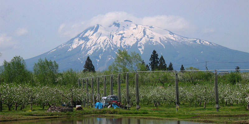
Mount Iwaki and apple orchardElevation 1,624.7 m (5,330 ft) Listing List of mountains and hills of Japan by height
List of volcanoes in JapanLocation Aomori Prefecture, Japan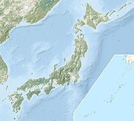
 Mount Iwaki
Coordinates 40°39′12″N 140°18′24″E / 40.65333°N 140.30667°ECoordinates: 40°39′12″N 140°18′24″E / 40.65333°N 140.30667°E Geology Type Stratovolcano Last eruption 1863 Mount Iwaki (岩木山 Iwaki-san) is a stratovolcano located in western Aomori Prefecture, Tohoku, Japan. It is also referred to as Tsugaru-Fuji from its shape.[1] the mountain is listed as one of the 100 Famous Japanese Mountains in a book composed in 1964 by mountaineer/author Kyūya Fukada.[2] The mountain and its surroundings are located within the borders of Tsugaru Quasi-National Park.
Contents
Geology
Mount Iwaki is a roughly symmetrical andesitic stratovolcano, rising in relative isolation from the plains at the base of Tsugaru Peninsula. Its summit crater is two kilometers wide, and it has three lava domes on the western and southern flanks. The mountain has frequently been active in historic times, with very frequent activity consisting mostly of small to moderate phreatic explosions during the Edo period. The last known eruption was on March 23, 1863. Hirosaki University has maintained an observatory with a total of 18 telemetering stations on the mountain since 1981.[3]
Climbing Mount Iwaki
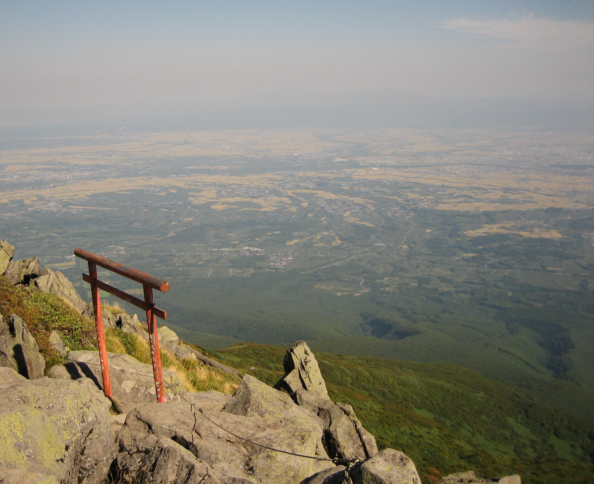
 From the summit of Mt Iwaki
The summit, at 1625 meters[4], can be reached only by hiking, but the length of the hike depends on the route. From Iwakiyama Shrine (岩木山神社), it takes approximately four hours to hike to the top[5]. The trail starts from inside the shrine, before the large gates on the left. The easier and more popular route follows a road up to a ski lift. The skyline road starts from Highway 3 on the SW side of Mount Iwaki. At the end of the road there is a chair lift. From the top of the chair lift to the summit takes around 20 minutes to walk.
Getting there
Like much of Aomori, the easiest way to get to Mount Iwaki is by car. The mountain is less than 20 miles (32 km) from Hirosaki, with Highway 3 to the south and west and Highway 30 to the east and north. Alternately, buses run from Hirosaki to the base of the mountain.
References
- ^ "Iwaki". Global Volcanism Program, Smithsonian Institution. http://www.volcano.si.edu/world/volcano.cfm?vnum=0803-27=.
- ^ Hyakumeizan, Hiking Japan!. Japan Gazetteer. Accessed June 27, 2008.
- ^ http://www.wovo.org/0803_27.html
- ^ "Touring Mapple 2007 (Tohoku region), Simap, 2007 (in Japanese)
- ^ Rowthorne, C. et al.: "Japan (8th edition)", Lonely Planet Publications, 2003
External links
- Mt. Iwaki Conservation Association - Jack the Lizard Wonder World, The story of Mt. Iwaki Conservation Association reported by Jack the Lizard.
Categories:- Volcanoes of Honshū
- Stratovolcanoes
- Mountains of Aomori Prefecture

Wikimedia Foundation. 2010.