- Mount Kurobegorō
-
Mount Kurobegorō 黒部五郎岳 
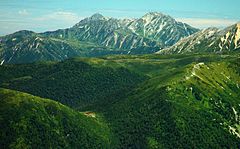
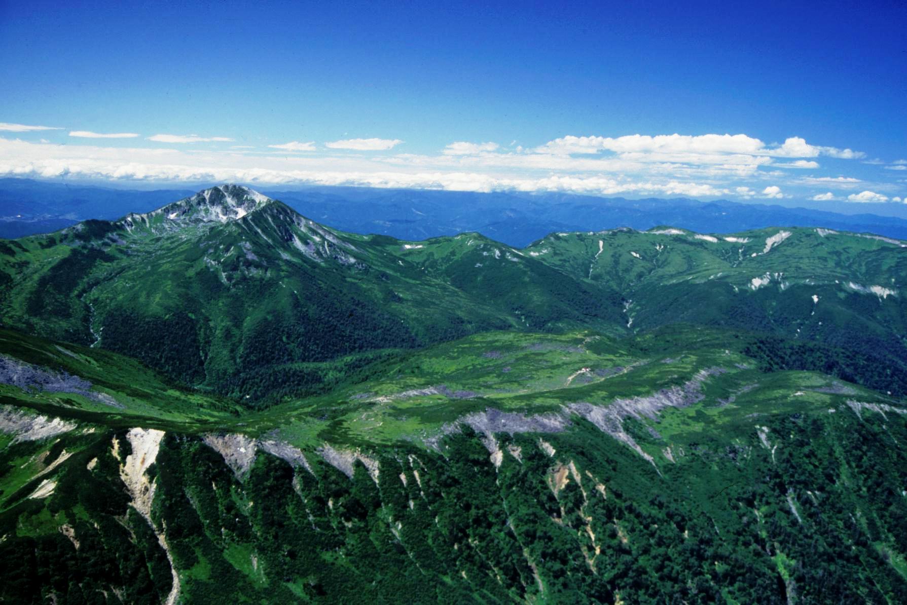
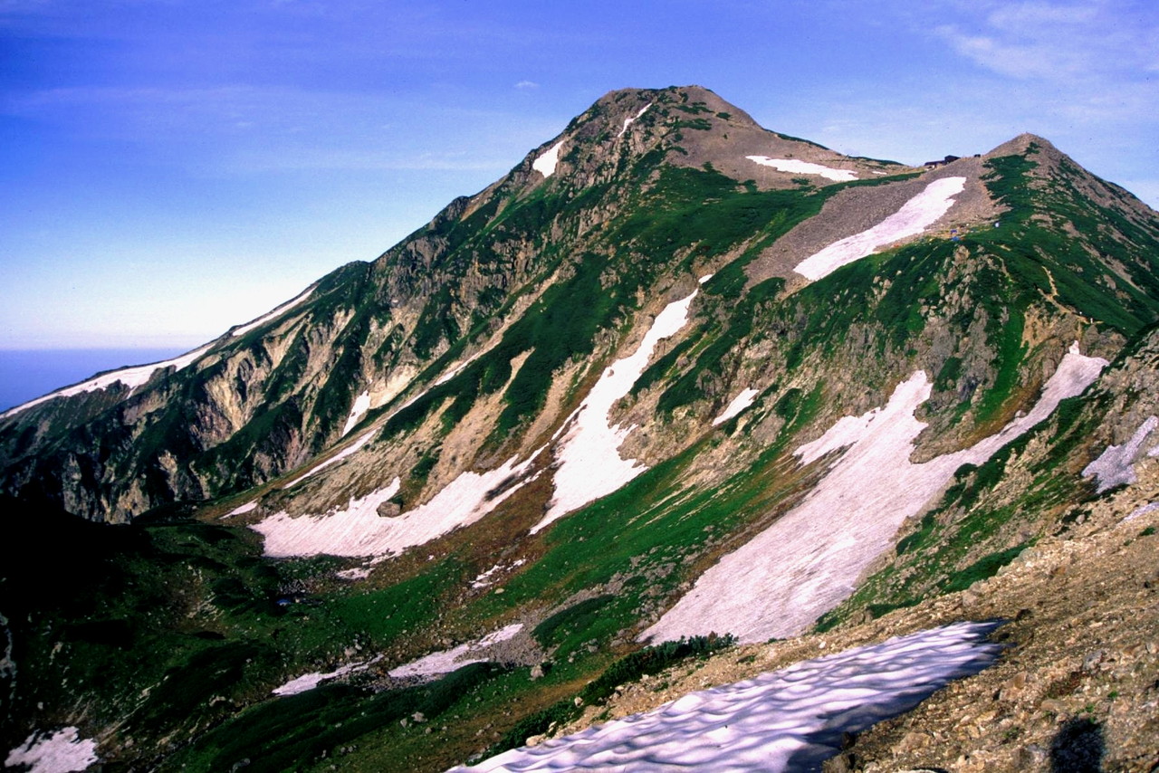
Mount Kurobegorō and Kumonotaira
seen from Mount SuishōElevation 2,897.48 m (9,506 ft) [1] Listing List of mountains in Japan
100 Famous Japanese MountainsPronunciation [ku͍ɽobeɡoroːdake] Location Takayama, Gifu Prefecture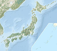

Hida, Gifu Prefecture
Toyama, Toyama Prefecture
Japan
Range Hida Mountains Coordinates 36°23′33″N 137°32′24″E / 36.3925°N 137.54°ECoordinates: 36°23′33″N 137°32′24″E / 36.3925°N 137.54°E[2] Topo map Geospatial Information Authority 25000:1 三俣蓮華岳[2]
50000:1 槍ヶ岳Climbing Easiest route Hike Mount Kurobegorō (黒部五郎岳 Kurobegorō-dake) is one of the 100 Famous Japanese Mountains,[3] reaching the height of 2,839.58 m (9,316 ft). It is situated in Japan's Hida Mountains in Gifu Prefecture and Toyama Prefecture. It was specified for Chūbu-Sangaku National Park on December 4, 1934.[4]
Contents
Outline
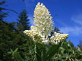
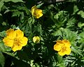
The origin of the mountain name is the meaning that the stone rolls. It is said "gōro" in Japanese. Also this mountain is located in the source part of the Kurobe River. Then it is called "Kurobe-Gorō".[3] In the hillside on the east side, there is big Cirque geographical features that is the hollow where the shovel was scooped out. The upper part of this mountain is situated in Tree line region, Siberian Dwarf Pine and Alpine plant grow naturally. There are quite a lot of kinds of alpine plant in the surrounding, and it is selected to "the 100 famous Japanese mountains of flower" by Sumie Tanaka.[5]
Mountaineering
In December 1931, Buntarō Katō of Japanese mountain climbers had climbed it alone.
Main ascent routes
There are several climbing routes to the top of the mountain.[6][7]
- Hietsu-shin-dō
- Kamioka-shin-dō
- Arimine-guchi
- The west Ginza diamond course (from Oritate – Mount Kurobegorō – to Mount Yari)
There are the Ridge line route and the Cirque route from Kurobegorō hut to the top.
Mountain hut
Thera are several Mountain hut around Mount Kurobegorō.[7]
- Kurobegorō hut (黒部五郎小舎 Kurobegorō-goya) – in the col between Mount Kurobegorō and Mount Mitsumatarenge (with Campsite)
- Tarōdaira hut (太郎平小屋 Tarōdaira-goya) – in the col between Mount Yakushi and Mount Tarō (with Campsite)
- Mitsumata mountain cottage (三俣山荘 Mitsumata-sansō) – in the col between Mount Mitsumatagenge and Mount Washiba (with Campsite)
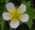
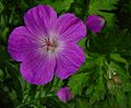
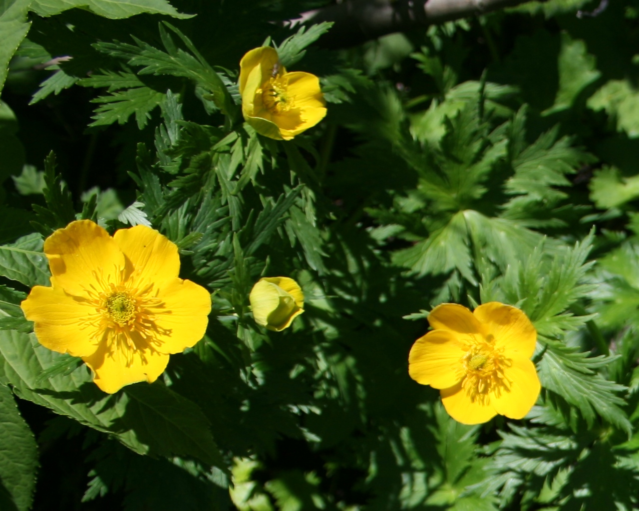
Alpine plant
A lot of Alpine plant are seen in the surrounding.
Lilium medeoloides Veratrum stamineum Trollius japonicus Geum pentapetalum Geranium yesoemse 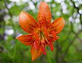
Geography
Nearby mountains
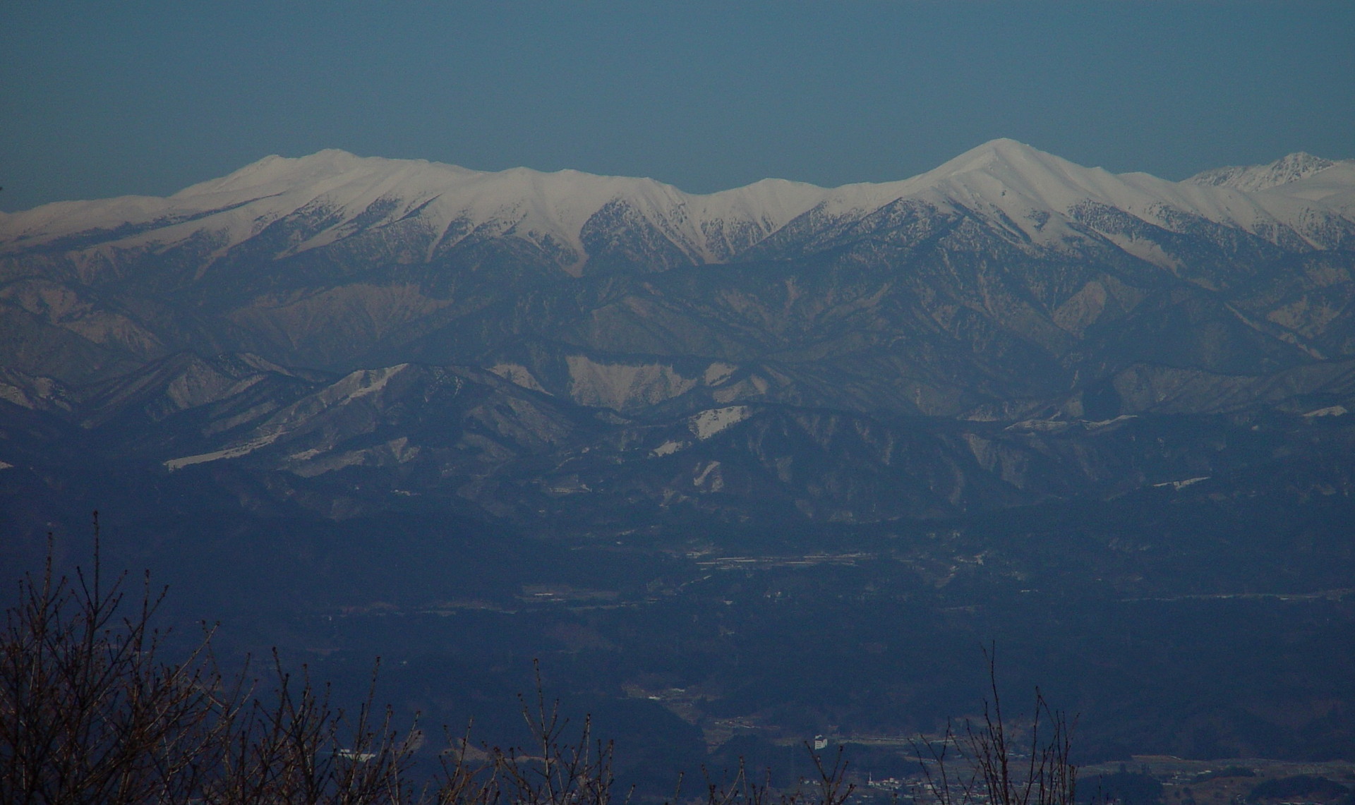
 Hida Mountains seen from Mount Kurai
Image Mountain Elevation Distance
from the TopNote 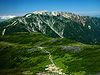
Mt. Yakushi
薬師岳2,926.01 m (9,600 ft) 8.5 km (5.3 mi) 100 Famous Japanese Mountains 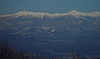
Mt. Kitanamata
北ノ俣岳2,662 m (8,734 ft) 4.0 km (2.5 mi) 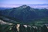
Mt. Kurobegorō
黒部五郎岳2,839.58 m (9,316 ft) 0 km (0.0 mi) 100 Famous Japanese Mountains 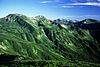
Mt. Mitsumatarenge
三俣蓮華岳2,841.23 m (9,322 ft) 4.3 km (2.7 mi) 300 Famous Japanese Mountains
Boundary of three prefectures
Toyama, Gifu and Nagano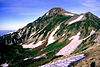
Mt. Kasa
笠ヶ岳2,897.48 m (9,506 ft) 0 km (0.0 mi) 100 Famous Japanese Mountains 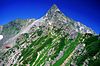
Mt. Yari
槍ヶ岳3,180 m (10,433 ft) 11.2 km (7.0 mi) 100 Famous Japanese Mountains Rivers
The mountain is the source of the following rivers, each of which flows to the Sea of Japan.[7]
- Nakanomata River (tributary of the Takahara River)
- Kanekido River (tributary of the Jōganji River)
- Uma River and Gorō River (tributaries of the Kurobe River)
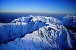
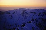
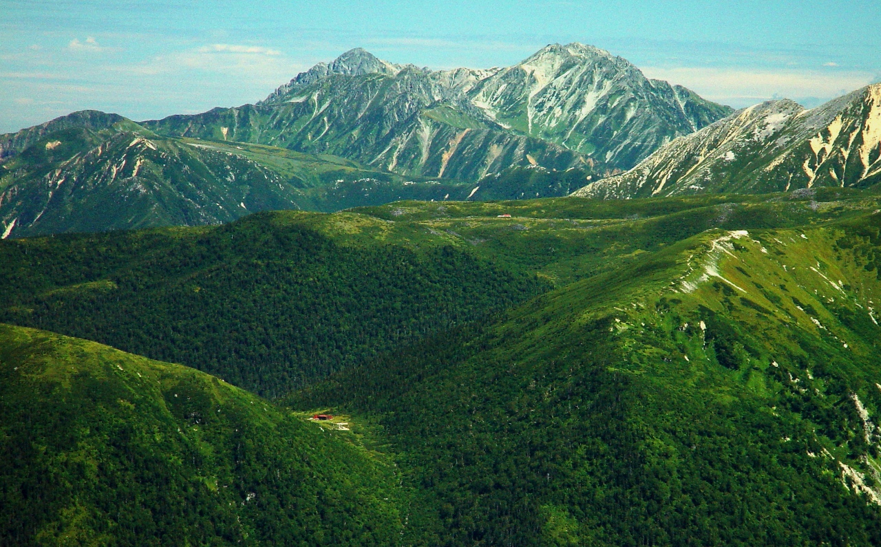
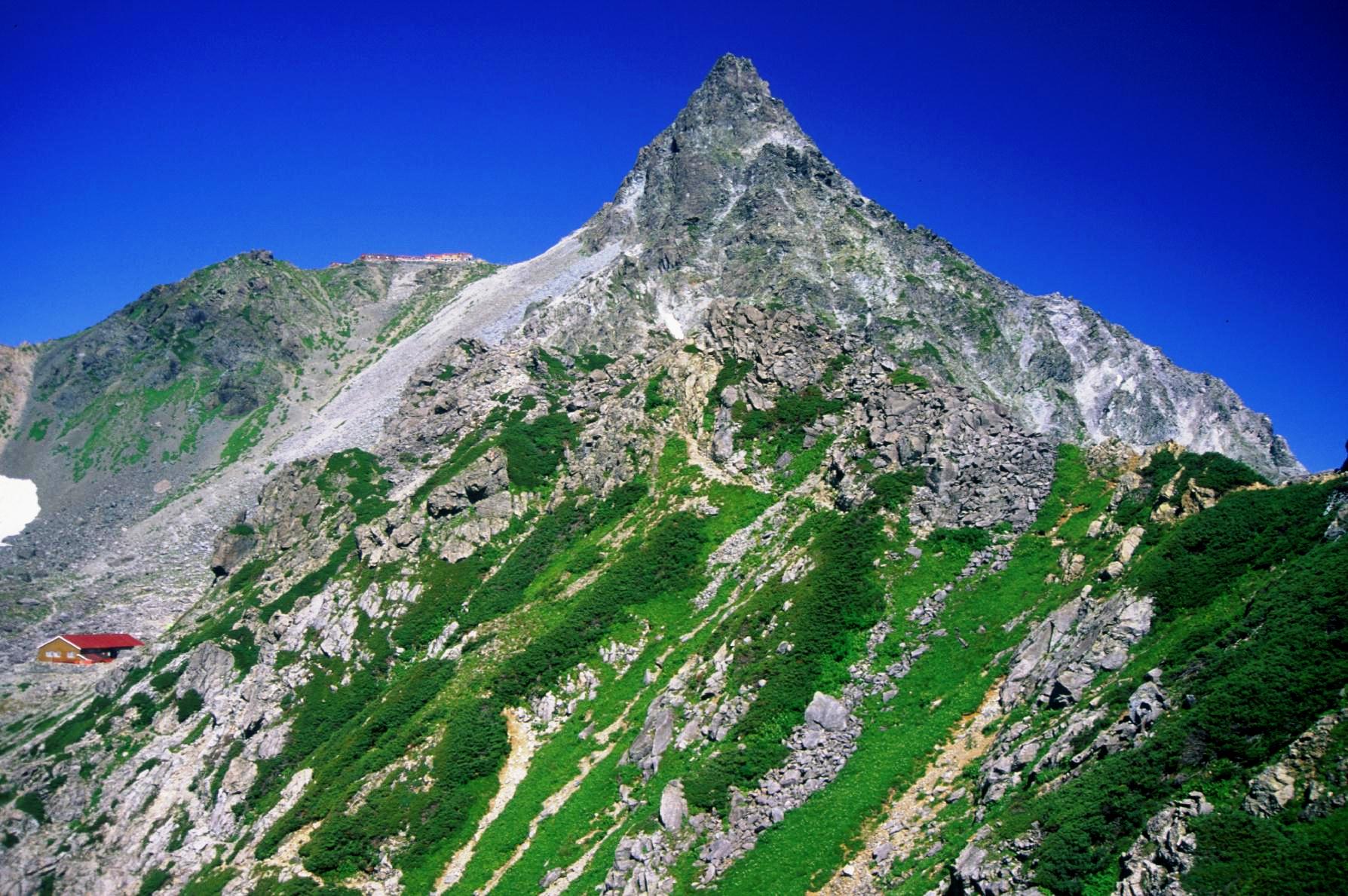
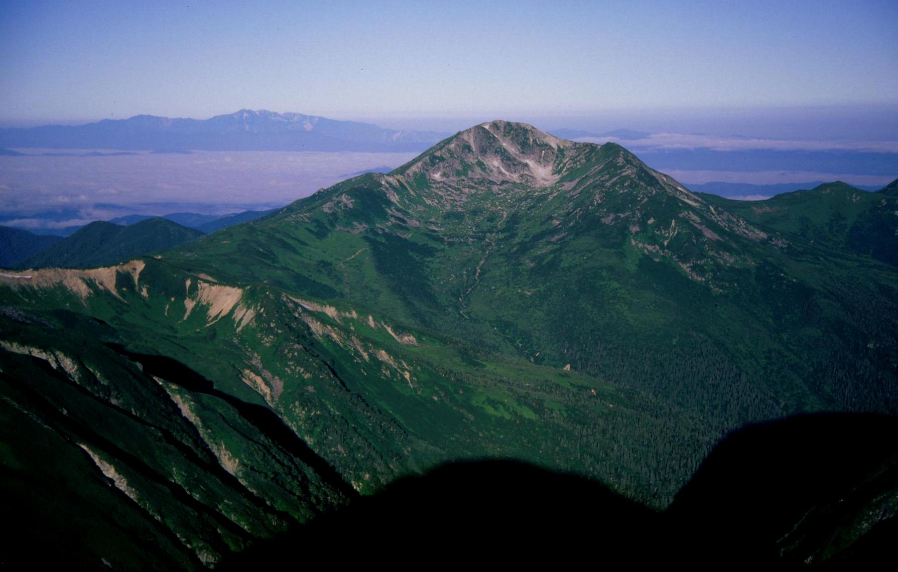
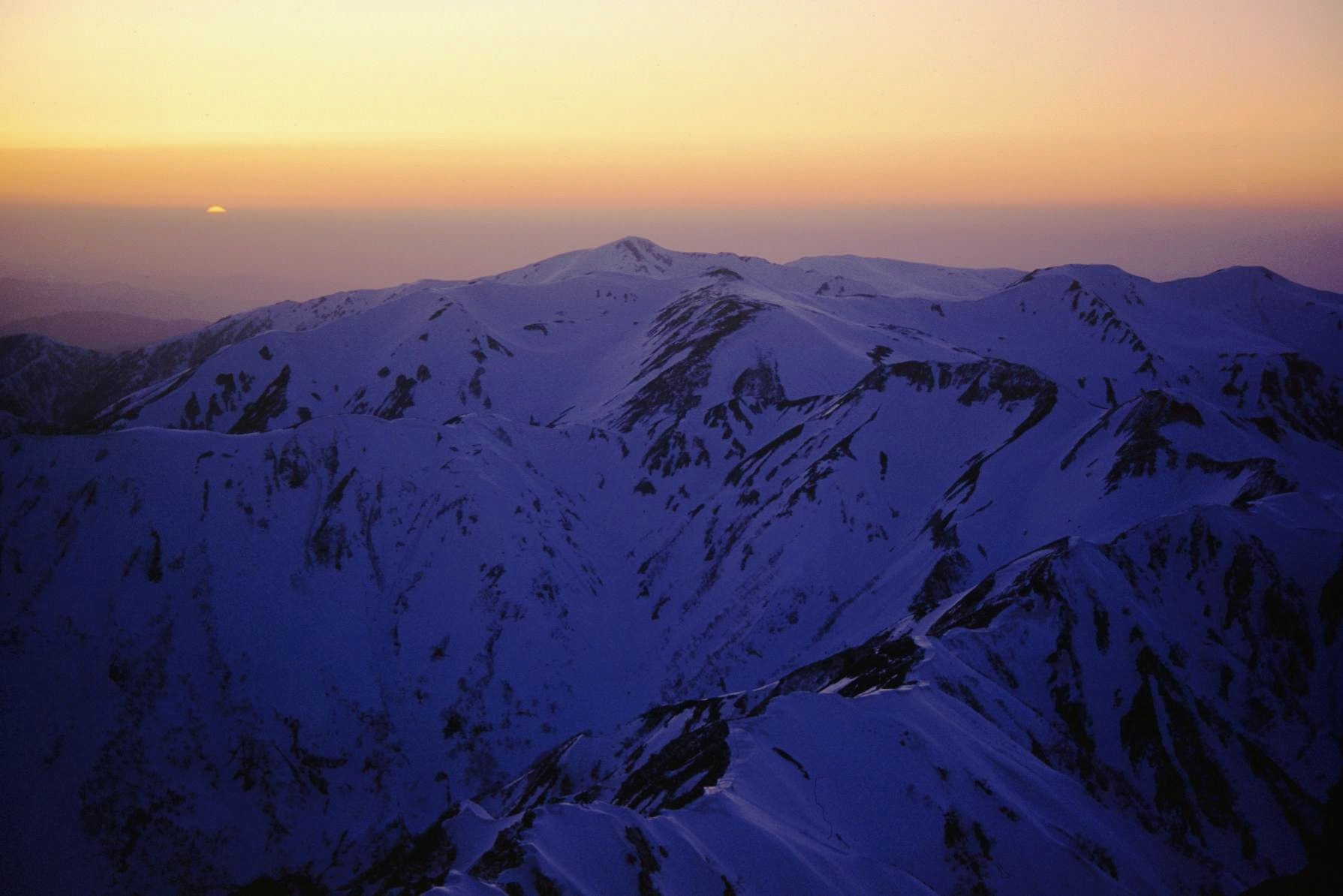
Scenery of Mount Kurobegorō
from Mt. Kasa from Mt. Washiba from Mt. Yari from Mt. Yari (sunset) 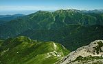

References
- ^ "Information inspection service of the Triangulation station" (in Japanese). Geospatial Information Authority of Japan,(高山-槍ヶ岳-三俣蓮華岳). http://sokuservice1.gsi.go.jp/datums/. Retrieved December 29, 2010.
- ^ a b "Map inspection service" (in Japanese). Geospatial Information Authority of Japan,(高山-槍ヶ岳-三俣蓮華岳). http://watchizu.gsi.go.jp/watchizu.html?longitude=137.5400&latitude=36.3925. Retrieved December 29, 2010.
- ^ a b "100 Famous Japanese Mountains" (in Japanese). Kyūya Fukada. The Asahi Shimbun Company,ISBN 4-02-260871-4,pp198-198. 1982.
- ^ "Chūbu-Sangaku National Park". Ministry of the Environment (Japan). http://www.env.go.jp/en/nature/nps/park/parks/chubu.html. Retrieved December 29, 2010.
- ^ "100 Famous Japanese Mountains of flower" (in Japanese). Sumie Tanaka. Bungeishunjū,ISBN ISBN 4-16-352790-7,pp221-224. 1995.
- ^ "Alpen guide Kamikōchi,Mount Yari and Mount Hotaka" (in Japanese). YAMA-KEI Publishers,ISBN 4-635-01319-7). 2000.
- ^ a b c "Mountain and plateau map of Mount Tsurugi and Mount Tate" (in Japanese). Shobunsha Publications,ISBN 978-4-398-75716-6. 2010.
See also
Categories:- Hida Mountains
- Mountains of Gifu Prefecture
- Mountains of Toyama Prefecture


Wikimedia Foundation. 2010.