- Mount Yake
-
Mount Yake 焼岳 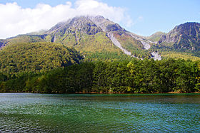
Mount Yake behind Lake TaishōElevation 2,455 m (8,054 ft) Translation Burnt mountain (Japanese) Location Takayama, Gifu Prefecture
 Mount Yake
Matsumoto, Nagano Prefecture
Japan
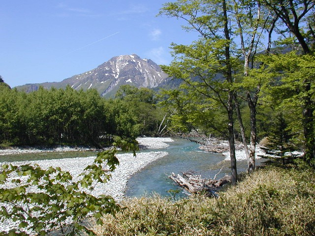
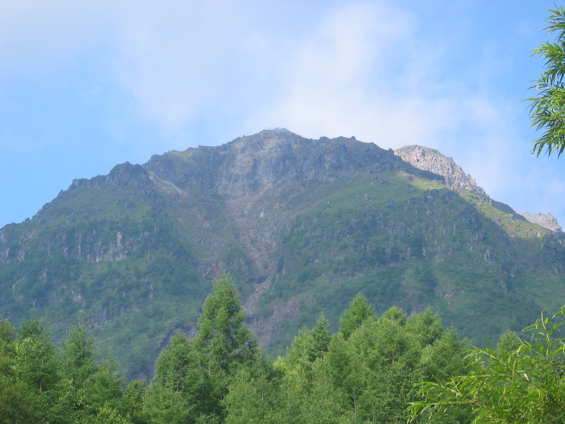
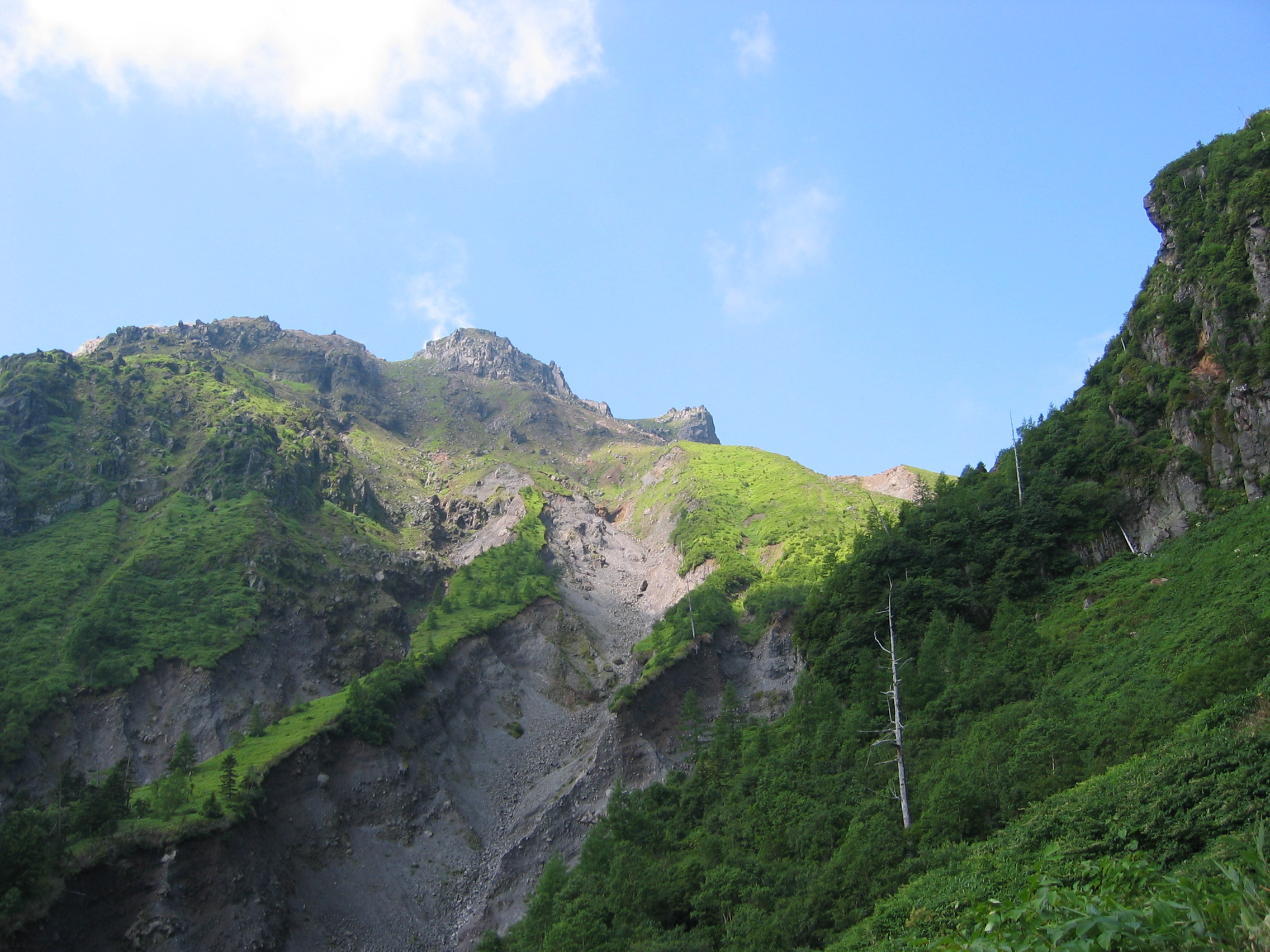
Range Hida Mountains Coordinates 36°13′37″N 137°35′13″E / 36.22694°N 137.58694°ECoordinates: 36°13′37″N 137°35′13″E / 36.22694°N 137.58694°E Geology Type Active stratovolcano Age of rock 20,000 years Last eruption 1995 Climbing Easiest route Hiking Mount Yake (焼岳 Yake-dake) is an active volcano in the Hida Mountains, lying between Matsumoto, Nagano Prefecture, and Takayama, Gifu Prefecture, Japan. It is one of the 100 Famous Japanese Mountains, reaching 2,455 m (8,054 ft) at the highest peak.
Contents
Geography
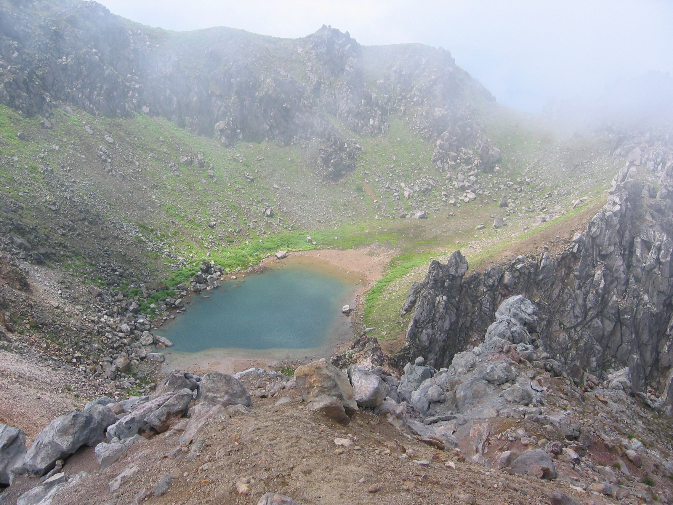
Mount Yake is the most active of all the volcanoes in the Hida Mountains. Its two main peaks are the northern and southern peaks, but visitors can only ascend to the northern peak, as the southern peak is currently a restricted area. A crater lake lies between the two peaks.
Because the lava flowing from Mount Yake has a high viscosity, it is easily able to build a lava dome.
The heat from the volcano produces many onsen in the surrounding area.
Eruptions
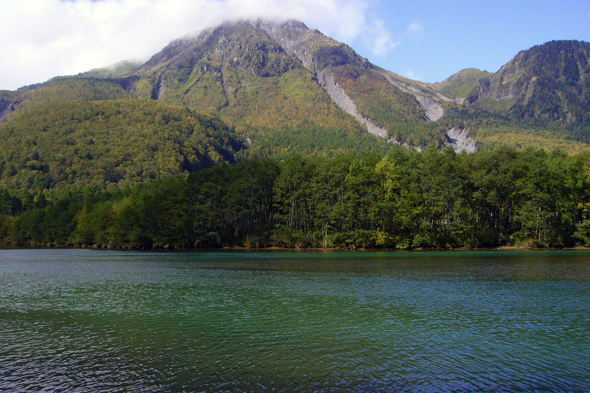
In 1911, 22 minor eruptions were recorded. In 1915, during the Taishō period, however, there was a major eruption. The flow of the lava blocked the Asuza River, which caused the river to form a lake that was named Lake Taishō.[1] The Asuza River is again flowing today, but the lake still remains.
In 1962, there was an eruption that killed two people staying at a small hut near the mouth of the volcano.[1]
In 1995, a tunnel was being constructed on the Nagano Prefecture side of the mountain, through Mount Akandana, which was thought to be part of Mount Yake. At 2:25pm on February 11, the workers encountered volcanic gases, which were quickly followed by a phreatic eruption on Mount Yake, leading to the death of four people. Later explorations have shown that Mount Akandana is an independent volcano.
There is still an active fumarole near the mountain's peak.
See also
References
- ^ a b Mount Yake Volcano Disaster Prevention. (Japanese) Ministry of Land, Infrastructure and Transport. Accessed June 30, 2008.
Categories:- Hida Mountains
- Mountains of Gifu Prefecture
- Visitor attractions in Gifu Prefecture
- Mountains of Nagano Prefecture
- Visitor attractions in Nagano Prefecture
- Volcanoes of Honshū
-

Wikimedia Foundation. 2010.