- Mount Jōnen
-
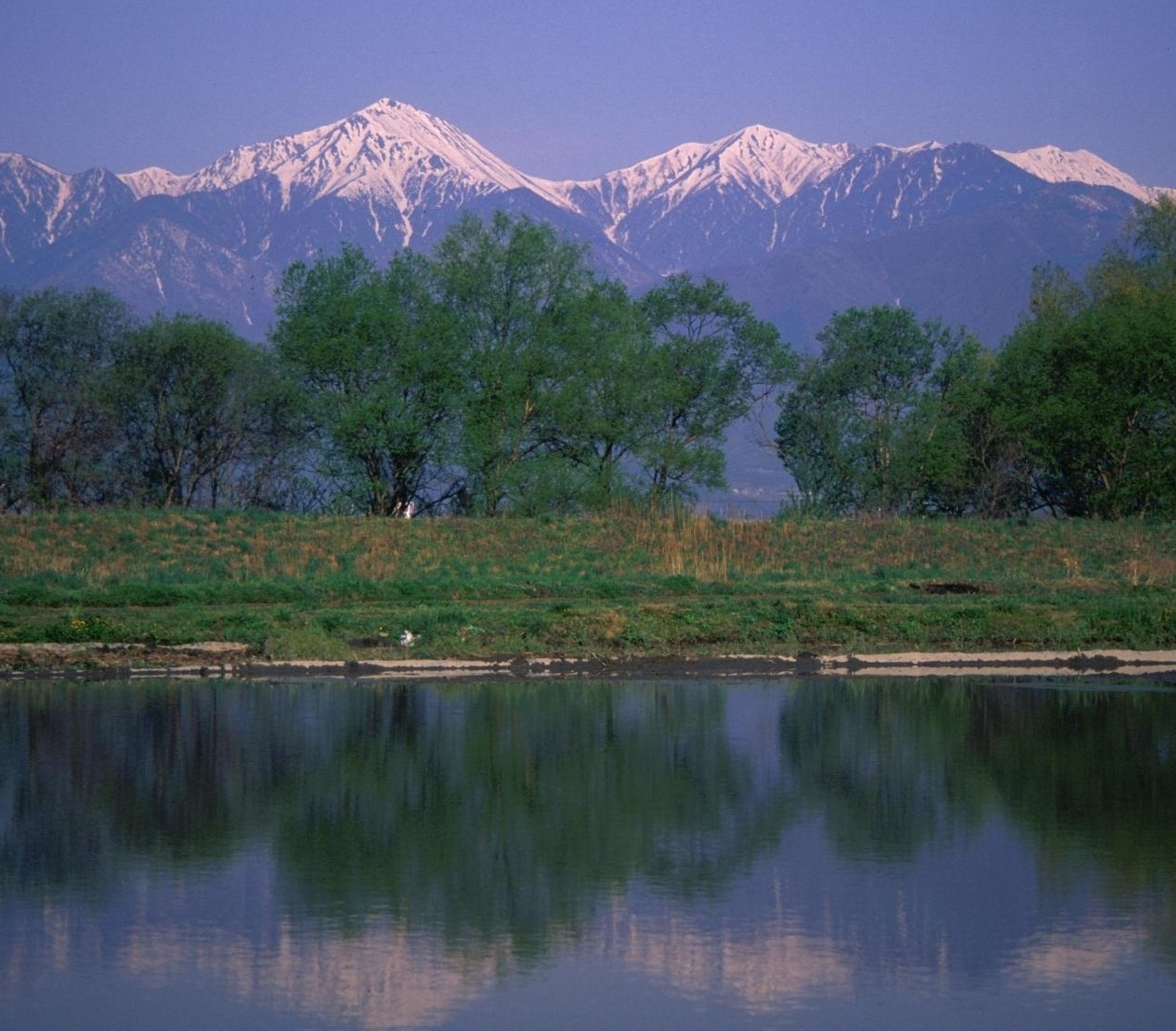
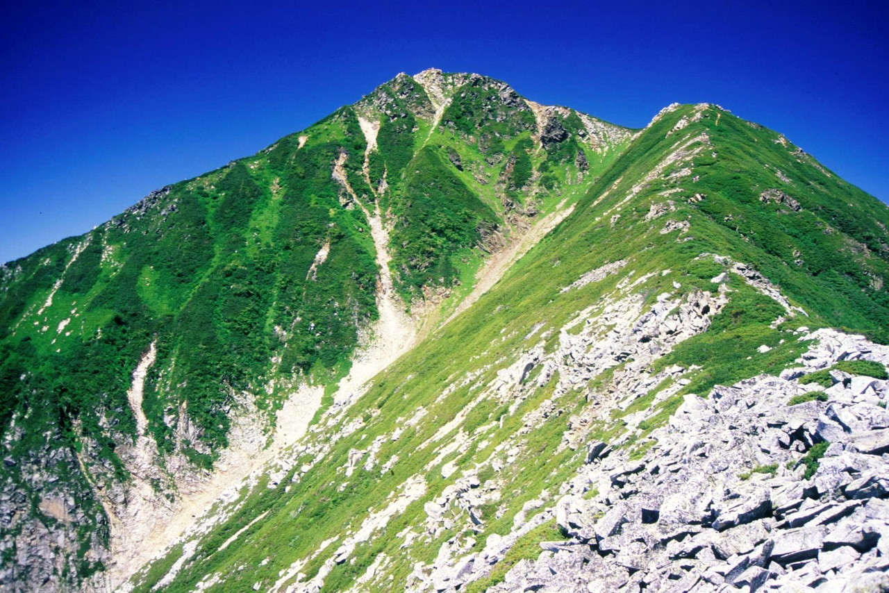
Mount Jōnen 常念岳 
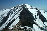
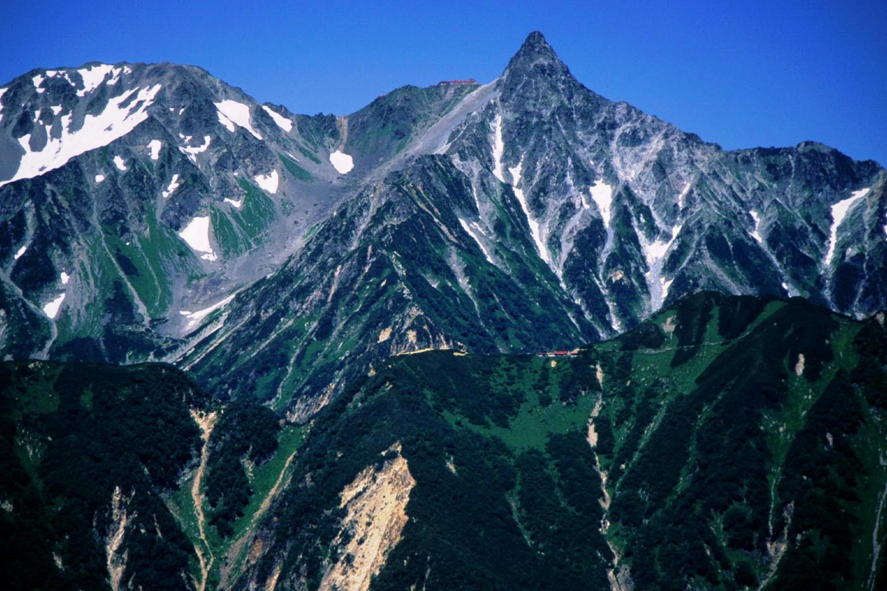
Mount Jōnen , Mount Yokotooshi and Azusa River
in spring from Azumi BasinElevation 2,857 m (9,373 ft) [1] Listing 100 Famous Japanese Mountains
List of mountains in JapanLocation Location Azumino, Nagano and Matsumoto, Nagano, Japan Range Jōnen Mountains in Hida Mountains Coordinates 36°19′32″N 137°43′39″E / 36.32556°N 137.7275°ECoordinates: 36°19′32″N 137°43′39″E / 36.32556°N 137.7275°E[2] Topo map Geospatial Information Authority 25000:1 穂高岳
50000:1 上高地Climbing First ascent Walter Weston in 1894
(Mountaineering)Mount Jōnen (常念岳 Jōnen-dake) is one of the 100 Famous Japanese Mountains[3], reaching the height of 2,857 m (9,373 ft)[1]. It is situated in Japan's Hida Mountains in Nagano Prefecture and in Chūbu-Sangaku National Park[4]. The shape of the mountain looks like the triangle. It can be seen from Azumi Basin.
Contents
Outline
This mountain is formed with Granite[5]. Before 1959 nine kinds of butterfly on high mountains can be seen around the mountain[6][7]. Colias erate and others can be seen now. The shape of the remaining snow of this mountain had decided the time when it farmed. The shape was called Jōnen-Bō (常念坊 Jōnen-Bō).
History
- 1894 summer - Englishman Walter Weston became the first man to climb on the top[5][8].
- 1906 summer - Usui Kojima became the first Japanese man to climb on the top[3].
- July 27, 1919 - Mountain hut of Jōnen Hut (常念小屋 Jōnen-goya) was opened [9].
- 1922 - Kyūya Fukada stayed at the Jōnen Hut, and climbed this mountain[3].
- June, 1931 - The double accident of the climbing mountain party and the rescue team was occurred[9].
- December 4, 1934 - This area was specified to the Chūbu-Sangaku National Park.[4]
- 1993 - Postage stamp of Jōnen Kasa with Matsumoto Castle was put on the market by the Ministry of Posts and Telecommunications (Japan)[10].
- May 28, 2007 - NHK broadcast the television program concerning Mount Jōnen in the series programs of excellent mountain in Japan[11].
- September 10, 2010 - NHK broadcast the television program concerning Mount Jōnen and the high mountain butterfly[7].
Mountaineering
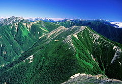
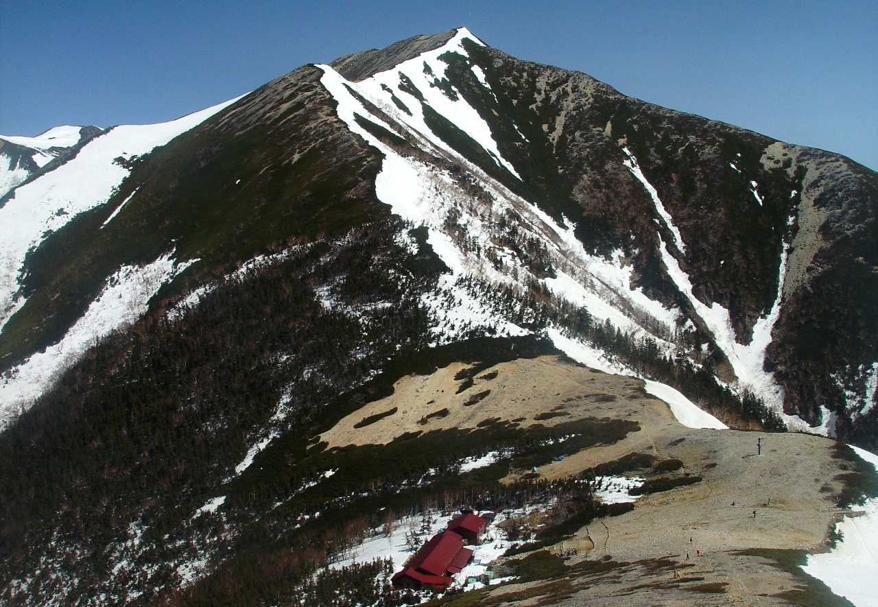
 Mount Jōnen, Jōnen Hut and the climbing trail from Mount Yokotooshi
Main ascent routes
There are three climbing routes to the top of the mountain[12][13].
- Ichino River route
- Hie-Daira - Ichino River (一ノ沢 Ichi-no-sawa) - Munatuki-hachō - Jōnen Hut(Jōnen-Nokkoshi) - Mount Jōnen
- Mount Mae-Jōnen (前常念岳 Mae-Jōnen-dake) route
- Mitsumata(三股) - Hon river - Mount Mae-Jōnen - Mount Jōnen
- Traverses Route of Jōnen Mountains (from north and south)
- There are several stating points to climb.(Kamikōchi, Tokusawa, Yokoo, Mitsumata, from Mount Otensuo, and others)
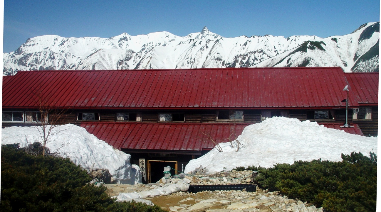
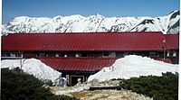 Jōnen Hut and Mount Yari in spring
Mountain hut
Thera are several Mountain hut around Mount Jōnen[13]. There is the Campsite on each hut.
- Jōnen Hut (常念小屋) - On the pass of Jōnen Pass (常念乗越 Jōnen-Nokkoshi) between Mount Jōnen and Mount Yokotooshi. It is one of the oldest hut in Japan.
- Mount Chō Hut (蝶ヶ岳ヒュッテ) - Near the top of Mount Chō.
- Yokoo Mountain Cottage (横尾山荘) - In Yokoo most in the north of Kamikochi.
- Daiten Cottage (大天荘) - Near the top of Mount Otensyo.
Geography
Nearby Mountains
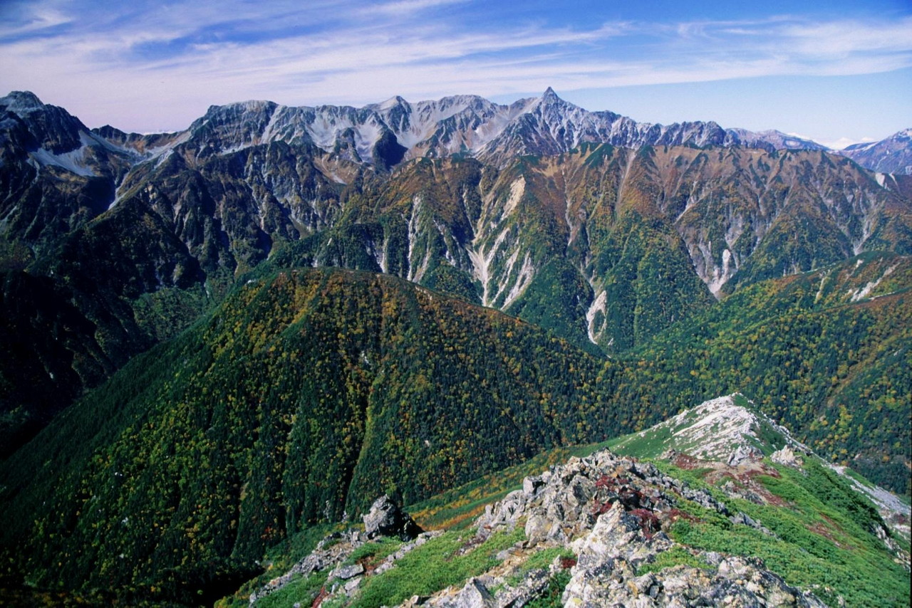
It is on the sub ridge line of Jōnen Mountains in the southeast part of the Hida Mountains. There is a small peak of Mount Mae-Jōnen in the southeast by east[13].
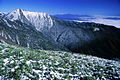
 Mount Yokotooshi and Mount Otensyo
from Mount Jōnen
Image Mountain Elevation Distance
from the TopNote 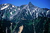
Mt. Yari
槍ヶ岳3,180 m (10,433 ft) 7.4 km (4.6 mi) 100 Famous 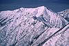
Mt. Otensyo
大天井岳2,921.91 m (9,586 ft) 5.0 km (3.1 mi) tallest mountain
in Jōnen Mountains
200 Famous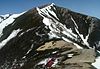
Mt. Yokotooshi
横通岳2,766.99 m (9,078 ft) 1.9 km (1 mi) 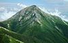
Mt. Jōnen
常念岳2,857 m (9,373 ft) 0 km (0.0 mi) 100 Famous 
Mt. Mae-Jōnen
前常念岳2,661.78 m (8,733 ft)[14] 2.0 km (1.2 mi) 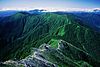
Mt. Chō
蝶ヶ岳2,677 m (8,783 ft) 4.2 km (2.6 mi) 100 Famous 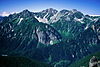
Mt. Hotaka
穂高岳3,190 m (10,466 ft) 8.2 km (5.1 mi) tallest mountain
in Hida Mountains
100 FamousRiver of source
The each River of the source joins the main stream of Shinano River, then flows to the Sea of Japan[13].
- Ichinomata Valley (Tributary of Azusa River)
- Jōnen River , Ichino River and Nino river (Tributary of Sai(Nagano) River)
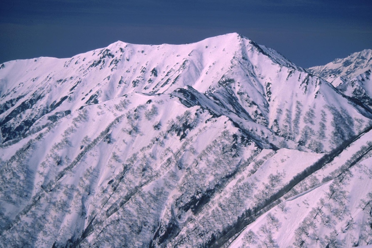
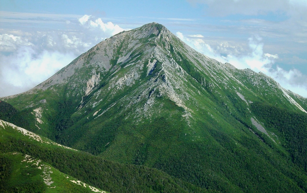
Gallery
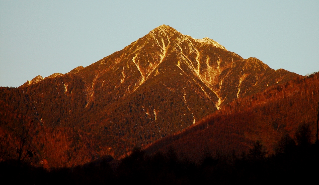
-

Mount Jōnen and Sunrise
from Mount Yari -
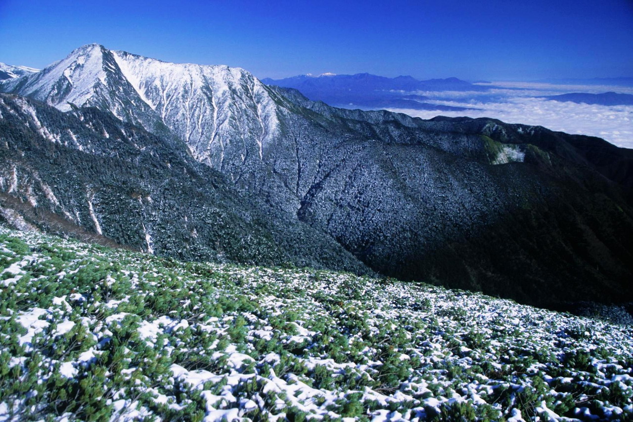
Mount Jōnen where it snowed
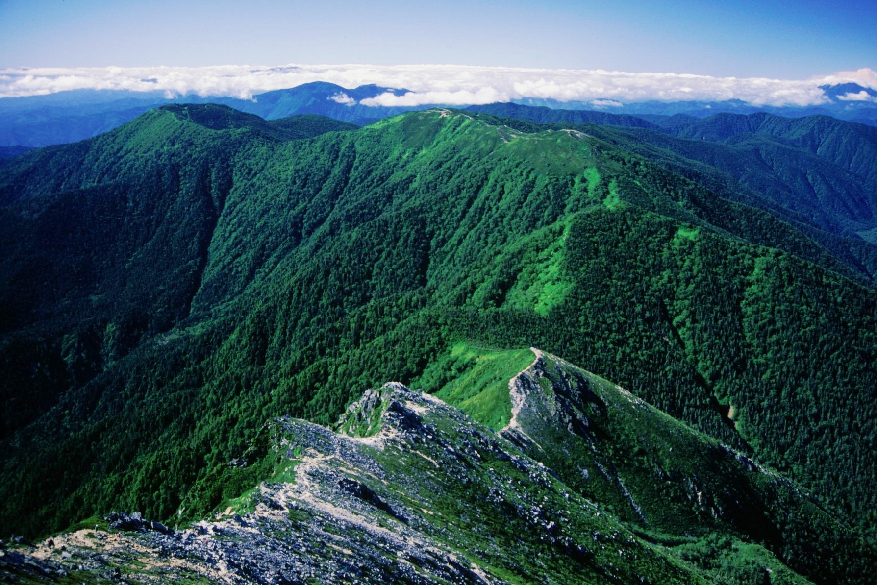
from Mount Chō -

Mount Jōnen in summer
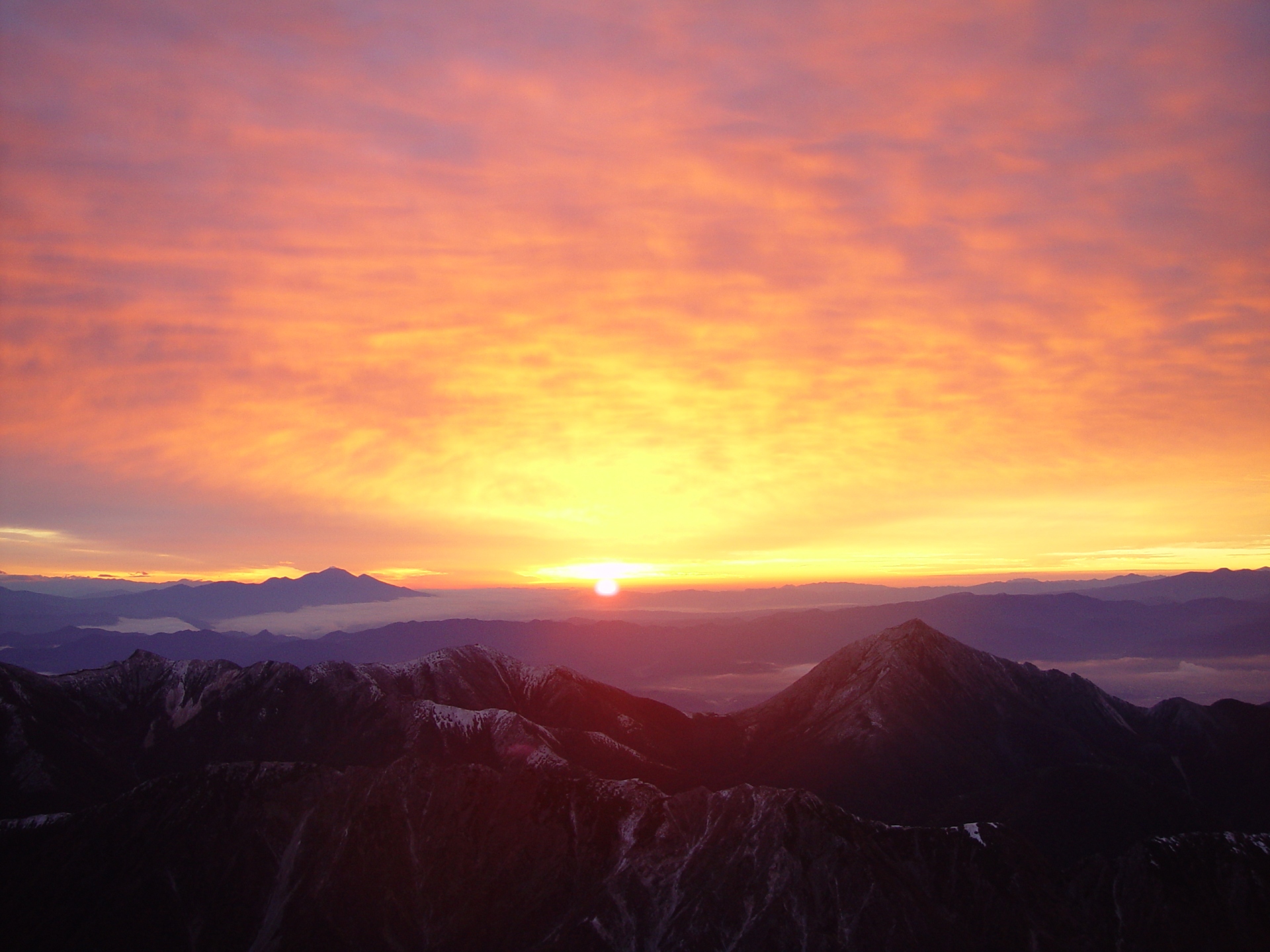
from Mount Mae-Jōnen -

Mount Yari that turned red in autumn
from Mount Jōnen
References
- ^ a b "Map inspection service of 25000:1 穂高岳". Geospatial Information Authority of Japan. http://watchizu.gsi.go.jp/watchizu.html?longitude=137.7275&latitude=36.3256. Retrieved December 2, 2010.
- ^ "Mountains altitude list in Japan(Nagano)". Geospatial Information Authority of Japan. http://www.gsi.go.jp/KOKUJYOHO/MOUNTAIN/mountain.html. Retrieved December 2, 2010.
- ^ a b c "100 Famous Japanese Mountains". The Asahi Shimbun Companyin,ISBN 4-02-260871-4. 1982.
- ^ a b "Chūbu-Sangaku National Park". Ministry of the Environment (Japan). http://www.env.go.jp/en/nature/nps/park/parks/chubu.html. Retrieved December 2, 2010.
- ^ a b "Dictionary of name of Japanese mountain(日本山名辞典)". Sanseido,ISBN 4-385-15403-1. 1992.
- ^ "1000 Japanese Mountains". YAMA-KEI Publishers,ISBN 4-635-09025-6. 1992.
- ^ a b "The back number of the program (Kita-Alps Mount Jōnen)". NHK. http://www.nhk.or.jp/sawayaka/contents/program/2010/9/20100911_jounen.html. Retrieved December 2, 2010.
- ^ "Mountaineeraing and exploration in Japanese alps, (in 1896 by Walter Weston)". translated into Japanese (日本アルプスの登山と探検),Iwanami Shoten, ISBN 4-00-334741-2. 2005 new edition.
- ^ a b "The story of mountain huts in Northern Japanese Alps". Tokyo Shimbun,ISBN 4-808-30374-4. 1997.
- ^ "100 Famous Japanese Mountains with postmark of stamp with the scenery". Hukurōsha,ISBN 978-4-898-06276-0. 2007.
- ^ "Mount Jōnen on Eco channel of NHK". NHK. http://cgi4.nhk.or.jp/eco-channel/jp/movie/play.cgi?movie=j1646106_20070528_0006. Retrieved December 2, 2010.
- ^ "Alpen guide Kamikōchi,Mount Yari and Mount Hotaka (アルペンガイド)". YAMA-KEI Publishers,ISBN 4-635-01319-7. 2000.
- ^ a b c d "Mountain and plateau map, Mount Yari, Mount Hotaka and Kamikōchi (山と高原地図)". Shobunsha Publications,ISBN 978-4-398-75717-3. 2010.
- ^ "Information inspection service of the Triangulation station". Geospatial Information Authority of Japan,(高山-上高地). http://sokuservice1.gsi.go.jp/datums/. Retrieved December 2, 2010.
See also
Categories:- Hida Mountains
- Mountains of Nagano Prefecture


Wikimedia Foundation. 2010.