- Crockett, Texas
-
Crockett, Texas — City — Downtown Crockett, Texas Location of Crockett, Texas
Coordinates: 31°19′1″N 95°27′30″W / 31.31694°N 95.45833°WCoordinates: 31°19′1″N 95°27′30″W / 31.31694°N 95.45833°W Country  United States
State  Texas
TexasCounty Houston Government – Type Council-Manager – City Council Mayor Wayne Mask
Ansel Bradshaw
Robert Meadows
Nathan Gardner
R.B. (Jackie) Jones Jr.
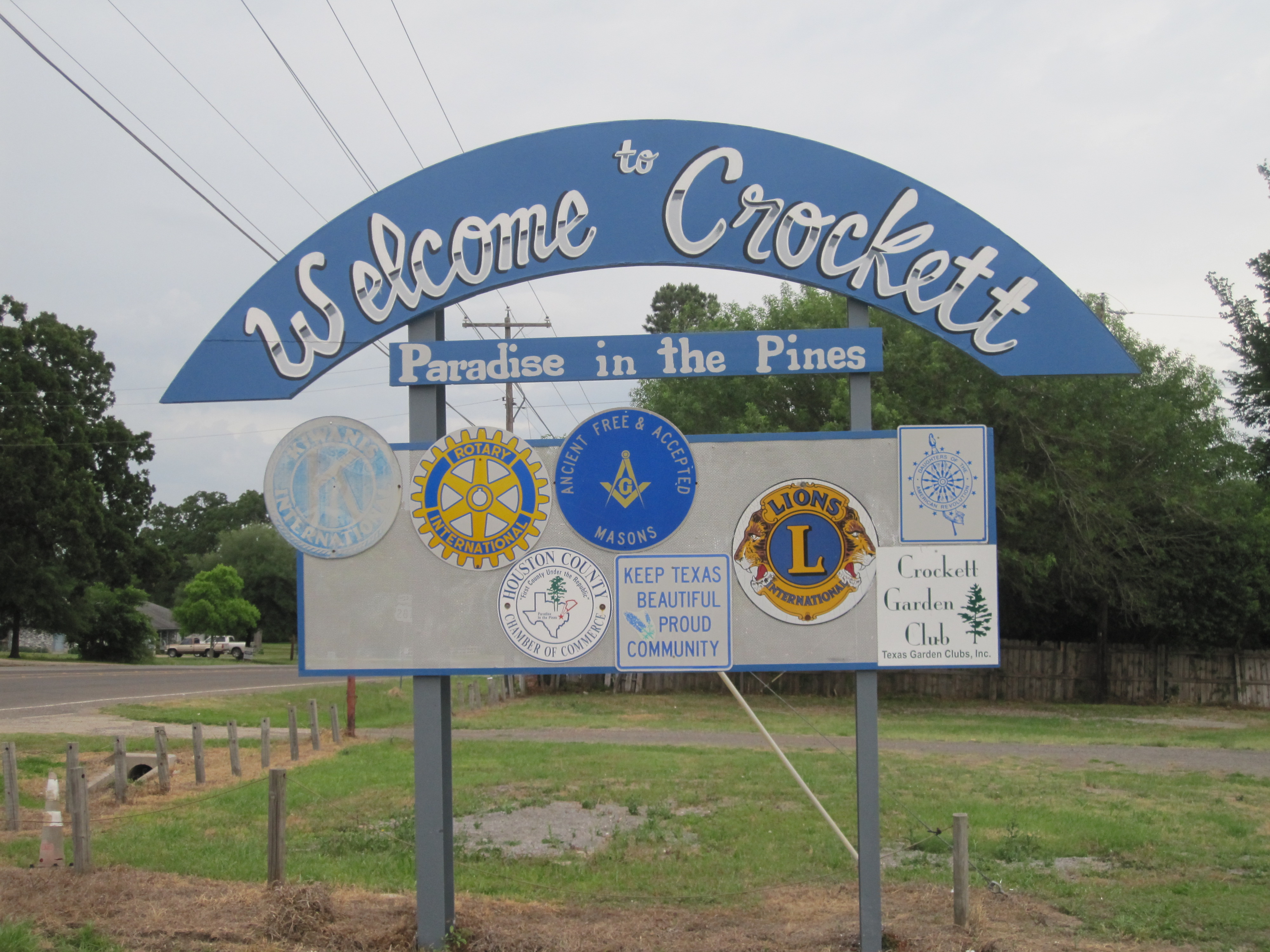
Bill Holcomb– City Manager Ron Duncan Area – Total 8.9 sq mi (23.0 km2) – Land 8.9 sq mi (23.0 km2) – Water 0.0 sq mi (0.0 km2) Elevation 364 ft (111 m) Population (2000) – Total 7,141 – Density 805.6/sq mi (311.0/km2) Time zone Central (CST) (UTC-6) – Summer (DST) CDT (UTC-5) ZIP code 75835 Area code(s) 936 FIPS code 48-17744[1] GNIS feature ID 1355365[2] Website crocketttexas.org  Welcome sign in Crockett: "Paradise of the Pines"

 First United Methodist Church in Crockett
 Monroe-Crook House in Crockett
 The Presbyterian Church in Crockett is located near the Monroe-Crook House.
 Fashionable home with Corinthian columns on Goliad Avenue in Crockett
 The Ritz Theater in downtown Crockett
Crockett is a city in Houston County, Texas, in the United States. As of the 2000 census, the city population was 7,141. It is the county seat of Houston County[3].
Contents
History
The town was named after Davy Crockett who reportedly had camped nearby on his way to the Alamo; the site was very near the Old San Antonio Road. A family from Tennessee donated the land for the town and named it after Crockett, whom they had previously known. The town was incorporated in 1837, and a post office was granted the following year. Crockett was connected to Nacogdoches by stage service. In 1839 raids by the Alabama-Coushatta and Cherokee Indians forced the town's residents to take shelter in the fortified log courthouse. Crockett was a training center for Confederate conscripts during the Civil War. The railroad came through in 1872 enabling Crockett to exploit the county's timber resources. By 1885 the town was thriving with a population of 1,200 and the following year a school was opened for black girls. It evolved into Mary Allen Junior College, which operated into the 1970s. In 1904 lignite mining started and it peaked about 1910. The stands of timber were seriously depleted by the 1920s. The population was over 3,000 in the mid 1920s and by 1936, it was nearly 4,500. The population of Crockett increased while most of East Texas declined after World War II. It reached 5,000 by the 1960 census.[4]
During this time, one of the first loop roads in the nation was built around the city. This traffic reliever was procured through the works of heavyweight politicians who called Crockett home. Loop 304 was built before those in Houston, Dallas/Ft. Worth, and San Antonio. Blues singer Lightnin' Hopkins was once arrested in Crockett, Texas. In recent years, the economy of Crockett has expanded with the construction of new retail space on Loop 304. Several historic buildings in downtown have been renovated to accommodate new office and service space. Renewed interest in reserves of natural gas in the surrounding area has led to construction of energy infrastructure and receipt of royalty revenues for land.
In 1854, A.T. Monroe, a grandnephew of U.S. President James Monroe came to Crockett from Virginia. He established what is now the Monroe-Crook House built with brick placed between the inner and outer walls. George W. Crook purchased the residence in 1911. The house, open for public tours, is located in front of the John H. Wooters Public Library in the same block as the Crockett Presbyterian Church.[5] The Presbyterian Church was established in 1854. The building was razed by a fire in 1926 and rebuilt.[6]
Government and infrastructure
The United States Postal Service operates the Crockett Post Office.[7]
The Texas Youth Commission operated the Crockett State School in Crockett.[8] The TYC announced that the facility will close by August 31, 2011.[9]
Geography
 The historic Strode-Pritchett Cabin was located to Crockett for the 1976 bicentennial. At the site is a painting of Davy Crockett by the artist Lucas Short.
 Another view of downtown Crockett
Crockett is located at 31°19′1″N 95°27′30″W / 31.31694°N 95.45833°W (31.317010, -95.458397)[10].
According to the United States Census Bureau, the city has a total area of 8.9 square miles (23 km2), all of it land.
The terrain of the town is hilly, and forested mostly with loblolly pine and pecan trees.
Demographics
As of the census[1] of 2000, there were 7,141 people, 2,672 households, and 1,747 families residing in the city. The population density was 805.6 people per square mile (311.2/km²). There were 3,081 housing units at an average density of 347.6 per square mile (134.3/km²). The racial makeup of the city was 48.54% White, 44.67% African-American, 0.36% Native American, 0.46% Asian, 0.14% Pacific Islander, 4.78% from other races, and 1.05% from two or more races. Hispanic or Latino of any race were 10.50% of the population.
There were 2,672 households out of which 31.1% had children under the age of 18 living with them, 38.5% were married couples living together, 23.3% had a female householder with no husband present, and 34.6% were non-families. 31.3% of all households were made up of individuals and 16.7% had someone living alone who was 65 years of age or older. The average household size was 2.46 and the average family size was 3.08.
In the city the population was spread out with 29.8% under the age of 18, 8.9% from 18 to 24, 23.1% from 25 to 44, 19.2% from 45 to 64, and 18.9% who were 65 years of age or older. The median age was 35 years. For every 100 females there were 85.5 males. For every 100 females age 18 and over, there were 75.5 males.
The median income for a household in the city was $21,455, and the median income for a family was $27,069. Males had a median income of $26,098 versus $18,674 for females. The per capita income for the city was $11,708. About 26.6% of families and 33.9% of the population were below the poverty line, including 44.6% of those under age 18 and 26.0% of those age 65 or over.
Education
The City of Crockett is served by the Crockett Independent School District. The Crockett Bulldogs are currently 2A in size under the UIL. Crockett also has "The Jordan School." This is a private school run under the Episcopal Church on Houston Ave. It currently serves Pre K-6th grade levels.
Notable people
- Les Beasley - Gospel music performer
- Jamie Easterly- Was a pitcher for the Atlanta Braves (1974–79), Milwaukee Brewers (1981–83) and Cleveland Indians (1983–87)
- Edd Hargett - Former American football quarterback for Texas A&M University who went on to play professionally for the NFL's New Orleans Saints and Houston Oilers; lost a race for U.S. Representative in a 1985 special election as a Republican
- Sam Hinton - Folk Music singer
- Eugene Lockhart - Dallas Cowboys linebacker from the 1980s
- A.T. Monroe - Grandnephew of U.S. President James Monroe; came to Crockett in 1854, established what is now the Monroe-Crook House.
- Kenny Rogers - Country music singer
- Jim Turner- Former U.S. Representative from Texas, Democrat
- Rain Phoenix - Actress, musician and singer (born in Crockett).
- River Phoenix - Actor (lived in Crockett).
References
- ^ a b "American FactFinder". United States Census Bureau. http://factfinder.census.gov. Retrieved 2008-01-31.
- ^ "US Board on Geographic Names". United States Geological Survey. 2007-10-25. http://geonames.usgs.gov. Retrieved 2008-01-31.
- ^ "Find a County". National Association of Counties. http://www.naco.org/Counties/Pages/FindACounty.aspx. Retrieved 2011-06-07.
- ^ Crockett Texas and Crockett Texas Hotels Motels
- ^ Texas Historical Commission, historical marker, Monroe-Crocck House, Crockett, Texas
- ^ Texas Historical Commission, Historical marker, Crockett Presbyterian Church
- ^ "Post Office Location - CROCKETT." United States Postal Service. Retrieved on August 8, 2010.
- ^ "Crockett State School." Texas Youth Commission. Retrieved on August 8, 2010.
- ^ "TYC Announces Closure of Three Facilities." Texas Youth Commission. Retrieved on July 3, 2011.
- ^ "US Gazetteer files: 2010, 2000, and 1990". United States Census Bureau. 2011-02-12. http://www.census.gov/geo/www/gazetteer/gazette.html. Retrieved 2011-04-23.
External links
- Official city website
- Interactive Community Website
- Crockett Area Chamber of Commerce Preview
- Houston County and Crockett Area Chamber of Commerce
- Find A Business in Crockett Texas
Municipalities and communities of Houston County, Texas Cities 
Unincorporated
communitiesAustonio | Cooper | Holly | Hopewell | Pennington | Ratcliff | Weldon
Ghost town Antioch
Footnotes !This populated place also has portions in an adjacent county or counties
County seats of Texas A B Baird · Ballinger · Bandera · Bastrop · Bay City · Beaumont · Beeville · Bellville · Belton · Benjamin · Big Lake · Big Spring · Boerne · Bonham · Boston · Brackettville · Brady · Breckenridge · Brenham · Brownfield · Brownsville · Brownwood · Bryan · BurnetC Caldwell · Cameron · Canadian · Canton · Canyon · Carrizo Springs · Carthage · Center · Centerville · Channing · Childress · Clarendon · Clarksville · Claude · Cleburne · Coldspring · Coleman · Colorado City · Columbus · Comanche · Conroe · Cooper · Corpus Christi · Corsicana · Cotulla · Crane · Crockett · Crosbyton · Crowell · Crystal City · CueroD E F Fairfield · Falfurrias · Farwell · Floresville · Floydada · Fort Davis · Fort Stockton · Fort Worth · Franklin · FredericksburgG Gail · Gainesville · Galveston · Garden City · Gatesville · George West · Georgetown · Giddings · Gilmer · Glen Rose · Goldthwaite · Goliad · Gonzales · Graham · Granbury · Greenville · Groesbeck · Groveton · GuthrieH Hallettsville · Hamilton · Haskell · Hebbronville · Hemphill · Hempstead · Henderson · Henrietta · Hereford · Hillsboro · Hondo · Houston · HuntsvilleJ K L M N O P Paducah · Paint Rock · Palestine · Palo Pinto · Panhandle · Paris · Pearsall · Pecos · Perryton · Pittsburg · Plains · Plainview · Port Lavaca · PostQ R Rankin · Raymondville · Refugio · Richmond · Rio Grande City · Robert Lee · Roby · Rockport · Rocksprings · Rockwall · RuskS San Angelo · San Antonio · San Augustine · San Diego · San Marcos · San Saba · Sanderson · Sarita · Seguin · Seminole · Seymour · Sherman · Sierra Blanca · Silverton · Sinton · Snyder · Sonora · Spearman · Stanton · Stephenville · Sterling City · Stinnett · Stratford · Sulphur Springs · SweetwaterT, U V, W, Z Van Horn · Vega · Vernon · Victoria · Waco · Waxahachie · Weatherford · Wellington · Wharton · Wheeler · Wichita Falls · Woodville · ZapataCategories:- County seats in Texas
- Cities in Texas
- Populated places in Houston County, Texas


Wikimedia Foundation. 2010.