- Dumas, Texas
-
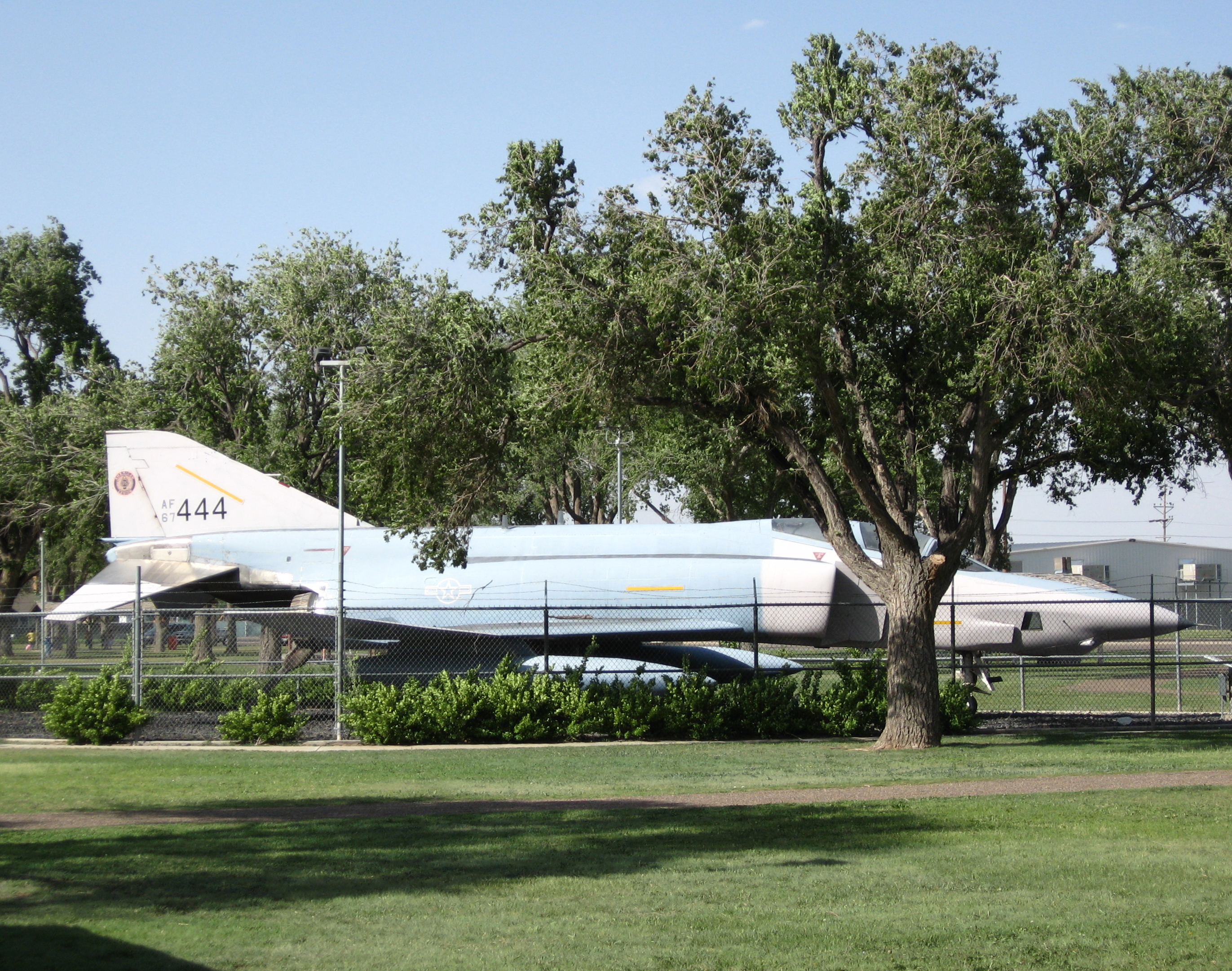
Dumas, Texas — City — An F-4 Phantom II in a recreational park in Dumas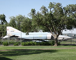 Location of Dumas, Texas

Coordinates: 35°51′45″N 101°58′1″W / 35.8625°N 101.96694°WCoordinates: 35°51′45″N 101°58′1″W / 35.8625°N 101.96694°W Country United States State Texas County Moore Area – Total 5.1 sq mi (13.3 km2) – Land 5.1 sq mi (13.3 km2) – Water 0.0 sq mi (0.0 km2) Elevation 3,661 ft (1,116 m) Population (2000) – Total 13,747 – Density 2,681.0/sq mi (1,035.1/km2) Time zone Central (CST) (UTC–6) – Summer (DST) CDT (UTC–5) ZIP code 79029 Area code(s) 806 FIPS code 48-21556[1] GNIS feature ID 1356433[2] Dumas is a city in Moore County, Texas, United States. The population was 13,747 at the 2000 census. It is the county seat of Moore County.[3] Located approximately fifty miles north of Amarillo, the city is named for its founder, Louis Dumas (1856–1923). Dumas Avenue, the main thoroughfare, is also United States Highways 287 and 87. The actor Chris Cooper, a native of Kansas City, Missouri, indicated that his parents were Texan-born and that his maternal great-grandfather was Louis Dumas.[citation needed]
Window on the Plains Museum, which offers exhibits on Moore County and the Texas Panhandle, is located on South Dumas Avenue, the main thoroughfare. Dumas is home to Moore County Airport, a general aviation airport 2-miles west of the central business district.[4]
The Dumas government claims, with some documentation, that the song "I'm a Ding Dong Daddy From Dumas" was written about the city.[5] Composed in the late 1920s by Phil Baxter (a native Texan who lived for a time in Dumas) and Carl Moore, the song has also sometimes been claimed by Dumas in Desha County in southeastern Arkansas.
Dumas is the home of veteran Republican State Representative David A. Swinford and the birth place of Joe "King" Carrasco.
On May 18, 2010, a multi-vortex supercell formed and spawned 2 large cone tornadoes just a few miles from the city.
Contents
Geography
Dumas is located at 35°51′45″N 101°58′1″W / 35.8625°N 101.96694°W (35.862478, -101.966931).[6]
According to the United States Census Bureau, the city has a total area of 5.2 square miles (13 km2), of which, 5.1 square miles (13 km2) of it is land and 0.04 square miles (0.10 km2) of it (0.39%) is water.
Demographics
As of the census[1] of 2000, there were 13,747 people, 4,755 households, and 3,675 families residing in the city. The population density was 2,681.0 people per square mile (1,034.6/km²). There were 5,119 housing units at an average density of 998.3 per square mile (385.3/km²). The racial makeup of the city was 78.09% White, 0.72% African American, 0.59% Native American, 1.16% Asian, 0.02% Pacific Islander, 26.73% from other races, and 2.68% from two or more races. Hispanic or Latino of any race were 32.74% of the population.
There were 4,755 households out of which 42.6% had children under the age of 18 living with them, 63.6% were married couples living together, 9.2% had a female householder with no husband present, and 22.7% were non-families. 19.7% of all households were made up of individuals and 9.4% had someone living alone who was 65 years of age or older. The average household size was 2.85 and the average family size was 3.29.
In the city the population was spread out with 32.3% under the age of 18, 8.9% from 18 to 24, 28.0% from 25 to 44, 18.7% from 45 to 64, and 12.1% who were 65 years of age or older. The median age was 31 years. For every 100 females there were 96.8 males. For every 100 females age 18 and over, there were 94.4 males.
The median income for a household in the city was $36,147, and the median income for a family was $39,652. Males had a median income of $30,833 versus $19,967 for females. The per capita income for the city was $16,180. About 8.7% of families and 12.8% of the population were below the poverty line, including 17.8% of those under age 18 and 9.7% of those age 65 or over.
Education
Dumas Independent School District serves Dumas.
Four separate elementary schools serve separate sections of Dumas:
- Green Acres Elementary School
- Hillcrest Elementary School
- Morningside Elementary School
- Sunset Elementary School
Dumas Independent School District also serves Cactus.
- Cactus Elementary School Cactus, Texas
All Dumas and Cactus children attend Dumas Junior High School and Dumas High School.
Amarillo College, a two-year fully accredited community college, has a branch campus in Dumas.
Gallery
-

Entrance sign to Dumas -

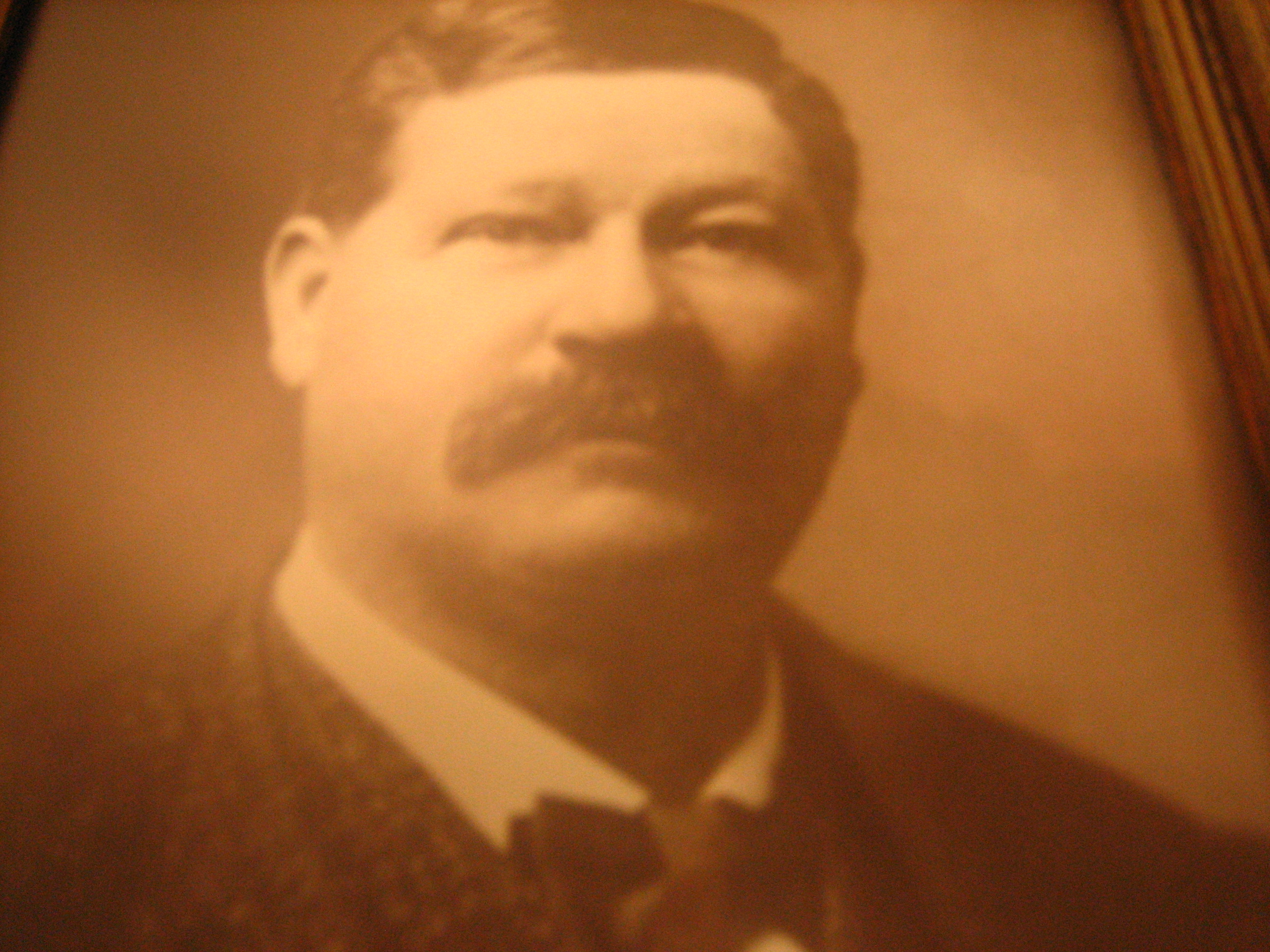
Louis Dumas (1856–1923), the founder of Dumas, ca. 1895 -

A view of downtown Dumas -
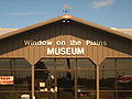
Entrance to Window on the Plains Museum in Dumas -

Dumas Visitor Center and Chamber of Commerce office on United States Highway 287 south -

The Dumas News-Press office; a local newspaper published Wednesdays and Saturdays -

Wind turbines south of Dumas -

The First Baptist Church of Dumas
References
- ^ a b "American FactFinder". United States Census Bureau. http://factfinder.census.gov. Retrieved 2008-01-31.
- ^ "US Board on Geographic Names". United States Geological Survey. 2007-10-25. http://geonames.usgs.gov. Retrieved 2008-01-31.
- ^ "Find a County". National Association of Counties. http://www.naco.org/Counties/Pages/FindACounty.aspx. Retrieved 2011-06-07.
- ^ FAA Airport Master Record for DUX (Form 5010 PDF), effective 2010-06/25
- ^ http://www.ci.dumas.tx.us/legend.htm
- ^ "US Gazetteer files: 2010, 2000, and 1990". United States Census Bureau. 2011-02-12. http://www.census.gov/geo/www/gazetteer/gazette.html. Retrieved 2011-04-23.
External links
Municipalities and communities of Moore County, Texas Cities 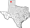
Unincorporated
communityFootnotes ‡This populated place also has portions in an adjacent county or counties
County seats of Texas A B Baird · Ballinger · Bandera · Bastrop · Bay City · Beaumont · Beeville · Bellville · Belton · Benjamin · Big Lake · Big Spring · Boerne · Bonham · Boston · Brackettville · Brady · Breckenridge · Brenham · Brownfield · Brownsville · Brownwood · Bryan · BurnetC Caldwell · Cameron · Canadian · Canton · Canyon · Carrizo Springs · Carthage · Center · Centerville · Channing · Childress · Clarendon · Clarksville · Claude · Cleburne · Coldspring · Coleman · Colorado City · Columbus · Comanche · Conroe · Cooper · Corpus Christi · Corsicana · Cotulla · Crane · Crockett · Crosbyton · Crowell · Crystal City · CueroD E F Fairfield · Falfurrias · Farwell · Floresville · Floydada · Fort Davis · Fort Stockton · Fort Worth · Franklin · FredericksburgG Gail · Gainesville · Galveston · Garden City · Gatesville · George West · Georgetown · Giddings · Gilmer · Glen Rose · Goldthwaite · Goliad · Gonzales · Graham · Granbury · Greenville · Groesbeck · Groveton · GuthrieH Hallettsville · Hamilton · Haskell · Hebbronville · Hemphill · Hempstead · Henderson · Henrietta · Hereford · Hillsboro · Hondo · Houston · HuntsvilleJ K L M N O P Paducah · Paint Rock · Palestine · Palo Pinto · Panhandle · Paris · Pearsall · Pecos · Perryton · Pittsburg · Plains · Plainview · Port Lavaca · PostQ R Rankin · Raymondville · Refugio · Richmond · Rio Grande City · Robert Lee · Roby · Rockport · Rocksprings · Rockwall · RuskS San Angelo · San Antonio · San Augustine · San Diego · San Marcos · San Saba · Sanderson · Sarita · Seguin · Seminole · Seymour · Sherman · Sierra Blanca · Silverton · Sinton · Snyder · Sonora · Spearman · Stanton · Stephenville · Sterling City · Stinnett · Stratford · Sulphur Springs · SweetwaterT, U V, W, Z Van Horn · Vega · Vernon · Victoria · Waco · Waxahachie · Weatherford · Wellington · Wharton · Wheeler · Wichita Falls · Woodville · ZapataCategories:- Cities in Texas
- Populated places in Moore County, Texas
- County seats in Texas
- Micropolitan areas of Texas


Wikimedia Foundation. 2010.