- Mullinville, Kansas
-
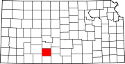
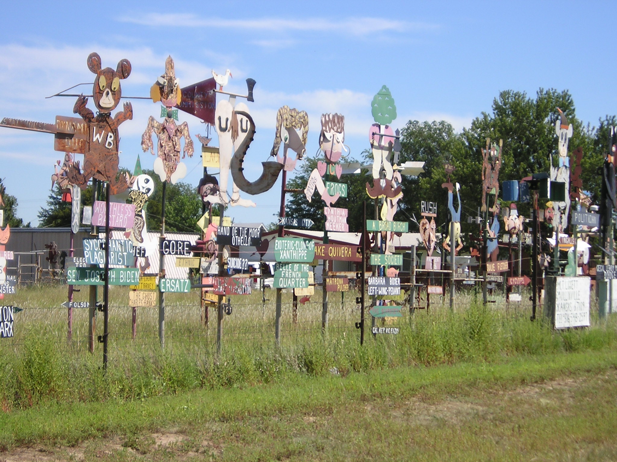
Mullinville, Kansas — City — M.T. Ligget's sculptures on Route 400 in Mullinville Location of Mullinville, Kansas
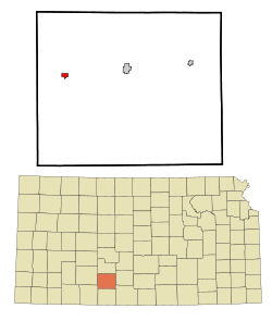

Coordinates: 37°35′12″N 99°28′35″W / 37.58667°N 99.47639°WCoordinates: 37°35′12″N 99°28′35″W / 37.58667°N 99.47639°W Country United States State Kansas County Kiowa Area – Total 0.6 sq mi (1.6 km2) – Land 0.6 sq mi (1.6 km2) – Water 0.0 sq mi (0.0 km2) Elevation 2,323 ft (708 m) Population (2010)[1] – Total 255 – Density 425/sq mi (164.1/km2) Time zone Central (CST) (UTC-6) – Summer (DST) CDT (UTC-5) ZIP code 67109 Area code(s) 620 FIPS code 20-49075[2] GNIS feature ID 0474252[3] Website City Website Mullinville is a city in Kiowa County, Kansas, United States. As of the 2010 census, the city population was 255.[1]
Contents
Geography
Mullinville is located at 37°35′12″N 99°28′35″W / 37.586706°N 99.476387°W (37.586706, -99.476387).[4] According to the United States Census Bureau, the city has a total area of 0.6 square miles (1.6 km2), all of it land.
Demographics
Historical populations Census Pop. %± 1990 289 — 2000 279 −3.5% 2010 255 −8.6% U.S. Decennial Census As of the census[2] of 2000, there were 279 people, 113 households, and 80 families residing in the city. The population density was 465.8 people per square mile (179.5/km2). There were 132 housing units at an average density of 220.4 per square mile (84.9/km2). The racial makeup of the city was 97.85% White, 1.43% Asian, and 0.72% from two or more races. Hispanic or Latino of any race were 1.43% of the population.
There were 113 households out of which 31.0% had children under the age of 18 living with them, 63.7% were married couples living together, 5.3% had a female householder with no husband present, and 29.2% were non-families. 29.2% of all households were made up of individuals and 18.6% had someone living alone who was 65 years of age or older. The average household size was 2.47 and the average family size was 3.04.
In the city the population was spread out with 28.3% under the age of 18, 3.9% from 18 to 24, 22.9% from 25 to 44, 21.1% from 45 to 64, and 23.7% who were 65 years of age or older. The median age was 41 years. For every 100 females there were 93.8 males. For every 100 females age 18 and over, there were 96.1 males.
The median income for a household in the city was $36,875, and the median income for a family was $39,375. Males had a median income of $32,500 versus $21,667 for females. The per capita income for the city was $18,258. About 10.5% of families and 9.2% of the population were below the poverty line, including 11.6% of those under the age of eighteen and 13.0% of those sixty five or over.
Trivia
Mullinville is mentioned in the song "The Jet Set" by George Jones and Tammy Wynette.[citation needed]
References
- ^ a b "2010 City Population and Housing Occupancy Status". U.S. Census Bureau. http://factfinder2.census.gov/faces/tableservices/jsf/pages/productview.xhtml?pid=DEC_10_PL_GCTPL2.ST13&prodType=table. Retrieved March 6, 2011.
- ^ a b "American FactFinder". United States Census Bureau. http://factfinder.census.gov. Retrieved 2008-01-31.
- ^ "US Board on Geographic Names". United States Geological Survey. 2007-10-25. http://geonames.usgs.gov. Retrieved 2008-01-31.
- ^ "US Gazetteer files: 2010, 2000, and 1990". United States Census Bureau. 2011-02-12. http://www.census.gov/geo/www/gazetteer/gazette.html. Retrieved 2011-04-23.
External links
- City
- Schools
- USD 424, local schools
- Maps
- Mullinville City Map, KDOT
- Kiowa County Map, KDOT
Municipalities and communities of Kiowa County, Kansas Cities Greensburg | Haviland | Mullinville
Township Unincorporated
communitiesBelvidere | Wellsford
Categories:- Cities in Kansas
- Populated places in Kiowa County, Kansas


Wikimedia Foundation. 2010.