- National Register of Historic Places listings in New Haven County, Connecticut
-
 Location of New Haven County in Connecticut
This is a list of the National Register of Historic Places listings in New Haven County, Connecticut.
This is intended to be a complete list of the properties and districts on the National Register of Historic Places in New Haven County, Connecticut, United States. The locations of National Register properties and districts for which the latitude and longitude coordinates are included below, may be seen in a Google map.[1]
There are 258 properties and districts listed on the National Register in the county, including 10 National Historic Landmarks. The city of New Haven is the location of 61 of these properties and districts, including 21 National Historic Landmarks; they are listed separately, while the 199 properties and districts in the remaining parts of the county, including 1 National Historic Landmark, are listed here. Two sites appear in both lists.
Contents: Counties in Connecticut Fairfield (city of Bridgeport) (town of Greenwich) (city of Stamford) | Hartford (city of Hartford) (town of Southington) (town of West Hartford) (town of Windsor) | Litchfield | Middlesex (city of Middletown) | New Haven (city of New Haven) | New London | Tolland | Windham
-
- This National Park Service list is complete through NPS recent listings posted November 10, 2011.[2]
Current listings
New Haven
Exclusive of New Haven
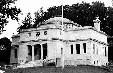
[3] Landmark name [4] Image Date listed Location City or town Summary 1 George S. Abbott Building June 14, 1982 235-247 N. Main St.
41°33′31″N 73°02′20″W / 41.558611°N 73.038889°WWaterbury 2 Academy of Our Lady of Mercy at Lauralton Hall August 31, 2011 200 High St.
41°13′23″N 73°03′52″W / 41.223056°N 73.064444°WMilford 3 Acadian House 
September 5, 1975 Union St.
41°17′07″N 72°40′47″W / 41.285278°N 72.679722°WGuilford 4 Allis-Bushnell House 
February 25, 1982 853 Boston Post Rd.
41°16′45″N 72°35′33″W / 41.279167°N 72.5925°WMadison 5 American Mills Web Shop March 10, 1983 114-152 Orange Ave.
41°17′44″N 72°57′20″W / 41.295556°N 72.955556°WWest Haven 6 William Andrew House December 27, 2002 131 Old Tavern Rd.
41°15′55″N 73°00′44″W / 41.265278°N 73.012222°WOrange Historic 18th century house 7 Moses Andrews House December 1, 1978 424 W. Main St.
41°32′23″N 72°49′03″W / 41.539722°N 72.8175°WMeriden 8 Ansonia Library August 23, 1985 53 South Cliff St.
41°20′43″N 73°04′37″W / 41.345278°N 73.076944°WAnsonia 9 George Atwater House January 17, 1992 1845 State St.
41°19′57″N 72°54′01″W / 41.3325°N 72.900278°WHamden 10 Atwater-Linton House January 17, 1992 1804 State St.
41°19′51″N 72°52′37″W / 41.330833°N 72.876944°WHamden 11 George Baldwin House September 15, 1977 West of North Branford at 530 Foxon Rd.
41°19′54″N 72°48′17″W / 41.331667°N 72.804722°WNorth Branford 12 Timothy Baldwin House December 1, 1988 186 Damascus Rd.
41°17′12″N 72°46′56″W / 41.286667°N 72.782222°WBranford 13 Zaccheus Baldwin House December 1, 1988 154 Damascus Rd.
41°17′10″N 72°47′09″W / 41.286111°N 72.785833°WBranford 14 Bank Street Historic District 
July 28, 1983 207-231 Bank St.
41°33′11″N 73°02′30″W / 41.553056°N 73.041667°WWaterbury Isolated group of four late 19th-century brick buildings, including one of only two Queen Anne commercial buildings in Waterbury 15 John Barker House August 3, 1974 898 Clintonville Rd.
41°24′28″N 72°49′39″W / 41.407778°N 72.8275°WWallingford 16 Samuel Beach House December 1, 1988 94 E. Main St.
41°17′13″N 72°48′24″W / 41.286944°N 72.806667°WBranford 17 Benedict-Miller House June 12, 1981 32 Hillside Ave.
41°33′42″N 73°02′30″W / 41.561667°N 73.041667°WWaterbury 18 Beth El Synagogue May 11, 1995 359-375 Cooke St.
41°34′03″N 73°02′27″W / 41.5675°N 73.040833°WWaterbury 19 Birmingham Green Historic District 
April 21, 2000 Roughly bounded by 5th, Caroline, 4th, and Olivia Sts.
41°19′21″N 73°05′20″W / 41.32242°N 73.089026°WDerby 20 Bishop School November 30, 1982 178 Bishop St.
41°33′50″N 73°02′12″W / 41.563889°N 73.036667°WWaterbury 21 Blackstone House December 1, 1988 37 1st Ave.
41°15′58″N 72°47′11″W / 41.266111°N 72.786389°WBranford 22 Joseph Blakeslee House April 13, 1998 1211 Barnes Rd.
41°28′47″N 72°46′03″W / 41.479722°N 72.7675°WWallingford 23 Timothy Bradley House December 1, 1988 12 Bradley St.
41°16′36″N 72°49′14″W / 41.276667°N 72.820556°WBranford 24 Branford Center Historic District May 6, 1987 Roughly bounded by U.S. Route 1, the Branford River on the east and the south, and Monroe and Kirkham Sts.
41°16′42″N 72°48′45″W / 41.278333°N 72.8125°WBranford 25 Branford Electric Railway Historic District 
June 3, 1983 17 River St. to Court St.
41°15′59″N 72°51′21″W / 41.266389°N 72.855833°WBranford and East Haven Trolley line and historic trolley collection 26 Branford Point Historic District September 15, 1988 Roughly along Harbor St. north from Curve St. to Branford Point and also Maple St. east from Reynolds St. to Harbor St.
41°15′57″N 72°49′18″W / 41.265833°N 72.821667°WBranford 27 Bridge No. 1132 September 29, 2004 CT 80 at the Hammonasset River
41°21′26″N 72°36′45″W / 41.357222°N 72.612553°WKillingworth (in Middlesex County) and Madison Open-spandrel concrete arch bridge built in 1934 28 Aaron Bronson House July 29, 1993 846 Southford Rd.
41°28′25″N 73°11′10″W / 41.473611°N 73.186111°WSouthbury 29 Josiah Bronson House February 25, 1982 Breakneck Hill Rd.
41°32′51″N 73°07′29″W / 41.5475°N 73.124722°WMiddlebury 30 Buckingham House July 25, 1977 61 North St.
41°13′42″N 73°03′25″W / 41.228333°N 73.056944°WMilford 31 Bullet Hill School February 23, 1972 Main St. and Seymour Rd.
41°28′56″N 73°12′50″W / 41.482222°N 73.213889°WSouthbury 32 Thomas Burgis II House 
December 28, 2000 85 Boston St.
41°16′56″N 72°40′41″W / 41.282222°N 72.678056°WGuilford 33 Canoe Brook Historic District April 11, 2002 Roughly along Bradley St., Cherry Hill Rd., Home Place, Lincoln Ave., and Main and N. Harbor Sts.
41°16′37″N 72°49′21″W / 41.276944°N 72.8225°WBranford 34 Dr. Andrew Castle House March 31, 2000 555 Amity Rd.
41°22′38″N 73°00′04″W / 41.377222°N 73.001111°WWoodbridge 35 Center Street Cemetery 
August 1, 1997 2 Center St.
41°27′19″N 72°49′26″W / 41.455278°N 72.823889°WWallingford 36 Charter Oak Firehouse March 17, 1994 105 Hanover St.
41°32′12″N 72°48′24″W / 41.536667°N 72.806667°WMeriden 37 Chatfield Farmstead March 15, 2010 265 Seymour Rd.
41°23′36″N 73°02′35″W / 41.393386°N 73.043094°WWoodbridge 38 Cheshire Historic District August 29, 1986 Roughly bounded by Main St., Highland Ave., Wallingford Rd., S. Main, Cornwall, and Spring Sts.
41°29′50″N 72°54′15″W / 41.497222°N 72.904167°WCheshire 39 Colony Street-West Main Street Historic District September 4, 1987 1-62 Colony, 55 Grove, 1-119 and 82-110 W. Main Sts.
41°32′19″N 72°48′17″W / 41.538611°N 72.804722°WMeriden 40 Curtis Memorial Library 
April 27, 1981 175 E. Main St.
41°32′08″N 72°47′53″W / 41.535556°N 72.798056°WMeriden 41 Reuben Curtiss House July 29, 1993 1770 Bucks Hill Rd.
41°28′33″N 73°10′11″W / 41.475833°N 73.169722°WSouthbury 42 Thomas Darling House and Tavern January 17, 1979 East of Woodbridge at 1907 Litchfield Turnpike
41°21′46″N 72°58′46″W / 41.362778°N 72.979444°WWoodbridge 43 Depot Street Bridge March 9, 2007 Depot St.
41°26′31″N 73°03′48″W / 41.441944°N 73.063333°WBeacon Falls 44 Jonathan Dickerman II House April 15, 1982 105 Mt. Carmel Ave.
41°25′11″N 72°54′02″W / 41.419722°N 72.900556°WHamden 45 Downtown Seymour Historic District August 25, 1983 Roughly bounded by the Naugatuck River, Main, Wakeley, and DeForest Sts.
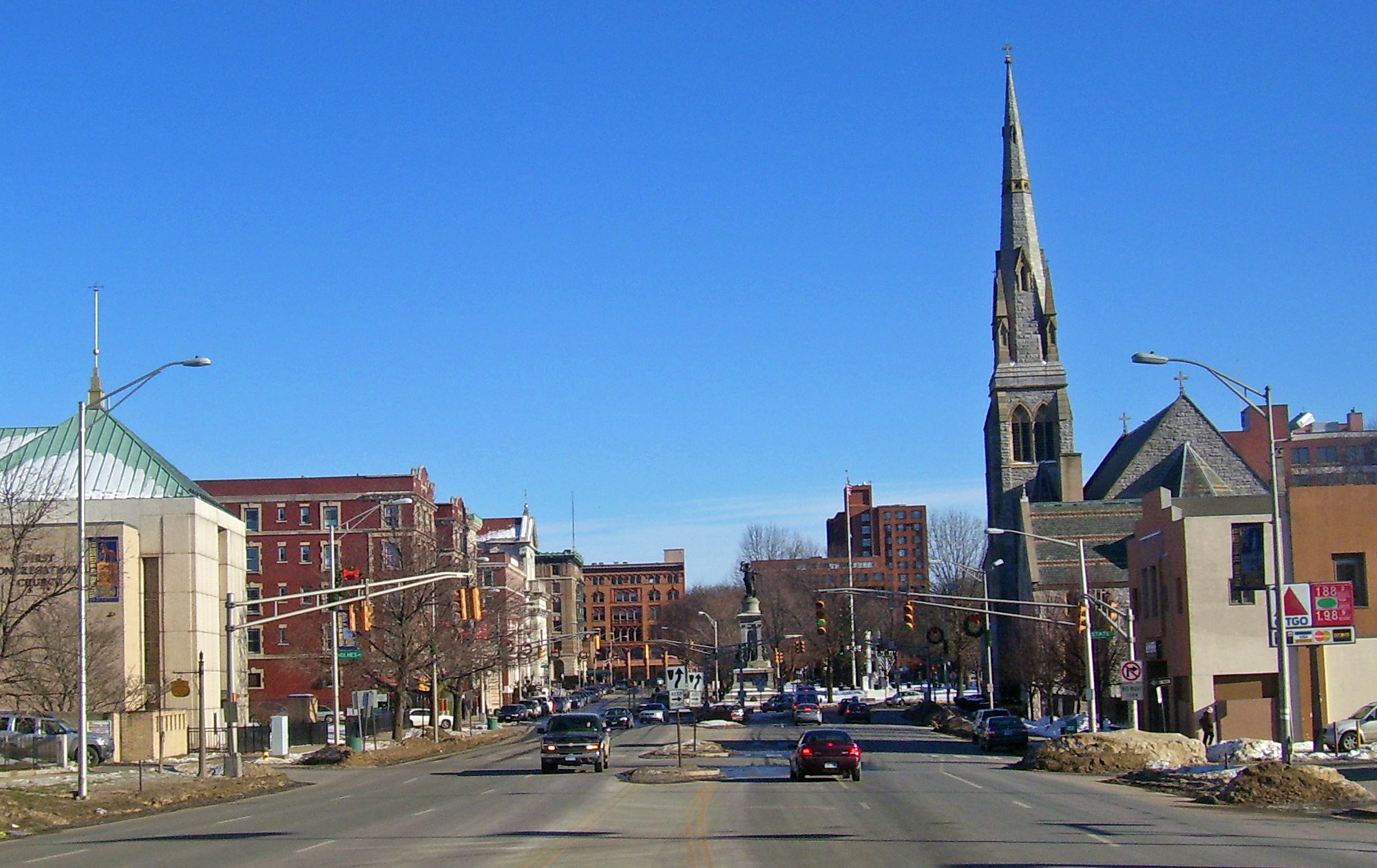
41°23′39″N 73°04′28″W / 41.394167°N 73.074444°WSeymour 46 Downtown Waterbury Historic District 
August 3, 1983 Roughly bounded by Main, Meadow, and Elm Sts.
41°33′19″N 73°02′34″W / 41.555278°N 73.042778°WWaterbury Historic core of downtown Waterbury, with most buildings from era after early 20th-century fire. 47 Dudleytown Historic District August 9, 1991 Roughly Clapboard Hill Rd. from Tanner Marsh Rd. to Murray Ln., East River Rd. southeast to Trailwood Dr., and Duck Hole Rd.
41°17′58″N 72°39′29″W / 41.299444°N 72.658056°WGuilford 48 East Haven Green Historic District 
April 11, 2002 263, 270, 274 Hemingway Ave., 125, 129, 133, 139, 143, 150 Main St., 3, 7, 11, 15, 23, 27, 39, 47 Park Pl., and 58 and 100 River St.
41°16′28″N 72°52′03″W / 41.274444°N 72.8675°WEast Haven 49 East Rock Park 
April 15, 1997 Roughly bounded by State, Davis, and Livingston Sts., Park and Mitchell Drs., and Whitney Ave.
41°19′41″N 72°54′21″W / 41.328056°N 72.905833°WHamden Park designed by Frederick Law Olmsted 50 Edgerton 
September 19, 1988 840 Whitney Ave.
41°20′03″N 72°55′36″W / 41.334167°N 72.926667°WHamden and New Haven Estate site that is now a park 51 Eells-Stow House 
June 17, 1977 34 High St.
41°13′08″N 73°03′28″W / 41.218889°N 73.057778°WMilford 52 Jared Eliot House November 14, 1985 88 Old Chaffinch Island Rd.
41°16′17″N 72°41′17″W / 41.271389°N 72.688056°WGuilford 53 Elton Hotel 
June 30, 1983 16-30 W. Main St.
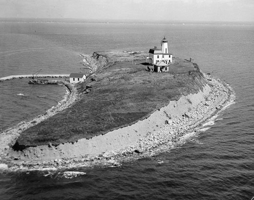
41°33′24″N 73°02′30″W / 41.556667°N 73.041667°WWaterbury 1906 Second Renaissance Revival hotel built in wake of fire to replace lost Scovill Hotel 54 Falkner's Island Lighthouse 
May 29, 1990 Long Island Sound, 5 miles south of Guilford
41°12′42″N 72°39′15″W / 41.211667°N 72.654167°WGuilford 55 Farmington Canal Lock 
February 16, 1973 487 N. Brooksvale Rd.
41°28′34″N 72°55′23″W / 41.476111°N 72.923056°WCheshire 1822 lock on the Farmington Canal 56 Farmington Canal Lock No. 13 May 6, 1982 Brooksvale Ave.
41°27′32″N 72°55′06″W / 41.458889°N 72.918333°WHamden 57 First Congregational Church of Cheshire February 16, 1973 111 Church Dr.
41°29′53″N 72°54′13″W / 41.498056°N 72.903611°WCheshire 58 First Congregational Church of East Haven 
March 25, 1982 251 Main St.
41°16′41″N 72°52′19″W / 41.278056°N 72.871944°WEast Haven 59 Fourth District School August 29, 1985 Old Post Rd.
41°23′32″N 72°47′32″W / 41.392222°N 72.792222°WNorth Branford 60 Edward Frisbie Homestead May 16, 1985 240 Stony Creek Rd.
41°16′31″N 72°45′27″W / 41.275278°N 72.7575°WBranford 61 Edward Frisbie House December 1, 1988 699 E. Main St.
41°18′15″N 72°45′22″W / 41.304167°N 72.756111°WBranford 62 Lewis Fulton Memorial Park December 27, 1990 Roughly bounded by Cook, Pine, Fern and Charlotte Sts.
41°34′10″N 73°01′54″W / 41.569444°N 73.031667°WWaterbury 63 Solomon Goffe House 
January 16, 1979 677 N. Colony St.
41°33′10″N 72°47′19″W / 41.552778°N 72.788611°WMeriden Historic saltbox house 64 Griswold House 
October 10, 1975 Boston St.
41°17′00″N 72°40′29″W / 41.283333°N 72.674722°WGuilford 65 Guilford Historic Town Center July 6, 1976 Bounded by West River, Interstate 95, East Creek and Long Island Sound
41°16′49″N 72°40′37″W / 41.280278°N 72.676944°WGuilford 66 Hamden Bank & Trust Building March 1, 1990 1 Circular Ave.
41°20′47″N 72°56′04″W / 41.346389°N 72.934444°WHamden 67 Hamden High School 
December 12, 1994 2040 Dixwell Ave.
41°22′03″N 72°55′19″W / 41.3675°N 72.921944°WHamden 68 Hamden Memorial Town Hall April 12, 2001 2372 Whitney Ave.
41°23′02″N 72°54′09″W / 41.383889°N 72.9025°WHamden 69 Hamilton Park August 15, 1996 Roughly bounded by Silver St., E. Main St., Idylwood Ave., Plank Rd., the Mad River, and Interstate 84
41°32′36″N 73°01′04″W / 41.543333°N 73.017778°WWaterbury 70 Hammanasset Paper Mill Site 
February 23, 1996 Address Restricted Madison and Killingworth 71 Thomas Harrison House December 1, 1988 23 N. Harbor St.
41°16′34″N 72°49′23″W / 41.276111°N 72.823056°WBranford 72 Hebrew Congregation of Woodmont July 21, 1995 15 and 17 Edgefield Ave.
41°13′33″N 73°00′05″W / 41.225833°N 73.001389°WMilford 73 Enoch Hibbard House and Grannis April 9, 1979 33 and 41 Church St.
41°33′20″N 73°01′55″W / 41.555556°N 73.031944°WWaterbury 74 Hillside Historic District August 20, 1987 Roughly bounded by Woodlawn Terrace, W. Main, and Willow
41°33′37″N 73°02′28″W / 41.560278°N 73.041111°WWaterbury 75 Isaac Hoadley House December 1, 1988 9 Totoket Rd.
41°16′52″N 72°46′32″W / 41.281111°N 72.775556°WBranford 76 John Hoadley House December 1, 1988 213 Leete's Island Rd.
41°17′14″N 72°45′33″W / 41.287222°N 72.759167°WBranford 77 Orrin Hoadley House December 1, 1988 15 Sunset Hill Rd.
41°17′00″N 72°46′53″W / 41.283333°N 72.781389°WBranford 78 Home Woolen Company November 29, 1984 Main St.
41°26′34″N 73°03′45″W / 41.442778°N 73.0625°WBeacon Falls 79 David Hotchkiss House May 1, 1981 Waterbury Rd.
41°30′44″N 72°59′05″W / 41.512222°N 72.984722°WProspect 80 House at 161 Damascus Road December 1, 1988 161 Damascus Rd.
41°17′07″N 72°46′53″W / 41.285278°N 72.781389°WBranford 81 House at 29 Flat Rock Road December 1, 1988 29 Flat Rock Rd.
41°16′32″N 72°45′22″W / 41.275556°N 72.756111°WBranford 82 Eliphalet Howd House December 1, 1988 675 E. Main St.
41°18′10″N 72°45′28″W / 41.302778°N 72.757778°WBranford 83 Howd-Linsley House December 10, 1986 1795 Middletown Ave.
41°24′34″N 72°46′06″W / 41.409444°N 72.768333°WNorth Branford 84 John I. Howe House February 6, 1989 213 Caroline St.
41°19′24″N 73°05′16″W / 41.323333°N 73.087778°WDerby Home of pin manufacturing pioneer 85 Hubbard Park 
December 15, 1997 Roughly bounded by W. Main St., Interstate 691, CT 66, Reservoir Ave., Edgewood Dr., and Berlin and Southington town lines
41°33′45″N 72°50′05″W / 41.5625°N 72.834722°WMeriden and, in Hartford County, Berlin and Southington A park 86 Gen. David Humphreys House 
March 17, 1972 37 Elm St.
41°19′52″N 73°04′30″W / 41.331111°N 73.075°WAnsonia 87 William Hurd House July 29, 1993 327 Hulls Hill Rd.
41°27′25″N 73°10′29″W / 41.456944°N 73.174722°WSouthbury 88 Hurley Road Historic District July 29, 1993 6 and 17 Hurley Rd.
41°28′33″N 73°09′31″W / 41.475833°N 73.158611°WSouthbury 89 Hyland-Wildman House 
March 26, 1976 Boston St.
41°16′57″N 72°40′43″W / 41.2825°N 72.678611°WGuilford 90 Ives-Baldwin House May 1, 2003 474 Baldwin Ave.
41°32′42″N 72°46′34″W / 41.545°N 72.776111°WMeriden 91 Elam Ives House October 12, 2010 95 Ives St.
41°24′13″N 72°53′43″W / 41.403611°N 72.895278°WHamden 92 Alphonso Johnson House January 17, 1992 1 Gilbert Ave.
41°21′26″N 72°56′15″W / 41.357222°N 72.9375°WHamden 93 Franklin Johnson House November 23, 1998 153 S. Main St.
41°27′06″N 72°49′15″W / 41.451667°N 72.820833°WWallingford 94 Theophilus Jones House January 30, 1992 40 Jones Rd.
41°26′51″N 72°51′10″W / 41.4475°N 72.852778°WWallingford 95 John Kendrick House 
April 12, 1982 119 W. Main St.
41°33′22″N 73°02′36″W / 41.556111°N 73.043333°WWaterbury 1865 brick Italianate house is one of the few remaining residential structures on Waterbury Green 96 Kraus Corset Factory 
February 12, 1987 Roosevelt Dr. and 3rd St.
41°19′13″N 73°05′29″W / 41.320278°N 73.091389°WDerby 97 Pelatiah Leete House October 1, 1974 Southwest of Guilford off CT 146
41°15′55″N 72°43′28″W / 41.265278°N 72.724444°WGuilford 98 Isaac C. Lewis Cottage July 25, 1997 255 Thimble Islands Rd.
41°15′46″N 72°45′00″W / 41.262778°N 72.75°WBranford 99 Little Pootatuck Brook Archeological Site June 28, 1990 Address Restricted Southbury 100 Madison Green Historic District June 28, 1982 446-589 Boston Post Rd. and structures surrounding the green
41°16′41″N 72°36′19″W / 41.278056°N 72.605278°WMadison 101 Maltby-Stevens Factory Site January 27, 2000 Address Restricted North Branford 102 Marion Historic District 
December 21, 1988 Along Marion Ave. and Meriden-Waterbury Turnpike
41°33′50″N 72°55′29″W / 41.563889°N 72.924722°WCheshire Extends into Southington; see the Hartford County list. 103 Richard Mansfield House March 11, 1971 35 Jewett St.
41°20′23″N 73°04′14″W / 41.339722°N 73.070556°WAnsonia 104 Matthews and Willard Factory January 14, 1988 16 Cherry Ave.
41°33′24″N 73°02′10″W / 41.556667°N 73.036111°WWaterbury 105 Medad Stone Tavern January 30, 2009 197 Three Mile Course
41°17′03″N 72°41′46″W / 41.284167°N 72.696111°WGuilford 106 Meeting House Hill Historic District December 14, 1987 Roughly bounded by Long Hill, Great Hill, and Ledge Hill Rds.
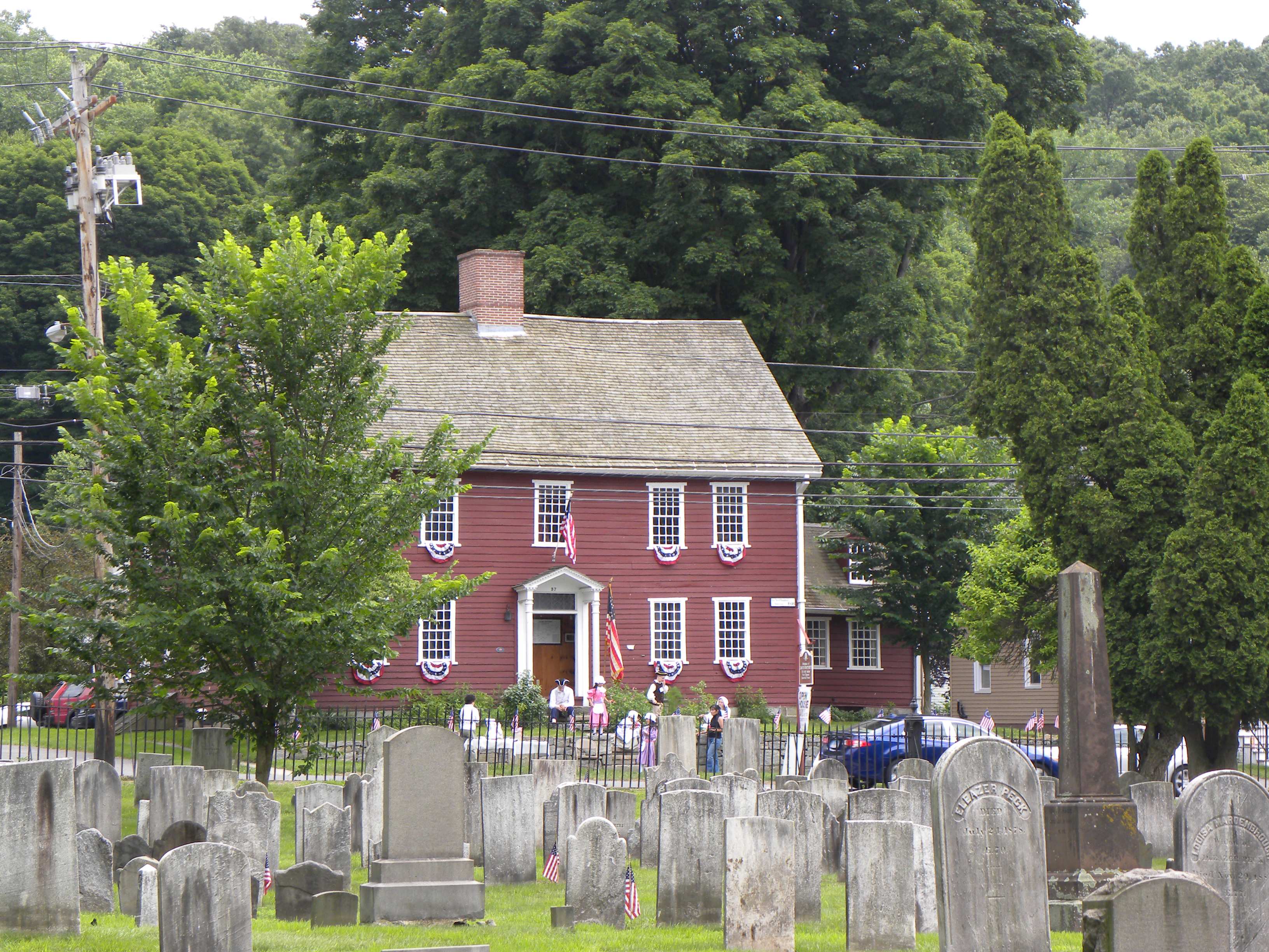
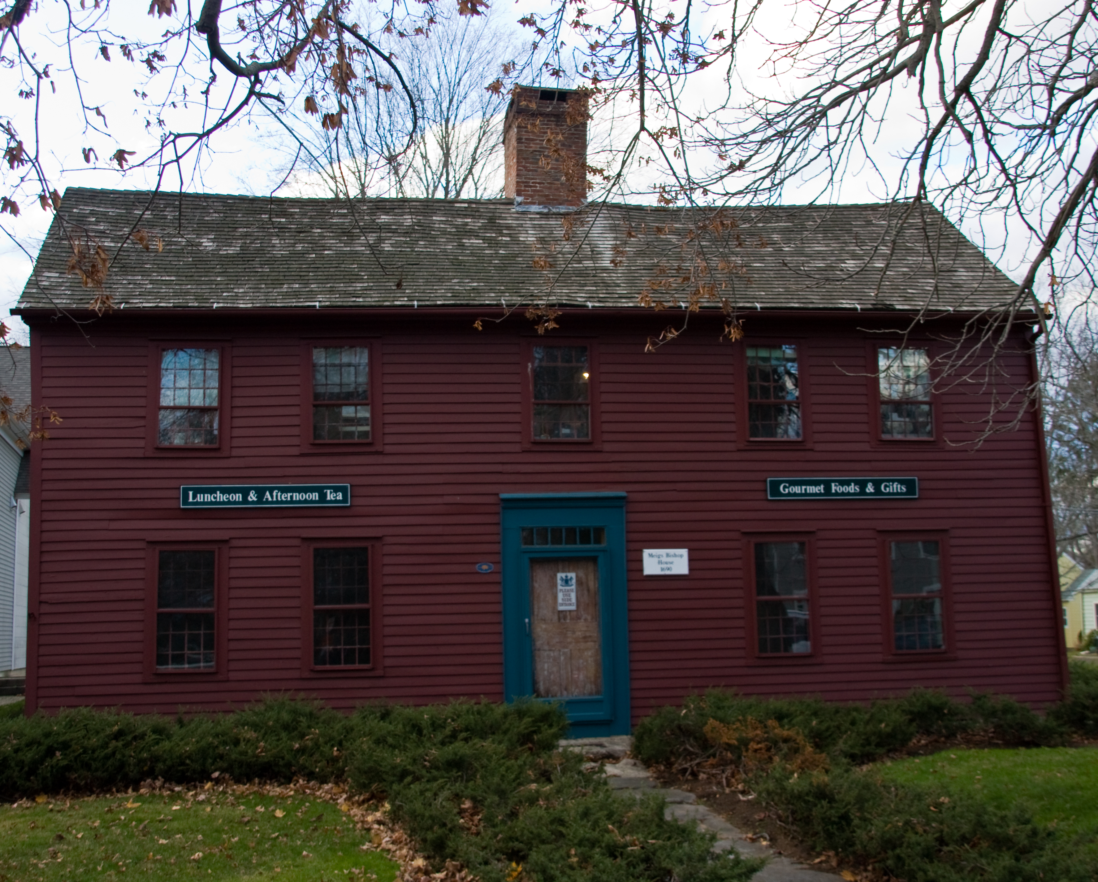
41°22′00″N 72°43′42″W / 41.366667°N 72.728333°WGuilford 107 Meigs-Bishop House 
June 16, 1988 45 Wall St.
41°16′52″N 72°35′40″W / 41.281111°N 72.594444°WMadison 108 Meriden Curtain Fixture Company Factory December 4, 1986 122 Charles St.
41°31′52″N 72°47′30″W / 41.531111°N 72.791667°WMeriden 109 Middlebury Center Historic District May 9, 1985 Roughly bounded by Library Rd., North and South Sts., and Whittemore Rd.
41°31′35″N 73°07′33″W / 41.526389°N 73.125833°WMiddlebury 110 Milford Point Hotel January 22, 1988 Milford Point Rd.
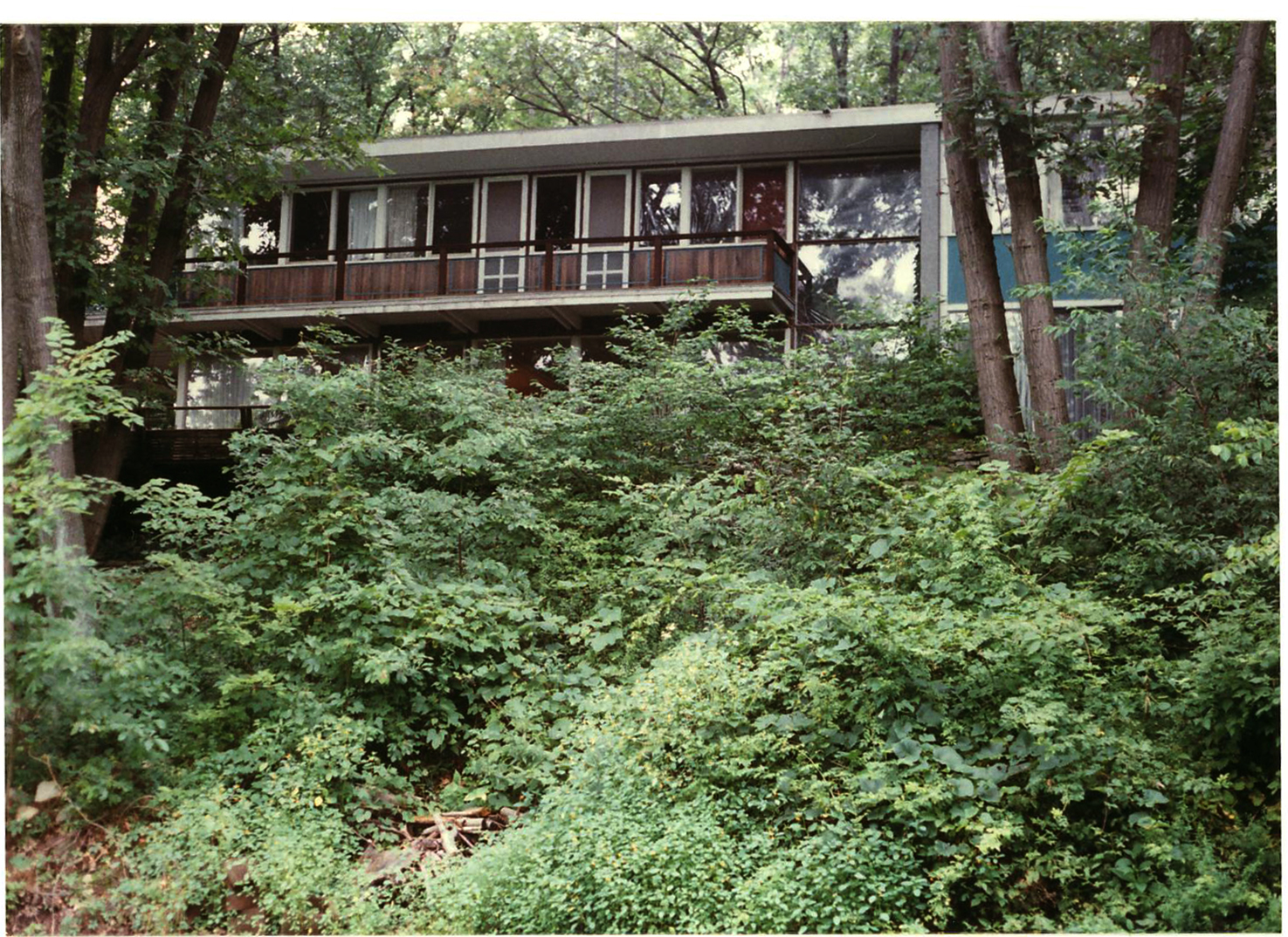
41°10′33″N 73°06′07″W / 41.175833°N 73.101944°WMilford 111 Henry F. Miller House 
April 25, 2001 30 Derby Ave.
41°18′02″N 72°59′15″W / 41.300556°N 72.9875°WOrange International style house 112 Mount Carmel Congregational Church and Parish House December 27, 1991 3280 and 3284 Whitney Ave., 195 Sherman Ave.
41°24′50″N 72°54′09″W / 41.413889°N 72.9025°WHamden 113 Jonathan Murray House 
April 12, 1982 76 Scotland Rd.
41°17′11″N 72°34′49″W / 41.286389°N 72.580278°WMadison 114 Naugatuck Center Historic District July 30, 1999 Roughly bounded by Fairview Ave., Hillside Ave., Terrace Ave., Water St., and Pleasant View St.
41°29′29″N 73°03′27″W / 41.491389°N 73.0575°WNaugatuck 115 Nehemiah Royce House 
August 24, 1998 538 N. Main St.
41°27′59″N 72°48′48″W / 41.466389°N 72.813333°WWallingford 116 New England Cement Company Kiln and Quarry April 25, 2001 Address Restricted
41°22′36″N 72°58′40″W / 41.376667°N 72.977778°WWoodbridge 117 Norcross Brothers Granite Quarry June 6, 2003 Quarry Rd.
41°17′01″N 72°44′32″W / 41.283611°N 72.742222°WBranford 118 North Branford Center Historic District December 9, 1999 Roughly along Church and North Sts.
41°19′46″N 72°45′52″W / 41.329444°N 72.764444°WNorth Branford 119 Northford Center Historic District December 31, 2002 Roughly along Middletown Ave. and parts of Old Post Rd.
41°24′00″N 72°46′59″W / 41.4°N 72.783056°WNorth Branford 120 Norton House December 1, 1988 200 Pine Orchard Rd.
41°16′38″N 72°47′44″W / 41.277222°N 72.795556°WBranford 121 Old West Haven High School October 24, 1985 278 Main St.
41°19′48″N 72°57′11″W / 41.33°N 72.953056°WWest Haven 122 Orange Center Historic District 
August 10, 1989 Roughly Orange Center Rd. from Orange Cemetery to Nan Dr.
41°16′36″N 73°01′40″W / 41.276667°N 73.027778°WOrange Includes the federal style 1810 Orange Congregational Church by David Hoadley and the 1878 stick style Academy schoolhouse 123 Osbornedale 
June 13, 1986 500 Hawthorne Ave.
41°19′51″N 73°06′27″W / 41.330833°N 73.1075°WDerby Historic nineteenth-century farmhouse 124 Overlook Historic District June 7, 1988 Roughly bounded by Hecla St., Farmington and Columbia Boulevard, Cables Ave. and Clowes Terrace, and Lincoln and Fiske Sts.
41°34′13″N 73°02′54″W / 41.570278°N 73.048333°WWaterbury 125 Palace Theater June 30, 1983 86-110 E. Main St.
41°33′19″N 73°02′23″W / 41.555278°N 73.039722°WWaterbury 126 Hezekiah Palmer House 
December 1, 1988 340-408 Leete's Island Rd.
41°16′30″N 72°45′25″W / 41.275°N 72.756944°WBranford 127 Isaac Palmer House December 1, 1988 736-756 Main St.
41°16′47″N 72°48′57″W / 41.279722°N 72.815833°WBranford 128 Samuel Parsons House April 12, 1982 180 S. Main St.
41°27′04″N 72°49′14″W / 41.451111°N 72.820556°WWallingford 129 Pine Orchard Union Chapel July 19, 2000 25 Chapel Dr.
41°15′57″N 72°44′25″W / 41.265833°N 72.740278°WBranford 130 Pines Bridge Historic District May 27, 1988 3-17 Bishop St., 70-99 Old Broadway, 2-10 Philip Pl., and 9-56 State St.
41°23′15″N 72°52′23″W / 41.3875°N 72.873056°WNorth Haven 131 Pistol Factory Dwelling December 27, 1991 1322 Whitney Ave.
41°20′57″N 72°54′51″W / 41.349167°N 72.914167°WHamden 132 Elisha Pitkin House April 6, 1979 173 High Woods Dr.
41°18′56″N 72°42′07″W / 41.315556°N 72.701944°WGuilford 133 Plaster House July 29, 1993 117 Plaster House Rd.
41°27′00″N 73°10′01″W / 41.45°N 73.166944°WSouthbury 134 Col. Asa Platt House December 31, 2002 2 Tyler City Rd.
41°17′12″N 73°00′41″W / 41.286667°N 73.011389°WOrange Federal-style house from 1810 135 Prospect Green Historic District June 16, 2000 2, 8, 10, 12, 17, 19, 21, 23, 25, 27, and 30 Center St.
41°30′04″N 72°58′42″W / 41.501111°N 72.978333°WProspect 136 Quaker Farms Historic District August 9, 1991 467-511 Quaker Farms Rd.
41°25′34″N 73°09′24″W / 41.426111°N 73.156667°WOxford 137 Red Bridge December 10, 1993 Near Oregon Rd. over the Quinnipiac River
41°31′20″N 72°50′20″W / 41.522222°N 72.838889°WMeriden 138 Nathaniel Richardson House September 19, 1977 Northeast of Middlebury on Kelly Rd.
41°32′40″N 73°05′37″W / 41.544444°N 73.093611°WMiddlebury 139 Rising Sun Tavern August 21, 1979 Old Tavern Lane
41°22′20″N 72°49′27″W / 41.372222°N 72.824167°WNorth Haven 140 River Park Historic District August 14, 1986 Roughly bounded by Boston Post Rd., Cherry St. and Amtrak line, and High St.
41°13′38″N 73°03′30″W / 41.227222°N 73.058333°WMilford 141 Riverside Cemetery September 20, 1988 Riverside St. from Sunnyside to Summit Sts.
41°32′52″N 73°02′57″W / 41.547778°N 73.049167°WWaterbury 142 John Rogers House 
December 1, 1988 690 Leete's Island Rd.
41°16′12″N 72°44′14″W / 41.27°N 72.737222°WBranford 143 Route 146 Historic District April 5, 1990 Route 146 between Flat Rock Rd. and West River bridge
41°16′07″N 72°42′50″W / 41.268611°N 72.713889°WBranford and Guilford 144 Russian Village Historic District December 8, 1988 Roughly Kiev Dr. and Russian Village Rd. between U.S. Route 6 and the Pomperaug River
41°26′56″N 73°15′10″W / 41.448889°N 73.252778°WSouthbury 145 Sabbathday House 
October 10, 1975 19 Union St.
41°17′07″N 72°40′50″W / 41.285278°N 72.680556°WGuilford 146 Salem School 
November 3, 1983 124 Meadow St.
41°29′26″N 73°03′27″W / 41.490556°N 73.0575°WNaugatuck 147 Sanford Road Historic District July 29, 1993 480 and 487 Sanford Rd.
41°27′41″N 73°11′05″W / 41.461389°N 73.184722°WSouthbury 148 Sanford-Humphreys House May 11, 1982 61-63 West St.
41°23′39″N 73°04′47″W / 41.394167°N 73.079722°WSeymour 149 Seymour High School and Annex November 17, 1983 100 Bank St.
41°23′51″N 73°04′36″W / 41.3975°N 73.076667°WSeymour 150 Sheffield Street Bridge April 12, 2001 Sheffield St. over Hancock Brook
41°35′50″N 73°02′52″W / 41.597222°N 73.047778°WWaterbury 151 Shelley House February 9, 1989 248 Boston Post Rd.
41°16′42″N 72°37′45″W / 41.278333°N 72.629167°WMadison 152 Samuel Simpson House June 18, 1986 216 N. Main St.
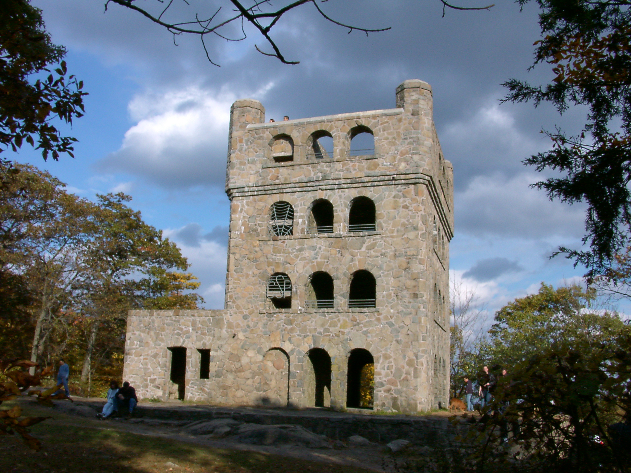
41°27′27″N 72°49′02″W / 41.4575°N 72.817222°WWallingford 153 Sleeping Giant Tower 
September 4, 1986 200 Mt. Carmel Ave. at Mt. Carmel summit, Sleeping Giant State Park
41°25′50″N 72°53′27″W / 41.430556°N 72.890833°WHamden 154 South Britain Historic District February 12, 1987 E. Flat Hill, Hawkins, Library, and Middle Rds., and 497-864 S. Britain Rd.
41°28′09″N 73°15′03″W / 41.469167°N 73.250833°WSouthbury 155 Southbury Historic District No. 1 March 11, 1971 Main St. from Woodbury town line to Old Waterbury Rd.
41°29′42″N 73°12′37″W / 41.495°N 73.210278°WSouthbury 156 Southbury Training School May 1, 1992 1484 S. Britain Rd.
41°27′49″N 73°16′23″W / 41.463611°N 73.273056°WSouthbury Extends into Roxbury; see the Litchfield County list. 157 Southwest District School April 2, 1982 155 Nichols Rd.
41°34′49″N 72°59′10″W / 41.580278°N 72.986111°WWolcott 158 St. Peter's Episcopal Church 
August 21, 1979 61, 71, 81 River St.
41°13′27″N 73°03′27″W / 41.224167°N 73.0575°WMilford 159 Stapleton Building January 14, 1988 751 N. Main St.
41°33′49″N 73°01′58″W / 41.563611°N 73.032778°WWaterbury 160 State Park Supply Yard September 4, 1986 51 Mill Rd.
41°16′37″N 72°33′39″W / 41.276944°N 72.560833°WMadison 161 Sterling Opera House 
November 8, 1968 Northwestern corner of 4th and Elizabeth Sts.
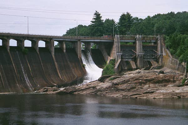
41°19′18″N 73°05′24″W / 41.321667°N 73.09°WDerby Amelia Earhart, John L. Sullivan, Harry Houdini, George Burns, Lionel Barrymore, Ethel Barrymore, Red Skelton, and John Philip Sousa appeared on this stage. 162 Stevenson Dam Hydroelectric Plant 
September 29, 2000 CT 34
41°23′03″N 73°10′16″W / 41.384167°N 73.171111°WOxford and Monroe (in Fairfield County) Dam, bridge, and powerhouse built in 1917 on the Housatonic River 163 Stick Style House at Stony Creek December 27, 1972 34 Prospect Hill
41°15′56″N 72°44′44″W / 41.265556°N 72.745556°WBranford 164 Stony Creek-Thimble Islands Historic District December 16, 1988 Roughly Thimble Islands Rd. between Route 146 and Long Island Sound and the Thimble Islands
41°15′33″N 72°45′18″W / 41.259167°N 72.755°WBranford 165 Swain-Harrison House 
October 10, 1975 124 W. Main St.
41°16′41″N 72°49′34″W / 41.278056°N 72.826111°WBranford 166 Taylor Memorial Library August 21, 1979 5 Broad St.
41°13′20″N 73°03′27″W / 41.222222°N 73.0575°WMilford 167 Orrin Todd House December 26, 1991 3369 Whitney Ave.
41°25′02″N 72°54′11″W / 41.417222°N 72.903056°WHamden 168 Tranquility Farm September 23, 1982 West of Middlebury on CT 64
41°31′54″N 73°08′16″W / 41.531667°N 73.137778°WMiddlebury 169 Bronson B. Tuttle House November 29, 1990 380 Church St.
41°29′43″N 73°03′19″W / 41.495278°N 73.055278°WNaugatuck 170 John Tyler House December 1, 1988 242-250 E. Main St.
41°17′28″N 72°47′47″W / 41.291111°N 72.796389°WBranford 171 Solomon Tyler House December 1, 1988 260-268 E. Main St.
41°17′30″N 72°47′43″W / 41.291667°N 72.795278°WBranford 172 Union School November 13, 1987 174 Center St.
41°16′29″N 72°56′49″W / 41.274722°N 72.946944°WWest Haven 173 Upper Main Street Historic District December 2, 1982 36-100 and 85-117 Main St.
41°20′41″N 73°04′47″W / 41.344722°N 73.079722°WAnsonia 174 US Post Office-Ansonia Main December 12, 1985 237 Main St.
41°20′35″N 73°04′43″W / 41.343056°N 73.078611°WAnsonia 175 US Post Office-Meriden Main January 21, 1986 39 N. Colony St.
41°32′41″N 72°48′04″W / 41.544722°N 72.801111°WMeriden 176 US Post Office-Milford Main September 25, 1986 6 W. River St.
41°13′27″N 73°03′30″W / 41.224167°N 73.058333°WMilford 177 US Post Office-Naugatuck Main January 21, 1986 Church and Cedar Sts.
41°29′32″N 73°03′23″W / 41.492222°N 73.056389°WNaugatuck 178 Wallingford Center Historic District December 2, 1993 Roughly Main St. from Ward St. to Church St.
41°27′11″N 72°49′14″W / 41.453056°N 72.820556°WWallingford 179 Wallingford Railroad Station 
November 19, 1993 51 Quinnipiac St. (37 Hall Ave.)
41°27′24″N 72°49′32″W / 41.456667°N 72.825556°WWallingford 180 Ward-Heitman House January 8, 2003 277 Elm St.
41°16′34″N 72°57′08″W / 41.276111°N 72.952222°WWest Haven 181 Washington Avenue Bridge 
April 12, 2001 Washington Ave. over the Mad River
41°32′38″N 73°02′18″W / 41.543889°N 73.038333°WWaterbury 182 Washington Bridge 
September 29, 2004 U.S. Route 1 at the Housatonic River
41°12′01″N 73°06′39″W / 41.200278°N 73.110833°WMilford and Stratford (in Fairfield County) A moveable bridge 183 Waterbury Brass Mill September 5, 1975 Idlewood Ave. in Hamilton Park
41°32′26″N 73°01′04″W / 41.540556°N 73.017778°WWaterbury 184 Waterbury Clock Company 
November 30, 1982 N. Elm and Cherry Sts. and Cherry Ave.
41°33′30″N 73°02′06″W / 41.558333°N 73.035°WWaterbury 185 Waterbury Municipal Center Complex 
October 10, 1978 195, 235, and 236 Grand St. and 7, 35, and 43 Field St.
41°33′13″N 73°02′36″W / 41.553611°N 73.043333°WWaterbury Cass Gilbert-designed complex from 1910s meant to create one unified complex of city government, corporate headquarters and charitable office in accord with City Beautiful movement principles. 186 Waterbury Union Station 
March 8, 1978 389 Meadow St.
41°33′18″N 73°02′51″W / 41.555°N 73.0475°WWaterbury 1908 station meant to be grand entrance to city being rebuilt after fire; clock tower has become symbol of the city 187 Webster School June 14, 1982 Easton Ave. at Aetna St.
41°34′00″N 73°01′53″W / 41.566667°N 73.031389°WWaterbury 188 West Haven Green Historic District 
August 11, 2000 Roughly along Main St., Campbell St., Church St., and Savin St.
41°16′15″N 72°57′01″W / 41.270833°N 72.950278°WWest Haven 189 Adin Wheeler House and Theodore F. Wheeler Wheelwright Shop July 29, 1993 125 Quaker Farms Rd.
41°27′37″N 73°09′49″W / 41.460278°N 73.163611°WSouthbury 190 Wheeler-Beecher House July 15, 1977 562 Amity Rd.
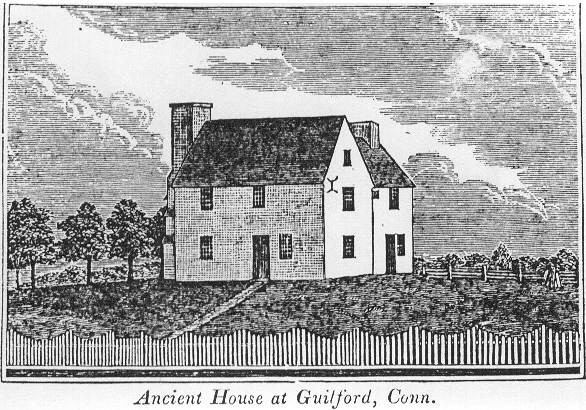
41°25′42″N 72°59′44″W / 41.428333°N 72.995556°WBethany 191 Henry Whitfield House 
September 25, 1997 248 Old Whitfield St.
41°16′40″N 72°40′31″W / 41.277778°N 72.675278°WGuilford The oldest house in Connecticut, built in 1639 192 Eli Whitney Gun Factory August 13, 1974 915-940 Whitney Ave.
41°20′11″N 72°54′42″W / 41.336389°N 72.911667°WHamden 193 Whitneyville Congregational Church July 28, 1995 1247-1253 Whitney Ave.
41°20′48″N 72°54′47″W / 41.346667°N 72.913056°WHamden 194 Wilby High School June 14, 1982 260 Grove St.
41°33′36″N 73°02′45″W / 41.56°N 73.045833°WWaterbury 195 Warham Williams House March 11, 1971 Old Post Rd. and CT 17 and 22
41°23′33″N 72°47′31″W / 41.3925°N 72.791944°WNorth Branford 196 Wolcott Green Historic District March 31, 2000 Roughly bounding Wolcott Green
41°36′05″N 72°58′33″W / 41.601389°N 72.975833°WWolcott 197 Harcourt Wood Memorial Library 
January 4, 1982 313 Elizabeth St.
41°19′36″N 73°05′20″W / 41.326667°N 73.088889°WDerby 198 Woodbridge Green Historic District 
April 18, 2003 3, 4, 7, 11 Meetinghouse Ln. and 4 and 10 Newton Rd.
41°21′14″N 73°00′46″W / 41.353889°N 73.012778°WWoodbridge 199 Wooster Sawmill and Gristmill Site August 17, 2001 Address Restricted Oxford See also
- List of National Historic Landmarks in Connecticut
- National Register of Historic Places listings in Connecticut
References
- ^ The latitude and longitude information provided in this table was derived originally from the National Register Information System, which has been found to be fairly accurate for about 99% of listings. For about 1% of NRIS original coordinates, experience has shown that one or both coordinates are typos or otherwise extremely far off; some corrections may have been made. A more subtle problem causes many locations to be off by up to 150 yards, depending on location in the country: most NRIS coordinates were derived from tracing out latitude and longitudes off of USGS topographical quadrant maps created under North American Datum of 1927, which differs from the current, highly accurate GPS system used by Google maps. Chicago is about right, but NRIS longitudes in Washington are higher by about 4.5 seconds, and are lower by about 2.0 seconds in Maine. Latitudes differ by about 1.0 second in Florida. Some locations in this table may have been corrected to current GPS standards.
- ^ "National Register of Historic Places: Weekly List Actions". National Park Service, United States Department of the Interior. Retrieved on November 10, 2011.
- ^ Numbers represent an ordering by significant words. Various colorings, defined here, differentiate National Historic Landmark sites and National Register of Historic Places Districts from other NRHP buildings, structures, sites or objects.
- ^ "National Register Information System". National Register of Historic Places. National Park Service. . http://nrhp.focus.nps.gov/natreg/docs/All_Data.html.
U.S. National Register of Historic Places Topics Lists by states Alabama • Alaska • Arizona • Arkansas • California • Colorado • Connecticut • Delaware • Florida • Georgia • Hawaii • Idaho • Illinois • Indiana • Iowa • Kansas • Kentucky • Louisiana • Maine • Maryland • Massachusetts • Michigan • Minnesota • Mississippi • Missouri • Montana • Nebraska • Nevada • New Hampshire • New Jersey • New Mexico • New York • North Carolina • North Dakota • Ohio • Oklahoma • Oregon • Pennsylvania • Rhode Island • South Carolina • South Dakota • Tennessee • Texas • Utah • Vermont • Virginia • Washington • West Virginia • Wisconsin • WyomingLists by territories Lists by associated states Other  Category:National Register of Historic Places •
  Portal:National Register of Historic PlacesCategories:
- New Haven County, Connecticut
- National Register of Historic Places in Connecticut by county
-


Wikimedia Foundation. 2010.