- Main Street Historic District (Cold Spring Harbor, New York)
-
Main Street Historic District
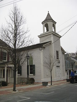 Methodist Episcopal Church, February 2010
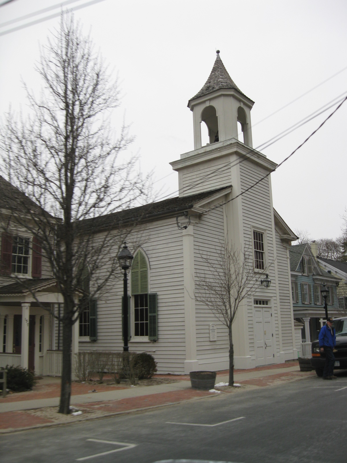

Location: Main St., Cold Spring Harbor, New York Coordinates: 40°52′18″N 73°27′21″W / 40.87167°N 73.45583°WCoordinates: 40°52′18″N 73°27′21″W / 40.87167°N 73.45583°W Area: 8 acres (3.2 ha) Architect: Brown & VonBeren; Multiple Architectural style: Mid 19th Century Revival, Late Victorian, Federal Governing body: Private MPS: Huntington Town MRA NRHP Reference#: 85002583[1] Added to NRHP: September 26, 1985 Main Street Historic District is a national historic district located at Cold Spring Harbor in Suffolk County, New York. The district has 32 contributing buildings. The majority of the buildings were built between 1855 and 1890. It encompasses the village's historic core and charts its development from a major whaling port to a summer resort community.[2]
It was added to the National Register of Historic Places in 1985.[1]
References
- ^ a b "National Register Information System". National Register of Historic Places. National Park Service. 2009-03-13. http://nrhp.focus.nps.gov/natreg/docs/All_Data.html.
- ^ NYS Parks & Recreation (undated). "National Register of Historic Places Registration: Main Street Historic District". New York State Office of Parks, Recreation and Historic Preservation. http://www.oprhp.state.ny.us/hpimaging/hp_view.asp?GroupView=8742. Retrieved 2010-02-20. See also: "Accompanying 32 photos". http://www.oprhp.state.ny.us/hpimaging/hp_view.asp?GroupView=8751.
Categories:- Historic districts in New York
- National Register of Historic Places in New York
- Federal architecture in New York
- Georgian architecture in New York
- Historic districts in Suffolk County, New York
- Suffolk County, New York Registered Historic Place stubs


Wikimedia Foundation. 2010.