- Kingsview Village
-
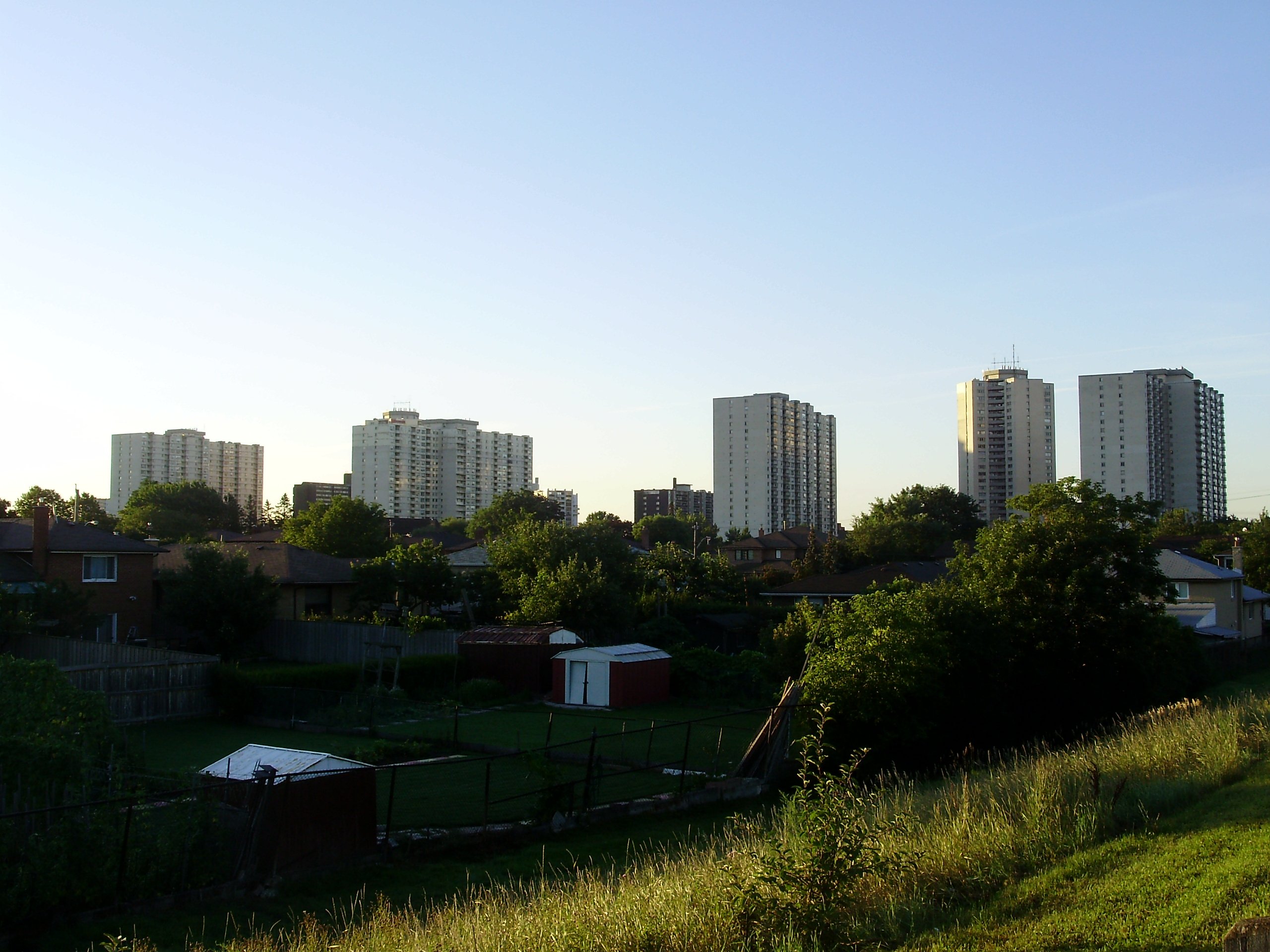
Kingsview Village — Neighbourhood — Towers in Kingsview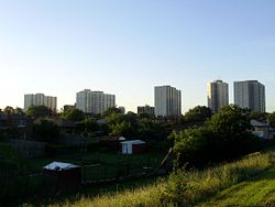

Coordinates: 43°41′40″N 79°33′31″W / 43.69444°N 79.55861°WCoordinates: 43°41′40″N 79°33′31″W / 43.69444°N 79.55861°W Country  Canada
Province  Ontario
City  Toronto
Community Etobicoke-York Changed Municipality 1998 Toronto from Etobicoke Government – MP Ted Opitz (Etobicoke Centre) – MPP Donna Cansfield (Etobicoke Centre) – Councillor Gloria Lindsay Luby (Ward 4 Etobicoke Centre) Kingsview Village is a neighbourhood in the city of Toronto, Ontario, Canada. It is located in the north end of the former city of Etobicoke, and is bounded on the north by Highway 401, on the east by the Humber River and St. Phillips Road, on the south by Dixon Road. It is relatively close to Toronto Pearson International Airport in Mississauga, and TTC bus routes connect it to the rest of the city.
This neighbourhood is home to a multicultural diverse community that contains amongst others a sizable Somali population and an Indian and Pakistani population.It has many religions but is mostly inhabited by people following Islam (Muslims). From single family homes to high rises, this is a diverse neighbourhood in all aspects.
Kingsview is a recent name for the residential development north of Dixon Road, on the site of a number of estates owned by the Dixon Family. The name 'Kingsview' is a reference to the neighbourhood's position on high ground, north of the top of the street 'The Kingsway'.
Contents
Schools
- Dixon Grove Junior Middle School is a public elementary middle school located at the intersection of The Westway and Kipling Avenue.It was found in 1960 and today has over 800 students.
- Don Bosco Catholic Secondary School
- Kingsview Village Junior School is a public elementary school located close to the intersection of Dixon Road and Islington Avenue. Kingsview Village was opened on December 16, 1956.
- Parkfield Junior School is a public elementary school on Redgrave Drive near The Westway and Martingrove Road. It officially opened on October 21, 1965.
- Transfiguration of Our Lord Catholic Elementary School
- St Maurice Catholic Elementary School[1]
- Westway Junior School is a one level junior school (JK - 5), located east of Kipling Avenue and north of The Westway. The school playground is part of a large public park.
Institutions
- Westown Shopping Centre
- Wincott Park
- Kingsview Park
- Churches
- Free Methodist Kingsview Church
- Transfiguration of Our Lord Roman Catholic Church
References
External links

Rexdale, The Elms West Humber-Clairville 
Humber Heights-Westmount  Kingsview Village

Richview Categories:- Neighbourhoods in Toronto
- Toronto geography stubs

Wikimedia Foundation. 2010.