- Islington-City Centre West
Infobox City
official_name = Islington-City Centre West
subdivision_type2 = Country
subdivision_name2 =Canada
subdivision_type1 = Province
subdivision_name1 =Ontario
subdivision_type = City
subdivision_name =Toronto 
mapsize=150px
map_caption=Location of Islington-City Centre West within Toronto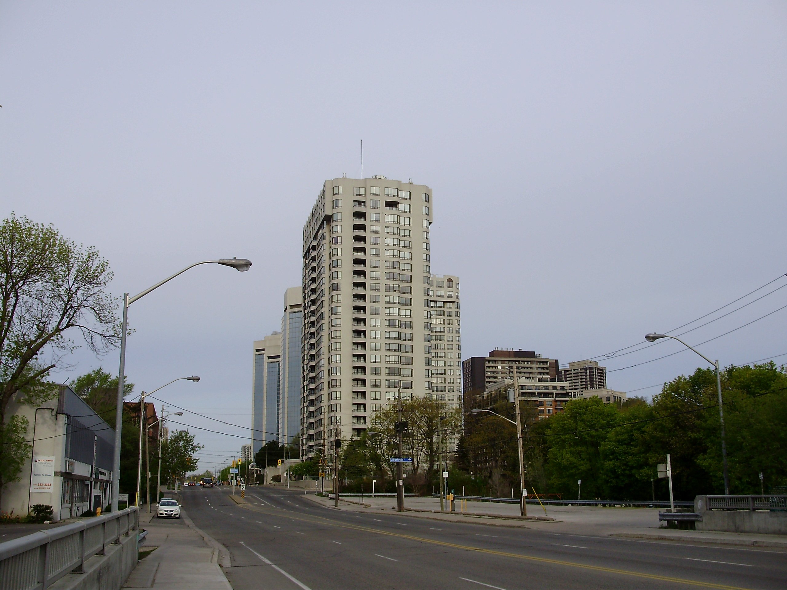
Islington-City Centre West is a neighbourhood in
Toronto ,Ontario ,Canada , located in the former city of Etobicoke. It is bounded on the north by Rathburn Road, on the east by Kipling Avenue, Mimico Creek, and Islington Avenue, on the south by the Gardiner Expressway and Queen Elizabeth Way, and on the west by Etobicoke Creek and Highway 427. It is immediately adjacent to the city ofMississauga .History
The eastern half of this area, currently known as Islington, was originally known as Mimico. In
1858 , When Mimico-on-the-Lake petitioned the government for its new post office to be called Mimico, the northern Mimico was renamed Islington, a name suggested by a resident who was born in the English city of the same name).The
Toronto Transit Commission 's Bloor-Danforth line was extended to Islington in1968 with the establishment of Islington station atIslington Avenue andBloor Street West. Not long after the station was constructed, there was a boom in high-density office and residential development. In 1980, the Bloor-Danforth line was extended one stop west from Islington to Kipling andGO Transit 'sKipling GO Station , further enhancing the neighbourhood's access to Toronto and the Greater Toronto Area. Elsewhere in the neighbourhood, transit is provided by buses.Dundas Street west of Islington Avenue has been designated a Business Improvement Area known as the [http://villageofislington.com/ Historic Village of Islington] .
Montgomery's Inn is also located in Islington, on the south-east corner of Islington Avenue and Dundas Street West. Dating to 1830, the inn is an example of lateGeorgian architecture . It currently houses the Etobicoke CommunityMuseum and is open to the public.Character
Islington-City Centre West is a very diverse part of the city. It is dominated by Highway 427 and the QEW/
Gardiner Expressway , as well as the railyards of the CPR. Along the highways are a mix of shopping malls and light industrial buildings. There is a mix of single family homes in the south western area with numerous apartment towers along Bloor Street. The area north of the Bloor-Dundas intersection is also known as "Six Points". The Six Points area is a mix of single family bungalows and commercial storefronts along the main streets.External links
* [http://www.toronto.ca/demographics/cns_profiles/cns14.htm Islington-City Centre West neighbourhood profile]
Toronto Neighbourhood Geography
North =Eringate-Centennial-West Deane ,Princess-Rosethorn
East = Kingsway South,Stonegate-Queensway
South =Mimico , Alderwood
West =Markland Wood ,Etobicoke West Mall
Center = Islington-City Centre West
Wikimedia Foundation. 2010.