- Bedford Park, Toronto
Infobox City
official_name = Bedford Park-Nortown
subdivision_type2 = Country
subdivision_name2 =Canada
subdivision_type1 = Province
subdivision_name1 =Ontario
subdivision_type = City
subdivision_name =Toronto 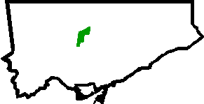
mapsize=150px
map_caption=Location of Bedford Park-Nortown within Toronto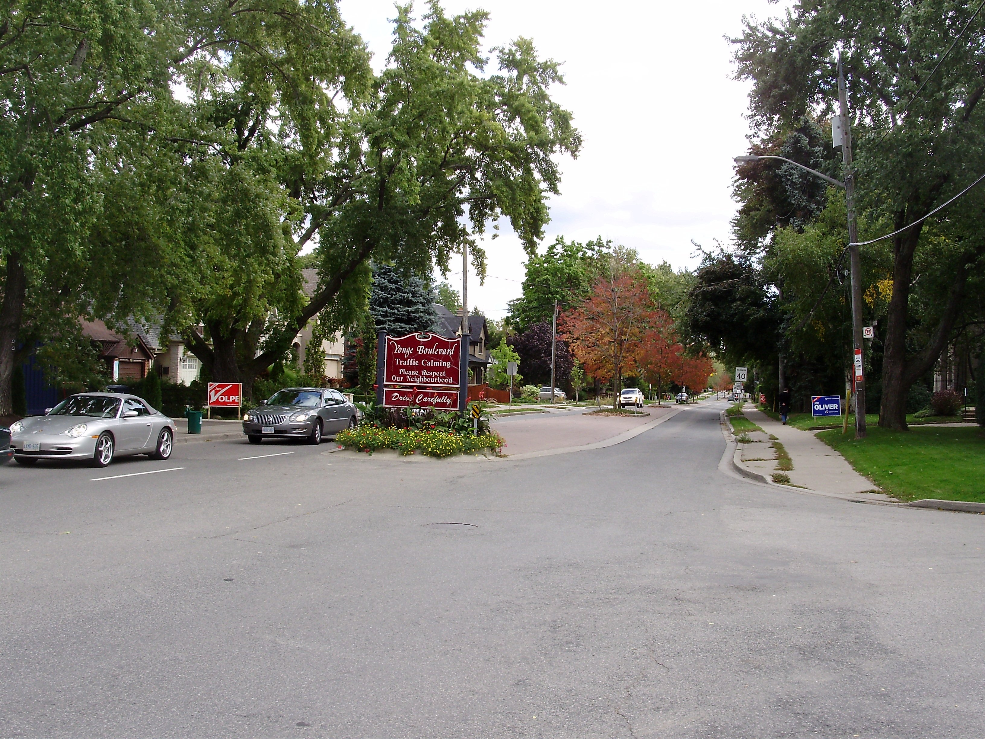
Bedford Park began as a farming hamlet north of
Toronto . The hamlet was a popular stopover for farmers making their way to market in the city. The neighbourhood was likely named after the Bedford Park Hotel, which opened in 1873 at the southwest corner ofYonge Street and Fairlawn Avenue, just north ofLawrence Avenue .In 1890 Bedford Park was amalgamated with the hamlets of Davisville and Eglinton to the south, and incorporated as the City of
North Toronto . In the same year, theMetropolitan Street Railway of Toronto began service to the area, encouraging residential development.Bedford Park is bisected by Yonge Street, lying north of Lawrence Avenue and east of Avenue Road. The northern boundary is Brooke Avenue on the West side of Yonge, and Snowdon Avenue to the east of Yonge. The eastern boundary is Roslin Avenue.
The original homes in the area were constructed between 1890 and 1940. Bedford Park was conceived as a
middle class housing development on the northern boundary of the city, with mid-sized detached and semi-detached homes. The relocation of theRosedale Golf Club in 1909 to the section of the Don Valley northeast of Bedford Park brought about development of the (more moneyed) bordering neighbourhoods of Lawrence Park and Teddington Park.Bedford Park's quiet streets, mature trees, good schools and parks, and proximity to the 401 and Lawrence subway station attract young professionals and their families to the neighbourhood. Many of the original homes still stand, with a number having undergone extensive renovations. A portion of the original homes in the neighbourhood have been torn down and replaced with larger, more modern homes.
City of Toronto Definition
The City of Toronto's neighbourhood definitions place Bedford Park within a larger neighbourhood, called Bedford Park-Nortown. The border of this larger area extend to
Bathurst Street on the west, Highway 401 to the north, Hillhurst Boulevard (just north ofEglinton Avenue ) to the south, and zigzags from northeast to southwest alongYonge Street andAvenue Road .The larger area now also encompasses Ledbury Park, which has turned into quite a large construction zone with the huge migration of young professionals to the area. The classic
bungalow s which dominated the area are being replaced by dumpsters and construction, which has vaulted the housing value disproportionately to the city average.External links
* [http://www.toronto.ca/demographics/cns_profiles/cns39.htm Bedford Park] neighbourhood profile at the City of Toronto website
* [http://www.torontoneighbourhoods.net/regions/toronto_north/47.html Bedford Park] as Toronto NeighbourhoodsToronto Neighbourhood Geography
North=Lansing-Westgate
East=St. Andrew-Windfields
Bridle Path-Sunnybrooke-York MillsLawrence Park
South=Forest Hill
West=Englemount-Lawrence
Center=Bedford Park-Nortown
width=88
Wikimedia Foundation. 2010.