- Clanton Park
-
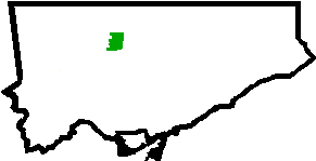
Clanton Park — Neighbourhood — 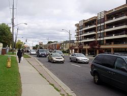 Location of Clanton Park within Toronto
Country  Canada
Province  Ontario
City  Toronto
Government - City Councillors Maria Augimeri (Ward 9 York Centre)
James Pasternak (Ward 10 York Centre)- Federal M.P. Mark Adler - Provincial M.P.P. Monte Kwinter Clanton Park, sometimes referred to as Dublin Heights or Wilson Heights, is a neighbourhood in the North York area of Toronto, Ontario, Canada. It is part of federal and provincial electoral district York Centre, and Toronto electoral wards 9: York Centre (West) and 10: York Centre (East). In 2006, it had a population of 13,035.[1]
It is bordered on the north by Sheppard Avenue West, on the west by the Downsview Airport whose border includes Wilson Heights Boulevard (north part) and Dufferin Street (south part), on the east by Bathurst Street, and on the south by Highway 401.
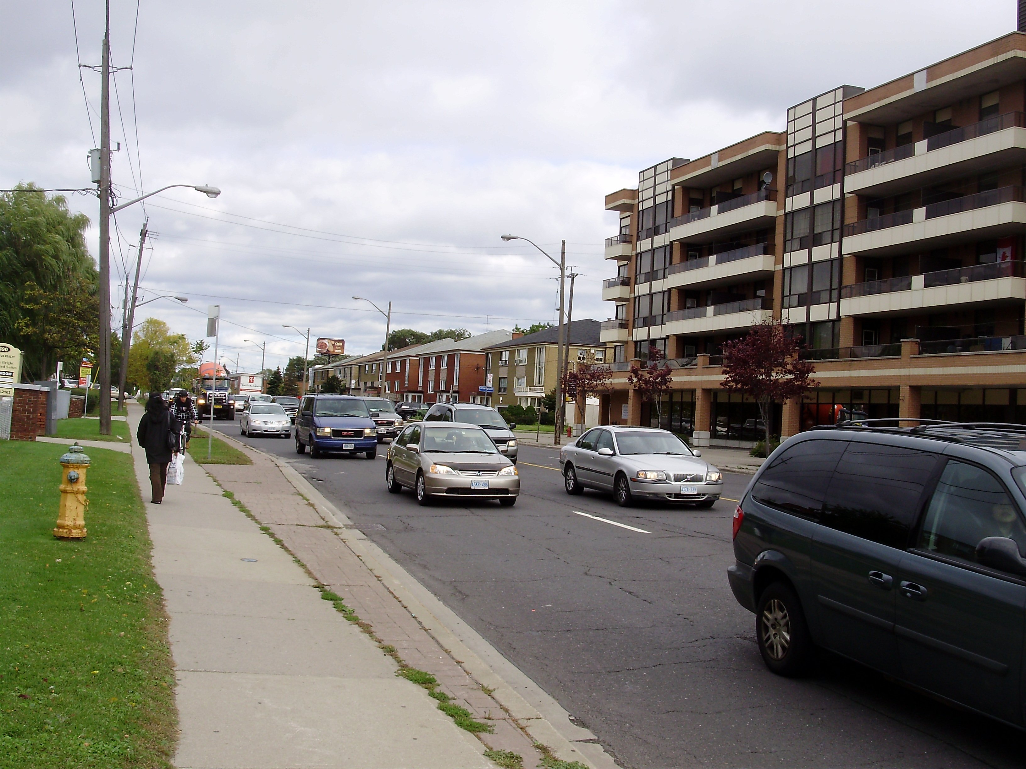
The neighbourhood is one of the largest Jewish areas of the city, but also contains a large number of residents of Italian, Filipino, and Russian origin. The housing ranges from 1950s bungalow style homes to new medium rise condominiums. There is some low income high rise housing.
Clanton Park is sandwiched between Downsview Park, formerly CFB Downsview, and Earl Bales Park, named after a former reeve of North York. It also contains several smaller parks.
Contents
History
William Duncan, a linen merchant from Ireland, settled a farm near the crossroads of Sheppard Avenue and Dufferin Street in 1827.[2] A crossroads village was named Dublin after this farm. A general store was constructed in the late 1830s. Duncan built the one-room Dublin schoolhouse in 1872.
The neighbourhood became part of the Township of North York which later became a borough and then a city, and was then incorporated into the city of Toronto.
A large tract of land between Wilson Heights Boulevard and Faywood Boulevard that formerly belonged to the Downsview airport was developed into housing around 1990.
Schools
There are two Toronto District School Board public schools; Dublin Heights Elementary and Middle School (the former Wilson Heights Junior High school was merged with Dublin Elementary School to form Dublin Heights in 1980) and Faywood Arts-Based Curriculum School.
St. Robert Catholic School, a Toronto Catholic school is located on Bainbridge Avenue. In 1969 the original school consisted of 10 classrooms, a library and had a total of 194 students. As the area grew, the enrolment increased and the need for a larger school developed. In 1973 enrolment grew to 346 students. The school was divided into two schools to accommodate the increase. St. Robert School South remained at 70 Bainbridge while St. Robert School North shared facilities with another school. In 1980 the north and south campuses of St. Robert Schools joined together on Sheppard Avenue. In 2004 St. Robert returned to a brand new facility on its original location on Bainbridge Avenue.
A private school, The Toronto Heschel School, is also located in the neighbourhood, occupying a building that formerly housed Dublin Elementary (until 1980) and then St. Robert Catholic School and Hudson College.
Notable buildings
The Beth David Synagogue, designed by Irving Grossman in 1959, is an example of cast concrete construction. The reliefs on the large concrete panels were designed by Canadian Artist Graham Coughtry. The Neil Family Cottage, built circa 1900 and moved to its current location circa 1910 appears on Toronto's inventory of heritage properties.[3] The neighbourhood is also home to the Anglican Church of the Apostles on Sheppard Avenue.
Transportation
The neighbourhood is served by two subway stations, Downsview and Wilson, as well as several TTC bus routes. The Allen Expressway and Highway 401 are adjacent to the neighbourhood.
Demographics
Clanton Park’s Top ten ethnic and cultural groups (by ancestry) in 2006:[1]
- 24% - Jewish
- 16% - Italian
- 15% - Filipino
- 9% - Polish
- 9% - Canadian
- 7% - English
- 7% - Russian
- 5% - Irish
- 4% - Scottish
- 4% - Chinese
1% Russian Jewish
The percentage of population below the poverty line dropped from 24% (in 1996) to 21% (in 2001).[1]
References
- ^ a b c City of Toronto Demographics for Clanton Park
- ^ David Duncan House web site, retrieved May 20, 2008
- ^ City of Toronto's Inventory of Heritage Properties
Further reading
- Clanton Park neighbourhood profile
- P.W. Hart, Pioneering in North York: A History of the Borough, General Publishing Company, Toronto, 1968.

Bathurst Manor Downsview 
Lansing-Westgate  Clanton Park

Yorkdale-Glen Park, Englemount-Lawrence Categories:- Neighbourhoods in Toronto
Wikimedia Foundation. 2010.