- Clairlea
-
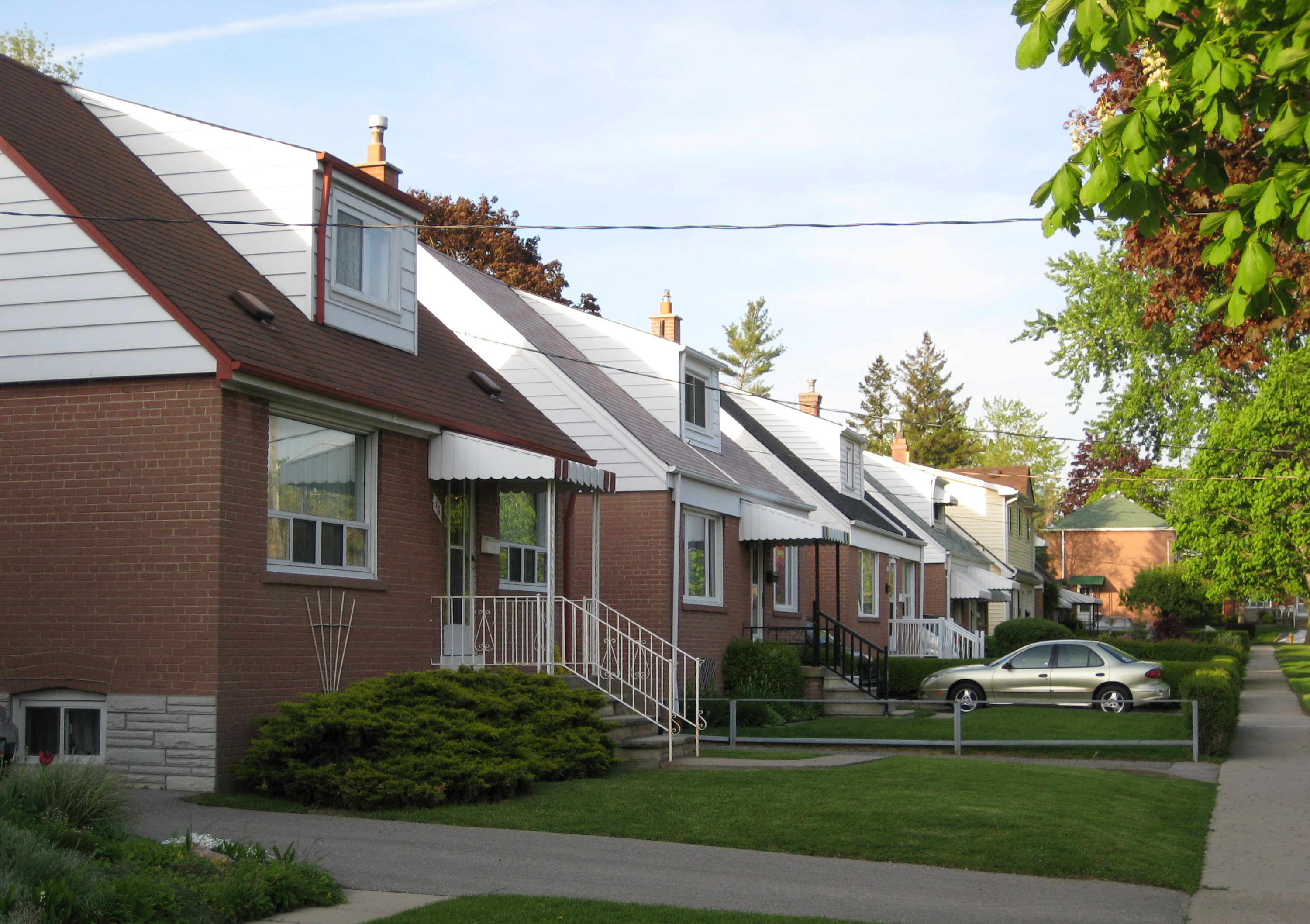
Clairlea — Neighbourhood — Homes in Clairlea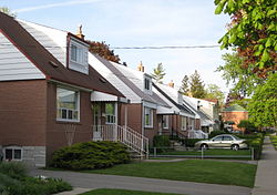 Vicinity
 Location within Toronto

Coordinates: 43°42′35″N 79°17′27″W / 43.70972°N 79.29083°W Country  Canada
Province  Ontario
City  Toronto
Community Scarborough Changed Municipality 1998 Toronto from  Scarborough
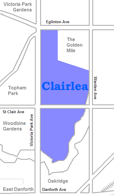
Government – MP Dan Harris (Scarborough Southwest) – MPP Lorenzo Berardinetti (Scarborough Southwest) – Councillor Michelle Berardinetti (Ward 35 Scarborough Centre) Clairlea is a neighbourhood of Scarborough, in the city of Toronto, Ontario, Canada. The neighbourhood is located in the western part of Scarborough just east of Victoria Park Avenue. To the north it is bounded by Eglinton Avenue and to the south by Taylor-Massey Creek and the railway tracks.
In the 19th century the intersection of St. Clair and Victoria Park was home to a small village named Moffat's Corners, and the rest of the region was rural. Clairlea was one of the first parts of Scarborough to be developed as a Toronto suburb, being transformed in the early 1950s. Today it is a middle income neighbourhood that features many affordable homes and mature streets. The Warden Woods ravine is a the landmark of the neighbourhood, offering some downtown nature.
People
There is a large Filipino contingency in this neighbourhood, at least compared to the rest of the city (8%) and a correspondingly large number of residents who speak Tagalog. The neighbourhood is quite diverse from languages spoken to religions practiced which is typical in the city of Toronto.
External links

Golden Mile O'Connor-Parkview (East York) 
Scarborough Junction  Clairlea

Oakridge Categories:- Neighbourhoods in Toronto
Wikimedia Foundation. 2010.