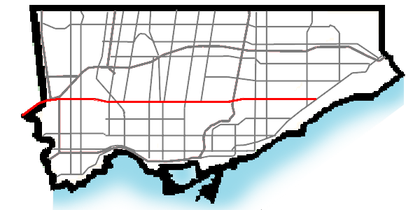
- Eglinton Avenue
-
"Ontario Highway 109" redirects here. For the highway in central Ontario that existed between 1958 and 1964, see Ontario Highway 121.
Eglinton Avenue

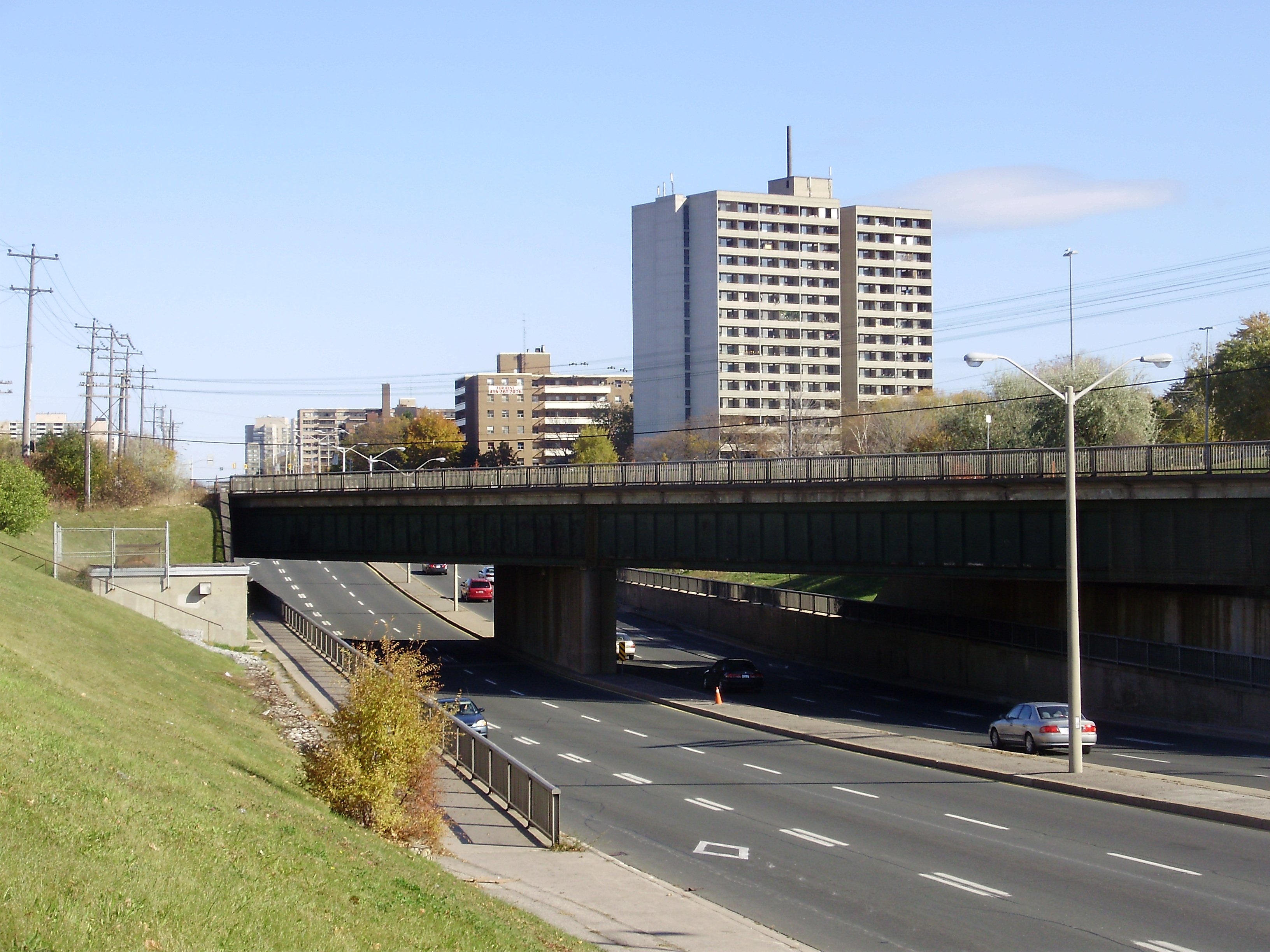
Route information Maintained by City of Toronto Location Major cities: Toronto, Mississauga Highway system Nearby arterial roads ← St. Clair Avenue Eglinton Avenue Lawrence Avenue →  Eglinton Avenue in Scarborough
Eglinton Avenue, originally known as the Richview Sideroad within Etobicoke, is an east-west arterial thoroughfare in Toronto and Mississauga, in the Canadian province of Ontario. Within Toronto, Eglinton Avenue is the only road which crosses through all six former boroughs. The road begins at 6th Line in Milton as Lower Baseline, becomes Eglinton Avenue as it crosses into Mississauga, then crosses through Toronto to end at Kingston Road.
Contents
Route description
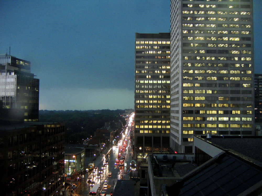
 Eglinton Avenue on a rainy day, with Canada Square and the Yonge Eglinton Centre
Eglinton Avenue runs through a number of neighbourhoods and is residential, for the most part, though it becomes a major commercial area from Allen Road to Don Mills Road. The Eglinton West area near Oakwood–Vaughan to Keele Street is home to a number of Caribbean and West Indian stores.
Eglinton Avenue is one of the few east-west routes north of Bloor Street that crosses Toronto uninterrupted in a more or less straight line across the entire city. Eglinton was also the only street to cross through all six municipalities that made up Metro Toronto: East York, Etobicoke, North York, Scarborough, Toronto, and York.
Sites along Eglinton
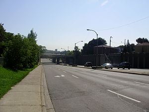 Eglinton Avenue West in Toronto, west of Black Creek Drive.
- Erin Mills Town Centre
- Centennial Park
- Eglinton Flats
- Eglinton Square
- The Golden Mile
- Yonge Eglinton Centre
- Canada Square
- Eglinton Park
- TVOntario Headquarters
- Sunnybrook Park
- Ontario Science Centre
- Little Jamaica
History
The road name originates from Eglinton Castle in Scotland. Like most roads in Toronto, Eglinton was rebuilt from a country road into an arterial thoroughfare in the mid 1950s. The eastern segment through Scarborough was known as Highway 5A between 1937 and 1953, when it was renumbered as Highway 109 for a year. Because of its time as a provincial highway, the right of way through Scarborough was widened considerably. A right of way was also acquired to bridge the gap in Eglinton. Until the mid fifties, Eglinton did not cross either of the valleys of the Don River. The road ended at Laird or Brentcliffe and resumed west of Victoria Park Avenue (then known as Dawes Road). The Department of Highways would drop the Highway 109 designation before this gap was closed, placing the property in the hands of the newly formed Metropolitan Toronto. Metro built the new Eglinton Avenue, first between Dawes Road and Don Mills Road in 1955, and later between Don Mills Road and Leaside in 1956.[1] The structure over the GO rail line and East Don River is known as the Harvey C. Rose Bridge, and honours the Chief engineer of the Toronto and York Roads Commission, later the Metropolitan Toronto Commission of Roads.[2]
Richview Expressway proposal
Main article: Richview ExpresswayThe western section ended at the Humber River until the 1970s. On the opposite side, Richview Sideroad followed the same alignment as far as the Toronto–Peel boundary. In 1943, city planner Norman Wilson indicated the possible future need for an new urban highway to connect Eglinton Avenue with the Richview Sideroad. These plans would mature into the Richview Expressway with the formation of Metropolitan Toronto in 1954. Part of the requirements for the Richview Expressway was staged construction of a parallel arterial road. This was approved in 1963, and construction began on Eglinton Avenue from west of Weston Road to Royal York Road. With its completion in 1970, the four lane Richview Sideroad was renamed Eglinton Avenue West.[3]
In Toronto, the right-of-way to construct the Richview Expressway remains but the project has never come to fruition, save for high-speed ramps from Eglinton to Highway 401 and Highway 427 at that complicated interchange. Local opposition has made the proposed expressway unlikely, though the land remains owned by the city.
Transit
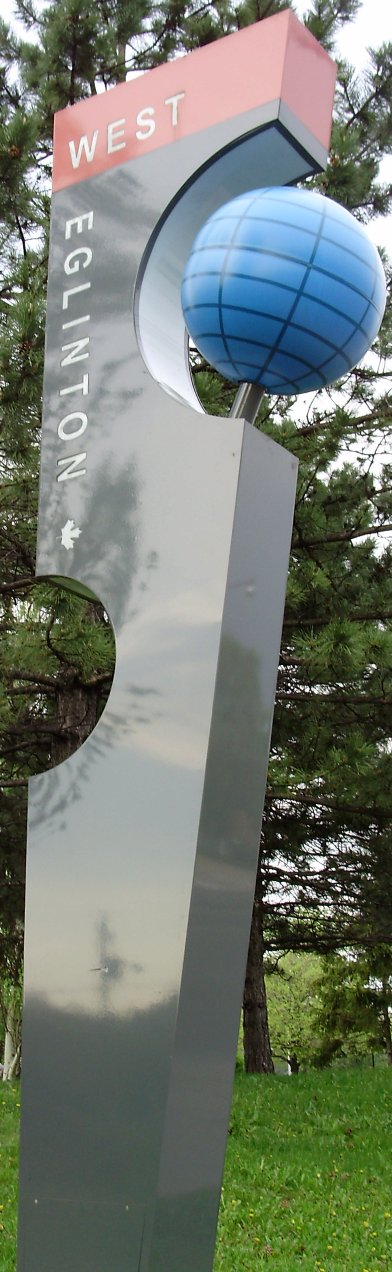
 An Eglinton West roadside marker
Buses
The Eglinton West (at Allen Road), Eglinton (at Yonge Street), and Kennedy TTC stations are located along Eglinton. In Toronto, the street is currently served by the 32 Eglinton West and 34 Eglinton East TTC bus routes. Also, the eastern portion east of Kennedy Subway Station is served by routes 86 Scarborough and 116 Morningside.
In Mississauga, MiWay's route 35 Eglinton serves almost the entire length of the road, 34 Credit Valley serves the section west of Square One, and 7 Airport serves the section east of Square One; also sections of the road are served by routes 17 Timberlea, 89 Meadowvale-Subway and 109 Meadowvale Express during peak hours.
Bus rapid transit
Main article: Mississauga TransitwayIn Mississauga, a grade-separated bus rapid transit line is undergoing construction since November 2010. Of the 12 BRT stations being built, four of them are planned to be built along Eglinton Avenue: Etobicoke Creek, Spectrum, Orbitor and Renforth. All of these stations are located at the Airport Corporate Centre at the east end of Mississauga, just south of Toronto Pearson International Airport. Renforth Station will become a hub for TTC, GO Transit, and MiWay buses; meanwhile, the other three will be served exclusively by MiWay.
Subway
Main article: Eglinton–Scarborough Crosstown lineSee also: Eglinton West subwayThe provincial government of Bob Rae started the Eglinton West line in 1994, as a way of appeasing politicians in Etobicoke and York (as North York would receive the Sheppard Subway), even though the official transit plan only recommended an Eglinton busway for the near future. The Eglinton subway was abandoned by Rae's successor Mike Harris, after a tunnel had been started from Eglinton West station.
The Eglinton Crosstown LRT, part of the TTC's Transit City light rail expansion program announced in 2007 called for an underground line to run from Jane Street to Laird Avenue, with above ground sections running to Pearson International Airport in the west and to Kennedy Station in Scarborough in the east. The provincial government's MoveOntario 2020 capital funding announcement in June 2007 funded the line.
Toronto mayor Rob Ford announced the cancellation of Transit City on the day that he took office.[4] The redesigned Eglinton–Scarborough Crosstown line along with a Sheppard line extension was announced four months later, with the support of Metrolinx and Ontario Premier Dalton McGuinty.[5]
The new redesign puts the 19km Eglinton portion completely underground, integrates the Scarborough RT portion, and will run contigously from Black Creek Drive in the west to McCowan Road in the east.
See also
References
- ^ "Over 200,000,000 Added to Assessment Rolls in 55' Realtors Told". Toronto Star: p. 12. February 5, 1955.
- ^ Annual Report, Department of Highways. 1956.
- ^ Clark, M. Review of the Richview Expressway. Metropolitan Toronto Transportation Plan Review. p. 10.
- ^ Mayor Rob Ford: “Transit City is over” Toronto Life December 1, 2010
- ^ "Funding questions linger after new transit plan announced" By Natalie Alcoba, National Post. March 31, 2011
Major roads in Toronto North-south Bathurst · Bayview · Birchmount · Brimley · Browns Line · Dufferin · Islington · Jane · Keele · Kennedy · Kipling · Leslie · Markham · Martin Grove · McCowan · Morningside · Royal York · Victoria Park · Warden · Weston · Woodbine · YongeOther streetsAvenue/University · Bay · Black Creek · De Grassi · Jameson · Jarvis · John · Lansdowne · Mount Pleasant · Ossington · Palmerston · Parliament · Roncesvalles · Spadina · VaughanEast-west Concession roadsBloor/Danforth · Eglinton · Finch · Lawrence · Sheppard · St. Clair · Steeles · The Queensway/Queen West/Queen East · York MillsOther streetsCollege/Carlton · Dundas · Eastern · Front · Gerrard · King · Kingston · Lake Shore · Queen's Quay · RaymoreExpressways and highwaysRoads in Mississauga Arteries (Primary Roads): Collectors (Secondary): Aeroquay • Bloor • Second Line WestRegional Roads: Highways and Expressways: Categories:- Roads in Peel Region
- Streets in Toronto

Wikimedia Foundation. 2010.