- Eglinton–Scarborough Crosstown line
-
Eglinton–Scarborough Crosstown

Overview Type Premetro System Toronto subway and RT Locale Toronto, Ontario Termini McCowan
Black Creek DriveStations Up to 26 Operation Opened 2020 (expected) Owner Metrolinx Operator(s) Toronto Transit Commission Depot(s) McCowan RT Yard
Black Creek Maintenance FacilityTechnical Line length 25.2 kilometres (15.7 mi) Route map Legend
Proposed
Phase II extension
Pearson Airport Terminal 1 

Silver Dart Convair 
Highway 401 Commerce Renforth Rangoon 
Highway 427 East Mall Martin Grove Widdicombe Hill/Lloyd Manor Kipling Wincott/Bemersyde Islington Russell/Eden Valley Royal York Mulham Place 
Humber River Scarlett Jane Weston 
CN Weston sub. & CP MacTier sub. 
↓ Phase 1/Phase 2 ↑ 

Black Creek Maintenance Facility 

Black Creek 

Black Creek 
Keele 
CN Newmarket sub. Caledonia Dufferin Oakwood 
Allen  1 Spadina line
← to Finch via Union to Downsview → Bathurst Chaplin Avenue Road Yonge 1 Yonge line← to Downsview via Union to Finch → Mount Pleasant Bayview Laird formerly Brentcliffe 
Don River (West branch) Leslie CP Don branch Don Mills Ferrand 

Don Valley Parkway Wynford 

Don River (East branch) 

Richmond Hill GO ← to Union to Richmond Hill → Bermondsey Victoria Park Pharmacy Lebovic Warden Birchmount Ionview 


Kennedy 2 Bloor–Danforth line G
G 

Lawrence East Ellesmere 
Stouffville GO ← to Union via Kennedy to Lincolnville → 
Midland 
Scarborough Centre 
McCowan 
McCowan Yard The Eglinton–Scarborough Crosstown line, or simply known as the Crosstown, is a planned light rapid transit line for the Toronto subway and RT in Toronto, Ontario, Canada that is under construction as of November 2011. It was formerly known as the Eglinton Crosstown LRT as part of the Transit City plan, but was renamed following the inclusion of the Scarborough RT portion. The line will be owned by Metrolinx but operated by the Toronto Transit Commission (TTC).
Most of the line will be newly constructed underneath Eglinton Avenue between Black Creek Drive in York to Kennedy Station in Scarborough, where it will connect to the Bloor–Danforth line. The line will then continue along the route of the Scarborough RT, which will be renovated and converted to operate with conventional light rail vehicles, and terminate at the existing McCowan Station. Collectively, the line will connect Toronto's west-end to its east-end. The line is expected to use a new fleet of light rail vehicles, rather than Toronto's subway cars or the ICTS Mark I intermediate capacity rail cars, which the TTC has long planned to replace. The cost of construction was announced as $8.2 billion, one of the most expensive rapid transit lines in the world.
An official groundbreaking ceremony was held at Keelesdale Park on November 9, 2011, attended by Toronto mayor Rob Ford and Ontario premier Dalton McGuinty. Tunnel boring is expected to commence in early 2012.
Contents
History
Transit City
Main article: Transit CityThe Eglinton Crosstown LRT was conceived as a partially underground light rail line, announced in 2007 by Toronto Mayor David Miller and TTC chair Adam Giambrone. It was part of the Transit City plan, which included the implementation of six other light rail lines across Toronto.
The original version of the line would have run from the Airport along Silver Dart Road to Convair Drive. The planned line would have then turned southwest, bridging over Highway 401 to reach Commerce Boulevard on the other side, where it would run south to reach Eglinton Avenue and the east end of the Mississauga Transitway. The rest of the line would run east along Eglinton Avenue, including a portion along which the previously-proposed Eglinton West subway would have been built. The line would then cut across the city, intersecting every subway and RT line, with the exception of the Sheppard Line.
There were a total of 43 stops planned for the Eglinton LRT, 13 of which would be underground.[1] Surface stops would be spaced on average 500m apart and the underground stations would be 850m apart on average, as constructing numerous underground stops would be costly. The average speed would also not be able to reach 22 kilometres per hour (14 mph), compared with the existing bus routes along Eglinton that have an average speed of 16 to 18 km/h (9.9 to 11 mph).[2] The line would terminate at Kennedy Station to the east in Scarborough where it would meet the Bloor–Danforth subway, the proposed Scarborough Malvern LRT and the Stouffville GO train line.
The proposed cost was $4.6 billion.[3] As a result of provincial funding cuts, construction of the line was divided into two phases: Phase One would end at Jane Street, and Phase Two would see the line terminate as originally planned at Pearson Airport.
Ford era
Miller's successor, Rob Ford, announced the cancellation of Transit City on the day that he took office.[4] The redesigned Eglinton–Scarborough Crosstown line along with a Sheppard line extension was announced four months later, with the support of Metrolinx and Ontario Premier Dalton McGuinty.[5]
The redesigned line would put the 19-kilometre Eglinton portion completely underground, integrate the Scarborough RT portion, and run contiguously from Black Creek to McCowan. The cost would almost double to $8.2 billion and 18 fewer stops would be built. Most of the additional cost comes from putting 12 additional stations underground and for converting the Scarborough RT.
Route and stations
The Eglinton–Scarborough Crosstown line will run for a total of 25.2 km (15.7 mi) from Black Creek Drive to McCowan Road, 19.5 km (12.1 mi) of it underground and 5.7 km (3.5 mi) elevated.[6] Initial plans had the line rising to the surface east of Brentcliffe Avenue.[7]
Government announcements have thus far been vague on the specific station stops, other than a a connection at Kennedy Station, and an above-ground continuation along the Scarborough RT route. There will be up to 26 stations in total, with an estimated 100 million trips annually in 2031.[8] The Presto card will be available for use across the line.
As of October 2011, the construction of the West Launch Shaft at Black Creek for the tunnel boring machines is underway.
Connections and facilities
Commerce Boulevard Possible connection to future Mississauga Transitway Jane Street Possible connection to future Jane LRT line Weston Road Possible future connection to Georgetown GO train line Keele Street 4-bay bus terminal proposed Caledonia Road Possible future connection to Barrie GO train line Allen Road Connection to Yonge–University–Spadina subway (Eglinton West Station) Yonge Street Connection to Yonge–University–Spadina subway (Eglinton Station) Don Mills Road Possible connection to future Don Mills LRT line; 5-bay bus terminal proposed Wynford Drive Possible future connection to Richmond Hill GO train line Kennedy Road Connection to Bloor–Danforth subway (Kennedy Station), Stouffville GO train line (Kennedy GO Station) Construction
The first part of tunnel construction involves the construction of a launch shaft for tunnel boring machines (TBMs) at Black Creek Drive, which will begin in the summer of 2011. Metrolinx ordered four TBMs at a cost of $54 million on July 28, 2010.[9] These TBMs will commence midtown tunnelling in the summer of 2012.[10] The average mining rate for a single machine is 75 metres a week of lined tunnel.
The upgrade and replacement of the Scarborough RT portion is scheduled to start in late 2015,[11] after the conclusion of the 2015 Pan American Games and the 2015 Parapan American Games. Scarborough RT riders will be bussed for three years until the upgrade is completed.[12]
Metrolinx and the TTC are considering opening the line in segments, rather than all at once. The project is targeted for completion in 2020.[8]
On November 9, 2011, in Keelesdale Park, mayor Rob Ford and premier Dalton McGuinty officially broke ground on the new project.[13]
Future expansion
The Eglinton–Scarborough Crosstown line will end at Black Creek Drive, but the proposed Phase II extension would continue west to Pearson International Airport's Terminal 1. It would then connect with the airport's LINK Train and the Air Rail Link to Union Station.
See also
References
- ^ "Eglinton Crosstown Light Rail Transit stops and stations" (PDF). City of Toronto. November 2010. http://www3.ttc.ca/PDF/About_the_TTC/Transit_City/Eglinton_LRT_route_diagram1.pdf. Retrieved 30 July 2011.
- ^ Spears, John (2008-08-09). "Distance between LRT stops criticized". Toronto Star. http://www.thestar.com/article/475187. Retrieved 2008-08-14.
- ^ "Eglinton Transit City line may survive". CBC. 2011-01-04. http://www.cbc.ca/news/canada/toronto/story/2011/01/04/eglinton-lrt-metrolinx653.html. Retrieved 2011-04-24.
- ^ Mayor Rob Ford: “Transit City is over” Toronto Life December 1, 2010
- ^ "Funding questions linger after new transit plan announced" By Natalie Alcoba, National Post. March 31, 2011
- ^ "Metrolinx / Toronto Transit Plan" Metrolinx. April 28, 2011
- ^ "City of Toronto: Get Involved > Eglinton Crosstown Light Rail Transit (LRT) > Frequently Asked Questions > Stations and Stops". City of Toronto. 20 August 2101. http://www.toronto.ca/involved/projects/eglinton_crosstown_lrt/index.htm. Retrieved 24 October 2011.
- ^ a b "Eglinton-Scarborough Crosstown Update" Metrolinx. June 23, 2011
- ^ "Metrolinx orders tunneling machines" By Tess Kalinowski, Toronto Star. July 28 2010
- ^ TTC Construction Update: June 2011
- ^ "Eglinton-Scarborough Crosstown Presentation Update - Community Meeting (York Civic Centre)" June 30, 2011
- ^ "Eglinton LRT ready to launch" By Tess Kalinowski, Toronto Star. June 29 2011
- ^ Crosstown Line Construction Begins
External links
- Official Crosstown project website
- TTC's Crosstown project website
- City of Toronto's Crosstown project website
Key people ProponentsOpponentsProjects Sheppard East LRT • Etobicoke-Finch West LRT • Eglinton Crosstown LRT • Jane LRT • Don Mills LRT • Waterfront West LRT • Scarborough Malvern LRTRelated MoveOntario 2020 • Scarborough RT • The Big MoveToronto Transit Commission Buses Blue Night Network • Fleet • Routes • Wheel-Trans • York University Busway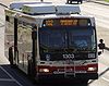
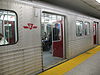
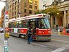
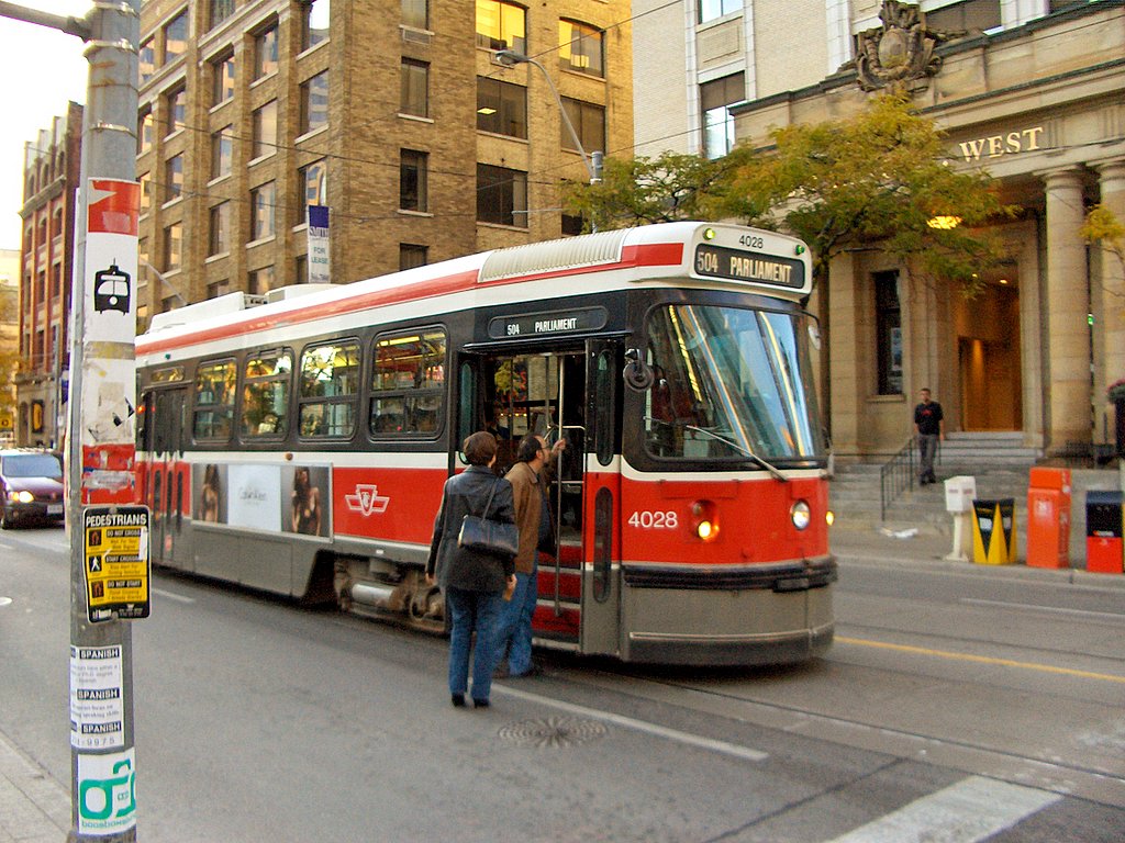
Subway/RT Bloor–Danforth • Scarborough RT (Eglinton–Scarborough Crosstown) • Sheppard • Yonge–University–Spadina • Rolling stock • Stations • SignalsStreetcar system 501 Queen • 502 Downtowner • 503 Kingston Rd • 504 King • 505 Dundas • 506 Carlton • 508 Lake Shore • 509 Harbourfront • 510 Spadina • 511 Bathurst • 512 St. Clair • Rolling stock • LoopsFacilities Arrow Road Bus Garage • Birchmount Bus Garage • Davisville Subway Yard • Eglinton Bus Garage • Greenwood Subway Yard • Hillcrest Complex • Lakeshore Bus Garage • Malvern Bus Garage • McCowan RT Yard • Mount Dennis Bus Garage • Queensway Bus Garage • Roncesvalles Carhouse • Russell Carhouse • Toronto Coach Terminal • Vincent Subway Yard • Wilson Bus Garage and Subway Yard • William McBrien BuildingHistory Williams Omnibus Bus Line • Toronto Street Railway • Toronto Suburban Railway Company • Toronto Railway Company • Toronto Civic Railways • Toronto Transportation Commission • Defunct facilities • Toronto Island Ferry • Gray Coach • Queen line • Lower Queen • Municipal Service Car • Network 2011 • Downtown Relief Line • 1995 Russell Hill subway accident • Eglinton West line • 2006 wildcat strike • 2008 strike • Transit City • Special Constable ServicesMiscellaneous Accessibility • Communications and Information System • Fares • Metrolinx • Obay • Personnel • Toronto Subway FontItalics indicate a proposed route or project under constructionCategories:- Toronto Transit Commission
- Toronto streetcar system
- Light rail in Canada
- Transit City
- Proposed public transport in Canada


Wikimedia Foundation. 2010.