- Highway 410 (Ontario)
Infobox road
state=ON
type=Hwy
route=410
alternate_name=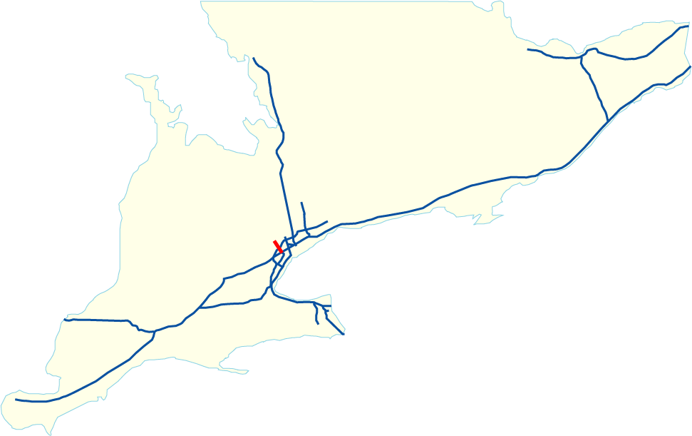
length_km=11.5
length_ref=Ministry of Transportation of Ontario , [http://www.raqsa.mto.gov.on.ca/techpubs/TrafficVolumes.nsf/tvweb 2004 Annual Average Daily Traffic] ]
length_round=1
established=1979Fact|date=September 2007
direction_a=South
terminus_a=jct|state=ON|Hwy|401|Hwy|403 inMississauga
junction=
direction_b=North
terminus_b=jct|state=ON|RR|14|county1=Peel in Brampton
previous_type=Hwy
previous_route=409
next_type=Hwy
next_route=416
commons=categoryHighway 410 is a 400-Series highway in
Ontario ,Canada that connects Highways 401 and 403 withToronto 's western suburbs ofMississauga and Brampton. Its total length is 11.5 km.A notable feature of Highway 410 is the 4 level interchange with 401 and 403 which includes a spectacular flyover ramp from 401 eastbound to 410 northbound. From 401-403 to
Steeles Avenue , Highway 410 has a wide grass median with the capacity to add 2 lanes per direction.History
Ontario Premier
Bill Davis , who was known as "Brampton Billy", initiated Highway 410 during his administration. The first step in the 1970s was redirecting of Highway 403's (Mississauga section) eastern terminus towards Highway 401 instead of having it continue towards Highway 427 as originally planned. Highway 410 was then added to the 401-403 junction as a partial interchange with Highway 401 (eastbound only) and the rest of Highway 410 was constructed as atwo-lane freeway . By the early 1980s, the northern part of Highway 410 from Clark Boulevard to Bovaird Drive was a limited-access 4 lane expressway; Clark Boulevard and Queen Street were the original interchanges at the time.In the late eighties and early 1990s, Highway 410 was expanded to its current form concurrent with the construction of Highway 407. The freeway was widened to 6 lanes south of Clark Boulevard, with much of the work involving the twinning of the existing carriageway which was later redesignated as the northbound lanes. High-mast lighting was installed and new interchanges were added with Courtneypark Drive and Derry Road; the latter which was designed to accommodate the Highway 407 "clover-stack" junction undergoing construction nearby. In the late 1990s, Highway 410 was widened from 4 to 6 lanes north of Clark Boulevard.
The Ministry of Transportation planned in the late 1990s for Highway 410 to replace the Highway 403 designation for the latter's Mississauga segment, after deciding that the Mississauga-Hamilton gap would be built as the toll Highway 407 instead of a Highway 403 extension; that would have eliminated confusion with the now disconnected Highway 403 segment from Woodstock to Hamilton. This was later rejected as the change would potentially confuse motorists accustomed to the original number which had been in use since 1982. Besides, Highway 403 is an east-west freeway for the most part, while Highway 410 runs north-south (and is intended to maintain that orientation for future extensions). In the end, it was decided that the
Queen Elizabeth Way between the two 403 segments would be co-signed with Highway 403 instead.Present plans
As of 2007 , a northerly extension of Highway 410 (to Highway 10 just north of the Caledon/Brampton border) is in the design and construction stages. Currently, both north- and southbound lanes between Bovaird Drive and Mayfield Road have been paved and opened, marking the completion of phase 2 of the extension. The final part of the extension (Phase 3) from Mayfield Road to Highway 10 is underway and should be completed in the next few years. Preparations can be seen north of Mayfield Rd and also east of Hwy 10 between Valleywood Blvd and Highwood Rd. Currently, the extension of Highway 410 that is under construction has the temporary designation of "Highway 7276", and will be re-numbered as an extension of Highway 410 upon completion.Certain residents in the Valleywood Subdivision of Caledon remain concerned about the extension, because some of their homes may be as close as 65 metres to the planned extension.
Long-term plans
There are long-term plans for Highway 410 continue on to Orangeville, Shelburne and Owen Sound. This differs from the other north-south 400-series Highways in the
Greater Toronto Area , as 427, 400 and 404 run parallel but 410 does not.Volume information (2005)
*Highest Volume: 162,600 AADT at Highway 401/Highway 403
*Lowest Volume: 110,600 AADT at Williams ParkwayLane configurations from south to north
ee also
References
External links
* [http://ogov.newswire.ca/ontario/GPOE/2007/08/23/c9450.html?lmatch=&lang=_e.html Canada NewsWire Press Release]
* [http://maps.google.ca/maps?f=d&hl=en&geocode=&saddr=43.639057,-79.660492&daddr=Unknown+road+%4043.726620,+-79.763820&mrcr=0&mrsp=0&sz=13&mra=dme&sll=43.648001,-79.656887&sspn=0.051424,0.106258&ie=UTF8&ll=43.684508,-79.704437&spn=0.102786,0.212517&t=h&z=12&om=1 Google Maps: Highway 410 route]
Wikimedia Foundation. 2010.