- Highway 416 (Ontario)
Infobox road
state=ON
type=Hwy
route=416
alternate_name=Veterans Memorial Highway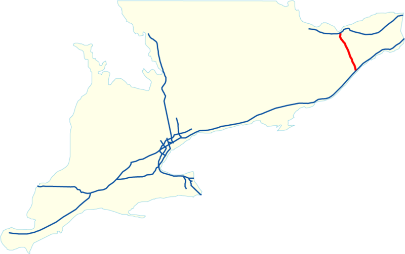
length_km=75.9
length_ref=Ministry of Transportation of Ontario , [http://www.raqsa.mto.gov.on.ca/techpubs/TrafficVolumes.nsf/tvweb 2004 Annual Average Daily Traffic] ]
length_round=1
established=1996Fact|date=September 2007
direction_a=South
terminus_a=jct|state=ON|Hwy|401 near Prescott
junction=
direction_b=North
terminus_b=jct|state=ON|Hwy|417 near Ottawa
previous_type=Hwy
previous_route=410
next_type=Hwy
next_route=417Highway 416, named the Veterans Memorial Highway, is a 400-Series Highway in eastern Ontario that connects between Highway 417 in Ottawa and Highway 401 near Prescott. It acts as an important trade corridor from
Interstate 81 between New York andeastern Ontario via 60 km of Highway 401.History
Highway 416 is the newest MTO-operated 400-series highway, and was built to completion in the 1990s, opening in its entirety in 1999. It was built in 2 stages:
Highway 416 "South" was a twinning of a 57 km stretch of the existing two-lane Highway 16, which was experiencing congestion and safety concerns. The existing Highway 16 became the northbound lanes of the new freeway. In the 1970s, Highway 16 had been realigned as a
two-lane freeway , with sufficient right-of-way for expansion to four lanes if traffic volumes warranted. A very small stretch of Highway 16 retains the former designation, connecting the freeway to the eastbound Highway 401, the old Highway 2 and theOgdensburg-Prescott International Bridge at Johnstown.Highway 416 "North", 21 km long, was built on a new alignment to bypass the existing Highway 16 which ran through a well developed area of Ottawa and Nepean, and the Central Experimental Farm. 416 "North" had to overcome numerous problems including
Leda clay which was initially unsuitable for roadbed construction. Special engineering techniques were used to bolster the road's stability in areas where the roadway had to cross clay deposits. [ [http://www.mto.gov.on.ca/english/traveller/416/conquer.htm "Conquering the Leda clay"] , Ontario Ministry of Transportation.]The entire route is a four-lane controlled access
freeway , linking the National Capital Region to Highway 401. The project was a cost-sharing venture between the provincial and federal governments.The routing was somewhat controversial, since for many years other routes had been anticipated for the Ottawa to Highway 401 freeway connection. In the 1960s, it had been expected that the alignment would remain near the former Highway 16 route close to the
Rideau River , branching northward alongside Merivale Road into the city. Such plans did not survive local scrutiny, as too many neighbourhoods would have been disrupted. Later, possible routes under review included the Highway 7 corridor west to Carleton Place and then following Highway 15's routing south to Kingston. While 4-lane freeway expansion of Highway 7 to Carleton Place started phased construction in August 2006 with a four year duration, "Highway 415" is unlikely.The final Highway 416 alignment is near the historical Highway 16 route, except for the northmost 21 kilometres, where the alignment jogs westward to connect with Highway 417 near
Bayshore Shopping Centre in Ottawa's west end.Highway 416 is notable for its extremely wide median (some overpasses require 2 spans), as well as several engineering innovations designed to minimize environmental impacts. Severe groundwater problems had to be overcome for the sunken section near Lynwood Village in Ottawa.
Three years after most of the highway was opened to traffic, after a concerted lobbying campaign which gained public support, on
June 6 ,1999 , Highway 416 was dedicated as "Veterans Memorial Highway", with distinctive blue signs posted at various points along the route, in remembrance of Ontario's veterans.Volume information (2005)
* Highest Volume: 37,000 AADT from Holly Acres Road/Richmond Road (Exit 75A) to Highway 417 (Exit 75B/C)
* Lowest Volume: 10,300 AADT from Leeds and Grenville County Road 44 (Exit 28) to Leeds and Grenville County Road 43 (Exit 34)Interchanges from south to north
References
External links
* [http://maps.google.ca/maps?f=d&hl=en&geocode=&saddr=44.741308,-75.497532&daddr=Exit+75B+%4045.343900,+-75.812420&mrcr=0&mrsp=0&sz=14&mra=dme&sll=44.741856,-75.494614&sspn=0.025239,0.053129&ie=UTF8&ll=45.063822,-75.627136&spn=0.803144,1.700134&t=h&z=9&om=1 Google Maps: Highway 416 route]
Wikimedia Foundation. 2010.