- Casa Loma (neighbourhood)
Infobox City
official_name = Casa Loma
subdivision_type2 = Country
subdivision_name2 =Canada
subdivision_type1 = Province
subdivision_name1 =Ontario
subdivision_type = City
subdivision_name =Toronto 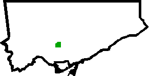
mapsize=150px
map_caption=Location of Casa Loma within Toronto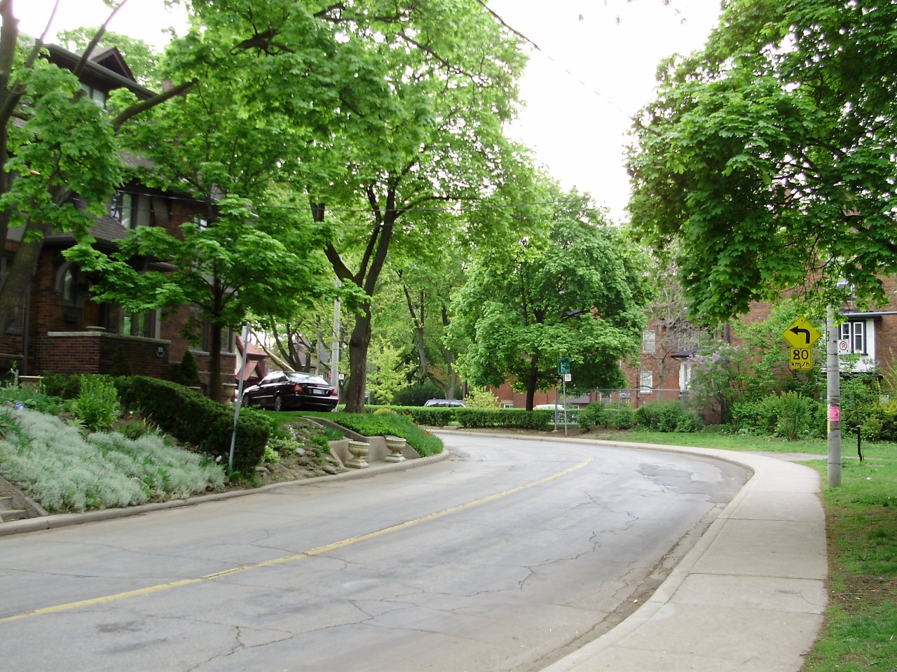
Casa Loma is a neighbourhood in the city of
Toronto and is named after the famous castle. It is bounded on the north by Spadina Road and Lonsdale Road, on the east byAvenue Road , on the south by the CP railway tracks, and on the west byBathurst Street .St. Clair Avenue runs through the northern third of the neighbourhood, and transit access is provided by the TTC's St. Clair West station and 512 St. Clair streetcar route.The image of a castle atop the Avenue Hill road, surrounded by ravines, large old trees, joggers and
BMW s is an eclectic mix, considering the neighbourhood is located close to downtown Toronto.Casa Loma was constructed in the early 1900s for over three million dollars and was given to the city by its heavily debt-laden owner only a decade after it was put up.
The prominence of the castle led to a huge boom in the area, with many wealthy residents setting up shop and defining the present neighbourhood.
External links
* [http://www.toronto.ca/demographics/cns_profiles/cns96.htm City of Toronto - Casa Loma Neighbourhood Profile]
Toronto Neighbourhood Geography
North=Forest Hill South
East=Yonge-St. Clair
South=The Annex
West=Wychwood
Center=Casa Loma
width=88
Wikimedia Foundation. 2010.