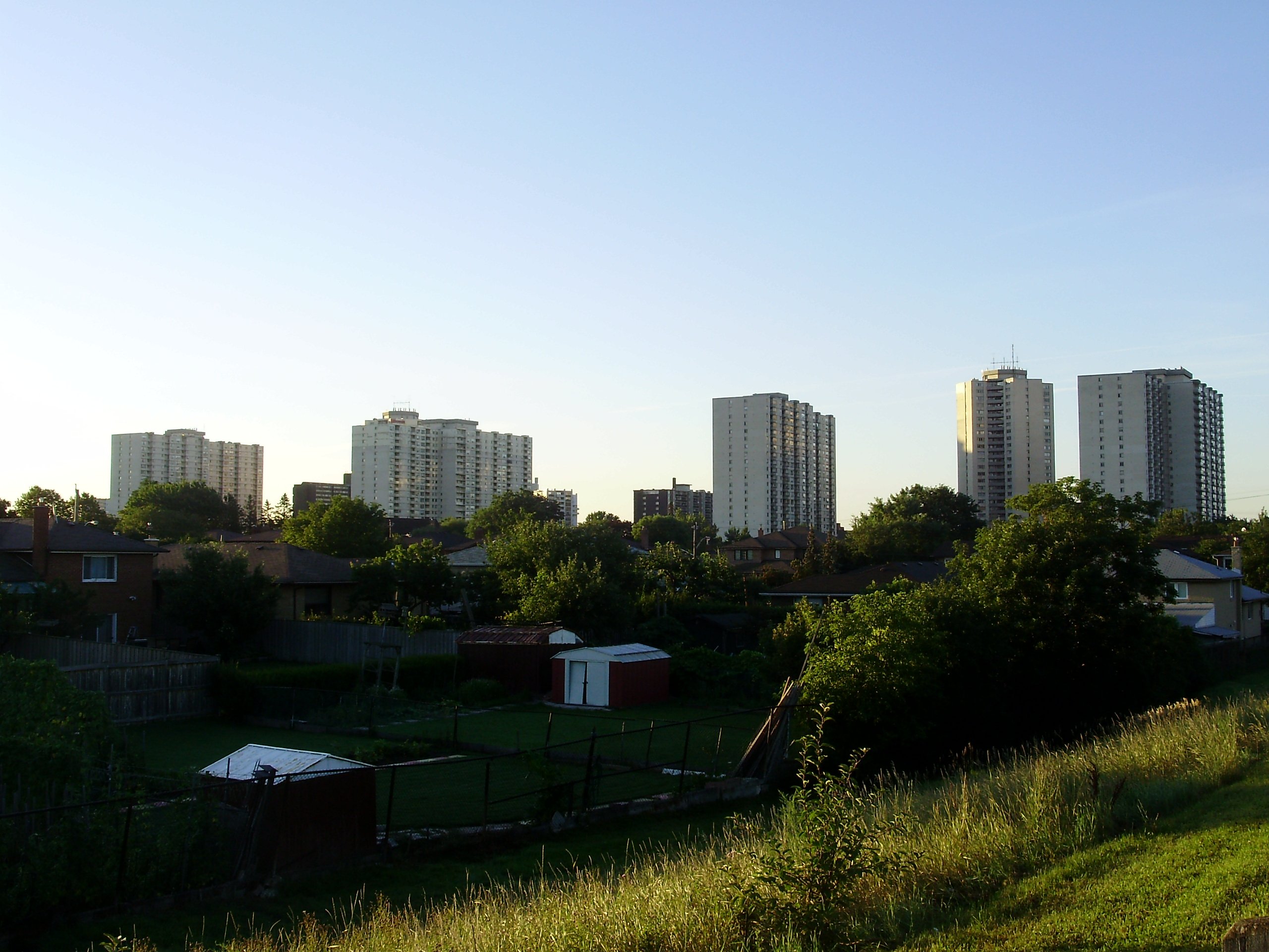
- The Westway
Infobox City
official_name = Kingsview Village-The Westway
subdivision_type2 = Country
subdivision_name2 =Canada
subdivision_type1 = Province
subdivision_name1 =Ontario
subdivision_type = City
subdivision_name =Toronto 
mapsize=150px
map_caption=Location of Kingsview Village-The Westway within Toronto
Kingsview Village-The Westway is a neighbourhood in the city of
Toronto ,Ontario ,Canada . It is located in the north end of the former city of Etobicoke, and is bounded on the north by Highway 401, on the east by theHumber River and St. Phillips Road, on the south by the Westway, and on the west byKipling Avenue and Dixon Road. It is relatively close toToronto Pearson International Airport in Mississauga, and TTC bus routes connect it to the rest of the city.This neighbourhood is home to a very diverse community that contains amongst others a sizeable Somalian population. From single family homes to high rises, this is a diverse neighbourhood in all aspects.
External links
[http://www.toronto.ca/demographics/cns_profiles/cns6.htm City of Toronto - Kingsview Village-The Westway Neighbourhood Profile]
Toronto Neighbourhood Geography
North =West Humber-Clairville
Elms-Old Rexdale
East =Pelmo Park-Humberlea
WestonHumber Heights-Westmount
South =Willowridge-Martingrove-Richview
West =West Humber-Clairville
Center = Kingsview Village-The Westway
Wikimedia Foundation. 2010.
