- Crawford, Kansas
-
Crawford, Kansas — Unincorporated community — 
 Crawford, Kansas
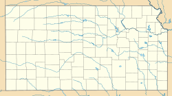
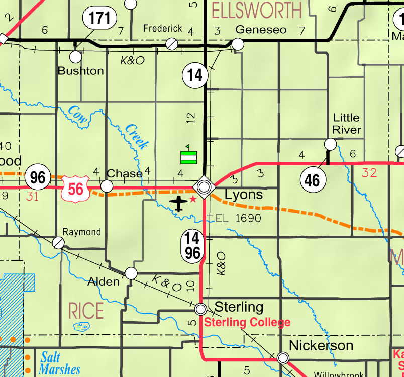
Coordinates: 38°30′48″N 98°2′6″W / 38.51333°N 98.035°WCoordinates: 38°30′48″N 98°2′6″W / 38.51333°N 98.035°W Country United States State Kansas County Rice Elevation 1,686 ft (514 m) Time zone Central (CST) (UTC-6) – Summer (DST) CDT (UTC-5) Area code(s) 620 GNIS feature ID 484739[1] Crawford is an unincorporated community in Galt and Odessa Townships in Rice County, Kansas, United States. It lies along K-4 about 6 miles (9.7 km) east of Geneseo.[2]
References
- ^ "US Board on Geographic Names". United States Geological Survey. 2007-10-25. http://geonames.usgs.gov. Retrieved 2008-01-31.
- ^ DeLorme. Kansas Atlas & Gazetteer. 4th ed. Yarmouth: DeLorme, 2009, p. 47. ISBN 0-89933-342-7.
Municipalities and communities of Rice County, Kansas Cities 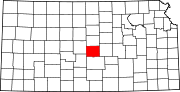
Unincorporated
communitiesCrawford | Galt | Mitchell | Pollard | Saxman | Silica
Categories:- Unincorporated communities in Kansas
- Populated places in Rice County, Kansas
- Kansas geography stubs


Wikimedia Foundation. 2010.