- Patterson, New York
-
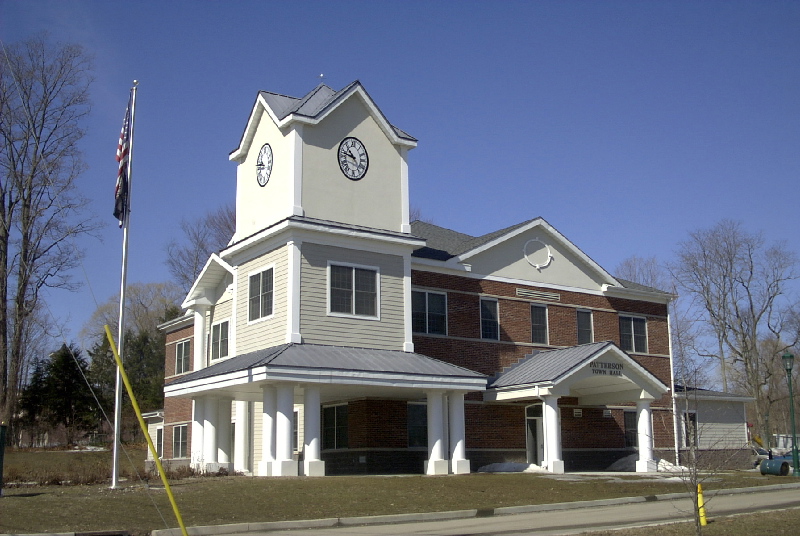
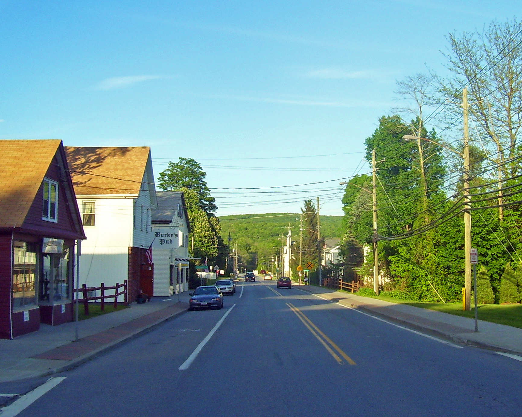
Patterson Town  Town Hall
Official name: Town of Patterson Name origin: after local farmer Mathew Paterson Country United States State New York Region Hudson Valley County Putnam Coordinates 41°28′N 73°35′W / 41.467°N 73.583°W Highest point Cranberry Mountain - elevation 1,232 ft (376 m) - coordinates 41°30′N 73°34′W / 41.5°N 73.567°W Lowest point East Branch Croton River at south town line - elevation 430 ft (131 m) - coordinates 41°27′N 73°24′W / 41.45°N 73.4°W Area 32.9 sq mi (85 km2) - land 32.3 sq mi (84 km2) - water 0.6 sq mi (2 km2) Population 11,306 (2000) Density 350.4 / sq mi (135 / km2) Founded 1795 Supervisor Michael Griffin Timezone EST (UTC-5) - summer (DST) EDT (UTC-4) ZIP Code 12563 Area code 845 Exchange 278 FIPS code 36-56748 GNIS feature ID 0979345 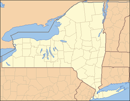
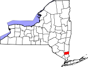
 Location of Patterson within the state of New York
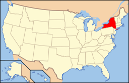 Location of New York in the United States
Wikimedia Commons: Patterson, New York Website: Town of Patterson, NY Patterson is a town in Putnam County, New York, United States. The town is in the northeast part of the county. Interstate 84 passes through the southwest part of the town. The population was 11,306 at the 2000 census. The town is named after early farmer Matthew Paterson. The reason Patterson was spelled with two "t"s was due to the looseness in which Paterson spelled his own last name.[1]
Contents
History
The town was first settled around 1720 in the "Oblong," which was a disputed area in southeastern New York also claimed by the colony of Connecticut. The Oblong was a strip of land approximately 2.9 km wide between Dutchess County New York and Connecticut, ceded to New York in the 1731 Treaty of Dover. Between 1720 and 1776 a large number of mostly Connecticut families settled in the southern Oblong who could not settle west of it because that land was privately owned by the Phillipse Family, who owned virtually all of the rest of the future Putnam County. The first such settlers were the Hayt family, who built a house at The Elm in 1720.[2] Another early settler was Jacob Haviland, who settled Haviland Hollow in 1731. The first village in Putnam County, the hamlet of Patterson, was originally called Frederickstown, which lent its name to the eastern part of the future Putnam County other than the oblong, which was called Southeast Precinct (not the same as the current town of Southeast). In 1788, when a portion of the Oblong was chartered as the Town of Southeast, the remainder of the region was chartered as the Town of Fredericktown. In 1795, Fredericktown township was split up into three parts: the Town of Carmel, the Town of Franklin which was renamed the Town of Patterson in 1808, and the remnant of the town, which was the Town of Frederick for a while, but was renamed the Town of Kent in 1817. Also in 1795, the Town of Southeast took on its current shape by losing its northern half to Franklin (Patterson) and expanded on its west.[3]
People
- Pete Seeger - musician [4]
- Jed Taylor - Radio Announcer, Music Producer[citation needed]
Geography
According to the United States Census Bureau, the town has a total area of 32.9 square miles (85 km2), of which, 32.3 square miles (84 km2) of it is land and 0.6 square miles (1.6 km2) of it (1.95%) is water.
The north town line is the border of Dutchess County, New York, and the east town line is the border of Connecticut.
Demographics
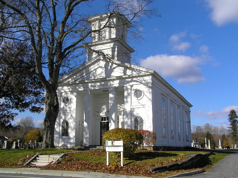
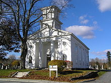 Patterson Presbyterian Church
As of the census[5] of 2000, there were 11,306 people, 3,529 households, and 2,678 families residing in the town. The population density was 350.4 people per square mile (135.3/km²). There were 3,746 housing units at an average density of 116.1 per square mile (44.8/km²). The racial makeup of the town was 91.28% White, 3.56% African American, 0.16% Native American, 1.27% Asian, 0.03% Pacific Islander, 1.95% from other races, and 1.76% from two or more races. Hispanic or Latino of any race were 7.01% of the population.
There were 3,529 households out of which 41.3% had children under the age of 18 living with them, 63.0% were married couples living together, 9.6% had a female householder with no husband present, and 24.1% were non-families. 18.6% of all households were made up of individuals and 5.2% had someone living alone who was 65 years of age or older. The average household size was 2.86 and the average family size was 3.29.
 Patterson Library
In the town the population was spread out with 26.7% under the age of 18, 7.0% from 18 to 24, 36.8% from 25 to 44, 22.9% from 45 to 64, and 6.7% who were 65 years of age or older. The median age was 36 years. For every 100 females there were 106.0 males. For every 100 females age 18 and over, there were 104.5 males.
The median income for a household in the town was $66,250, and the median income for a family was $75,746. Males had a median income of $50,161 versus $37,975 for females. The per capita income for the town was $26,103. About 3.7% of families and 4.9% of the population were below the poverty line, including 6.0% of those under age 18 and 11.2% of those age 65 or over.
Transportation
Two main thoroughfares run through Patterson, NY State Route 22 & State Route 311. State Route 22 runs through every town on the East side of Putnam County, and runs directly through the Business District of Patterson. I-84 passes in the southwest and houses Exit 18 for Route 311. Metro-North Railroad has rail commuter rail service to New York City via the Harlem Line, with the Patterson train station in the town center.
Communities and locations in Patterson
- Barnum Corners – A hamlet west of Putnam Lake.
- Camp Brady – A location in the western part of the town.
- Cascade Farm and Farm School Inc. – A small Community Supported Agricultural farm on Harmony Road off Rte. 292 in Patterson.
- Fields Corners – A hamlet in the southwest part of the town.
- Haines Corners – A hamlet southwest of Haviland Hollow.
- Haviland Hollow – A hamlet northwest of Putnam Lake.
- Patterson – A hamlet in the north part of the town.
- Putnam Lake – A hamlet west of the lake named Putnam Lake, which is in the eastern part of the town by the Connecticut border.
- Steinbeck Corners – A hamlet in the southern part of the town.
- Thunder Ridge – A ski area located north of Putnam Lake.
- West Patterson – A hamlet west of Patterson hamlet.
- Haviland Hollow Farm – A polo and equestrian facility, built on historic Colonial River Farm located on East Branch Road in Patterson.
- Watchtower Educational Center, a religious school, office, and residence complex operated by Jehovah's Witnesses’ Watchtower Society; the facility draws thousands of domestic and international visitors each year to its free guided tours and by-invitation educational programs.
References
- ^ Historic Patterson, NY |url=http://www.historicpatterson.org/Exhibits/ExhIntroduction.php |title=The Patterson Historic District 1 |accessdate=2011-02-15
- ^ http://www.historicpatterson.org/Exhibits/ExhMiscellaneous.php
- ^ "Putnam County history". Rootsweb. 2007. http://www.rootsweb.com/~nyputnam/putnam1841.html. Retrieved 2008-01-15.
- ^ Taskin, Richard. "Pete Seeger Appreciation Page". http://www.peteseeger.net/biograph.htm. Retrieved 2009-05-06.
- ^ "American FactFinder". United States Census Bureau. http://factfinder.census.gov. Retrieved 2008-01-31.
External links
- Town of Patterson, NY
- Historic Patterson: History of Patterson, NY
- History of Patterson, NY
- Patterson Library
- Boy Scout Troop 440 Patterson
- Map of Patterson, NY by MapQuest
- Patterson, New York at the Open Directory Project
Municipalities and communities of Putnam County, New York Towns Carmel | Kent | Patterson | Philipstown | Putnam Valley | Southeast
Villages CDPs Brewster Hill | Carmel | Lake Carmel | Mahopac | Peach Lake‡ | Putnam Lake
Other
hamletFootnotes ‡This populated place also has portions in an adjacent county or counties
Categories:- Towns in New York
- Populated places in Putnam County, New York


Wikimedia Foundation. 2010.