Patterson (Metro-North station)
- Patterson (Metro-North station)
Infobox Station
name=Patterson
style=MNRR Harlem
logo=
logo_size=

image_size=300px
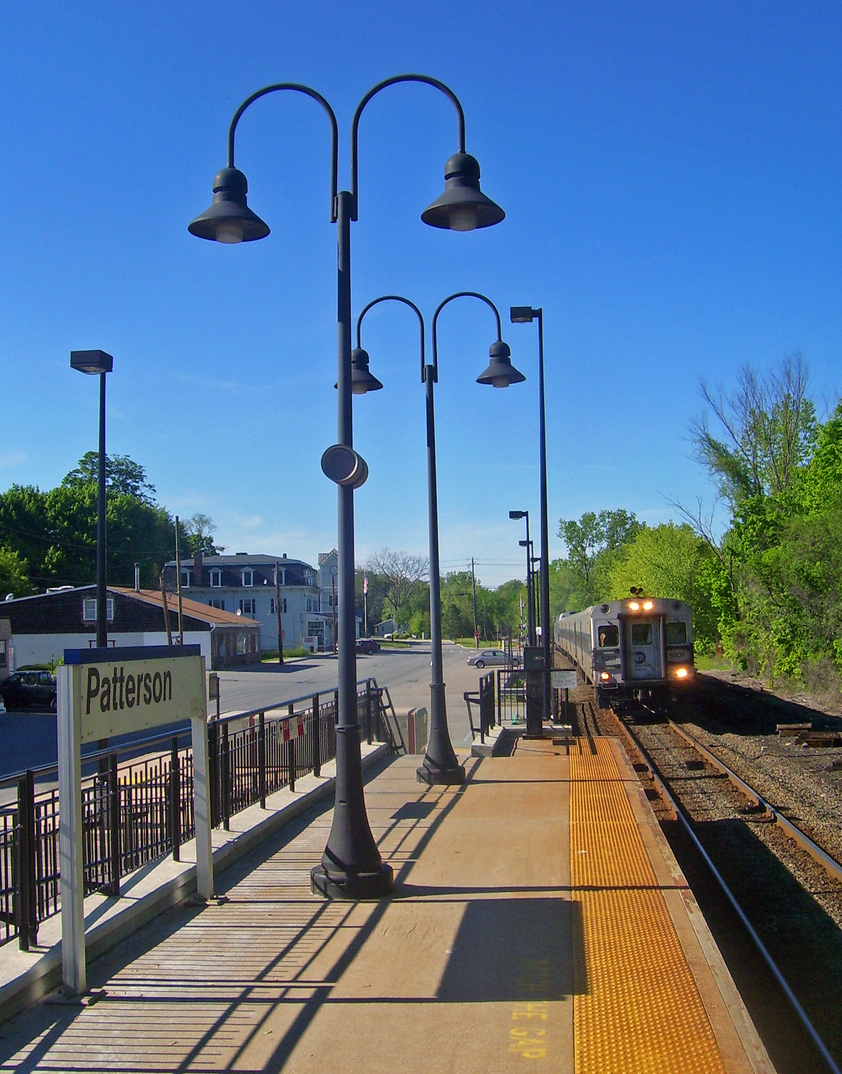
image_caption=Southbound train approaching Patterson station
address=1 Front Street & Center Street (Route 22), Patterson, NY
line=
other=Putnam Area Rapid Transit (Route 3)
platform=
tracks=
parking=
bicycle=
passengers=30,160
pass_year=2006
pass_percent=0
opened=
rebuilt=
ADA=
code=
owned=
zone=8
services=Patterson is a Metro-North Railroad station that serves the residents of Patterson, New York via the Harlem Line. Trains leave for New York City every two hours, and about every 30 minutes during rush hour. It is 60.2 miles (96 km) from Grand Central Terminal and travel time to Grand Central is approximately one hour, 42 minutes.
The station consists of a single platform on the west side of the single track line. This station is the first/last station in the Zone 8 Metro-North fare zone.
It is the northernmost station on the line in Putnam County, and the first station beyond the end of electrification.
External links
* [http://as0.mta.info/mnr/stations/station_detail.cfm?key=164 Metro-North Railroad - Patterson]
Wikimedia Foundation.
2010.
Look at other dictionaries:
Reisterstown Plaza (Metro Subway station) — Infobox Station style= name = Reisterstown Plaza logo size = image size = image caption = Subway train at Reisterstown Plaza, heading for Owings Mills address = Wabash Avenue between Patterson Avenue and Mt. Hope Drive Baltimore, MD 21215 line =… … Wikipedia
Patterson, New York — Coordinates: 41°28′N 73°35′W / 41.467°N 73.583°W / 41.467; 73.583 … Wikipedia
Plan du metro de Londres — Plan du métro de Londres Tube map (plan du tube) est le nom communément utilisé pour désigner le diagramme schématique qui représente les lignes, stations, et les zones du métro de Londres, appelé London Underground, ou Tube. Il s agit d un plan… … Wikipédia en Français
Plan du métro de Londres — Tube map (plan du tube) est le nom communément utilisé pour désigner le diagramme schématique qui représente les lignes, stations, et les zones du métro de Londres, appelé London Underground, ou Tube. Il s agit d un plan schématique plutôt qu une … Wikipédia en Français
Plan du métro de londres — Tube map (plan du tube) est le nom communément utilisé pour désigner le diagramme schématique qui représente les lignes, stations, et les zones du métro de Londres, appelé London Underground, ou Tube. Il s agit d un plan schématique plutôt qu une … Wikipédia en Français
Baltimore Metro Subway — Metro Subway redirects here. For metro and subway systems in general, see rapid transit. Metro Subway Metro Subway train entering the Reisterstown Plaza station, bound for Owings Mills Overview T … Wikipedia
Commercial–Broadway Station — Commercial–Broadway SkyTrain Station Platforms 1 and 2 … Wikipedia
Columbia Station — For other uses, see Columbia Station (disambiguation). Columbia SkyTrain Station … Wikipedia
Metrotown Station — Metrotown SkyTrain Station St … Wikipedia
Port Moody Station — Port Moody West Coast Express Station … Wikipedia

