Pawling (Metro-North station)
- Pawling (Metro-North station)
Infobox Station
name=Pawling
style=MNRR Harlem
logo=
logo_size=
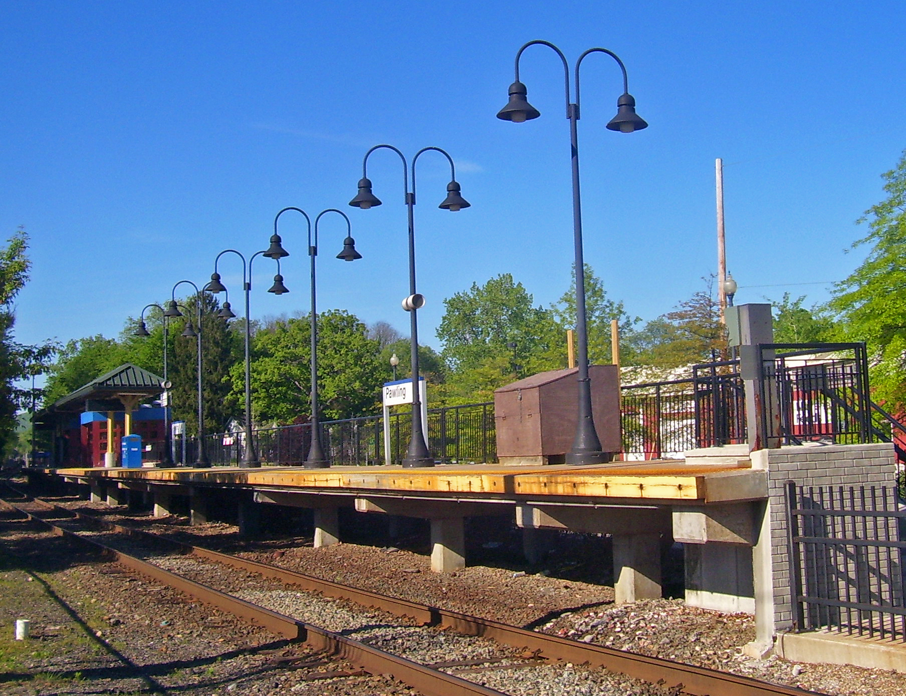
image_size=300px
image_caption=The Pawling Metro-North station
address=1 Memorial Avenue
Pawling, NY
line=
other=Dutchess LOOP (Routes 8 & 11, Flag Stop from Main Street)
platform=1
tracks=1
parking=
bicycle=
passengers=
pass_year=2006
pass_percent=0
opened=
rebuilt=
ADA=yes
code=
owned=
zone=8
services=The Pawling Metro-North Railroad station serves the residents of Pawling, New York via the Harlem Line. Trains leave for New York City every two hours, and about every 30 minutes during rush hour. It is 63.7 miles (104 km) from Grand Central Terminal and travel time to Grand Central is approximately one hour, 48 minutes.
The station consists of a single platform on the east side of the single track line. This station is located in the Zone 8 Metro-North fare zone.
It is the southernmost station in Dutchess County on the Harlem Line.
External links
* [http://as0.mta.info/mnr/stations/station_detail.cfm?key=166 Metro-North Railroad - Pawling]
Wikimedia Foundation.
2010.
Look at other dictionaries:
Appalachian Trail (Metro-North station) — Infobox Station name=Appalachian Trail style=MNRR Harlem logo= logo size= image size=300px image caption=Hikers awaiting southbound train address=Route 22, 1/4 mile north of Hurd Corners. line= other= platform= tracks= parking= bicycle=… … Wikipedia
Pawling, New York — may refer to: * Pawling (town), New York * Pawling (village), New York * Pawling (Metro North station) … Wikipedia
North East, New York — Town Downtown Millerton, NY … Wikipedia
New York State Route 22 — NY 22 redirects here. NY 22 may also refer to New York s 22nd congressional district. NYS Route 22 … Wikipedia
Dutchess County LOOP — #420 arrives in Beacon on former LOOP 3, now route B. Parent Dutchess County Division of Mass Transit Headquarters 14 Commerce Drive Poughkeepsie, NY 12603 … Wikipedia
U.S. Route 6 in New York — This article is about the section of U.S. Route 6 in New York. For the entire length of the highway, see U.S. Route 6. U.S. Route 6 Map of New York with US 6 … Wikipedia
Appalachian Trail — This article is about the trail. For the conservation group, see Appalachian Trail Conservancy. For the train station, see Appalachian Trail (Metro North station). Appalachian Trail Map of Appalachian Trail Length … Wikipedia
Harlem Line — Infobox rail line name = Harlem Line image width = 300px caption = Train #645 leaves the White Plains station, northbound to Southeast. type = Commuter rail line system = Metro North status = locale = New York City, Westchester, Putnam, and… … Wikipedia
Dutchess County, New York — Dutchess redirects here. For other uses, see Dutchess (disambiguation). Dutchess County, New York Location in the state of New York … Wikipedia
New York State Route 55 — This article is about the current alignment of NY 55. For the former alignment of NY 55 in Orange County, see New York State Route 55 (1920s–1930). NYS Route 55 Map of southeastern New York … Wikipedia