- National Register of Historic Places listings in Marin County, California
-
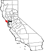
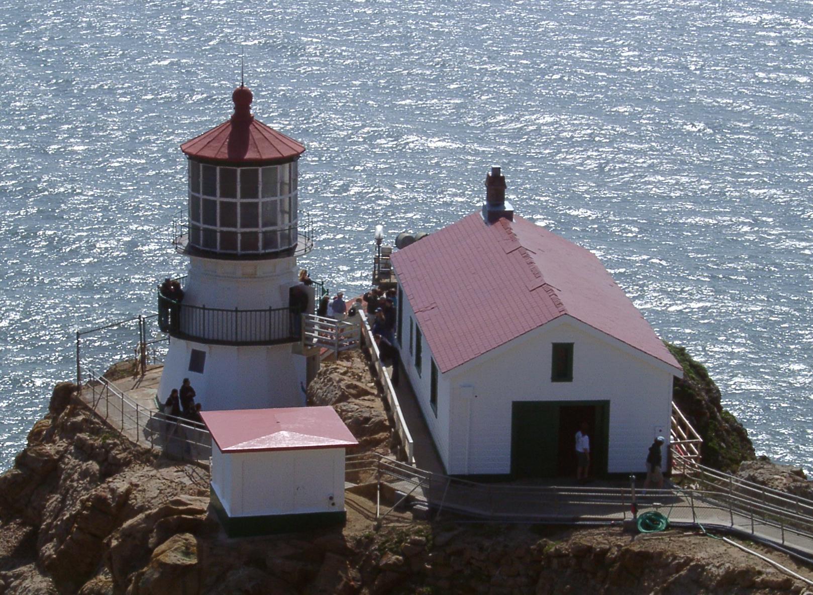
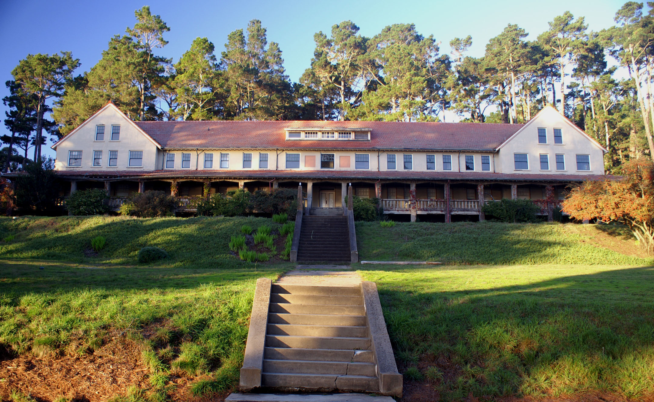
This list includes properties and districts listed on the National Register of Historic Places in Marin County, California. Click the "Map of all coordinates" link to the right to view a Google map of all properties and districts with latitude and longitude coordinates in the table below.[1]
-
- This National Park Service list is complete through NPS recent listings posted November 10, 2011.[2]
See also
- National Register of Historic Places listings in California
- List of National Historic Landmarks in California
References
- ^ The latitude and longitude information provided in this table was derived originally from the National Register Information System, which has been found to be fairly accurate for about 99% of listings. For about 1% of NRIS original coordinates, experience has shown that one or both coordinates are typos or otherwise extremely far off; some corrections may have been made. A more subtle problem causes many locations to be off by up to 150 yards, depending on location in the country: most NRIS coordinates were derived from tracing out latitude and longitudes off of USGS topographical quadrant maps created under North American Datum of 1927, which differs from the current, highly accurate GPS system used by Google maps. Chicago is about right, but NRIS longitudes in Washington are higher by about 4.5 seconds, and are lower by about 2.0 seconds in Maine. Latitudes differ by about 1.0 second in Florida. Some locations in this table may have been corrected to current GPS standards.
- ^ "National Register of Historic Places: Weekly List Actions". National Park Service, United States Department of the Interior. Retrieved on November 10, 2011.
- ^ Numbers represent an ordering by significant words. Various colorings, defined here, differentiate National Historic Landmark sites and National Register of Historic Places Districts from other NRHP buildings, structures, sites or objects.
- ^ "National Register Information System". National Register of Historic Places. National Park Service. 2008-04-24. http://nrhp.focus.nps.gov/natreg/docs/All_Data.html.
- ^ "History of Sausalito Woman's Club". Sausalito Woman's Club. http://www.sausalitowomansclub.org/history.htm. Retrieved May 19, 2010.[dead link]
U.S. National Register of Historic Places Topics Lists by states Alabama • Alaska • Arizona • Arkansas • California • Colorado • Connecticut • Delaware • Florida • Georgia • Hawaii • Idaho • Illinois • Indiana • Iowa • Kansas • Kentucky • Louisiana • Maine • Maryland • Massachusetts • Michigan • Minnesota • Mississippi • Missouri • Montana • Nebraska • Nevada • New Hampshire • New Jersey • New Mexico • New York • North Carolina • North Dakota • Ohio • Oklahoma • Oregon • Pennsylvania • Rhode Island • South Carolina • South Dakota • Tennessee • Texas • Utah • Vermont • Virginia • Washington • West Virginia • Wisconsin • WyomingLists by territories Lists by associated states Other  Category:National Register of Historic Places •
  Portal:National Register of Historic Places
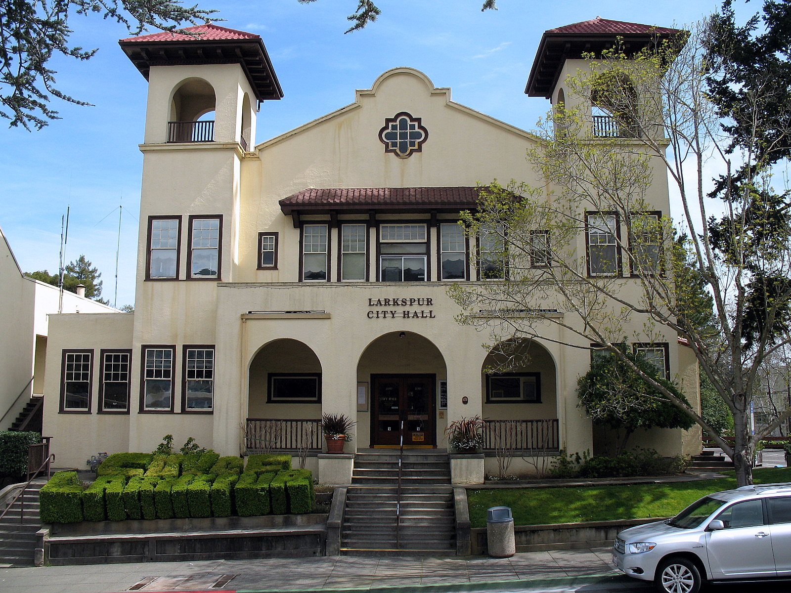
Municipalities and communities of Marin County, California County seat: San Rafael Cities and towns Belvedere | Corte Madera | Fairfax | Larkspur | Mill Valley | Novato | Ross | San Anselmo | San Rafael | Sausalito | Tiburon
CDPs Alto | Black Point-Green Point | Bolinas | Dillon Beach | Inverness | Kentfield | Lagunitas-Forest Knolls | Lucas Valley-Marinwood | Marin City | Muir Beach | Nicasio | Point Reyes Station | San Geronimo | Santa Venetia | Sleepy Hollow | Stinson Beach | Strawberry | Tamalpais-Homestead Valley | Tomales | Woodacre
Unincorporated
communitiesAlmonte | Bel Marin Keys | Belvedere Island | Bivalve | Black Point | Blakes Landing | Burdell | California Park | Cerro | Chapman | Cypress Grove | Dewitt | Dogtown | El Campo | Fallon | Five Brooks | Forest Knolls | Gallinas | Greenbrae | Hamlet | Harbor Point | Homestead Valley | Ignacio | Inverness Park | Jewell | Kent Woodlands | Lagunitas | Lairds Landing | Las Gallinas | Los Ranchitos | Lucas Valley | Manzanita | Marconi | Marinwood | Marshall | McDonald | McNears Beach | Meadowsweet | Millerton | Murray Park | Nicks Cove | Ocean Roar | Old Town | Olema | Paradise Cay | Reed | Reynolds | Sacramento Landing | Saint Vincent | San Antonio | San Quentin | Seahaven | Shafter | Strawberry Manor | Tamalpais Valley | Tamalpais Valley Junction | Tocaloma | Vincent Landing | Waldo
Ghost towns Categories:- History of Marin County, California
- Marin County, California
- National Register of Historic Places in the San Francisco Bay Area
- National Register of Historic Places in California by county
- Lists of National Register of Historic Places in California
-


Wikimedia Foundation. 2010.