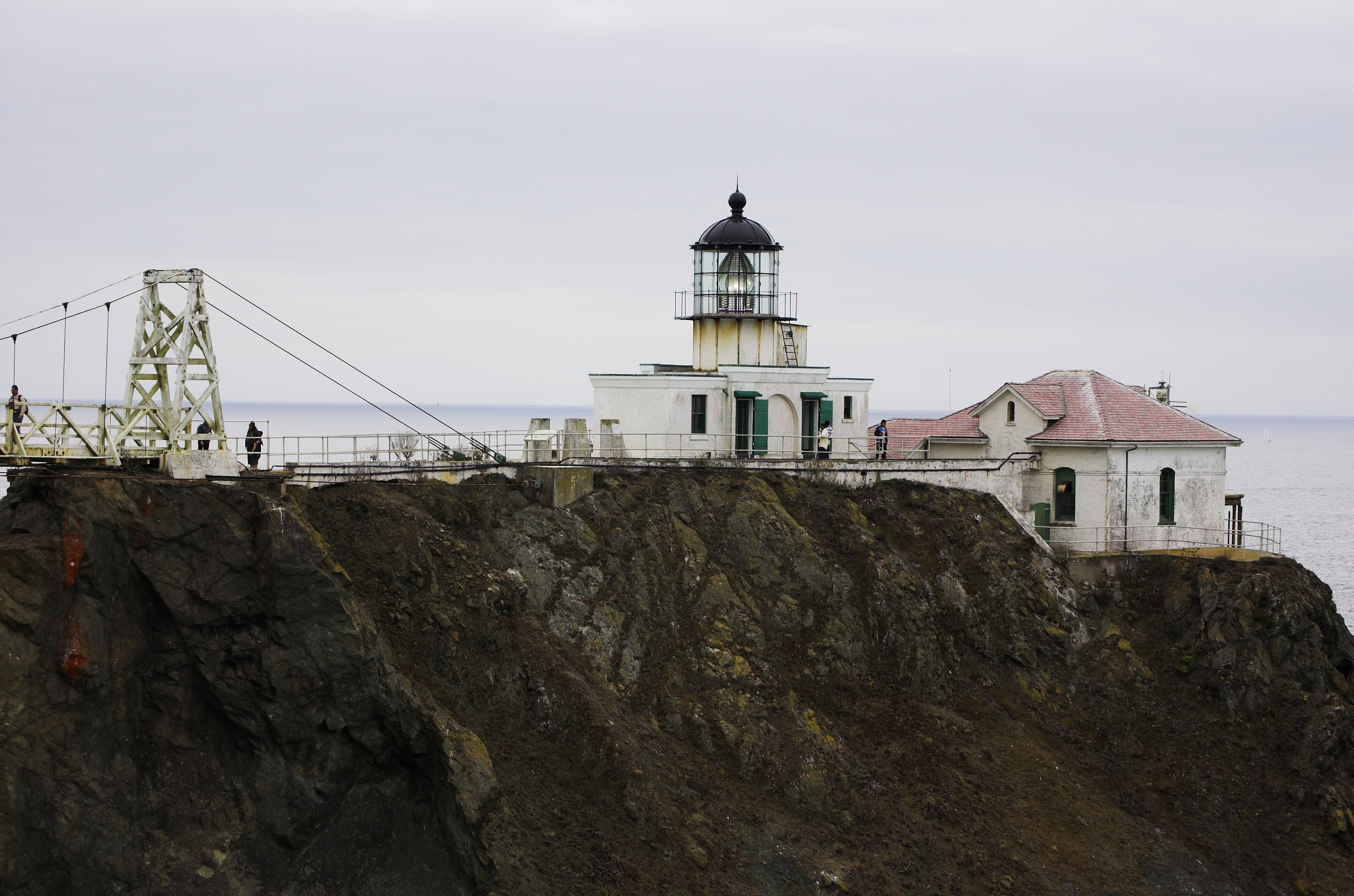
- Point Bonita Light
Infobox Lighthouse

caption =
location =San Francisco Bay ,California
coordinates = coord|37|48|56|N|122|31|46|W|region:US_type:landmark
yearbuilt = 1855
yearlit = 1877
automated = 1980
yeardeactivated =
foundation =Masonry
construction =Brick andCement
shape = Polygonal on buildong
marking = white
height = convert|33|ft|m|abbr=on, convert|124|ft|m|abbr=on above sea level
currentlens = Second orderFresnel lens
lens = Second orderFresnel lens
range = 18 nm
characteristic = Occulting white once every 4s. Emergency light of reduced intensity when main light is extinguished. HORN: 2 blasts ev 30s (2s bl-2s si-2s bl-24s si).
admiralty = G4052
ARLHS = USA-618
USCG = 6-0370Point Bonita Light is a
lighthouse located at Point Bonita at theSan Francisco Bay entrance nearSausalito, California . Point Bonita was the last manned lighthouse on the California coast.History
The original Point Bonita Lighthouse, a convert|56|ft|m|sing=on brick tower, was located too high. Unlike the East Coast of the United States, the West Coast has dense high
fog , which leaves lower elevations clear. The original light was convert|306|ft|m above sea level so the second orderFresnel lens was often cloaked infog and could not be seen from the sea. In 1877, the lighthouse was moved to its current location at convert|124|ft|m above sea level. TheUnited States Coast Guard currently maintains the light and fog signal.Historical Information from
USCG web site:
*Point Bonita Light Station had the first fog signal on the West Coast. It was an Army surplus 24-pounder siege gun.
*This light is the only one in America that can be reached only by crossing a suspension bridge which is a replica of the Golden Gate Bridge.
*In 1877 the lighthouse was moved to its current location because the original location was often too obscured by fog for the light to be visible from the bay. This location required the builders to overcome many challenges, including the need for a hand carved, convert|118|ft|m|sing=on long hard rock tunnel. [cite web
url=http://www.uscg.mil/history/weblighthouses/LHCA.asp
title = California Light Stations (Point Bonita Light). Historical information and photographs
publisher =United States Coast Guard
accessdate= 2008-08-19]References
External links
* [http://www.lighthousefriends.com/light.asp?ID=76 Lighthousefriends.com entry (photos and history)]
Wikimedia Foundation. 2010.
