- Municipalities of St. Louis County, Missouri
-
St. Louis County has 91 municipalities and 9 unincorporated census-designated places:
Contents
List by population and area
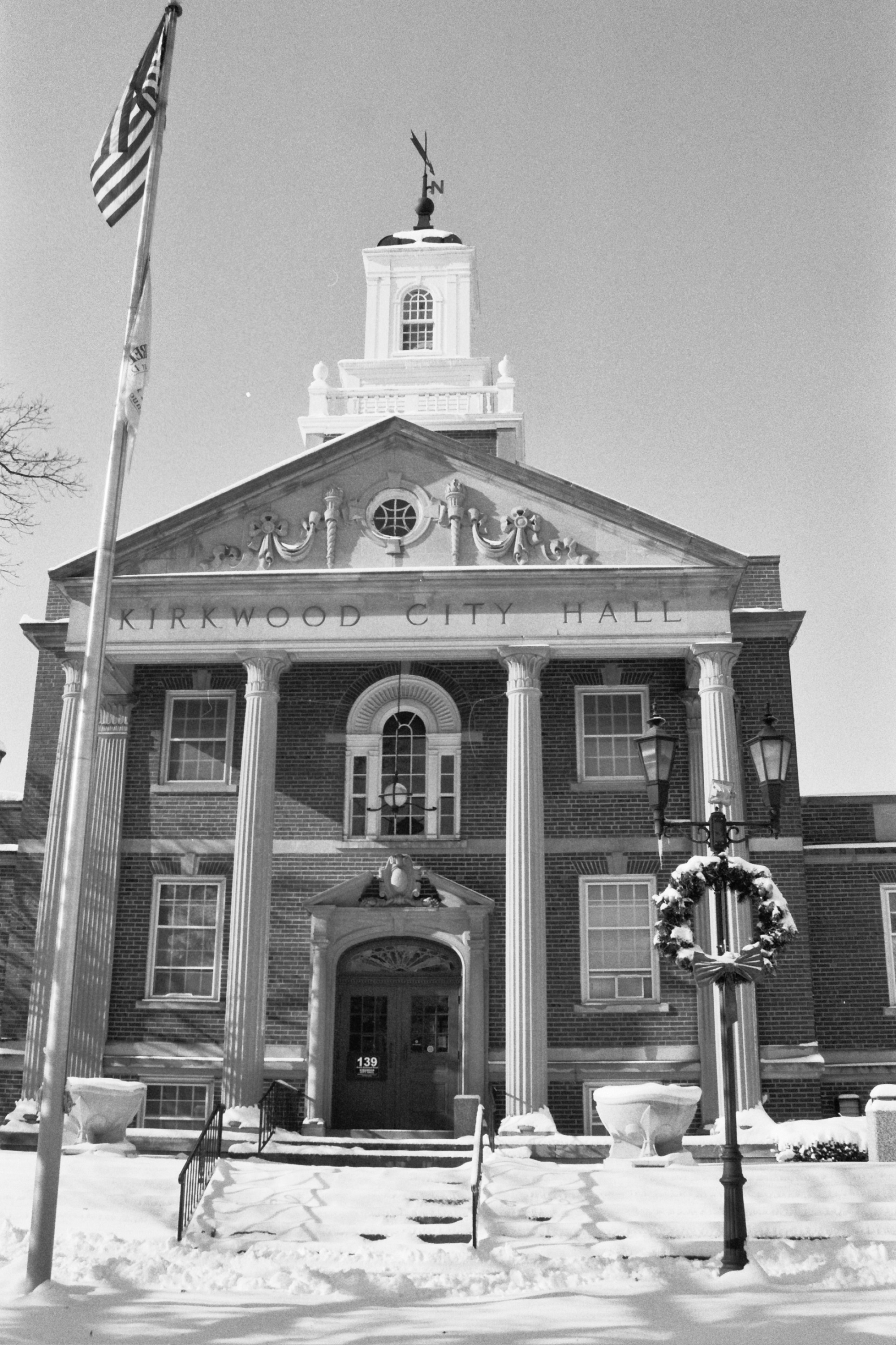
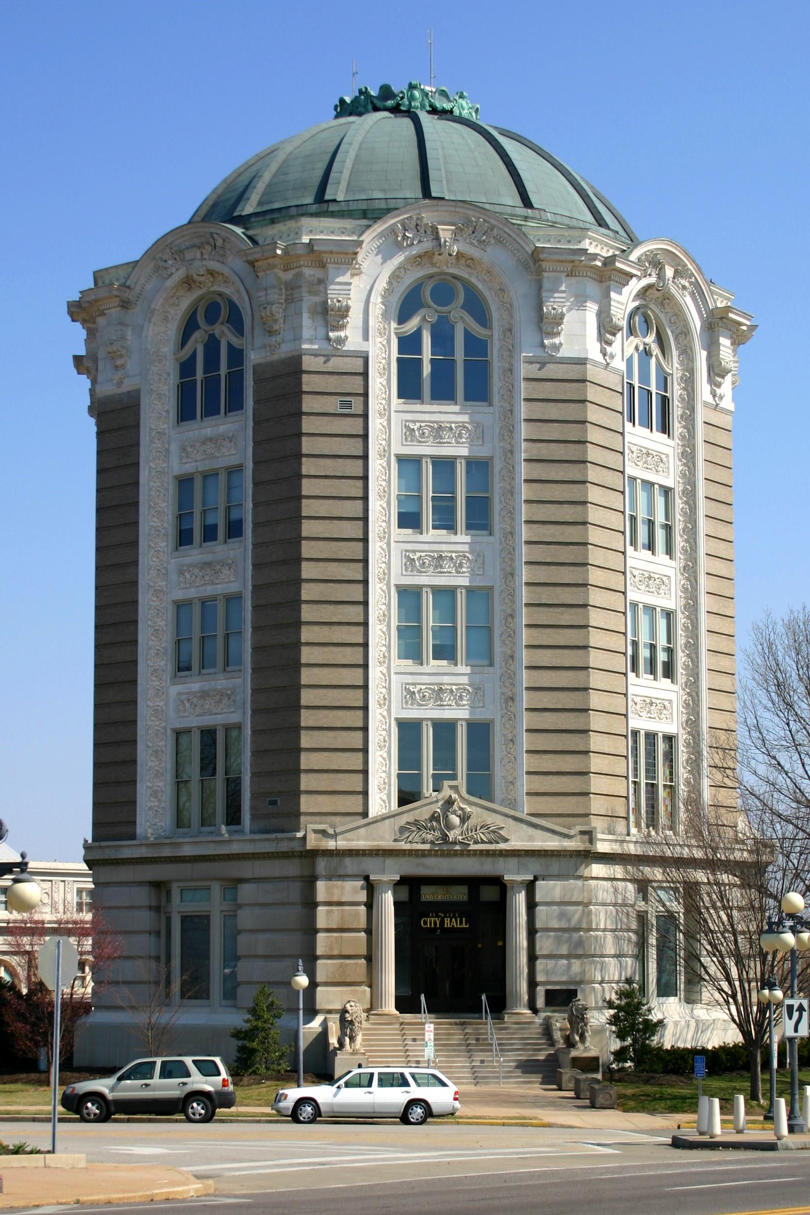
Municipality Population Total Area (mi2) Population Density/sq mi Affton 20,535 4.58 4,480.1 Ballwin 31,283 8.95 3,494.6 Bella Villa 687 0.1 5,468.3 Bellefontaine Neighbors 11,271 4.4 2,573.2 Bellerive 254 0.4 713.0 Bel-Nor 1,598 0.6 2,555.5 Bel-Ridge 3,082 0.8 3,799.0 Berkeley 10,063 4.9 2,040.6 Beverly Hills 603 0.1 6,882.0 Black Jack 6,792 2.7 2,553.3 Breckenridge Hills 4,817 0.8 5,890.1 Brentwood 7,693 1.9 3,948.4 Bridgeton 15,550 15.2 1,067.1 Calverton Park 1,322 0.4 3,154.5 Castle Point 4,559 0.7 6,653.9 Champ 12 0.8 14.4 Charlack 1,431 0.3 5,463.1 Chesterfield 46,635 32.7 1,485.4 Clarkson Valley 2,675 2.7 995.1 Clayton 16,061 2.5 5,164.4 Concord 16,689 5.5 3,027.0 Cool Valley 1,081 0.5 2,244.1 Country Club Hills 1,381 0.2 7,761.7 Country Life Acres 81 0.1 725.5 Crestwood 11,863 3.6 3,296.2 Creve Coeur 16,500 10.1 1,628.9 Crystal Lake Park 457 0.1 4,787.5 Dellwood 5,255 1.0 5,108.2 Des Peres 8,592 4.4 1,954.3 Edmundson 840 0.3 3,018.0 Ellisville 9,104 4.3 2,094.1 Eureka 7,676 10.1 763.7 Fenton 4,360 6.4 710.7 Ferguson 22,406 6.19 3,620.6 Flordell Hills 931 0.1 8,111.7 Florissant 51,812 11.7 4,442.4 Frontenac 3,483 2.9 1,221.3 Glasgow Village 5,234 0.9 5,649.3 Glencoe Glendale 5,767 1.3 4,474.6 Glen Echo Park 166 -0.1 5,416.5 Grantwood Village 883 0.8 1,054.1 Greendale 722 0.2 3,480.3 Green Park 2,666 1.4 1,909.0 Grover Hanley Hills Hazelwood 26,206 15.88 1,649.9 Hillsdale 1,477 0.3 4,226.3 Huntleigh 323 1.0 324.4 Jennings 15,469 3.7 4,193.3 Kinloch 449 0.7 616.5 Kirkwood 27,324 9.23 2,961.3 Ladue 8,645 8.6 414.0 Lakeshire 1,375 0.2 6,436.4 Lemay 17,215 4.5 3,959.0 Mackenzie 137 -0.1 5,316.5 Manchester 19,161 5.0 3,834.6 Maplewood 9,228 1.5 5,963.8 Marlborough 2,235 0.2 9,829.4 Maryland Heights 25,756 21.39 1,204.4 Mehlville 28,822 7.36 3,913.6 Moline Acres 2,662 0.6 4,720.6 Normandy 5,153 1.8 2,826.3 Northwoods 4,643 0.7 6,545.7 Norwood Court 1,061 0.1 7,783.2 Oakland 1,540 0.6 2,545.7 Oakville 35,309 16.08 2,196.4 Olivette 7,438 2.8 2,667.5 Overland 16,838 4.4 3,842.8 Pacific 5,482 5.4 1,011.0 Pagedale 3,616 1.2 3,003.8 Pasadena Hills 1,147 0.2 5,044.0 Pasadena Park 489 0.1 5,506.5 Pine Lawn 4,204 0.6 6,942.5 Richmond Heights 9,602 2.3 4,191.5 Riverview 3,146 0.8 3,932.5 Rock Hill 4,609 1.1 4,190.0 Sappington 7,287 2.6 2,850.5 Shrewsbury 6,644 1.4 4,655.4 Spanish Lake 21,337 7.5 2,900.4 St. Ann 13,607 3.1 4,352.8 St. George 1,288 0.2 6,949.0 St. John 6,871 1.4 4,825.8 Sunset Hills 8,267 9.0 915.3 Sycamore Hills 722 0.1 5,249.0 Town and Country 10,894 11.9 916.8 Twin Oaks 362 0.3 1,403.8 University City 37,428 5.88 6,363.1 Uplands Park 460 0.1 6,904.3 Valley Park 6,518 3.2 2,156.2 Velda City 1,616 0.2 9,872.7 Velda Village Hills 1,090 0.1 9,235.6 Vinita Park 1,924 0.7 2,628.7 Vinita Terrace 292 0.1 4,722.9 Warson Woods 1,983 0.6 3,352.6 Webster Groves 23,230 5.90 3,937.5 Wellston 2,460 0.9 2,732.6 Westwood 284 0.6 453.7 Wilbur Park 475 0.1 7,882.2 Wildwood 32,884 66.03 498.0 Winchester 1,651 0.2 6,723.0 Woodson Terrace 4,189 0.8 5,346.2 General information
References
External links
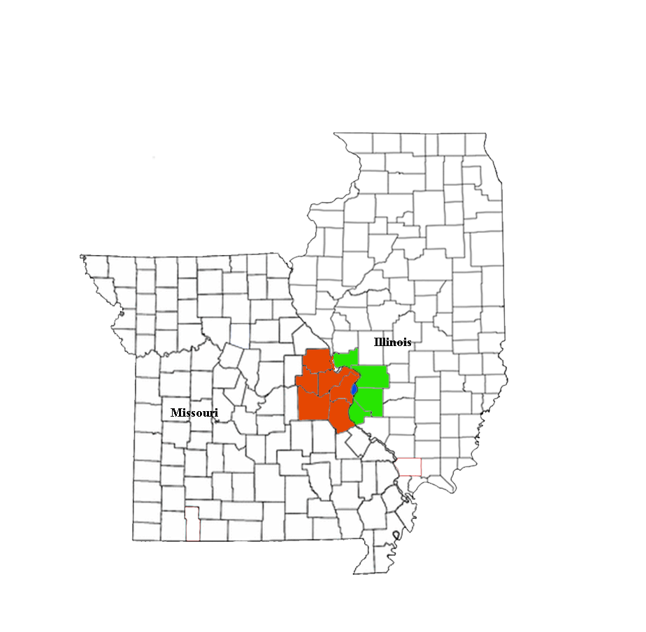
Greater St. Louis Illinois · Missouri · United States of America Topics 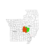
Central city Largest cities
(over 20,000 in 2000)Affton CDP · Alton · Ballwin · Belleville · Chesterfield · Collinsville · East St. Louis · Edwardsville · Ferguson · Florissant · Granite City · Hazelwood · Kirkwood · Maryland Heights · Mehlville CDP · Oakville CDP · O'Fallon, Illinois · O'Fallon, Missouri · Saint Charles · St. Peters · Spanish Lake CDP · University City · Webster Groves · WildwoodLargest towns
and villages
(over 10,000 in 2000)Arnold · Bellefontaine Neighbors · Berkeley · Bridgeton · Cahokia · Clayton · Concord CDP · Crestwood · Creve Coeur · Fairview Heights · Farmington · Festus · Glen Carbon · Godfrey · Jennings · Lake St. Louis · Lemay CDP · Manchester · Overland · St. Ann · Swansea · Town and Country · Washington · Wentzville · Wood RiverMissouri Counties Franklin · Jefferson · Lincoln · St. Charles · Saint Francois · St. Louis City · St. Louis County · Warren · WashingtonIllinois Counties Subregions  State of Missouri
Jefferson City (capital) Topics Government · Delegations · Geography · Transportation · History · People · Visitor Attractions
Society Regions Bootheel · Crowley's Ridge · Dissected Till Plains · Four State Area · Henry Shaw Ozark Corridor · Honey Lands · Lead Belt · Lincoln Hills · Little Dixie · Loess Hills · Mid-Missouri · Mississippi Embayment · Missouri Rhineland · Northern Plains · Osage Plains · Ozark Plateau · Platte Purchase · Pony Express · St. Francois Mountains · Westplex
Metro areas Columbia · Jefferson City · Joplin · Kansas City · Springfield · St. Joseph · St. Louis
Largest cities Kansas City · St. Louis · Springfield · Independence · Columbia · Lee's Summit · O'Fallon · St. Joseph · St. Charles · St. Peters · Blue Springs · Florissant · Joplin · Chesterfield · Jefferson City · Cape Girardeau · Wildwood · University City · Ballwin · Raytown · Liberty · Wentzville · Kirkwood · Maryland Heights · Hazelwood
Counties and
independent citiesAdair · Andrew · Atchison · Audrain · Barry · Barton · Bates · Benton · Bollinger · Boone · Buchanan · Butler · Caldwell · Callaway · Camden · Cape Girardeau · Carroll · Carter · Cass · Cedar · Chariton · Christian · Clark · Clay · Clinton · Cole · Cooper · Crawford · Dade · Dallas · Daviess · DeKalb · Dent · Douglas · Dunklin · Franklin · Gasconade · Gentry · Greene · Grundy · Harrison · Henry · Hickory · Holt · Howard · Howell · Iron · Jackson · Jasper · Jefferson · Johnson · Knox · Laclede · Lafayette · Lawrence · Lewis · Lincoln · Linn · Livingston · Macon · Madison · Maries · Marion · McDonald · Mercer · Miller · Mississippi · Moniteau · Monroe · Montgomery · Morgan · New Madrid · Newton · Nodaway · Oregon · Osage · Ozark · Pemiscot · Perry · Pettis · Phelps · Pike · Platte · Polk · Pulaski · Putnam · Ralls · Randolph · Ray · Reynolds · Ripley · St. Charles · St. Clair · St. Francois · St. Louis (City) · St. Louis (County) · Ste. Genevieve · Saline · Schuyler · Scotland · Scott · Shannon · Shelby · Stoddard · Stone · Sullivan · Taney · Texas · Vernon · Warren · Washington · Wayne · Webster · Worth · Wright
Categories:- Populated places in St. Louis County, Missouri
- Metropolitan areas of Missouri
- Metropolitan areas of the United States
- Regions of Missouri
- Greater St. Louis

Wikimedia Foundation. 2010.