- Normandy, Missouri
-
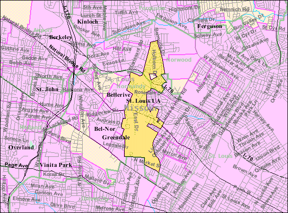
Normandy, Missouri — City — Location of Normandy, Missouri U.S. Census Map
Coordinates: 38°42′56″N 90°18′1″W / 38.71556°N 90.30028°WCoordinates: 38°42′56″N 90°18′1″W / 38.71556°N 90.30028°W Country United States State Missouri County St. Louis Area – Total 1.8 sq mi (4.7 km2) – Land 1.8 sq mi (4.7 km2) – Water 0.0 sq mi (0.0 km2) Elevation 604 ft (184 m) Population (2010) – Total 5,008 – Density 2,759.7/sq mi (1,065.5/km2) Time zone Central (CST) (UTC-6) – Summer (DST) CDT (UTC-5) FIPS code 29-52796[1] GNIS feature ID 0756450[2] Normandy is a city in St. Louis County, Missouri, United States. The population was 5,008 at the 2010 census.[3]
Contents
History
The town is on land once owned by Charles Lucas. Lucas obtained property from the federal government with land grants, and he purchased the land from victims of the New Madrid Earthquake of 1811. He named it for the French coastal region of Normandy from which his father John Baptiste Charles Lucas came. The site of his home is now on the property of Incarnate Word Academy.[4]
Lucas was to fight two duels on Bloody Island with Thomas Hart Benton and died in the 1817 duel.[4]
Upon his death, his land was left to his sister Anne and brother James. Anne married Theodore Hunt, who died in 1832. In 1836 she married Theodore's cousin, the explorer Wilson Price Hunt. The Price house at 7836 Natural Bridge burned in 1908 and was rebuilt in 1909. It was used for several years as the convent of the Sisters of the Cenacle before being taken over by the Normandy School District.[4]
Normandy incorporated in May 1945.[4]
In 1960, the Normandy School District approved a bond issue to buy the Bellerive Country Club to form a junior college. In 1963 the Normandy Residence Center became the University of Missouri–St. Louis; the university is partially within the city of Normandy.[5][6]
In May 1977 Normandy annexed Berdell Hills.[4]
Geography
Normandy is located at 38°42′56″N 90°18′1″W / 38.71556°N 90.30028°W (38.715551, -90.300284)[7].
According to the United States Census Bureau, the city has a total area of 1.8 square miles (4.7 km2), all of it land.
Fire District
Normandy is currently engaged in a dispute between the Normandy Fire Protection Distinct Board (a separate political entity) and concerned citizens over allegations that the fire district board unnecessarily and excessively spent taxpayer money on items not being used for the betterment of the protection of the community.
Demographics
Historical populations Year Pop. ±% 2000 5,153 — 2010 5,008 −2.8% As of the census[1] of 2000, there were 5,153 people, 2,166 households, and 1,163 families residing in the city. The population density was 2,826.3 people per square mile (1,093.2/km²). There were 2,316 housing units at an average density of 1,270.3 per square mile (491.3/km²). The racial makeup of the city was 26.82% White, 66.68% African American, 0.25% Native American, 3.18% Asian, 0.06% Pacific Islander, 0.47% from other races, and 2.54% from two or more races. Hispanic or Latino of any race were 1.28% of the population.
There were 2,166 households out of which 30.4% had children under the age of 18 living with them, 23.9% were married couples living together, 24.7% had a female householder with no husband present, and 46.3% were non-families. 34.4% of all households were made up of individuals and 5.5% had someone living alone who was 65 years of age or older. The average household size was 2.32 and the average family size was 3.02.
In the city the population was spread out with 26.0% under the age of 18, 18.9% from 18 to 24, 29.3% from 25 to 44, 17.6% from 45 to 64, and 8.2% who were 65 years of age or older. The median age was 28 years. For every 100 females there were 82.3 males. For every 100 females age 18 and over, there were 74.1 males.
The median income for a household in the city was $25,802, and the median income for a family was $31,628. Males had a median income of $29,333 versus $25,634 for females. The per capita income for the city was $14,399. About 17.3% of families and 24.1% of the population were below the poverty line, including 24.1% of those under age 18 and 18.6% of those age 65 or over.
Education
The St. Louis County Library operates the Natural Bridge Branch in Normandy.[5][8] The area is served by Normandy High School.
References
- ^ a b "American FactFinder". United States Census Bureau. http://factfinder.census.gov. Retrieved 2008-01-31.
- ^ "US Board on Geographic Names". United States Geological Survey. 2007-10-25. http://geonames.usgs.gov. Retrieved 2008-01-31.
- ^ "Race, Hispanic or Latino, Age, and Housing Occupancy: 2010 Census Redistricting Data (Public Law 94-171) Summary File (QT-PL), Normandy city, Missouri". U.S. Census Bureau, American FactFinder 2. http://factfinder2.census.gov. Retrieved October 24, 2011.
- ^ a b c d e A Brief History of Normandy- Retrieved 8/29/2010
- ^ a b "Normandy city, Missouri." U.S. Census Bureau. Retrieved on June 13, 2009.
- ^ "Campus Map." University of Missouri–St. Louis. Retrieved on June 13, 2009.
- ^ "US Gazetteer files: 2010, 2000, and 1990". United States Census Bureau. 2011-02-12. http://www.census.gov/geo/www/gazetteer/gazette.html. Retrieved 2011-04-23.
- ^ "[1]"
Categories:- Cities in St. Louis County, Missouri
- Populated places in Missouri with African American majority populations


Wikimedia Foundation. 2010.