- Moffat, Colorado
-
Town of Moffat, Colorado — Town — Mount Adams (13,941 ft.), viewed from 3 miles north of Moffat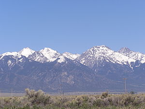 Location in Saguache County and the state of Colorado
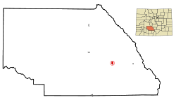
Coordinates: 37°59′56″N 105°54′22″W / 37.99889°N 105.90611°WCoordinates: 37°59′56″N 105°54′22″W / 37.99889°N 105.90611°W Country  United States
State  Colorado
County[1] Saguache Incorporated (town) April 20, 1911[2] Government – Type Statutory Town[1] Area – Total 1.4 sq mi (3.6 km2) – Land 1.4 sq mi (3.6 km2) – Water 0 sq mi (0 km2) Elevation[3] 7,566 ft (2,306 m) Population (2000) – Total 114 – Density 81.4/sq mi (31.7/km2) Time zone Mountain (MST) (UTC-7) – Summer (DST) MDT (UTC-6) ZIP code[4] 81143 Area code(s) 719 FIPS code 08-51250 GNIS feature ID 0203585 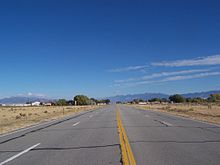 Highway 17 looking north toward Moffat
Moffat is a Statutory Town in Saguache County, Colorado, United States. The population was 114 at the 2000 census.
Contents
Geography
Moffat is located at 37°59′56″N 105°54′22″W / 37.99889°N 105.90611°W (37.998855, -105.905973)[5].
According to the United States Census Bureau, the town has a total area of 1.4 square miles (3.6 km2), all of it land.
History
Moffat was established in 1890 by the San Luis Town and Improvement Company and initially attracted many settlers. It was a major cattle-shipping point on the narrow gauge Denver and Rio Grande Western Railroad.[6]
Demographics
As of the census[3] of 2000, there were 114 people, 54 households, and 30 families residing in the town. The population density was 82.3 people per square mile (31.9/km²). There were 66 housing units at an average density of 47.7 per square mile (18.5/km²). The racial makeup of African American, 0.88% Native American, 0.88% from other races, and 8.77% from two or more races. Hispanic or Latino of any race were 14.91% of the population.
There were 54 households out of which 22.2% had children under the age of 18 living with them, 44.4% were married couples living together, 9.3% had a female householder with no husband present, and 44.4% were non-families. 33.3% of all households were made up of individuals and 11.1% had someone living alone who was 65 years of age or older. The average household size was 2.11 and the average family size was 2.70.
In the town the population was spread out with 21.1% under the age of 18, 6.1% from 18 to 24, 22.8% from 25 to 44, 34.2% from 45 to 64, and 15.8% who were 65 years of age or older. The median age was 45 years. For every 100 females there were 107.3 males. For every 100 females age 18 and over, there were 100.0 males.
The median income for a household in the town was $28,906, and the median income for a family was $28,333. Males had a median income of $14,750 versus $22,083 for females. The per capita income for the town was $14,388. There were 20.0% of families and 25.2% of the population living below the poverty line, including 41.4% of under eighteens and 25.0% of those over 64.
See also
References
- ^ a b "Active Colorado Municipalities". State of Colorado, Department of Local Affairs. http://www.dola.state.co.us/dlg/local_governments/municipalities.html. Retrieved 2007-09-01.
- ^ "Colorado Municipal Incorporations". State of Colorado, Department of Personnel & Administration, Colorado State Archives. 2004-12-01. http://www.colorado.gov/dpa/doit/archives/muninc.html. Retrieved 2007-09-02.
- ^ a b "US Board on Geographic Names". United States Geological Survey. 2007-10-25. http://geonames.usgs.gov. Retrieved 2008-01-31.
- ^ "ZIP Code Lookup" (JavaScript/HTML). United States Postal Service. http://zip4.usps.com/zip4/citytown.jsp. Retrieved November 23, 2007.
- ^ "US Gazetteer files: 2010, 2000, and 1990". United States Census Bureau. 2011-02-12. http://www.census.gov/geo/www/gazetteer/gazette.html. Retrieved 2011-04-23.
- ^ Pages 68 to 73 in Postmarks and Places by George Harlan, Golden Bell Press (Copyright 1976), trade paperback, 220 pages
External links
- Website Moffat, Colorado
- Moffat page on Sangres.Com
- Town of Moffat contacts
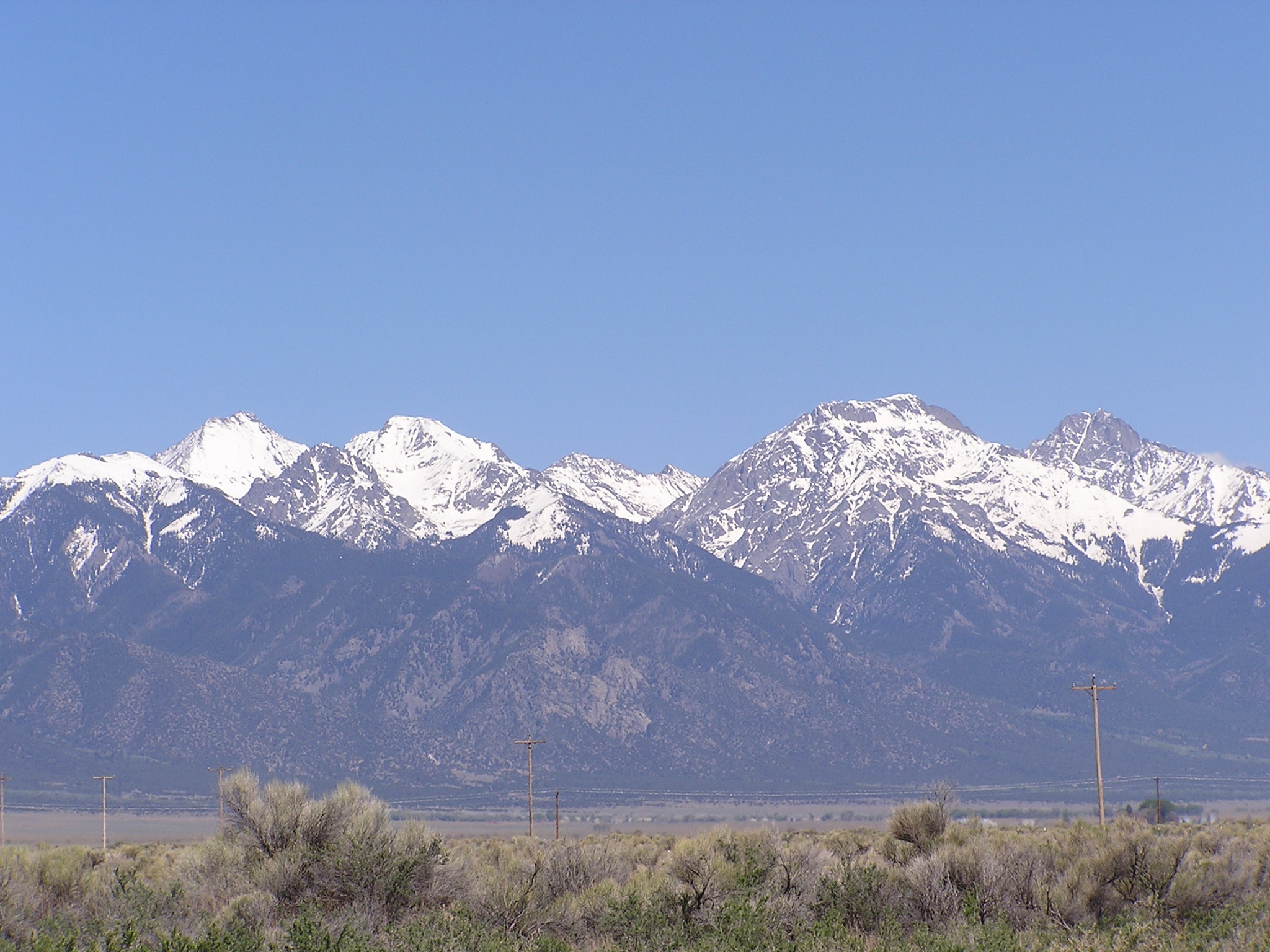
- Images taken from 5.1 miles (8.2 km) W of Moffat, Saguache, CO, USA
Municipalities and communities of Saguache County, Colorado Towns 
Unincorporated
communitiesFootnotes ‡This populated place also has portions in an adjacent county or counties
Categories:- Populated places in Saguache County, Colorado
- Towns in Colorado


Wikimedia Foundation. 2010.