- Delaware Route 141
-
Delaware Route 141
Route information Maintained by DelDOT Length: 11.34 mi[1] (18.25 km) Major junctions South end: 
 DE 9 / DE 273 in New Castle
 US 13 / US 40 at New Castle County Airport

 I-95 / I-295 / Del. Tpk. near Wilmington
 US 202 near Wilmington
 DE 4 in Newport

 DE 2 / DE 41 in Prices Corner
 DE 48 near Prices Corner
 DE 52 in Greenville
 DE 100 in Greenville
North end:  US 202 / DE 261 near Fairfax
Highway system ←  US 122
US 202 →Delaware Route 141 is a bypass around the western suburbs of Wilmington, Delaware. Its northern terminus is an interchange with U.S. Route 202 and Delaware Route 261 in Fairfax, and its southern terminus is at Delaware Route 9 and Delaware Route 273 in New Castle. The route features Delaware's most complex interchange with I-95, I-295, and US 202 along the route between New Castle and Newport. Delaware Route 141 is a limited-access highway between that interchange and Delaware Route 2 in Prices Corner. The rest of Delaware Route 141 is mostly a surface road with a few grade-separated intersections located at U.S. Route 13 and U.S. Route 40 near the New Castle Airport, Delaware Route 52 near Greenville, and Rockland Road near Fairfax.
Contents
Route description
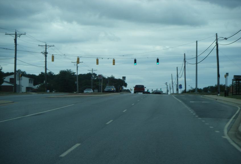
Basin Road
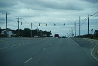 Southbound DE 141 on Basin Road near William Penn High School.
Delaware Route 141 begins at an intersection with Delaware Routes 9 and 273 outside the historic town of New Castle. It heads north from there on Basin Road, a four-lane, divided highway passing through suburban neighborhoods. Delaware Route 141 features a cloverleaf interchange with U.S. Routes 13 and 40 near the New Castle Airport. This interchange also marks the southern terminus of U.S. Route 202 which heads north concurrent with Delaware Route 141. The route continues north along the eastern edge of New Castle Airport and intersects with Delaware Route 37 (Commons Boulevard) at the end of the airport property.
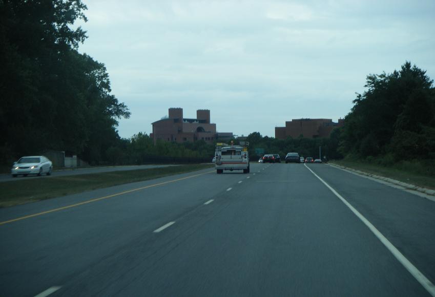
Newport Freeway
 Southbound DE 141 freeway in Newport, approaching the exit for S. James Street/Old Airport Road.
Past the intersection with Delaware Route 37, Delaware Route 141 turns into a freeway. The carriageways split as Delaware Route 141 enters the complex Newport Interchange. The route first features a connection from southbound DE 141 to northbound Interstate 295, which runs to the Delaware Memorial Bridge. Delaware Route 141 then intersects with Interstate 95. At this interchange, U.S. Route 202 leaves Delaware Route 141 and heads north on I-95 towards Wilmington. Delaware Route 141 continues north and crosses the Christina River and the Amtrak Northeast Corridor. It then passes over the town of Newport, where it interchanges with Delaware Route 4. The freeway then moves into a below surface level alignment between Newport and the interchange with Delaware Route 62. Delaware Route 141 continues north above ground level to Prices Corner, where it intersects Delaware Route 2 and Delaware Route 41.
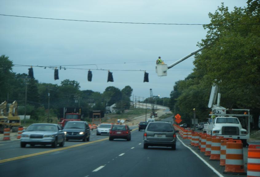
DE 2 to US 202
 Southbound DE 141 approaching Alapocas Drive with the DuPont Experimental Station in the background.
In Prices Corner, Delaware Route 141 changes from a freeway to a surface road named Centre Road. The route continues north through residential neighborhoods before it intersects Delaware Route 34. It then continues north and intersects Delaware Route 48 and Delaware Route 100. Here, Delaware Route 100 turns north on Delaware Route 141 for a brief concurrency. At the intersection with Barley Mill Road, the route becomes a small freeway, taking on the name Barley Mill Road. The freeway passes under a railroad bridge and features a partial cloverleaf interchange with Delaware Route 52 near Greenville. The freeway ends at the intersection with Montchanin Road and Delaware Route 100 splits from Delaware Route 141 at this point, heading north on Montchanin Road.
Delaware Route 141 continues in an eastward direction, crossing high above the Brandywine Creek valley on a two-lane bridge. Past the bridge, the route turns north on Powder Mill Road, which passes the DuPont Experimental Station, a large research facility for DuPont and Nemours Mansion and Gardens. The route then crosses Rockland Road on an overpass. Shortly after the overpass, Delaware Route 141 intersects Children's Drive, which provides access th Rockland Road and the Alfred I. duPont Hospital for Children. Past Children's Drive, Delaware Route 141 continues toward its northern terminus at an interchange with U.S. Route 202 and the southern terminus of Delaware Route 261 near Fairfax. This portion of the road connects many sites important to the DuPont legacy and is the DuPont Historic Corridor.
History
Delaware Route 141 was first designated in 1952. Between New Castle and Prices Corner, the route was concurrent with Delaware Route 41. Planned in 1965 and constructed between 1971 and 1979, the freeway segment through Newport was built to relieve traffic on the surface road alignment.[2] Delaware Route 41 was truncated to its current terminus in Prices Corner following the completion of the DE 141 freeway. Until the early 1990s, plans existed for the stretch of Delaware Route 141 between Delaware Route 2 and U.S. Route 202 to be upgraded to a freeway, however they were canceled due to opposition from local residents.[2]
Recent improvements have been made in order to make Delaware Route 141 an effective bypass to the north and west of Wilmington. In 1998, an overpass over Rockland Road was completed, and a new connector road between the two roads, called Children's Drive, was built. Other improvements have been made too, such as the reconstruction of the Basin Road section that was completed in 2005.
The northernmost part of Delaware Route 141 was realigned in the early 2000s at a cost of $70 million USD.[3] Previously, the route had ended at US 202 at the Murphy Road intersection near AstraZeneca's United States headquarters. However, the Blue Ball Construction Project realigned the route to a new interchange with U.S. Route 202 that also serves as the southern terminus of Delaware Route 261.[2]
The road is currently being reconstructed from a four-lane, undivided road to a four-lane, divided road between Delaware Route 2 and Delaware Route 34.[4]
Major intersections
The entire route is in New Castle County.
Location Mile[1] Exit Destinations Notes New Castle 0 


DE 9 / DE 273 / DE 9 Truck south (Delaware Street, Frenchtown Road)New Castle Airport 1.29 1 US 13 north / US 40 east – Wilmington, Del Mem Br US 13 south / US 40 west – Dover, ElktonNo ramp from southbound DE 141;
Southern terminus of US 2022.31  DE 37 south (Commons Boulevard)
Northern terminus of DE 37 2.65 Southern end of expressway section Newport 2.70 2 I-295 north – Del Mem Br, New JerseySouthbound exit 2.75 3A  I-95 north / I-495 north / US 202 north – Wilmington, Philadelphia
North end of US 202 overlap 2.80 3B I-95 south – Newark, Baltimore2.97 4B S. James Street / Old Airport Road Southbound exit 3.59 4 (4A) DE 4 – Newport, StantonExit 4 northbound,
Exit 4A southboundPrices Corner 4.33 5  DE 62 (Boxwood Road, Newport Gap Pike)
5.38 6A DE 2 east – ElsmereNorthbound exit 5.64 6B DE 2 west / DE 41 north – Newark, Lancaster, PANorthbound exit, Southern terminus of DE 41 5.91 To DE 2 (Kirkwood Highway, Centerville Road)Southbound exit 5.95 Northern end of expressway section 6.53  DE 34 (Faulkland Road)
7.38 DE 48 / DE 100 south (Lancaster Pike)South end of DE 100 overlap Greenville 7.93 Old Barley Mill Road 8.05 Southern end of expressway section 8.52 DE 52 – Greenville, WilmingtonNorthbound exit 8.62 DE 52 north – GreenvilleSouthbound exit 8.70 Northern end of expressway section 8.85 DE 100 north to DE 52 (Montchanin Road)North end of DE 100 overlap Brandywine Creek bridge Wilmington 10.08 New Bridge Road Fairfax 10.92 Powder Mill Road / Children's Drive to Rockland Road 11.34 US 202 (Concord Pike) / DE 261 north (Foulk Road) – Wilmington, West ChesterInterchange 1.000 mi = 1.609 km; 1.000 km = 0.621 mi See also
 U.S. Roads portal
 Delaware portal
References
- ^ a b http://www.deldot.gov/information/pubs_forms/manuals/traffic_counts/2006/pdf/rpt_pgs1_38_rev.pdf DelDOT 2006 Traffic Count and Mileage Report
- ^ a b c Newport Freeway (DE 141) URL accessed 10 September 2008
- ^ Jonathan Starkey (23 April 2011). "AstraZeneca to demolish three buildings". News Journal (Wilmington, Delaware: Gannett): DelawareOnline. http://www.delawareonline.com/article/20110423/BUSINESS/104230343/-1/NLETTER01/AZ-to-demolish-3-buildings. Retrieved 23 April 2011.
- ^ "SR 141, Centre Road, Kirkwood Highway to Faulkland Road". Delaware Department of Transportation. http://www.deldot.gov/information/projects/center_road/index.shtml.
Road transportation infrastructure of the metro Philadelphia area Interstates U.S. Routes Pennsylvania Routes New Jersey Routes Delaware Routes Named roads/streets Benjamin Franklin Parkway · Broad Street · City Avenue · Front Street · Girard Avenue · Market Street · Roosevelt Boulevard · South Street · Chestnut Street · Walnut Street
Pennsylvania Turnpike · New Jersey Turnpike · Delaware Turnpike · Atlantic City Expressway · Schuylkill Expressway · Delaware Expressway · Blue Route · Vine St Expressway · North South Freeway · Lancaster Avenue · Bethlehem Pike · Baltimore Pike · Black Horse PikeBridges Delaware Memorial Bridge · Commodore Barry Bridge · Walt Whitman Bridge · Ben Franklin Bridge · Betsy Ross Bridge · Tacony–Palmyra Bridge · Burlington–Bristol Bridge · Delaware River – Turnpike Toll BridgeCategories:- State highways in Delaware
- Freeways in Delaware
- Transportation in New Castle County, Delaware


Wikimedia Foundation. 2010.