- Pennsylvania Route 113
-
PA Route 113
Route information Maintained by PennDOT Length: 46 mi[1] (74 km) Existed: 1928 – present Major junctions South end: 
 US 30 BUS in Downingtown US 30 near Downingtown
 PA 309 near Souderton
North end:  PA 611 in Tinicum Township
Location Counties: Bucks, Chester, Montgomery Highway system Roads in Pennsylvania
Interstate • US • State • Legislative←  PA 112
PA 114  →
→Pennsylvania Route 113 is a 46-mile (74 km) long state route in eastern Pennsylvania. The southern terminus of the route is at U.S. Route 30 Business in Downingtown. Its northern terminus is at Pennsylvania Route 611 in Tinicum Township. The route is signed as north–south although its exact alignment follows a northeast-southwest routing.
Contents
Route description
Chester County
 Demolition of the Gay Street (PA 113) Bridge in 2008, replaced and reopened in 2009
PA 113 begins as West Uwchlan Avenue at US 30 Business / Lancaster Avenue in Downingtown. Northeast of US 30 BUS, PA 113 is carried over the U.S. Route 30 Bypass, with only partial access to the Bypass. As Uwchlan Ave, PA 113 runs northeast and in Uwchlan Township, PA 113 meets Pennsylvania Route 100 near the village of Lionville. Northeast of PA 100, PA 113 passes over Interstate 76 (the Pennsylvania Turnpike). In West Pikeland Township, PA 113 is called Pike Springs Road and meets Pennsylvania Route 401 at a crossroads called Opperman's Corner. As PA 113 enters Schuylkill Township it is called Kimberton Road; it was slightly re-routed in the 1970s when a bypass was constructed around Kimberton. (The historic roadbed is currently Kimberton Road and Hares Hill Road.)
In Phoenixville, PA 113 runs concurrently with Pennsylvania Route 23. After the concurrency, PA 113 is called Bridge Street, then turns and is called Gay Street. The Gay Street Bridge passes over the former Phoenix Iron Works site and French Creek. PA 113 is then named Franklin Avenue, Emmett Street and Dayton Street as it winds through the north side of Phoenixville. Before leaving Chester County, PA 113 is called Black Rock Road.
Montgomery County
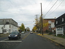 PA 113 northbound in Souderton
After crossing the Schuylkill River, PA 113 is called S. Trappe Road and passes under U.S. Route 422. In Trappe, PA 113 intersects Main Street (part of Ridge Pike, which is a thoroughfare connecting Pottstown, Pennsylvania, with Philadelphia). Northeast of Trappe, PA 113 is known as Bridge Road and intersects Pennsylvania Route 29. In Skippack Township, PA 113 intersects with Pennsylvania Route 73. In Lower Salford Township, PA 113 is known as Harleysville Pike. In Harleysville, PA 113 intersects with Pennsylvania Route 63. In Franconia Township, PA 113 passes over Interstate 476 (the Pennsylvania Turnpike). In Souderton, PA 113 is called Main Street as it enters the town. Then it turns to the northeast as Broad Street before crossing County Line Road.
Bucks County
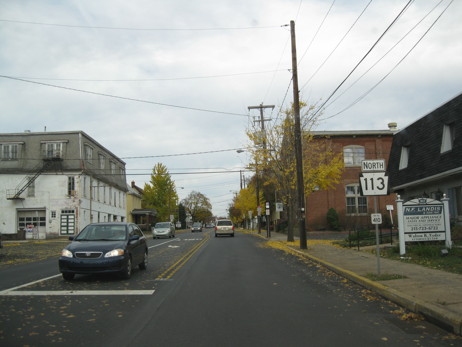
After crossing County Line Road, PA 113 enters Bucks County and PA 113 also interchanges with Pennsylvania Route 309. North of PA 309, PA 113 is called Souderton Road. In Silverdale, PA 113 forms a wrong-way concurrency with Pennsylvania Route 152. On the township line in Kulps Corner PA 113 intersects with Pennsylvania Route 313. About 8 miles (13 km) north of Kulps Corner, PA 113 terminates (ends) at an intersection with Pennsylvania Route 611 as Bedminster Road.
History
PA 113 was first signed in 1928. In 1931, the route underwent construction from East Downingtown to Lionville. In 1946, the northern terminus was moved from U.S. Route 13 in Eddington to its current location.[1]
Major intersections
County Location Mile[2] Destinations Notes Chester Downingtown 0.0
US 30 Bus. (East Lancaster Avenue)0.5 US 30 west (Downingtown Coatesville Bypass)Interchange Uwchlan Township 3.5  PA 100 (Pottstown Pike)
West Pikeland Township 5.5  PA 401 (Conestoga Road)
Phoenixville 11.0  PA 23 (Nutt Road)
Southern terminus of concurrency 11.1 PA 23 (Nutt Road)Northern terminus of concurrency Montgomery Perkiomen Township 18.8  PA 29 (Gravel Pike)
Skippack Township 22.0  PA 73 (Skippack Pike)
Harleysville 26.5  PA 63 (Main Street)
Bucks Hilltown Township 32.1 PA 309Interchange Silverdale 35.3  PA 152 (Walnut Street)
Southern terminus of concurrency 35.5 PA 152 (Baringer Avenue)Northern terminus of concurrency Kulps Corner 39.5  PA 313 (Dublin Pike)
Tinicum Township 46.5 PA 611 (Easton Road)1.000 mi = 1.609 km; 1.000 km = 0.621 mi Culture
Route 113 IPA is the brand name of an India pale ale brewed by the Sly Fox Brewing Company, which operates a brewpub along 113, just west of Phoenixville.[1]
References
Road transportation infrastructure of the metro Philadelphia area Interstates U.S. Routes Pennsylvania Routes New Jersey Routes Delaware Routes Named roads/streets Benjamin Franklin Parkway · Broad Street · City Avenue · Front Street · Girard Avenue · Market Street · Roosevelt Boulevard · South Street · Chestnut Street · Walnut Street
Pennsylvania Turnpike · New Jersey Turnpike · Delaware Turnpike · Atlantic City Expressway · Schuylkill Expressway · Delaware Expressway · Blue Route · Vine St Expressway · North South Freeway · Lancaster Avenue · Bethlehem Pike · Baltimore Pike · Black Horse PikeBridges Delaware Memorial Bridge · Commodore Barry Bridge · Walt Whitman Bridge · Ben Franklin Bridge · Betsy Ross Bridge · Tacony–Palmyra Bridge · Burlington–Bristol Bridge · Delaware River – Turnpike Toll BridgeCategories:- State highways in Pennsylvania


Wikimedia Foundation. 2010.