- Pennsylvania Route 63
Infobox road
state=PA
type=PA
route=63
maint=PennDOT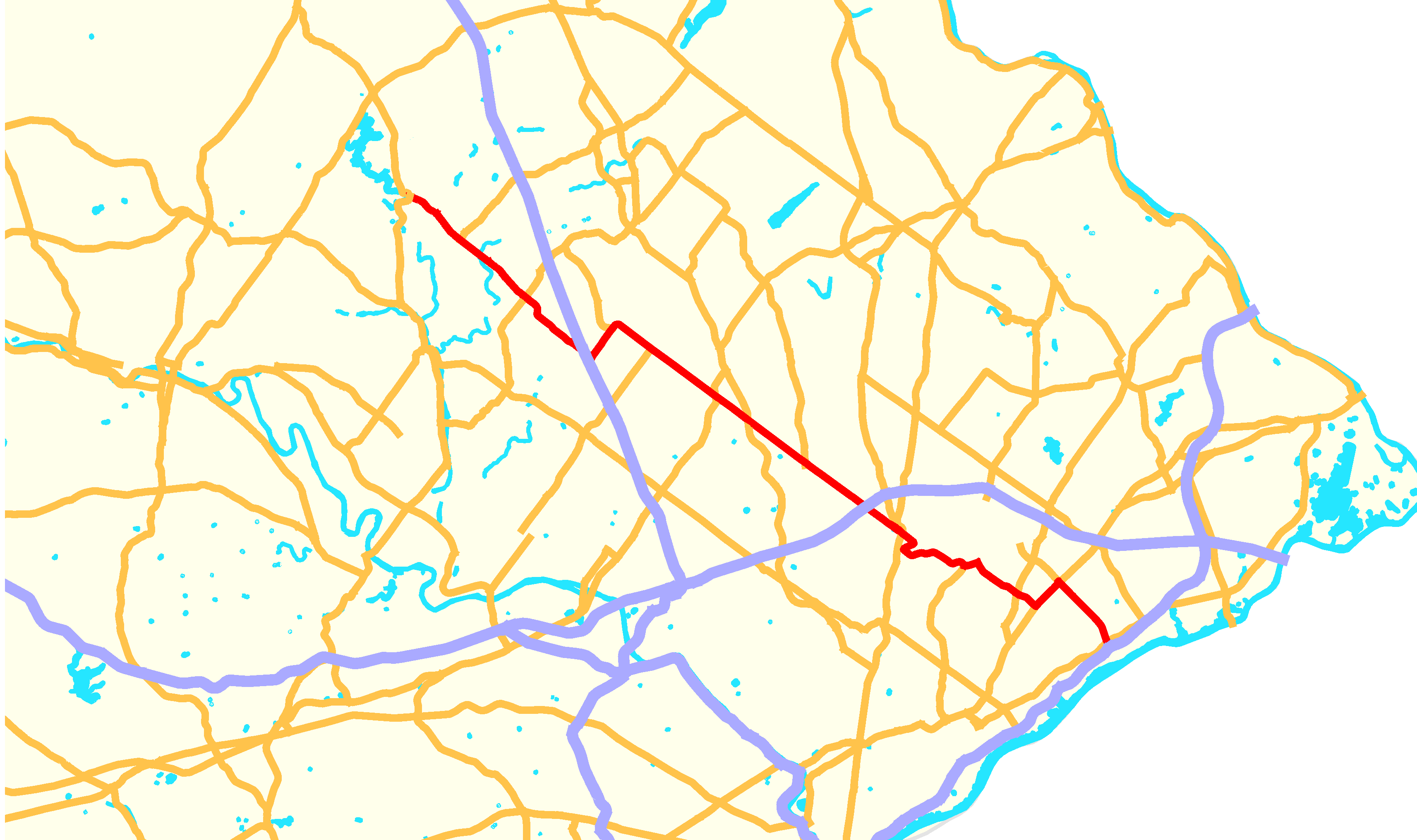
length_mi=36.21
length_ref=cite map|publisher=Federal Highway Administration |title=The National Highway Planning Network|url=http://www.fhwa.dot.gov/planning/nhpn/|year=2005|cartography=Quantum GIS |scale=1 : 273401|accessdate=2007-07-21]
length_round=2
established=1928
direction_a=West
starting_terminus=
junction=
direction_b=East
ending_terminus=
counties=Montgomery, Bucks, Philadelphia
previous_type=PA
previous_route=62
next_type=PA
next_route=64
commons=categoryPennsylvania Route 63 is a 37 mile long
state highway located in thePhiladelphia ,Pennsylvania area. The western terminus of the route is atPennsylvania Route 29 in Green Lane. The eastern terminus is at I-95 in Bensalem Township.Route description
Montgomery County
(Huntingdon Pike) and east of PA 232 its called Philmont Avenue.
Philadelphia
called Woodhaven Road.
Bucks County
In Bucks County, PA 63 has a single exit to US 13. East of US 13, PA 63 ends at an interchange with I-95 at exit 35.
Major intersections
Controversy over Woodhaven Road
Original plans called for the highway to be extended across the full width of
Northeast Philadelphia , but local opposition brought construction to a halt. [ [http://www.philly.com/mld/inquirer/news/special_packages/northeast_phila/10199746.htm For 51 years, Woodhaven's end has been a bump in the road] , "Philadelphia Inquirer, Nov. 17, 2004]References
External links
* [http://www.pahighways.com/state/PA51-100.html#PA63 Pennsylvania Highways - Pennsylvania Route 63]
* [http://www.woodhavenroad.com/ PennDOT's Woodhaven Road project page]
* [http://www.stopwoodhavenroad.com/ Stop Woodhaven Road]
* [http://www.phillyroads.com/roads/PA-63/ Phillyroads.com]
Wikimedia Foundation. 2010.