- Bensalem Township, Pennsylvania
Geobox Township
name = Bensalem Township
native_name =
other_name =
other_name1 =
category = Township
image_size =
image_caption =
flag_size =
symbol =
symbol_size =
nickname =
motto =
country = United States
state = Pennsylvania
region = Bucks
region_type = County
district =
area_imperial = 21.0
area_land_imperial = 20.0
area_water_imperial = 1.0
area_water_percentage = auto
area_percentage_round = 2
area_round = 1
location =
lat_d = 40
lat_m = 06
lat_s = 46
lat_NS = N
long_d = 74
long_m = 56
long_s = 36
long_EW = W
elevation_imperial = 102
elevation_round = 1
population_as_of = 2000
population = 58434
population_density_imperial = 2926.7
population_density_round = 1
government_type =
government =
established_type =
established =
mayor =
timezone = EST
utc_offset = -5
timezone_DST = EDT
utc_offset_DST = -4
postal_code = 19020, 19053
postal_code_type = ZIP codes
area_code = 215
area_code_type =
code2_type =
code2 =
free_type =
free =
free1_type =
free1 =
map_size =
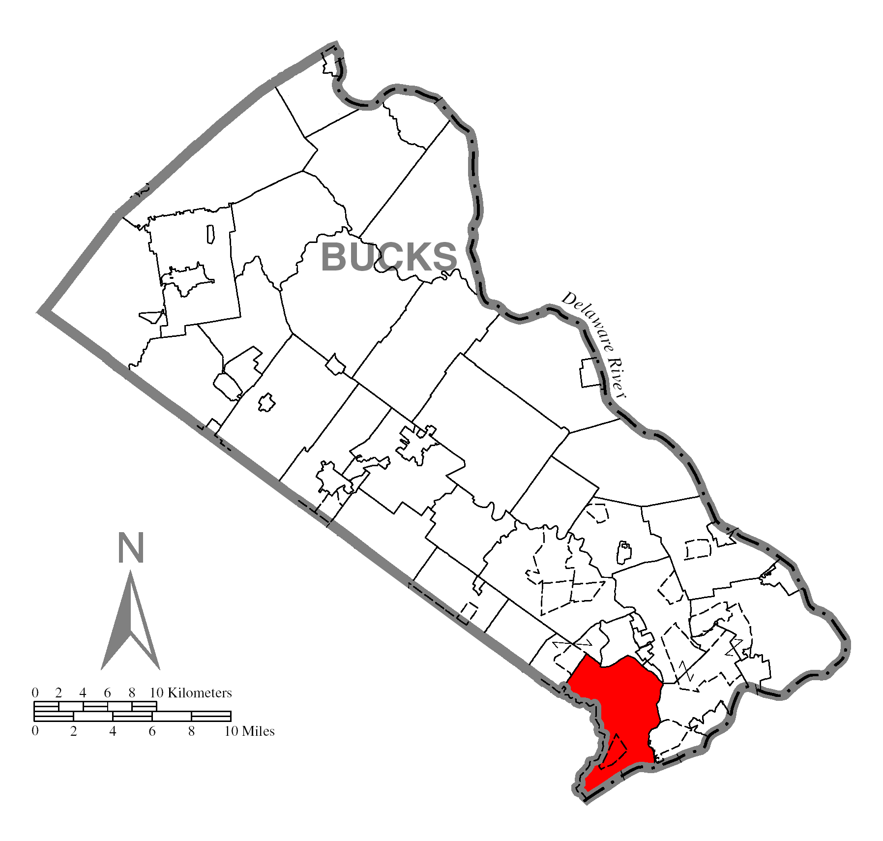
map_caption = Location of Bensalem Township in Bucks County
map1 = Pennsylvania Locator Map.png
map1_caption = Location of Bensalem Township in Pennsylvania
map1_locator = Pennsylvania
map2 = Map of USA PA.svg
map2_caption = Location of Pennsylvania in the United States
website = http://www.bensalem-township.netBensalem Township is a township in Bucks County,
Pennsylvania ,United States . The township is composed of many communities, including Bensalem, Trevose, Oakford, Cornwells Heights, Eddington, and Andalusia. As of the 2000 census, the township had a total population of 58,434, which makes it the tenth largest municipality in Pennsylvania. The township, which was founded in 1692, is almost as old as the state ofPennsylvania itself, which was founded in 1682.Geography
Bensalem is the southernmost township in Bucks County and is bordered by
Philadelphia to the west and south, Croydon to the east, Bristol Township to the northeast, Hulmeville and Middletown Township to the north, and Feasterville, Trevose, and Lower Southampton Township to the northwest. Across theDelaware River in Burlington County,New Jersey to the southeast, there are Beverly, Delanco Township, and Edgewater Park Township.According to the
United States Census Bureau , the township has a total area of 21.0square mile s (54.3km² ), of which, 20.0 square miles (51.7 km²) of it is land and 1.0 square miles (2.6 km²) of it (4.77%) is water.The
Fall line , which separates theAtlantic Coastal Plain region from the Piedmont region, runs through Bensalem, and is visible around theNeshaminy Mall area. [http://www.dep.state.pa.us/dep/deputate/watermgt/WC/Subjects/WSNoteBks/WRAS-02F.htm] [http://www.dcnr.state.pa.us/brc/rivers/riversconservation/registry/low_nesh/LN2.pdf]Demographics
Bensalem has a large and fast-growing foreign-born population, which includes large concentrations of Mexicans, Guatemalins, Koreans, and Indians.
As of the
census GR|2 of 2000, there were 58,434 people, 22,627 households, and 15,114 families residing in the township. Thepopulation density was 2,926.7 people per square mile (1,129.8/km²). There were 23,535 housing units at an average density of 1,178.8/sq mi (455.0/km²). The racial makeup of the township was 82.90% White, 6.93% African American, 0.22% Native American, 6.61% Asian, 0.05% Pacific Islander, 1.64% from other races, and 1.65% from two or more races. Hispanic or Latino of any race were 4.29% of the population.There are 22,627 households of which 30.6% have children under the age of 18 living with them, 51.6% were married couples living together, 10.5% had a female householder with no husband present, and 33.2% were non-families. 26.3% of all households were made up of individuals and 7.9% had someone living alone who was 65 years of age or older. The average household size was 2.56 and the average family size was 3.14.
In the township the population was spread out with 23.1% under the age of 18, 8.9% from 18 to 24, 32.5% from 25 to 44, 24.5% from 45 to 64, and 11.0% who were 65 years of age or older. The median age was 36 years. For every 100 females there were 99.0 males. For every 100 females age 18 and over, there were 96.9 males.
The median income for a household in the township was $49,737, and the median income for a family was $58,771. Males had a median income of $39,914 versus $30,926 for females. The
per capita income for the township was $22,517. 7.4% of the population and 6.0% of families were below thepoverty line . Of the total population, 6.8% of those under the age of 18 and 10.6% of those 65 and older were living below the poverty line.Landmarks and attractions
Bensalem is home to
Philadelphia Park Racetrack , a 1 mile thoroughbred horse racing track. This facility opened in November 1974 as Keystone Racetrack. The name was changed to Philadelphia Park in 1984. The track became notable as the original home of 2004Kentucky Derby andPreakness Stakes championSmarty Jones . A new multi-million dollar slot-casino has been built on the grounds of Philadelphia Park, to be followed by a large, luxury hotel and eventually a golf course.The township is also home to the Cornwells Heights
SEPTA station, which is the largest park and ride in the state of Pennsylvania. [http://www.95revive.com/options.cfm] and serves as a commuterAmtrak station toNew York City .For the
M. Night Shyamalan movie Signs, starringMel Gibson , a stage set was built inside a warehouse on State Road for many of the interior shots. [http://media.movieweb.com/galleries/81/notes.pdf] [http://www.signsmovie.co.uk/set8.html]Neshaminy Mall is located within Bensalem. It was one of the first malls to be constructed in the country in 1968. It has four main anchors (three department stores and one movie theatre) and over 120 smaller shops and eateries. The AMC Neshaminy 24 Theater was the largest theater in Pennsylvania when it opened. [http://www.ggp.com/Properties/MallDirectory.aspx?smuid=556]
It's reported that
Ben Franklin flew his famous kite in Bensalem, at theGrowden Mansion . At the time, the Galloway family owned the mansion and all of present day Bensalem Township. Franklin would travel through Bucks County dozens of times to visit his daughter living on theDelaware River in Bensalem.Government
In 1987, the people of Bensalem voted to become a second-class township with a 5 member council and a mayor. The township also has its own 9-member school board. The current Republican mayor, Joseph DiGirolamo, is in his 4th consecutive term. He was elected mayor in 1994. His four term expires December 31st, 2009.
References
External links
* [http://www.bensalem-township.net Bensalem Township Home Page]
* [http://www.bensalemschools.org Bensalem Township School District]
Wikimedia Foundation. 2010.